
It All Started Here
You don’t have to go far to find some rocks here in Fairfax County, Northern Virginia, and the rocks tell a fascinating story of earth-shaking scale; continents colliding and splitting asunder, right beneath our feet. Today’s post goes straight to the middle of it all, not far from our apartment.

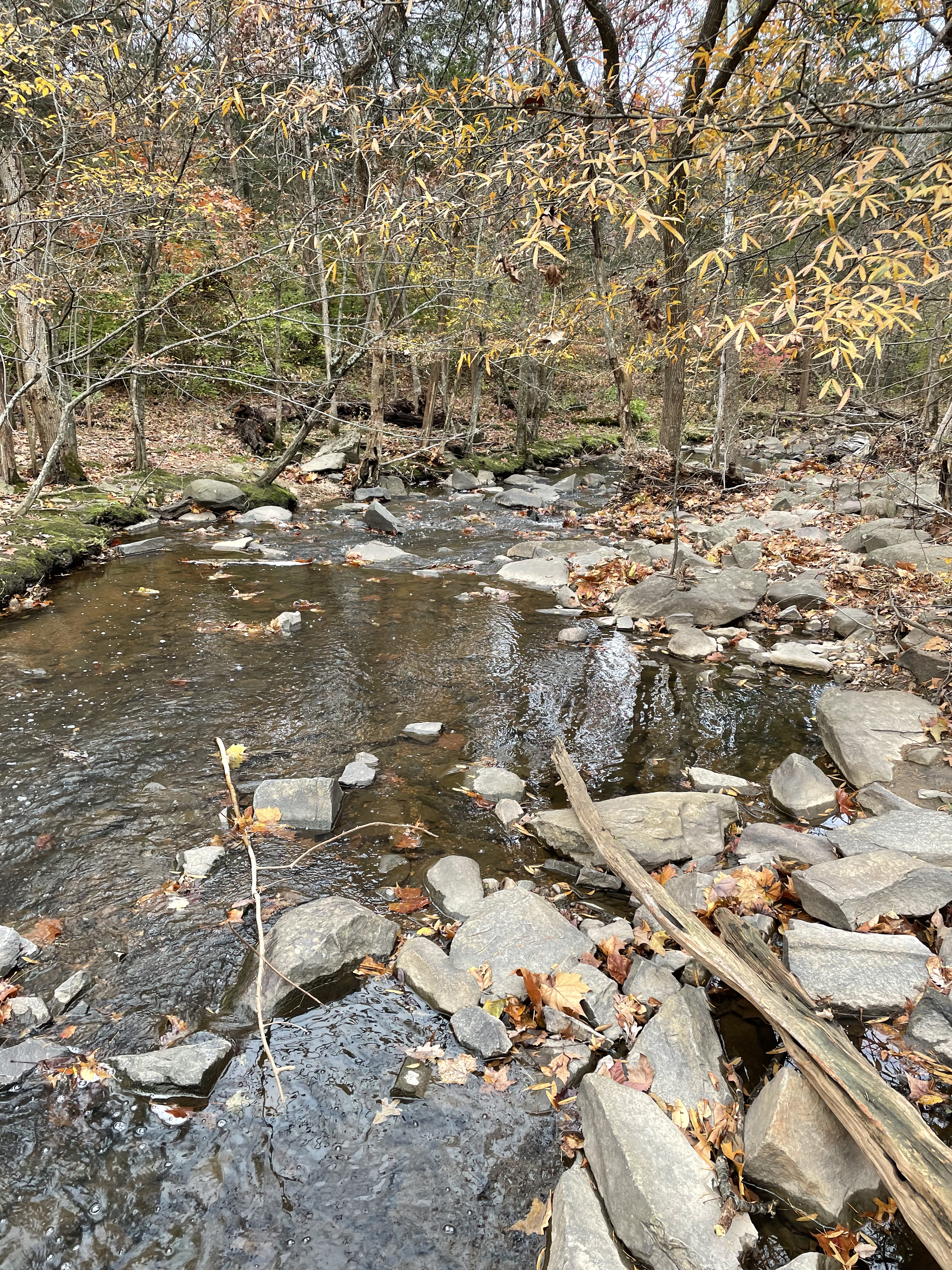
It was a few degrees above freezing, but that doesn’t matter to the rocks or to me and my stalwart field companion. Figure 2 shows the field area and our approximate path along Sugarland Run, a meandering creek that passed through a narrow, rocky channel before entering a wide, boggy area as it flowed north (towards the Potomac I presume).

Towards the southern end of our trail (dashed red line in Fig. 2), we encountered very-large boulders adjacent to the creek (Fig. 3), which had a bed composed of angular gray casts showing little evidence of transport (Fig. 4).
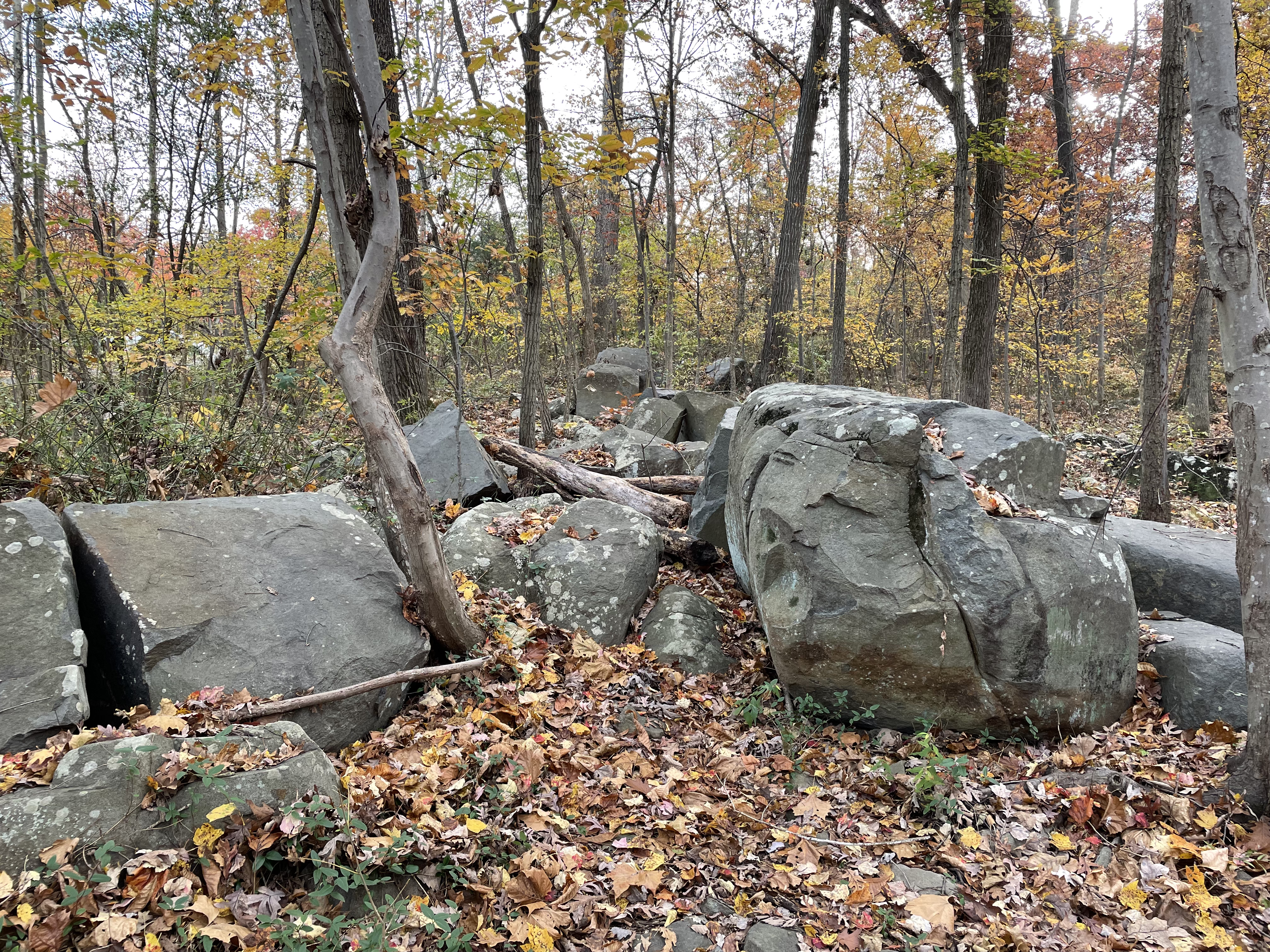
We didn’t find any large boulders (some were as large as automobiles) that were definitively in place (i.e., visibly attached to subjacent basement rock), but these huge stones weren’t moved far at least not all of them. In several places, they were obviously pushed aside by bulldozers to make way for apartment buildings. Nevertheless, there is no obvious reason for some of them to have been displaced (e.g., Fig. 3), so it is reasonable to assume that the boulder fields represent the outer layer of unexposed rocks supporting the area, fractured and eroded but too resistant to have been weathered since exhumation, probably during the last ice age.
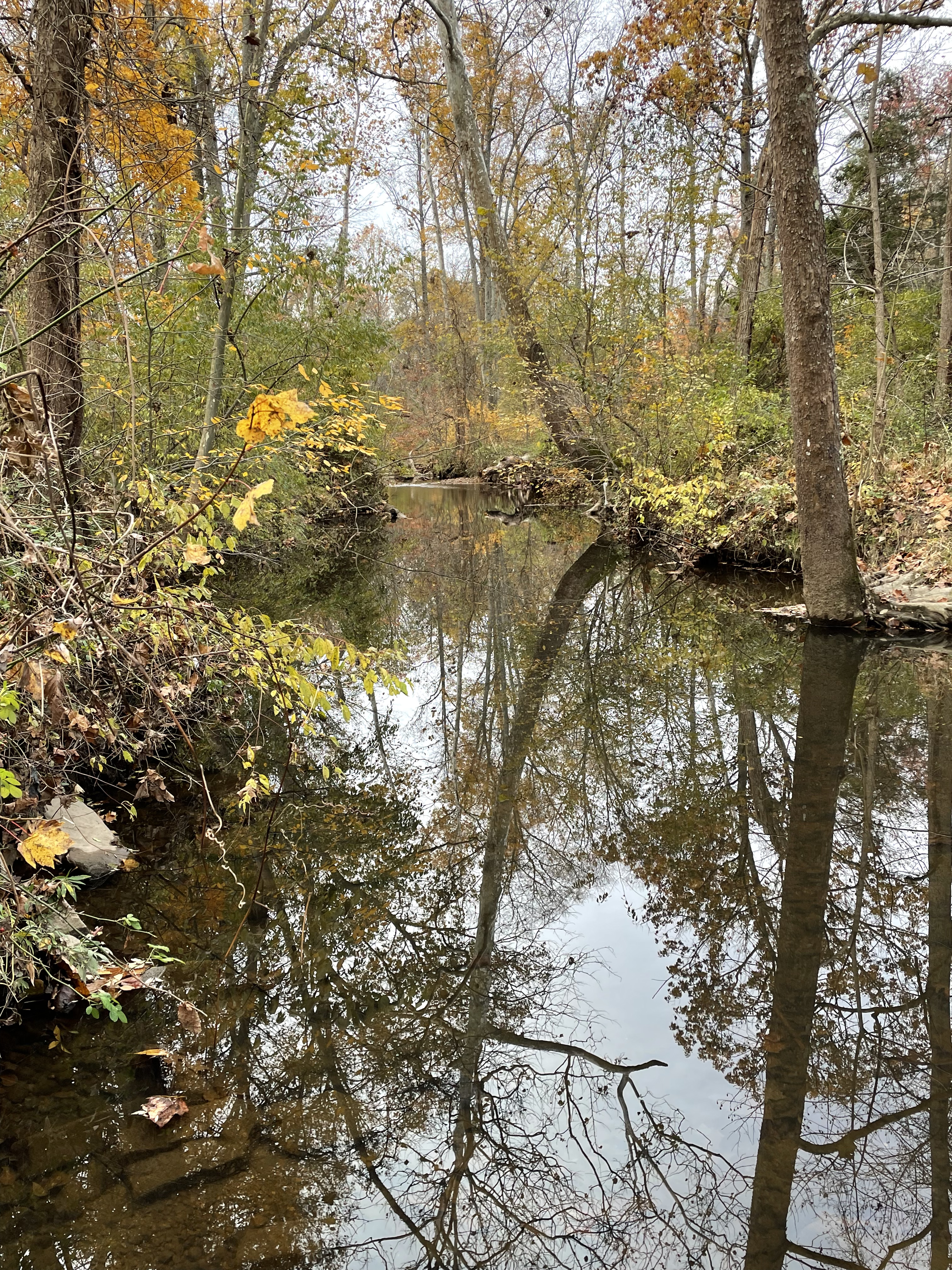
The drainage has been disrupted by construction, resulting in previous stream beds that have been cut off.

In keeping with the Rocks and (no) Roads principle of studying the earth as we see it, I couldn’t find any freshly broken rocks, but we can say for certain that this is a relatively uniform exposure of homogeneous, fine-grained, gray rocks with no obvious phenocrysts.

A couple of interesting characteristics of this rock are visible in Fig. 6: first, it weathers to a reddish color from an original gray tone (compare to Fig. 5, which shows boulders not exposed to constant water); secondly, the texture is fairly uniform. This last observation requires clarification. The hand sample in Fig. 6 was covered with whitish biological material of unknown composition, but if you stare at Fig. 6 long enough (or enlarge the image) you will notice that it does not consist of identifiable “grains” of sand. As I learned from my travels around Australia, when you can’t see sedimentary particles, and there is no apparent structure, you are looking at an igneous rock of some kind.
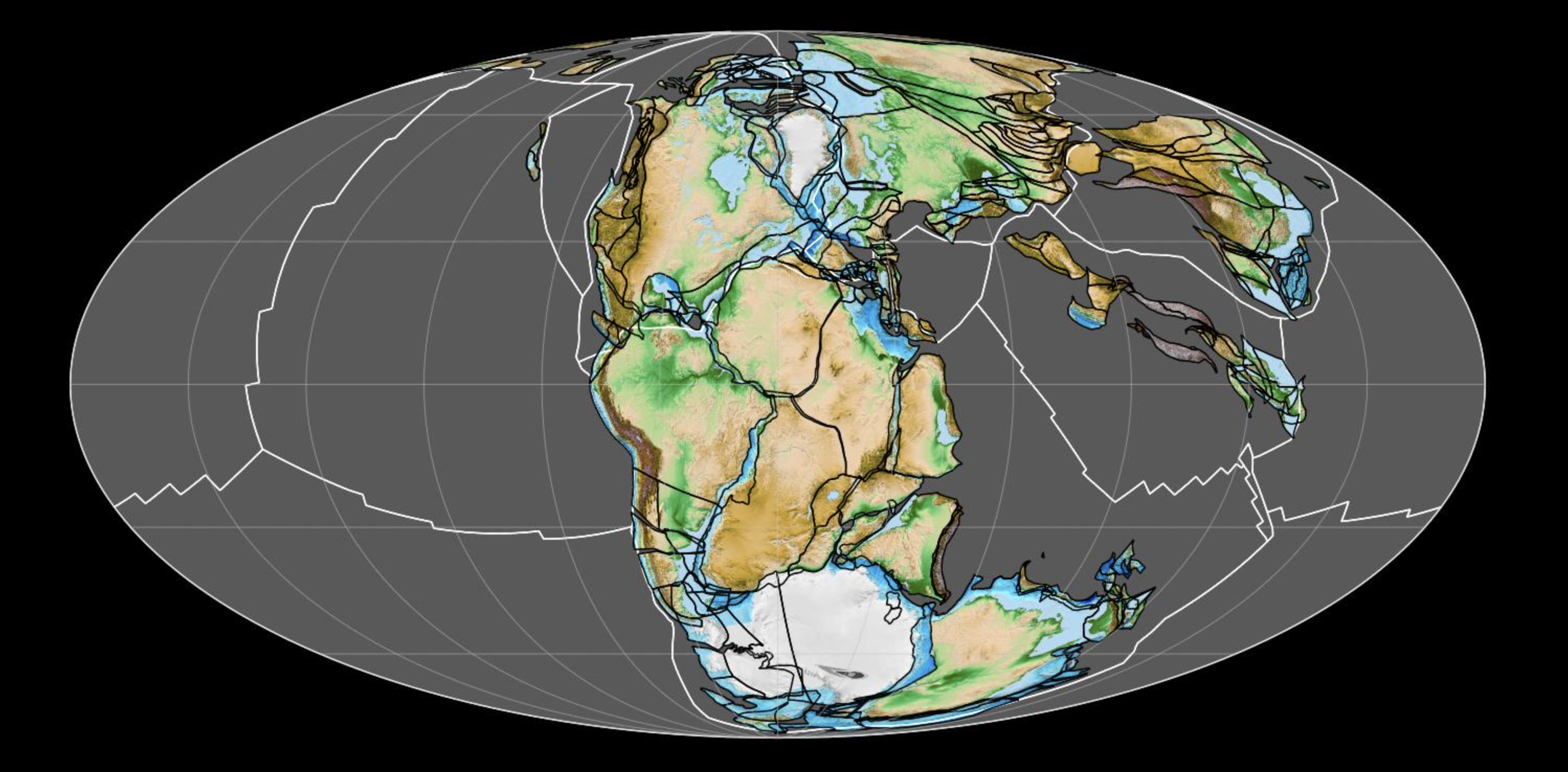
The lighter, bluish gray area in Fig. 2 indicates the extent of a rather special but widely distributed rock along the east coast of North America. According to several field reports, summarized in the Rock-D app, this is a high-titanium quartz-normative diabase. A traditional classification places it in the tholeiitic magma series. It has been reliably dated to have been emplaced between 200 and 174 Ma. Yet another unique rock type found within the Newark Supergroup.
In a previous post, we examined some of the sedimentary rocks deposited in subsiding basins during this time period. Meanwhile deep beneath the surface, magma squeezed into fractures in the weakened crust as Pangea began to split apart. Another piece of the puzzle falls into place. A single continent containing all of the earth’s land (look at a globe to imagine what that must have been like), was torn apart by slowly convecting rocks within the mantle (like a pan of water boiling), heated by the primordial molten iron of the earth’s core.
To help you visualize it, here’s a plate construction from just before all hell broke loose (geologically speaking) created by Fama Clamosa (I couldn’t find a solid reference but this is about what I’ve seen elsewhere).
Jump ahead 200 million years.

That completes our journey back in time. One last point I’d like to make, and explain the title of this post, is that Northern Virginia was ground zero (see Fig. 7) and every time I go for a walk or short ride, I’m reliving more than a billion years of the earth’s history. It is a humbling experience.
One last thought: our planet transformed from the Paleozoic Era (Fig. 7) to the modern world in 200 million years; at a spreading rate of about 1 inch per year (total widening of the basin) and a little math (200 million inches equals ~3200 miles), I see that Herndon, Virginia is about 1700 miles from the mid-Atlantic ridge, the point where it all began in the early Jurassic Period.
I’m feeling dizzy…

Trackbacks / Pingbacks