
Claude Moore Park: How Geology Won the Civil War
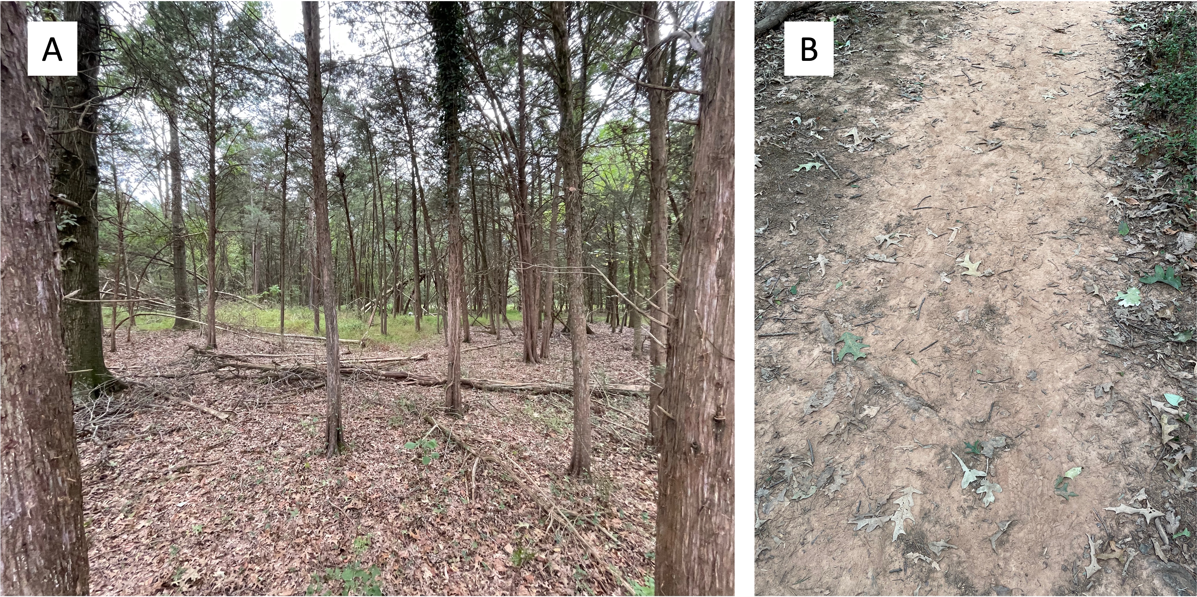
That is a grandiose title and I admit it’s only part of the story. Nevertheless, the movement of General Lee’s Army of Northern Virginia was tracked from a lookout tower constructed on the ridge that bounds the northern margin of Claude Moore Park (Fig. 1), from where his troops were observed to be moving north, towards Pennsylvania. Because of this tactical intelligence, Union forces converged on Gettysburg and were able to repel the Confederate invasion. Most historians refer to Gettysburg as the high tide of the Confederacy.

The study area is located near the Potomac River, where it drops from the Appalachian Mountains to Chesapeake Bay (Fig. 1). The ancient rocks that underly this area have been deeply eroded by streams, producing a labyrinth of hills and valleys. This post begins at the Uplands (Fig. 1) and shows the dramatic change in both ancient and modern sedimentation that results from such a landscape.

The ridge probably follows the erosion-resistant channel of a river, with coarser sediment forming uplands because it is resistant to erosion. It is like a topographic inversion; what was once low (the bed of a gravel river) is now high because cobbles are difficult to move by water that is no longer focused in a river channel.
The slope reduces southward and drains into a pond (Fig. 1), which is simply the lowest topography and thus wet year round. However, the entire area labeled as “Wetland” in Fig. 1 is probably periodically inundated during wet times.

This post has shown how sedimentation can change over short spatial distances, and topography can become inverted. The wetland area was once the flood plain of a gravel river (e.g. Fig. 2), but the silt and clay that collects on a flood plain is easily eroded and weathered when it is exposed to the elements, creating local wetlands surrounded by ancient river beds.
This interpretation is speculative because bed rock is never far beneath the surface in northern Virginia. We saw no outcrops on the ridge, however, which doesn’t mean that there is no resistant rock beneath the gravel-covered slopes, but it is consistent (geologists love that word) with my interpretation. Further support for the ancient stream-bed hypothesis comes from the orientation of the ridge, which doesn’t follow the regional structural trend of NE-SW for basement rocks. Note that the Appalachian Mountains define this trend (see Fig. 1), as have all of the Paleozoic and Mesozoic rocks we have encountered in the area. The uplands (see Fig. 1) ridge is oriented east-to-west, which goes against the grain, geologically speaking.
Thanks to an ancient gravel stream, the Union army was alerted to the movements of the Confederate invasion and stopped them at Gettysburg. Geology saved the day again…

Trackbacks / Pingbacks