
The Subsiding Tidal Basin

In previous posts from northern Virginia I have discussed Precambrian orogenies, the rifting of Gondwana to form the Atlantic Ocean, erosion of the deep-seated roots of mountains, and the deposition of sediments along the modern Potomac River. With so much of earth’s history displayed here in my new home, I always keep my eyes open for the next geological adventure. I wasn’t disappointed when I walked along the banks of the famous Tidal Basin in Washington D.C. (Fig. 1), surrounded by monuments to Jefferson, Franklin Roosevelt, Martin Luther King Jr., Lincoln, George Washington…
The Tidal Basin itself (Fig. 2) is a monument, cherished by D.C.’s residents, because the cherry trees that line its banks, which were in bloom during my visit, were originally given to the United States by Japan in 1912. However, it has another symbolic meaning, as a reminder that the earth doesn’t stand still, not even long enough for our civilizations to flourish and decline naturally.
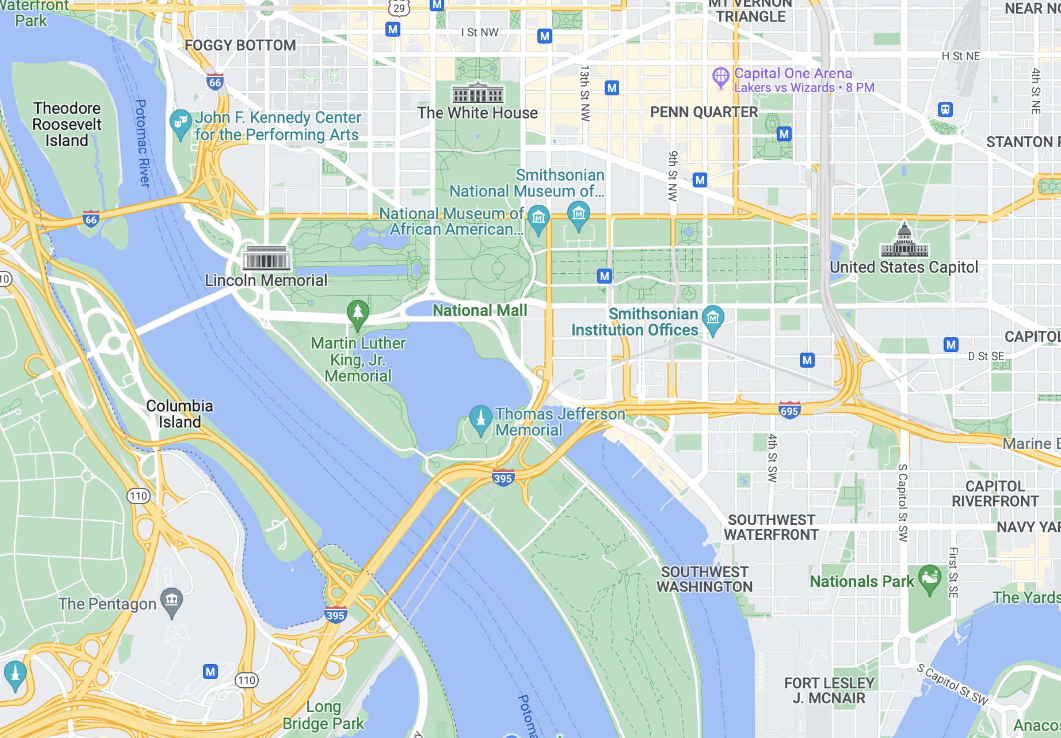
The western side of the Potomac River (Fig. 3) comprises rolling hills and many creeks draining the deeply eroded topography. Capitol Hill (see Fig. 2 for location) is also high ground, but between these two topographic highs, the river’s channel has filled with fine-grained sediment (i.e. mud).

The northern end of the Tidal Basin (see Fig. 2 for location) is high and dry (Fig. 4).
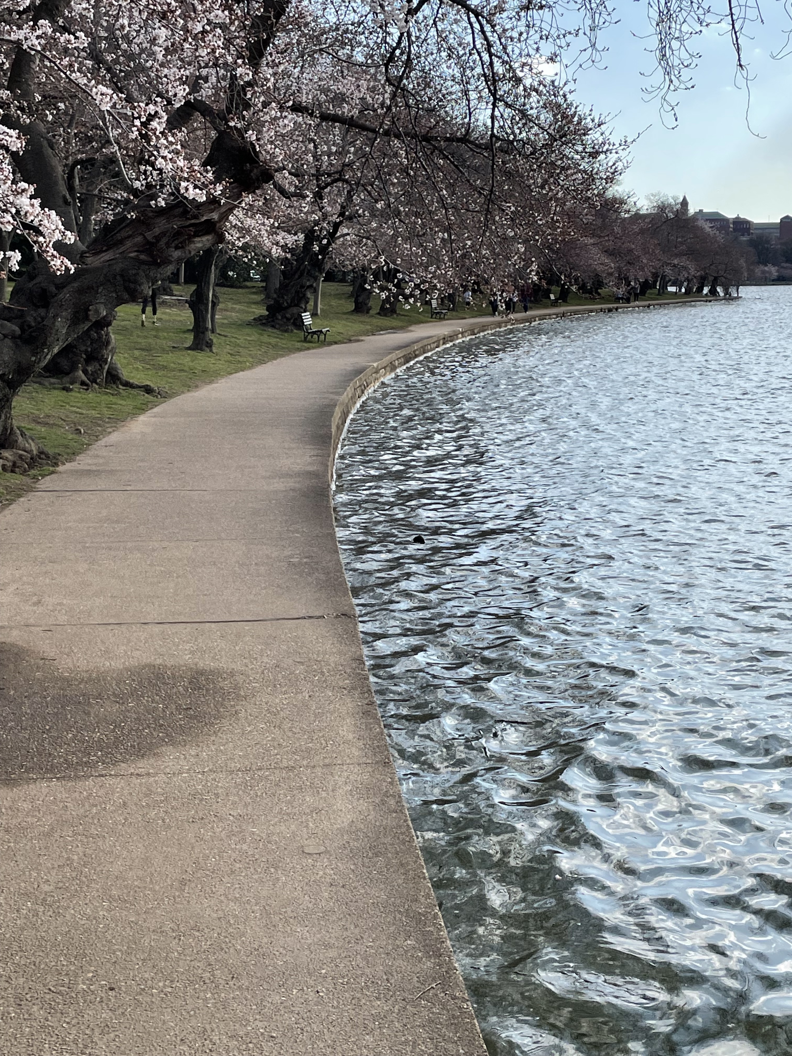


The southern end of the Tidal Basin is subsiding. This isn’t surprising, but the rate is alarming. For example, a back-of-the-envelope calculation, comparing Figs. 4 and 6, suggests subsidence of about three feet in less than a hundred years (since construction of the seawall). That works out to a burial rate on the order of 3/8 inches per year. That is substantial and explains why the National Park Service hasn’t kept up with the problem.
There is nothing surprising about the settling of muddy sediments at the apparent rate I observed in the Tidal Basin. The only confusing aspect of this predictable problem is why anyone would have thought it was a good idea to build massive stone edifices (e.g. Jefferson and FDR memorials) on muddy soil only a few feet above the high-tide line.
How long until Washington Monument becomes the leaning tower of America?

Recent Comments