
A Quick Visit to the Tacoma Art Museum
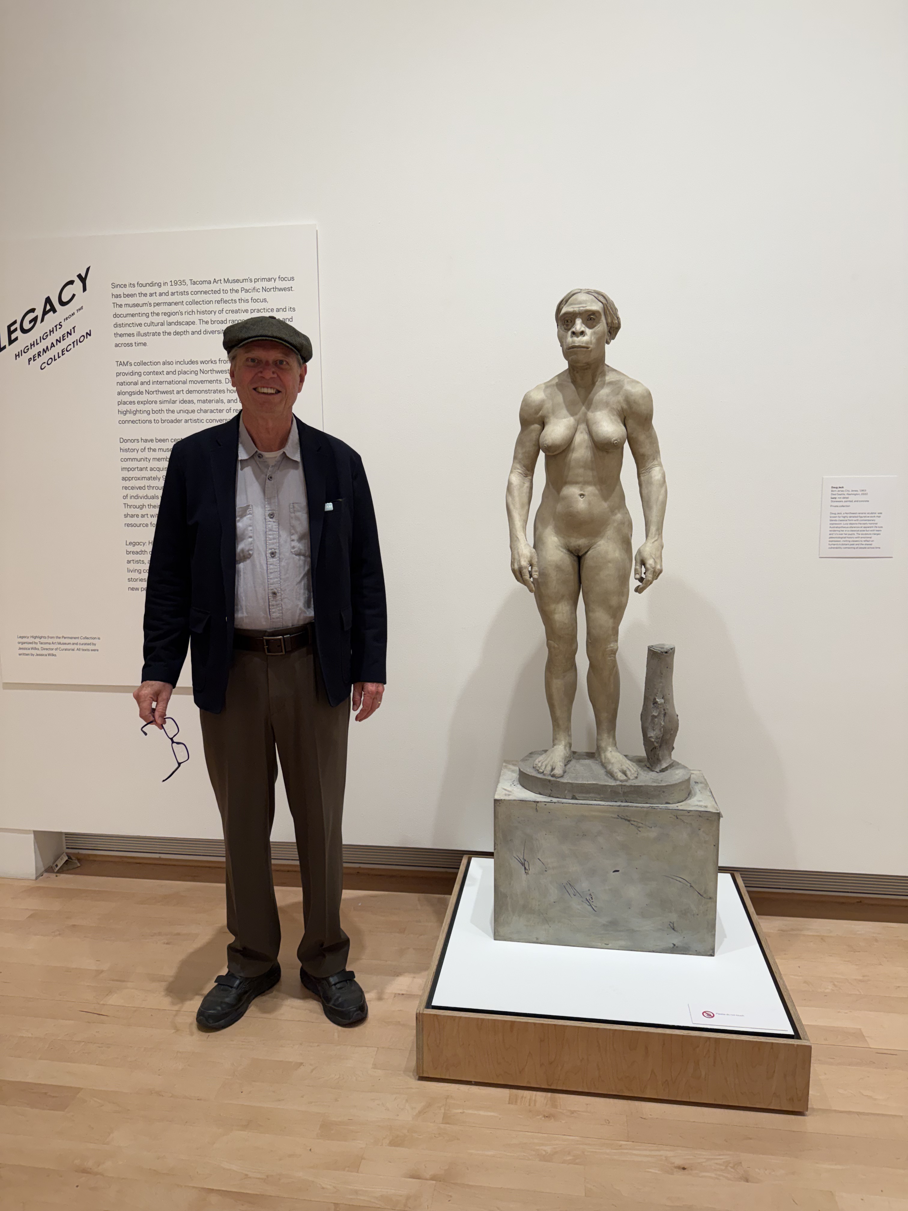
Ever since a 40% complete skeleton of a female Australopithecus afarensis was discovered in 1974, in Ethiopia, she’s been put on a pedestal both figuratively and literally. A PNW artist created this life-size sculpture of her, giving her a strong upper body and legs in accordance with current theories that she walked a lot, but also climbed trees.

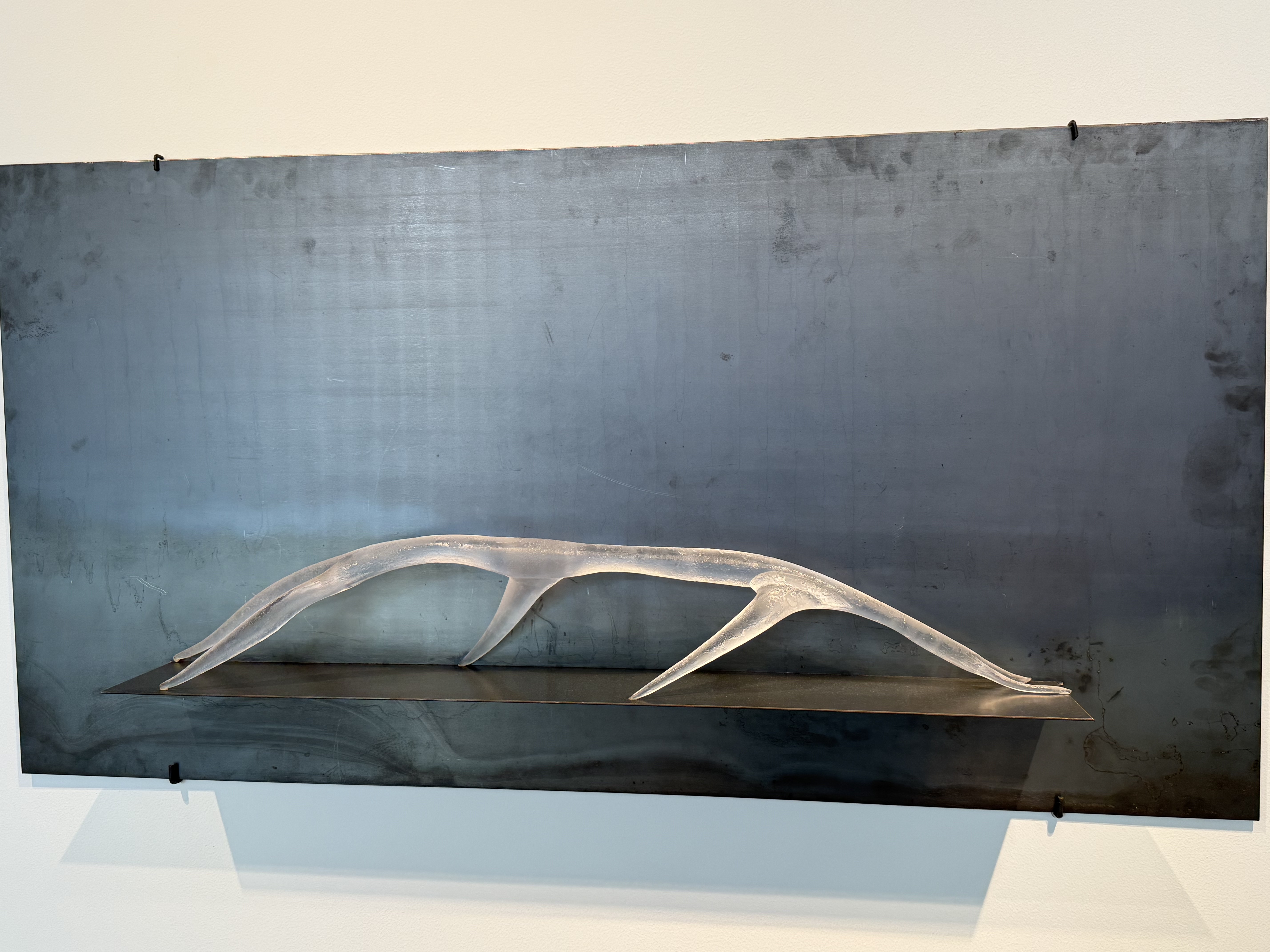
There are a lot of glass exhibits because Tacoma also hosts a famous glass museum and working foundry.

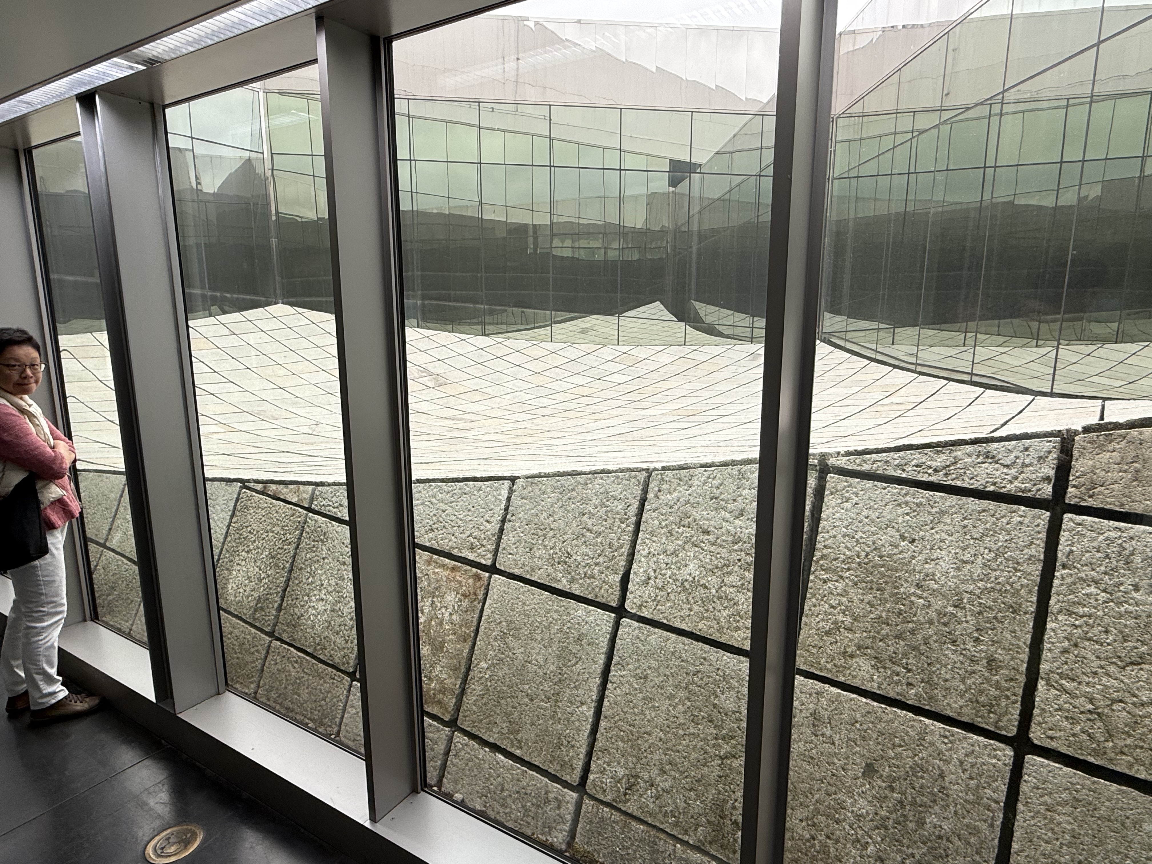
This curious display fills an inaccessible plaza within the building. The stones were acquired from a village in China, where they served as a roadway constructed 500 years ago. The exhibit is designed to represent a wave on the surface of Commencement Bay.
The Geology of Franklin Falls
Washington has more than 3000 catalogued waterfalls, so we stumble onto them regularly. Waterfalls form wherever there is a change in the lithology of the crustal rocks: along crustal faults, which naturally create vertical planes; where weaker rocks lie beneath strong ones and are reached by a downcutting river; and of course where glaciers have sculpted the land. These natural features create spectacular views as well as revealing glimpses of deep time.

Plate 1. Franklin Falls is about 70 feet high. The reddish rocks forming the cliff are Eocene sandstones and volcanic rocks (56 – 34 Ma). The park follows the South Fork of the Snoqualmie River along I-90. The parking lot is quite large and we found a parking space, even though it was great weather; more than one million people visited the site in June.
The rocks in this photo don’t reveal well-defined bedding although there is a suggestion of bedding to the right side of the image. However, I think the bedding marker is the vertical, dark streak that is slightly wavy. This curvature suggests that these rocks were deformed while ductile (buried deep enough to bend rather than break). The geologic map identifies an anticline in the area, and I think I found it.

Plate 2. Franklin Falls is located just west of Snoqualmie Pass, at an elevation of about 3000 feet. The Northern Cascades are very rugged and access is limited, especially in the winter. The topography shown in this map reveals steep slopes, especially through this pass, which I assume is the easiest route through this rugged terrain.

Plate 3. The geologic map from Rock D shows three distinct rock units, which reveal the general geological history of this area. The oldest rocks are part of the Jurassic melange belt (201 Ma), comprising metasedimentary and metavolcanic rocks that were originally deposited in deep water, possibly on a submarine fan. These sediments were buried and then scraped off the subducting ocean plate. This process deformed them as if they were put in a blender; hence the name, melange.
Almost 150 million years are missing before Eocene volcanic and sedimentary rocks were deposited in a continental setting, possibly a river or lake not too close to mountains; the rocks seen in Plate 1 don’t contain any large boulders like we see in the modern river bed below them.
Granodiorite is an intrusive igneous rock containing light-colored feldspars like albite, and slightly less quartz than granite. This batholith was emplaced during the Miocene (23-5.3 Ma) into rocks much like the Eocene rocks exposed along the river (Plate 1). However, granodiorite magma does not produce andesite, which is the most common volcanic rock in the Cascades. All those plutons being shoved into the upper crust exhibit a lot of chemical variety because the magma mixes with continental crust as it rises.
The final piece of the puzzle is the normal fault shown on the geologic map. The NW block of melange is labeled with a “U” to indicate that it moved upwards relative to the SE block of sandstone/volcanics. This displacement brought the older (Jurassic) rocks upward, eroding the rocks that were deposited above them. The fault isn’t shown as extending into the granodiorite, however; it is very difficult to identify a fault (usually by displaced stratigraphic units) in relatively uniform intrusive rocks, which contain no layering. If the field geologist saw evidence of this fault extending into the granodiorite, they would have used a dash line to indicate uncertainty. This line stops cold…

Plate 4. This photo is looking NW, across the fault, towards the melange. This peak is a block of Jurassic rock that was once tumbled in the accretionary wedge after it was scraped off the subducting ocean crust. The peak further back is Denny Mountain, Oligocene (34-23 Ma) volcaniclastic deposits. They are older than the granodiorite. We couldn’t hike around these mountains to see the rocks up close, but fortunately, gravity has made our job easier.

Plate 5. These are small boulders of the Jurassic Melange that rolled down the steep slope (i.e. face of the fault) and landed in the river bed (see Plate 1). (A) Mud deposited in the deep-sea trench was buried deeply enough to squeeze quartz and feldspar into veins (thin white lines in the image). However, it is probable that the thick layer of light-colored minerals were injected along weak points when the Miocene granodiorite was emplaced. Note that the vein becomes more orange to the right of the sample; this is probably a local concentration of K-feldspar (e.g. sanidine). (B) This sample looks like it was spun in a blender because the thin layers of light-colored minerals are twisted rather than approximately following original bedding (which has been obliterated).

Plate 6. This rounded boulder of granodiorite is about 18 inches in diameter. The large, white phenocrysts are plagioclase feldspar with a low Ca content whereas the darker ones with blurred sides are hornblende. The matrix is fine-grained plagioclase with a higher Ca content (feldspar composition varies with potassium-sodium-calcium). Calcium is associated with dark, potassium with pink, and sodium with white-colored crystals.
Summary
Today’s field trip was a unique opportunity to integrate the large scale observations (Plates 1 and 4) with hand samples (Plates 5 and 6) using a geologic map (Plate 3) as a guide to understanding the geologic history of the Cascades Range. Let’s try to create a simple, plausible geological history from what we know.
I’m going to list a series of geologic events because I don’t feel like finding/creating schematic cross-sections to pictorially demonstrate what I’m saying. I’ll start from oldest and proceed to the youngest.
- About 200 Ma: Muddy sediments were deposited in a subduction trench, which was approximately aligned N-S along the axis of the later Cascades range. Over the next 10-20 Ma these sediments were buried miles beneath younger erosional debris, until they were snagged by the overlying NA tectonic plate and deformed like putty.
- Between 120 and 60 Ma: It is unclear exactly what occurred, but subduction ceased, probably because several large crustal blocks slid to the NW along a series of transform faults. The melange we see in Plates 4 and 5 missed the boat and remained buried, slowly inching their way to the surface.
- About 60 Ma: Subduction resumed and a series of volcanoes produced lava, which mixed with sandy sediments in a continental environment. Volcanism continued for 30 Ma, creating a mixture of fresh lava and sandy sediments, which were buried while erosion continued — a delicate balance of tectonic uplift and isostatic sinking.
- Between ~30 and 23 Ma: Tectonic uplift increased, bringing the Jurassic melange and Eocene rocks (Plate 3) into the crust’s brittle fracture zone, driven by a combination of subducting plate dynamics and upwelling magma, as the ocean plate melted. This agglomeration of different rock types began to fracture along contacts, while still deforming plastically internally. The normal fault seen in Plate 3 would have occurred along such a seam during this complex exhumation process.
- A series of hot, rising plumes of magma originating at the top of the subducting ocean slab eventually reached these rocks, possibly within a few miles of the surface, between 23 and 5 Ma. The granodiorite filled every fracture and fault, creating the complex pattern seen in Plate 3. The thick veins of quartz/feldspar seen in Plate 5A would have been injected during this interval.
- Exhumation has continued, from 5 Ma to the present, modified by glacial scouring of the ancestral Snoqualmie River canyon. Today we see these rocks conveniently frozen in time, from our perspective.
Identifying the contacts between these many rock facies is a laborious task that will take decades, if not centuries, to complete. Nevertheless, it is obvious that a lot has occurred in the last few million years. The earth’s surface is a conveyor belt on which the pile of soil/rock is constantly removed by wind/rain/snow/ice…
That’s my story…
Review of “Our American Israel” by Amy Kaplan
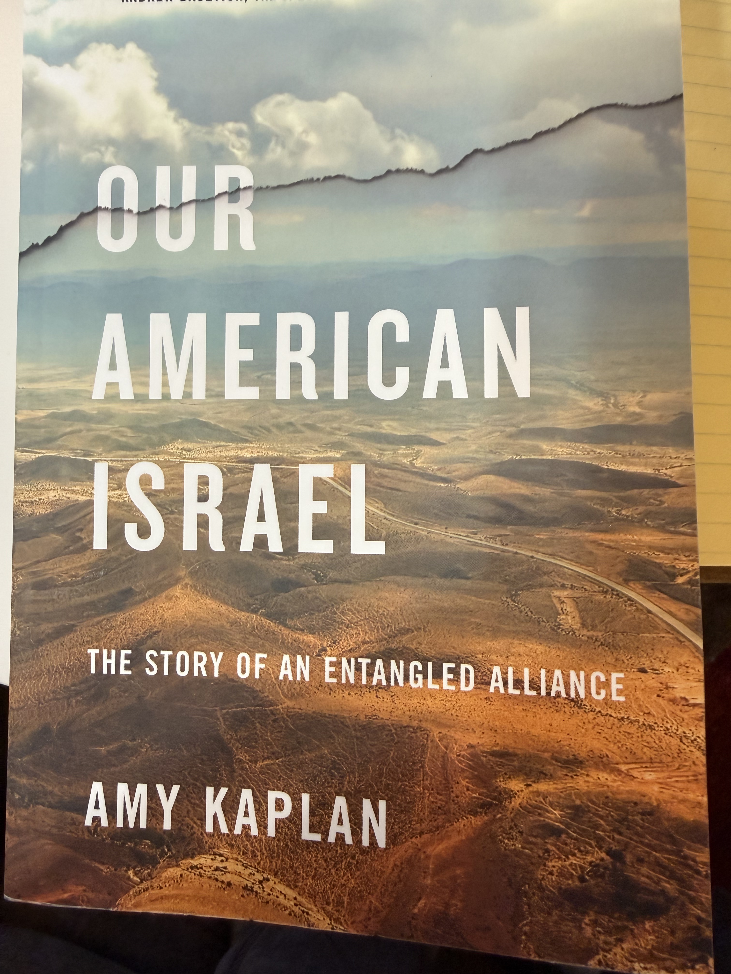
This book is an objective, if potentially disturbing, history of America’s relationship with Israel. The author does a good job explaining a lot of what I witnessed during my life, but she ties all those disparate news stories into a coherent picture of the myriad special interests and fantasies comprising America’s global perspective. Kaplan is a professor of English, so the writing and punctuation are very good and mostly readable. However, I started finding cut-and-paste errors in the last third–better than most authors accomplish.
A lot of the public perception of the American-Israeli relationship is told through detailed descriptions of Israel as presented in movies and newspapers, including short quotes from cited sources listed in the appendix. This got a little excessive in my opinion. Nevertheless, it served as the cement that bound the news into an accurate depiction of this complex relationship.
The picture is presented in a balanced approach for every aspect of this alliance, leaving the reader to make up their own mind; however, I suspect that Kaplan is skeptical of the mainstream story as portrayed in the press and government statements. I applaud her discipline in not saying what I voice daily; but this book was published in 2018, and a lot has happened since then.
I definitely recommend this as background for anyone trying to understand what the hell is going on in the Middle East, and America’s role in this unstable part of the world. While I was reading this book, I stumbled on a YouTube video by Andrei Jikh about recent events in this region and their potential impact on the global economic system, which proposes an economic reason for America’s support for Israel–the root cause for instability in the region.
This book should be treated as a primer for understanding why U.S. presidents have reaffirmed America’s unwavering support for Israel, no matter how the rest of the world interprets its actions.
Review of “The Break Down” by B. A. Parks

It’s difficult to avoid comparisons between this mystery novel and one I reviewed recently because they are so similar, even though this book was written in 2017 whereas You Don’t Want to Know was written in 2025. I don’t want to give away the plot, so I’ll only say that they could have been written from the same outline. I guess that means that gaslighting has become a standard tool in mystery novels.
The author does a good job presenting the break-down of the central character’s mental state as the days go by. The reader is reminded of passing time by chapter headings using the date. The victim is the first-person narrator, so the story involves a lot of introspection. Sometimes this internal dialogue gets more than a little repetitive. The lack of another perspective also means that the reader only knows what Cass (the protagonist) thinks about explicitly, which requires a clever gimmick to avoid the antagonist telling all in Act III. The author pulls this off very well.
The suspense is somewhat downgraded because we know that Cass is losing her mind, so whatever boogey man she’s imagining isn’t really there. However, her state of mind, including fear and paranoia, is presented in a believable way. I could sympathize with her apprehension about a murderer being on the loose in her remote neighborhood, given her disintegrating sanity.
This is a decent story that kept my attention enough to read a few pages every day. Some books feel like a homework assignment. I have to admit, however, that I wasn’t surprised by the ending because I had just finished You Don’t Want to Know. I greatly prefer this story because it has fewer meaningless characters and subplots, and it is 300 pages shorter.
I found the narration and general tone pleasant enough, so I don’t have any major complaints.
I recommend reading The Break Down if you stumble across it.
Geological Survey of the Columbia River Gorge
The popular route east from Portland, Oregon, is I84 following the Columbia River, which cuts across the Cascades range. There are plenty of scenic views and geology to examine, but few safe places to stop. Thus we followed the Washington shoreline along state route 14.
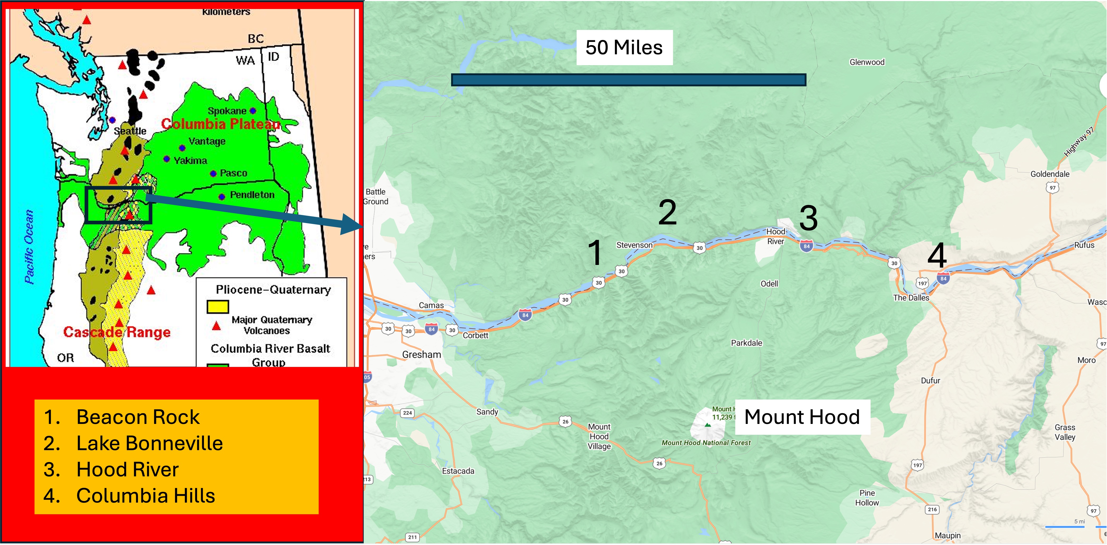
The inset map shows the distribution of volcanic rocks within Washington and Oregon. The oldest are predominantly andesites erupted from volcanoes (triangles) within the Cascades between about fifty and five million years ago (Ma), shown in light brown. The bright green represents the Columbia River Basalt Group, which flowed from fissures between seventeen and five Ma. The youngest rocks are primarily andesite erupted from volcanoes within the last million years (e.g. Rainier, St. Helens, Hood, Baker). The rectangle shows the area we are traversing, which contains a mixture of these rocks.
We stopped frequently, but I’ve lumped the photographs into four areas: 1) Beacon Rock is near the beginning of Columbia River Gorge; 2) Lake Bonneville and 3) Hood River give a good picture of the central canyon; and 4) Columbia Hills is where the river enters the gorge before cutting through the thickest section of volcanic rocks.
1. Beacon Rock
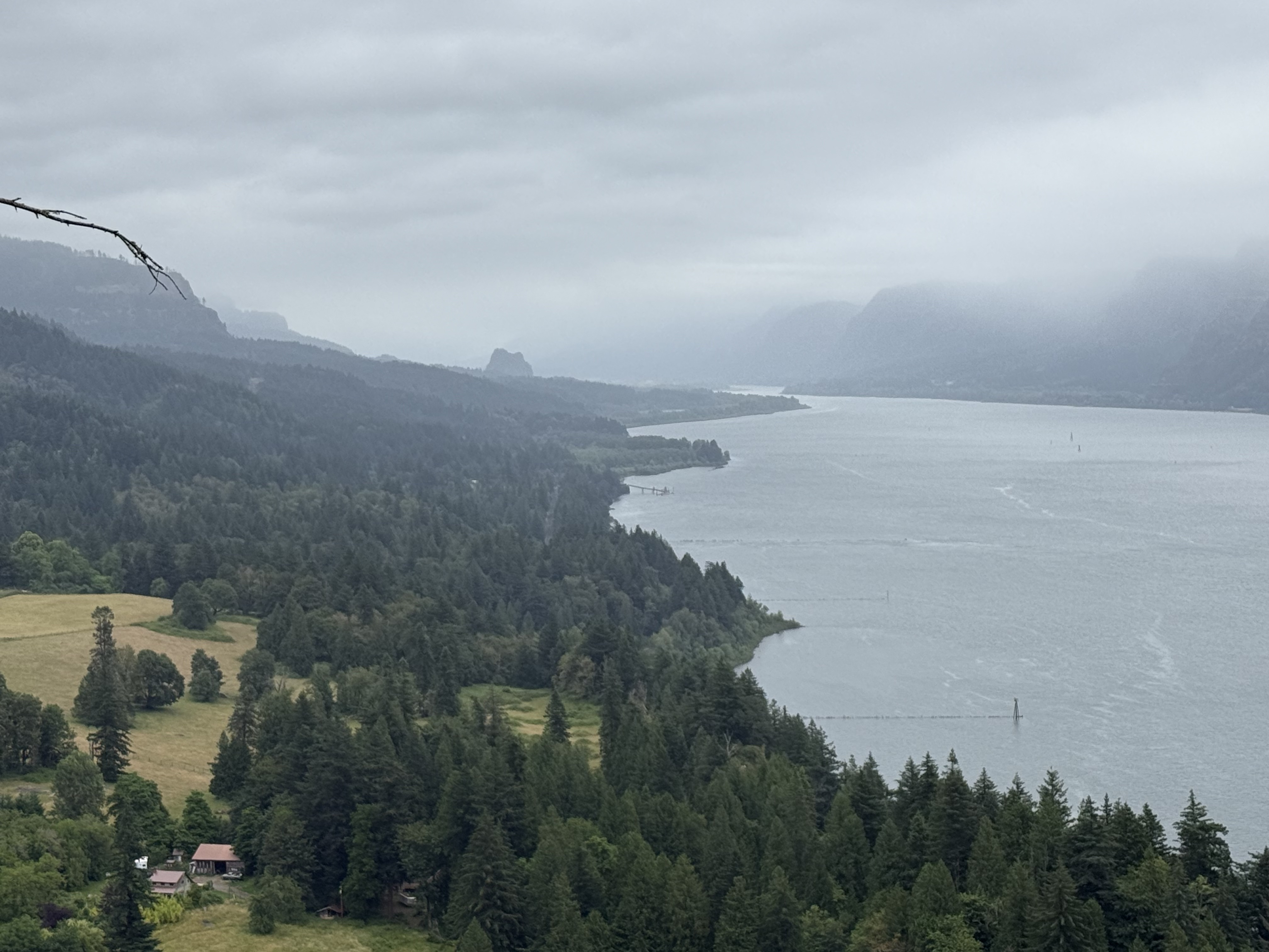
This photograph looks east towards Beacon Rock, which has an interesting origin. It was originally injected into a cinder cone volcano about 60 thousand years ago (Ka). Subsequent, multiple glacial floods eroded the loose material away, leaving the core, which is called a neck. This region was never covered by continental glaciers, although there is evidence of alpine glaciers like those still existing on the high volcanoes (e.g. Rainier or Hood). During numerous advances and retreats of continental glaciers into Canada, large lakes formed and periodically drained catastrophically. These floods, which were as deep as 1000 feet, naturally followed the Columbia River to the Pacific Ocean.
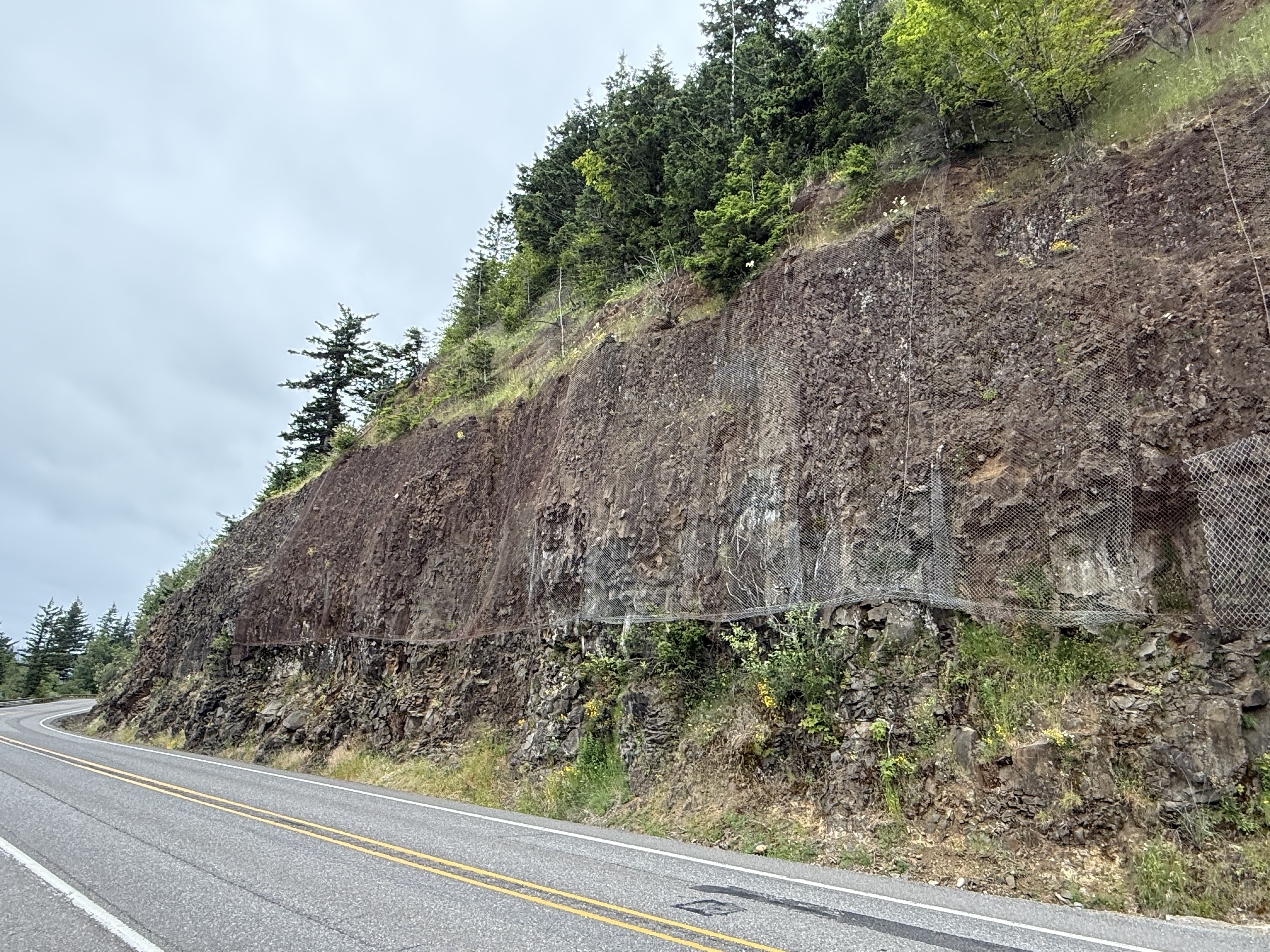
This low road cut reveals a thick layer of volcanic rock (basalt, according to Wikipedia) overlain by volcaniclastic rocks, which are loosely cemented. That’s why the DOT placed netting over the friable layer. These are sedimentary rocks consisting of volcanic ejecta as well as material transported by water.
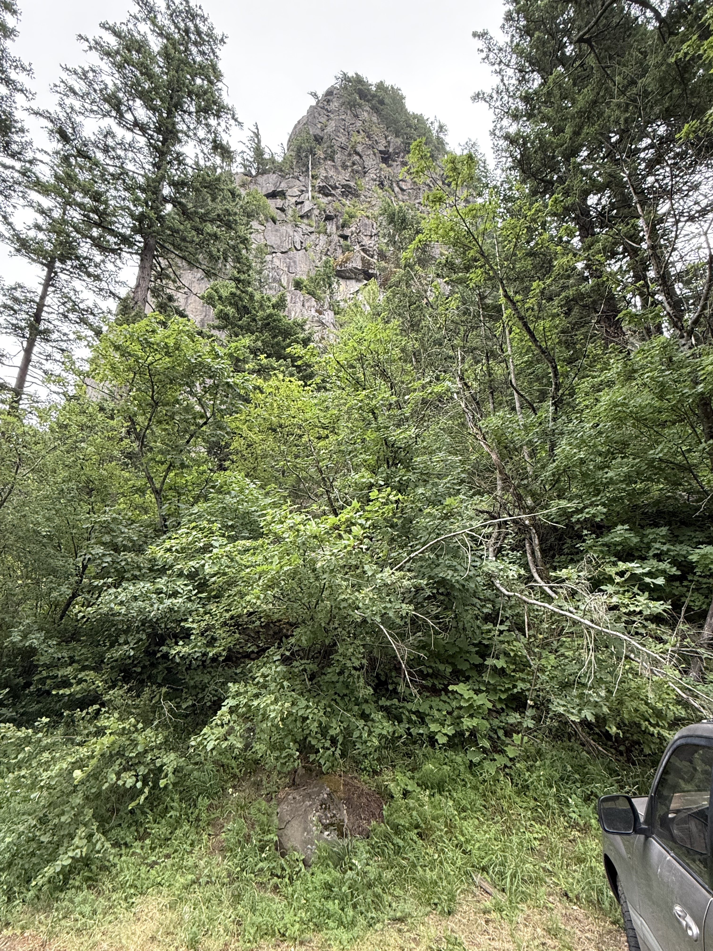
According to Wikipedia, Beacon Rock is 848 feet tall and there is a trail to the top that is popular with hikers. It doesn’t look that high from the bottom, but I’m glad I didn’t trust my first impression and climb it; as stubborn as I am, I would have made it–and wished I hadn’t for the next week. It looks a little pale to be basalt, including the boulder visible at the bottom of the image; in a terrain with continuous volcanism, spanning the gamut from rhyolite to basalt, for 50 Ma, you just can’t tell from surface features. Some basalt is a little lighter colored and some andesite is darker–it’s a spectrum based on mineralogy, not color.
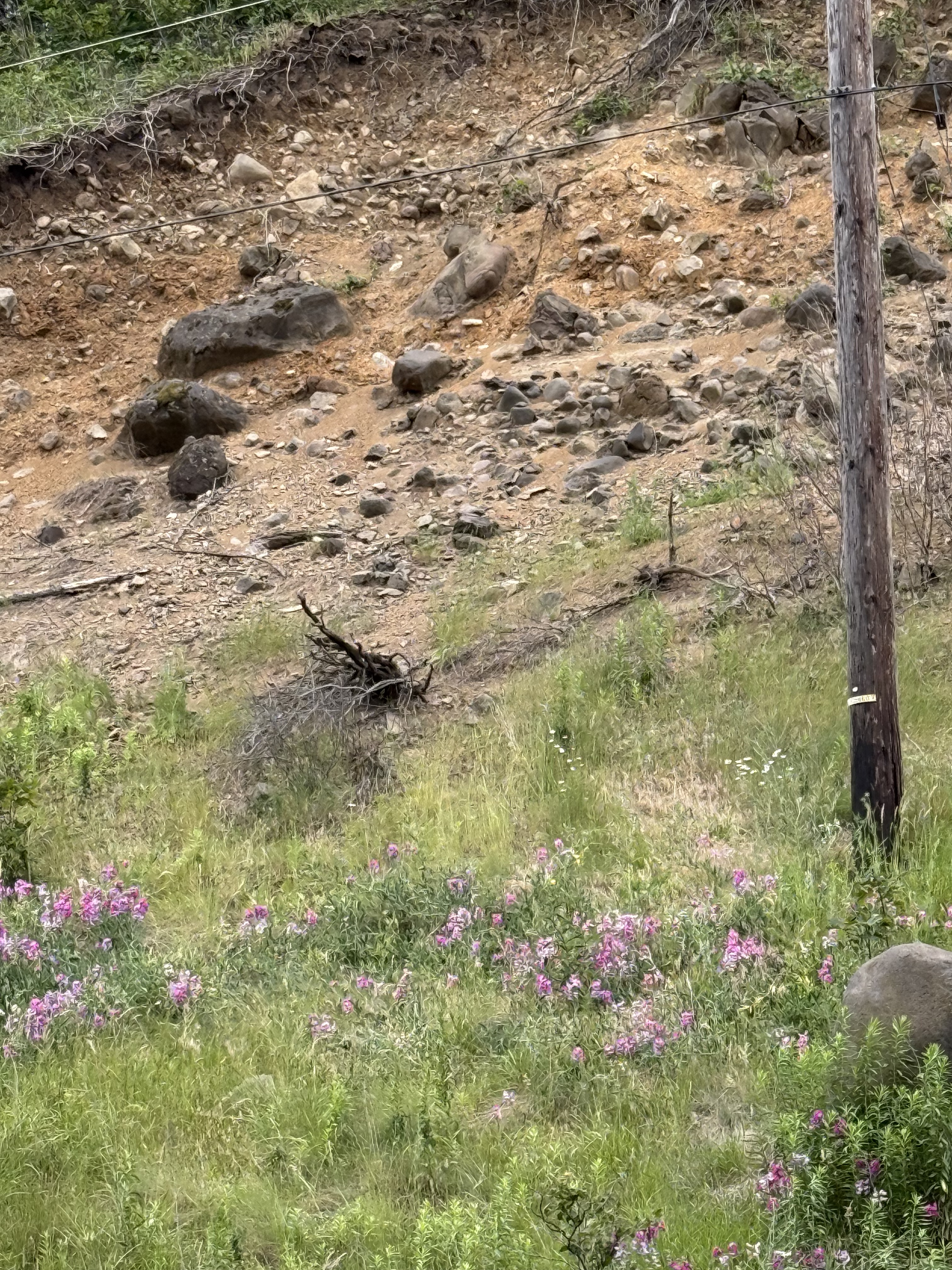
This eroded slope got my attention because it reveals an interesting juxtaposition of an exposed basalt outcrop that is rounded (unlike the earlier exposures we saw) and light-colored boulders of much smaller size (less than three feet). These rocks are too uniformly light in color to be weathering of basalt or andesite. There is some rhyolite (a leucocratic extrusive rock found within the Cascades) in the region, but an alternative explanation is that these are flood deposits from the aforementioned glacial lakes. There are many deposits from these mega floods within the gorge, but I couldn’t (easily) find a map of them. Anyway, this is what I would expect to find in such a sedimentary deposit–mixed rock types that are rounded by transport tens, if not hundreds, of miles during flooding episode. The bedrock would be rounded by collisions with these boulders. If the shoe fits…
2. Lake Bonneville
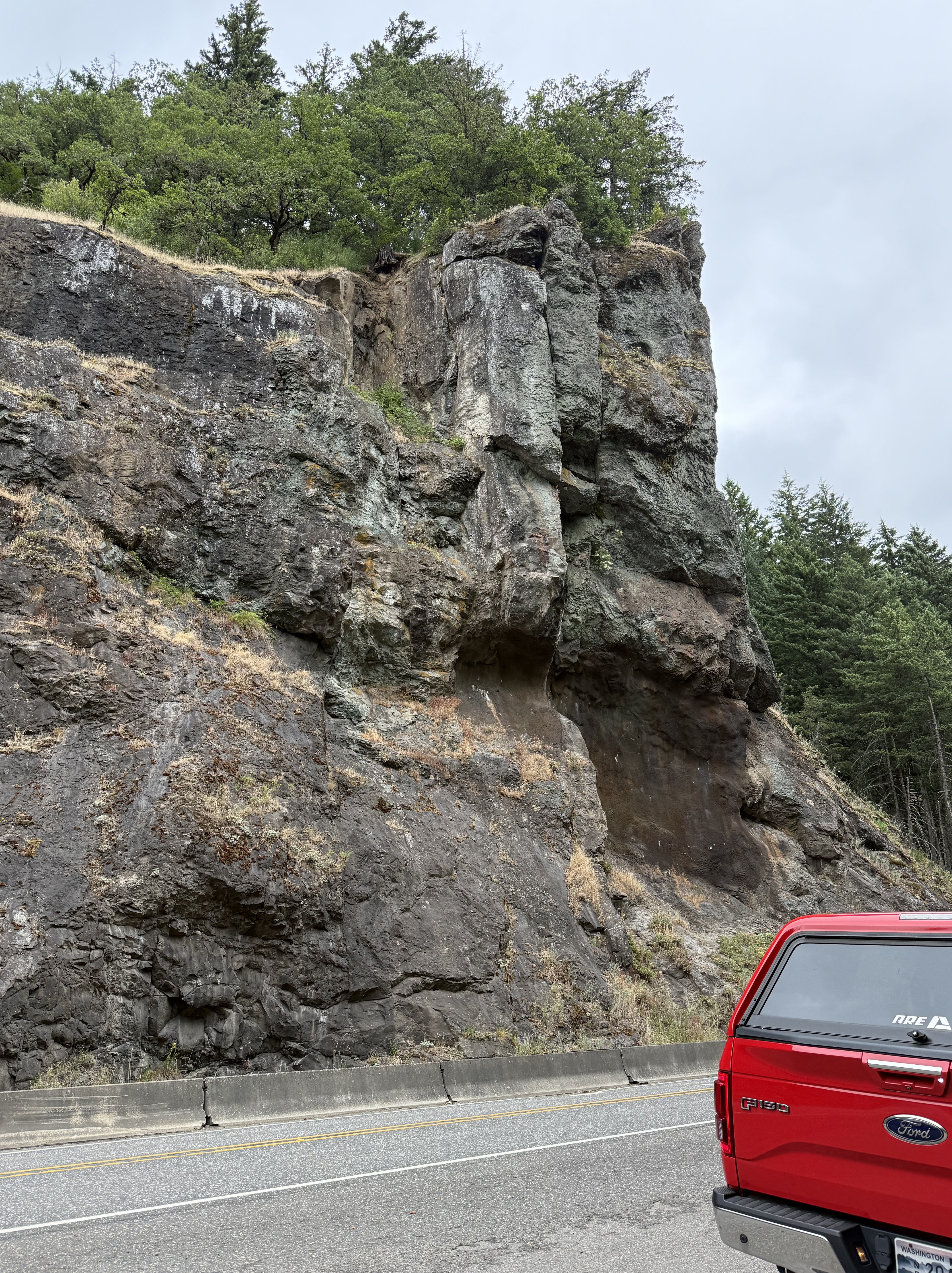
The central part of Columbia River Gorge is characterized by several broad valleys with sediments filling the margins of the canyon. This is a typical exposure from this area. The rock looks like basalt to me; the map (see first plate) shows a mingling of volcanic rocks along the river, which would have been a low point for lava to flow towards. However, this is not a volcaniclastic deposit as we saw before; instead, there are several, heavily weathered (i.e. smooth) flows of lava (3-10 feet thick). The lowest layer seems to be dipping towards the camera as if flowing down a steep slope. Maybe…
3. Hood River
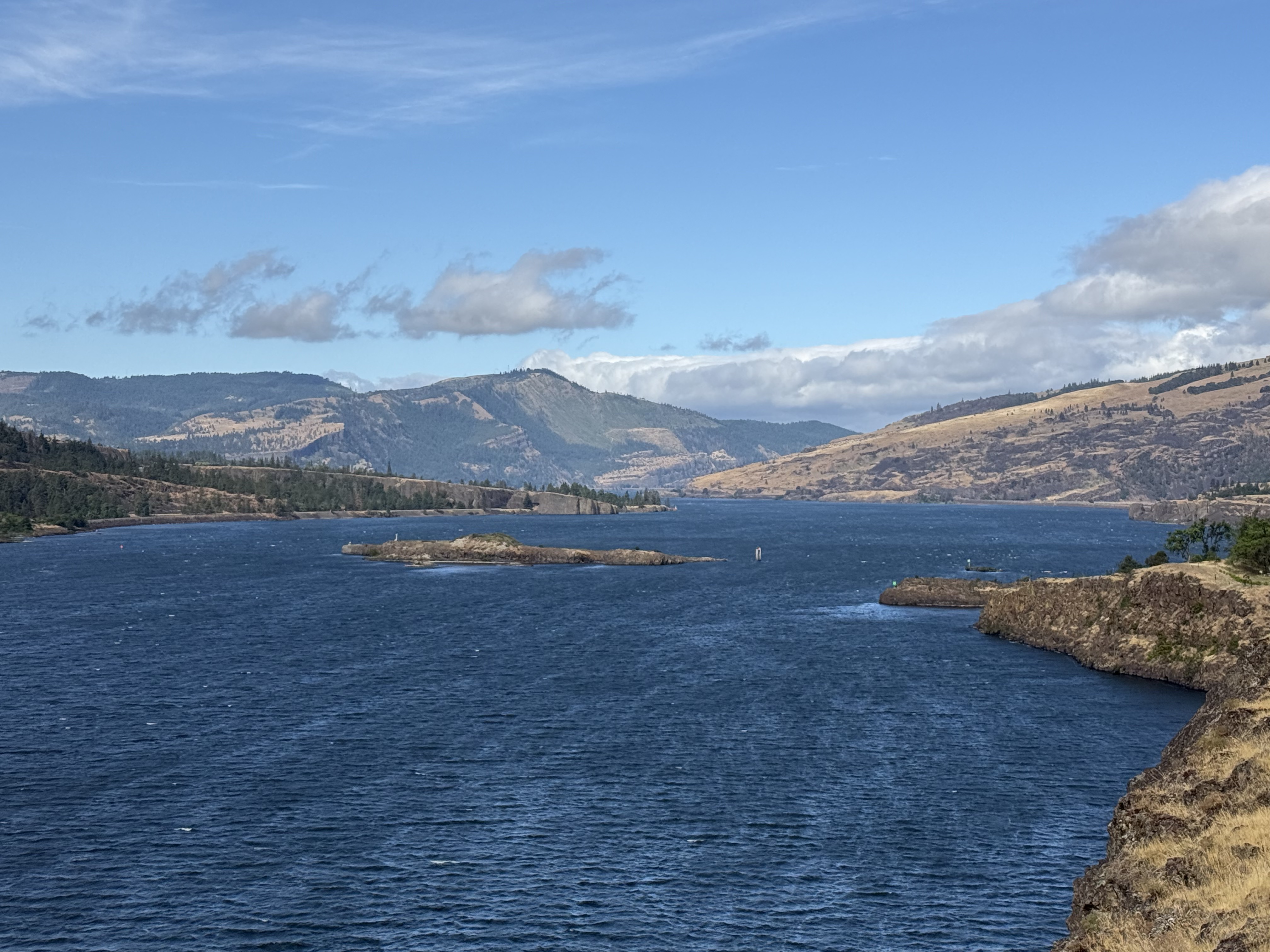
This location is close to the eastern entrance to Columbia River Gorge, where flood basalts erupted from multiple fissures in the crust. In other words, there are no nearby volcanoes and steep slopes; thus, the basalt flowed over a relatively flat landscape, forming rolling hills. This photo reveals basalt flows that gently slope to the left, as seen in the middle-right and background of the image. These massive flows partially blocked the river many times–long before glaciers dominated the landscape. The island in the center of the channel is a remnant of one. I haven’t heard of any glacial lakes in this area, however, so the blockage must have been partial–these thick sequences of basalt didn’t occur at one time, but over millions of years, giving the ancient Columbia River time to erode passages through them.
4. Columbia Hills
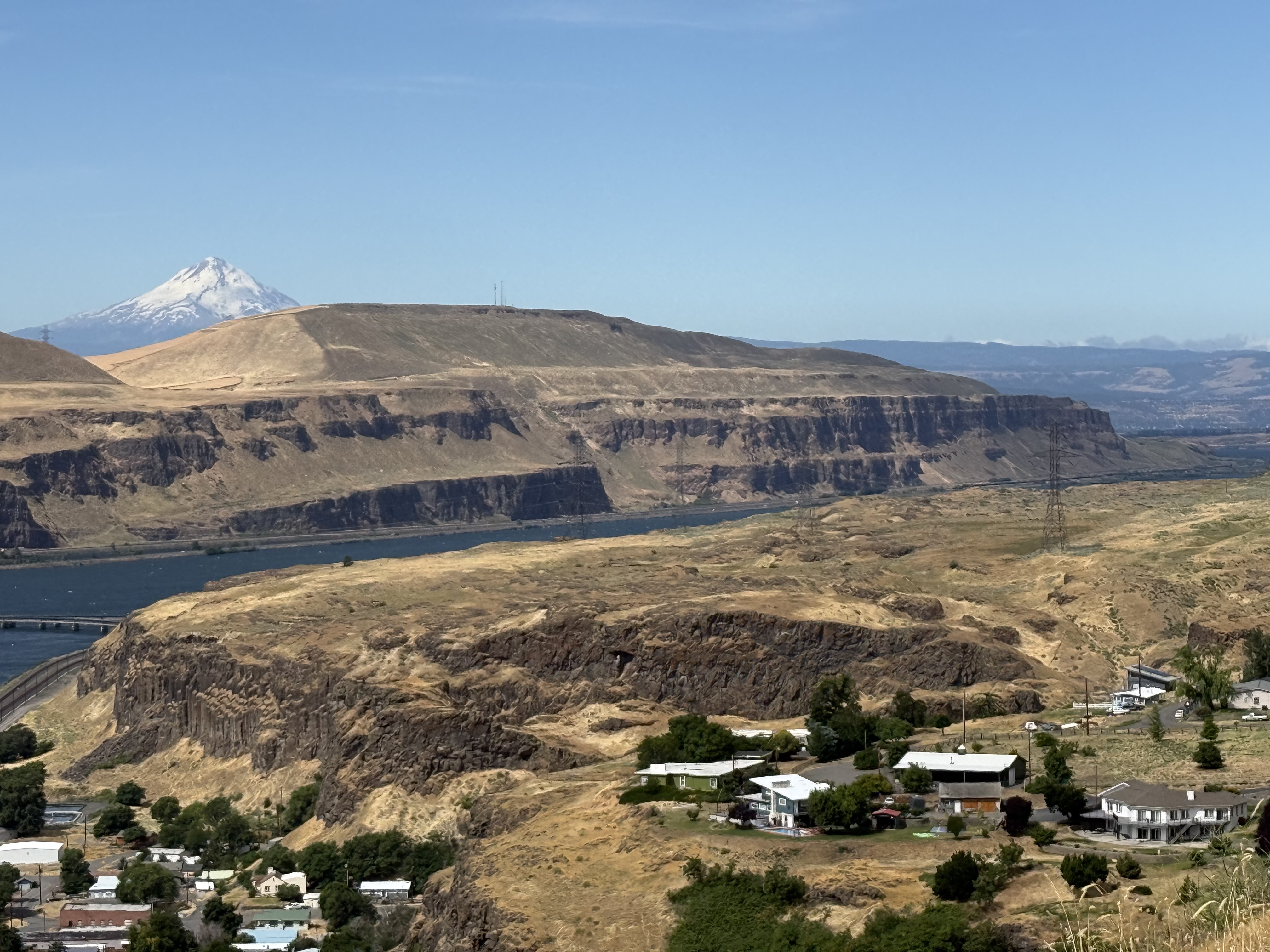
Columbia Hills is the eastern end of the gorge, where the Columbia River ends its meandering path to the Pacific. The rocks are basalts erupted from many fissures between 17 and 5 Ma. According to the latest interpretation, these rocks were ejected from the same mantle plume that now underlies the Yellowstone caldera in NW Wyoming. They have nothing to do with subduction or the Cascades volcanic belt, even though the much younger Mt. Hood (in the background) towers over them.
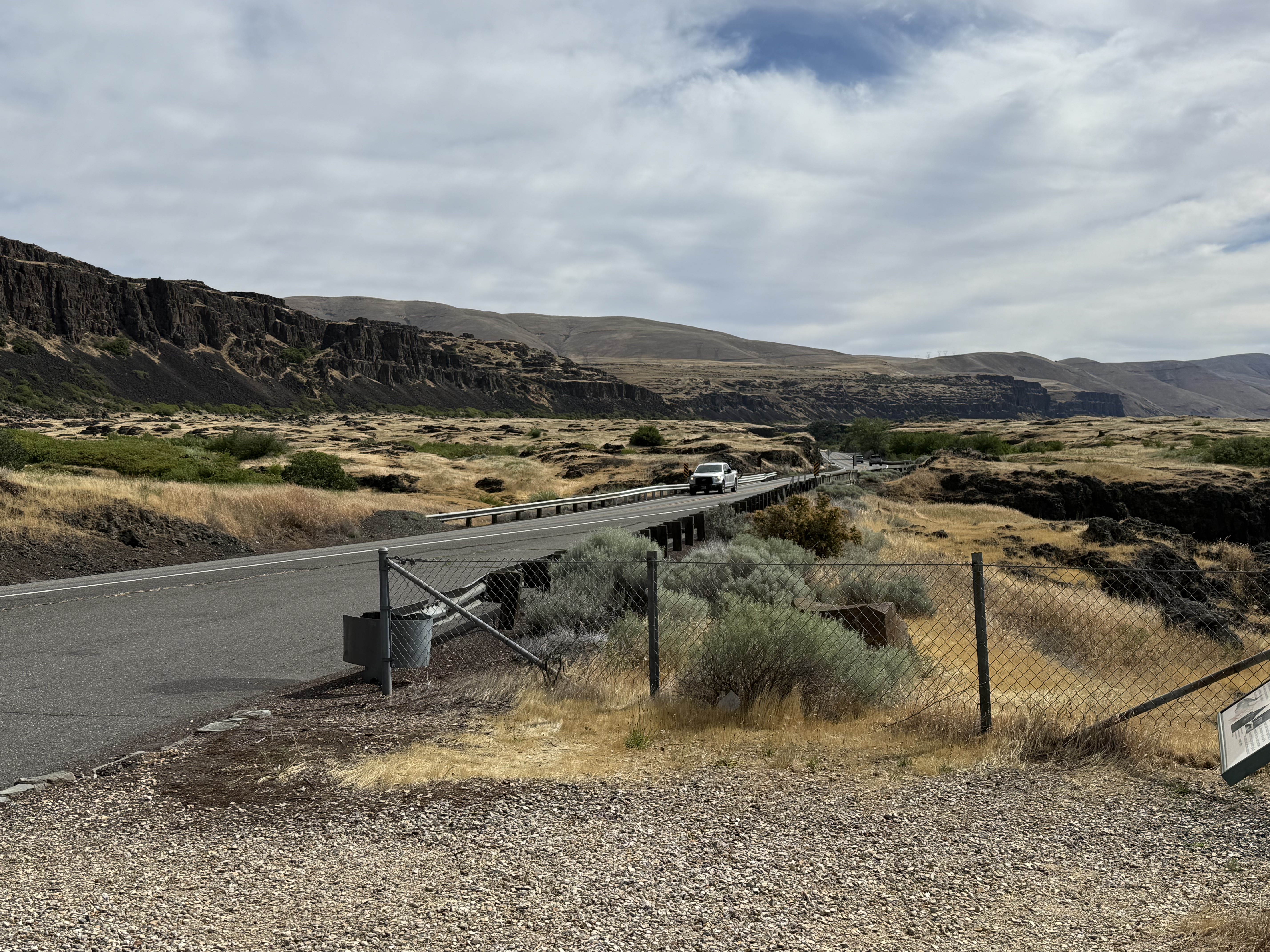
We are now in Eastern Washington, a climatic zone with completely different characteristics than west of the Cascades. This volcanic range creates a rain shadow and resulting precipitation is less than 20 inches here; and it shows in the scrubland ecosystem. These extensive basalt flows are no longer covered by younger andesites from the high Cascades (the young volcanoes like Mt. Hood).
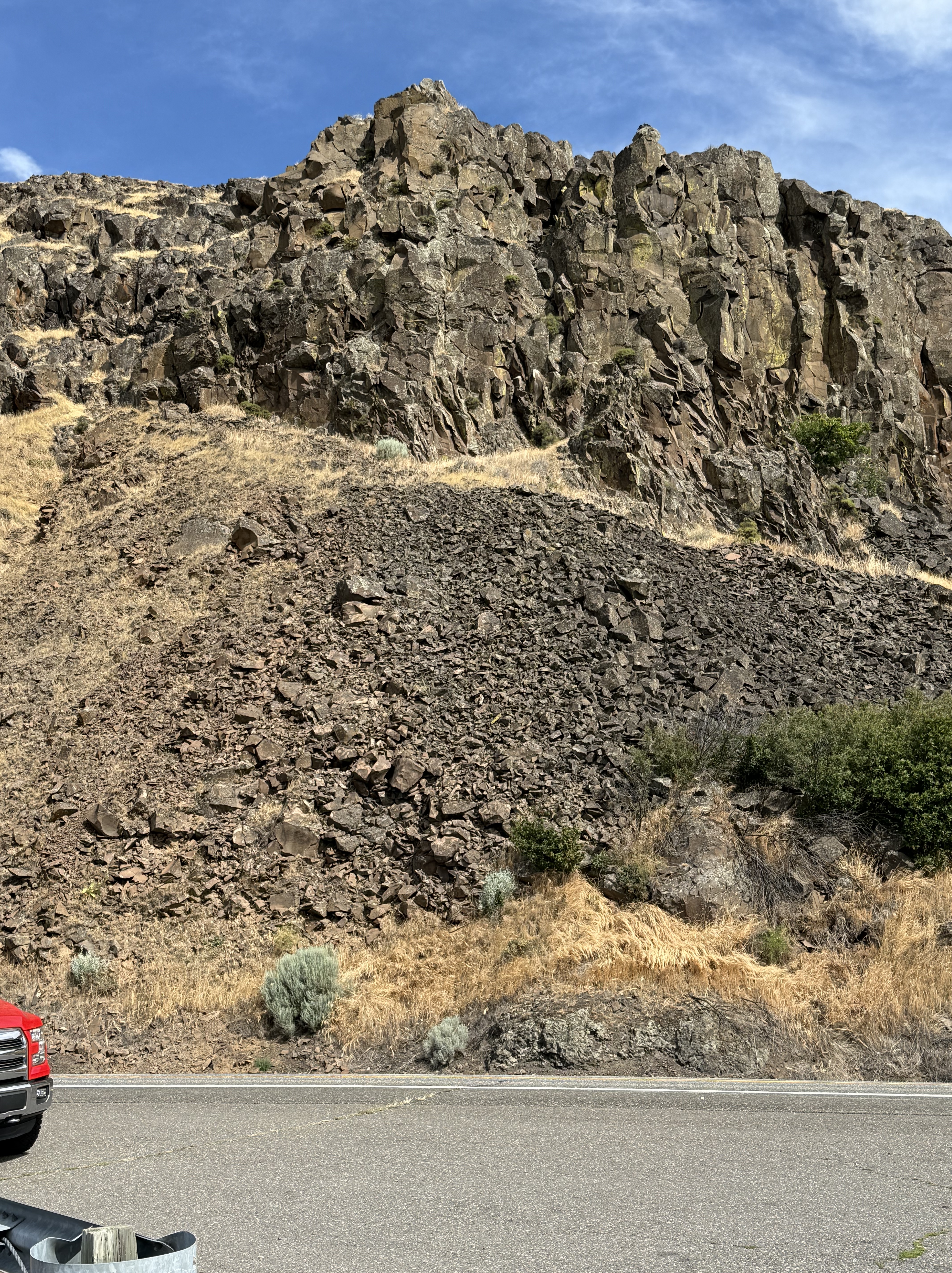
The volcanic layers are thin and extensive (see the map at the beginning of this post). They include columnar joints as I described in a previous post. The textures seen in this photo reveal the variability of lava coming from a single source; for example, individual, blocky layers cap this exposure whereas the rock presents a ropy texture lower down (middle-right of the photo).
Summary
The Pacific Northwest (PNW) didn’t exist before the Tertiary period, which began at 65.5 Ma. However, Pangea began to split apart at about 200 Ma, which should have created plate collisions here because the N American plate would have necessarily overrun the plates comprising the ancient Pacific Ocean. The west coast of N America was located approximately at the WA-ID boundary. So why don’t we see Jurassic and Cretaceous volcanoes and their associated volcanic deposits in the PNW?
This question has perplexed geologists for decades. After carefully collecting data from far and wide, a still-controversial theory has evolved: For more than 100 million years, this tectonic collision was accommodated by transform faults (e.g. the San Andreas fault system in California). A tectonic plate collision is not a conveyer belt as shown in schematic representations.
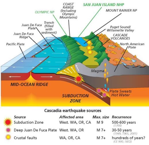
This schematic profile of the PNW shows several transform faults, which misalign the Pacific mid-ocean ridge (note the misalignment of the dark, Juan De Fuca Ridge. This tectonic scenario didn’t develop until those transform faults, which were not perpendicular to the mid-ocean ridge, could no longer accommodate the displacement of these microplates with N America. That apparently happened about sixty-million years ago. Some of these slivers of volcanic terrain have probably become exotic terranes that are now part of Alaska.
That is probably why we didn’t encounter any Mesozoic ((251-65.5 Ma) volcanic rocks within the Columbia River Gorge. Instead, we discovered a Tertiary volcanic landscape dominated by andesite/basalt lava flows, preserved because the transform faults had stopped absorbing the collisional, crustal tectonics. A real subduction zone emerged from this chaos and created the Cacades.
Superimposed on this was the unexpected (tectonically speaking) effusion of basalts as the westward-propagating N American plate rode over a mantle plume, which buried the evidence for this slipping history beneath miles of volcanic rocks. I can’t say anything else about this because I’m not actively researching the PNW’s geologic history.
My last word is that I can’t wait to see what new discoveries the PNW holds for me.
The Oregon Zoo in Portland
We drove a couple of hours to visit The Oregon Zoo. I don’t like zoos much, lately, because they house imprisoned animals, but I am aware that they do a lot of good work towards saving endangered animals from extinction. So I was ambivalent about this trip; nevertheless, I was pleasantly surprised at the quality of this particular zoo.
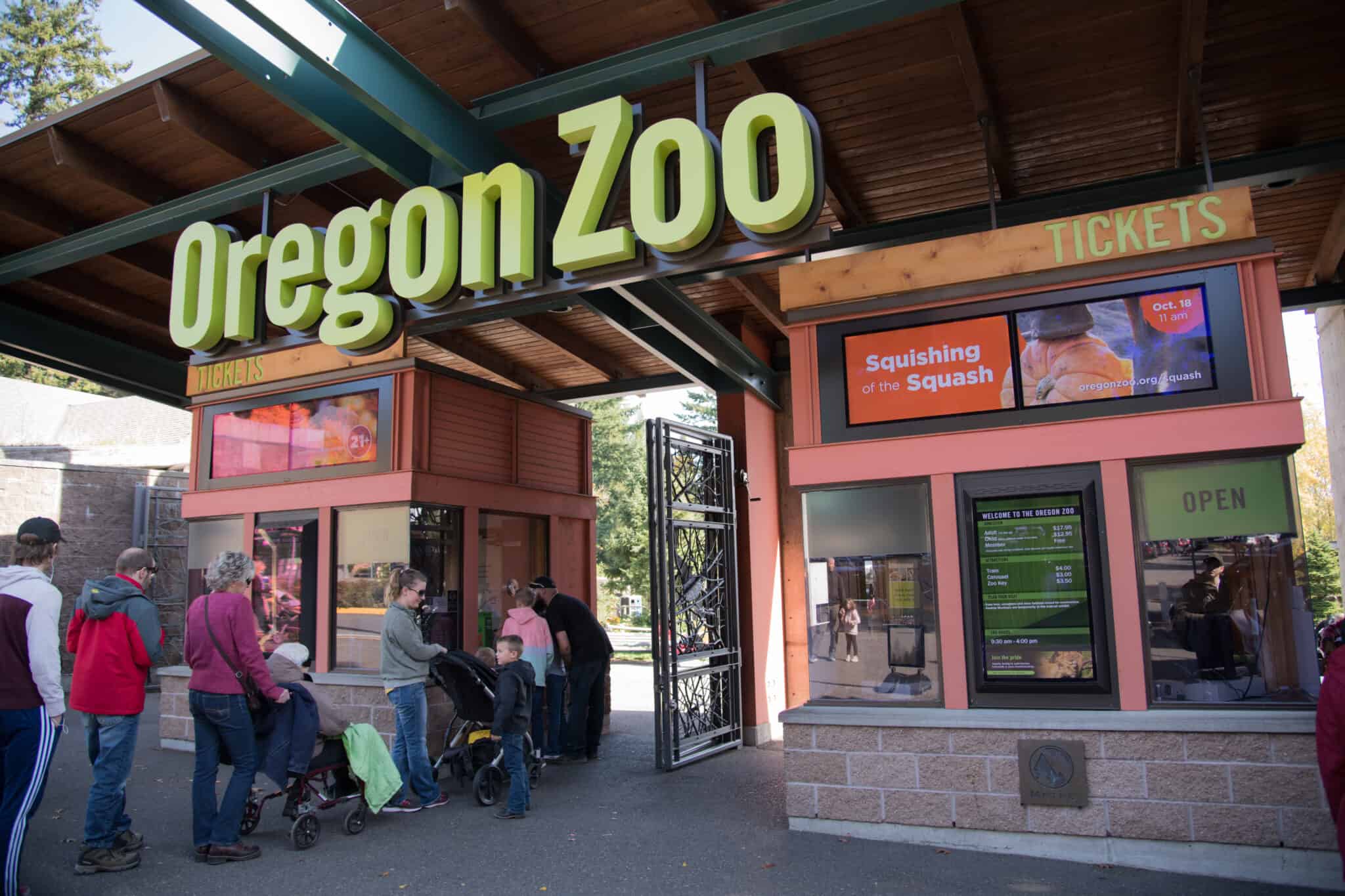
I bought a ticket for the 11:00 a.m. window from a kiosk, which printed my bar code–all without a hitch and no line.
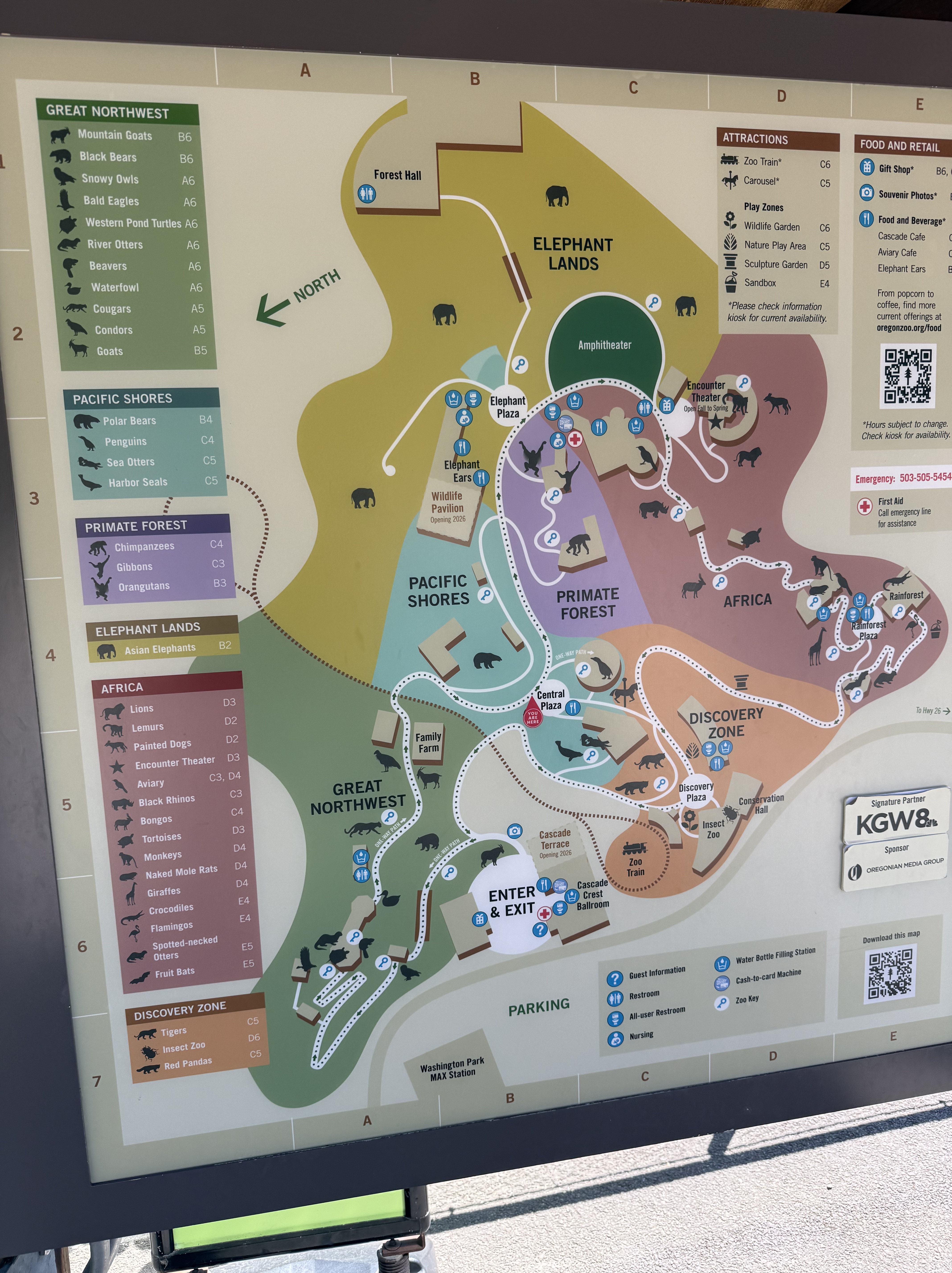
It was a beautiful day, so the parking lot was full; but we parked at the overflow parking lot and rode a free school bus for a quick trip to the entrance. It was better than parking in the regular lots. The arrows show the one-directional flow of people that is encouraged by the layout. It’s about two miles and takes 2-3 hours.
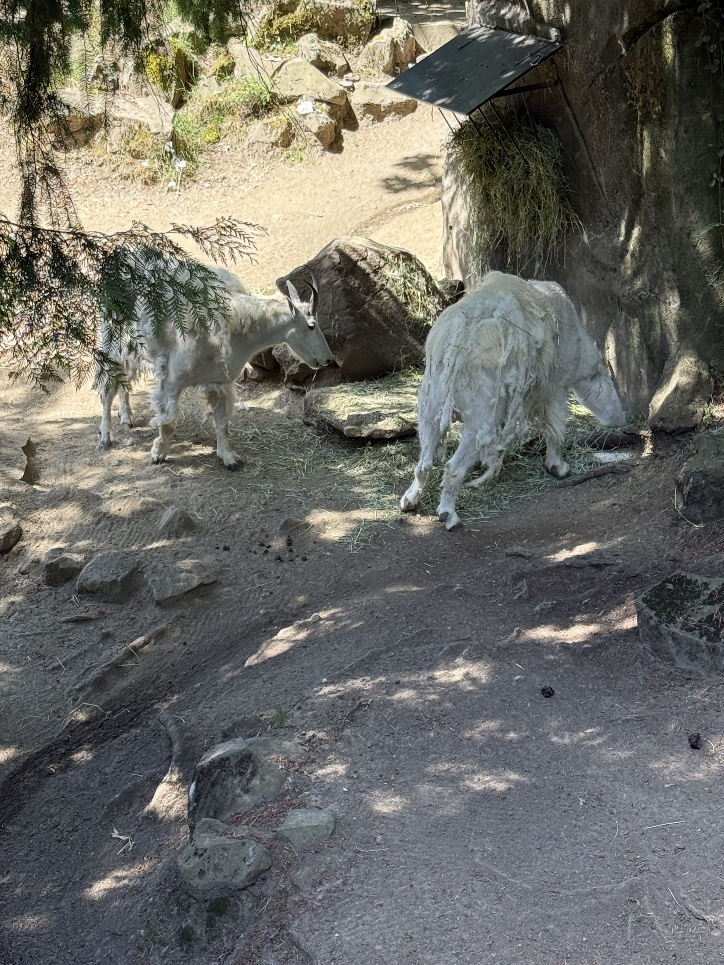
There is a mountain goat exhibit at the entrance with artificial rock piles, but its inhabitants were having lunch. They look pretty ragged, I guess because they’re losing their winter hair (or is it fur?).
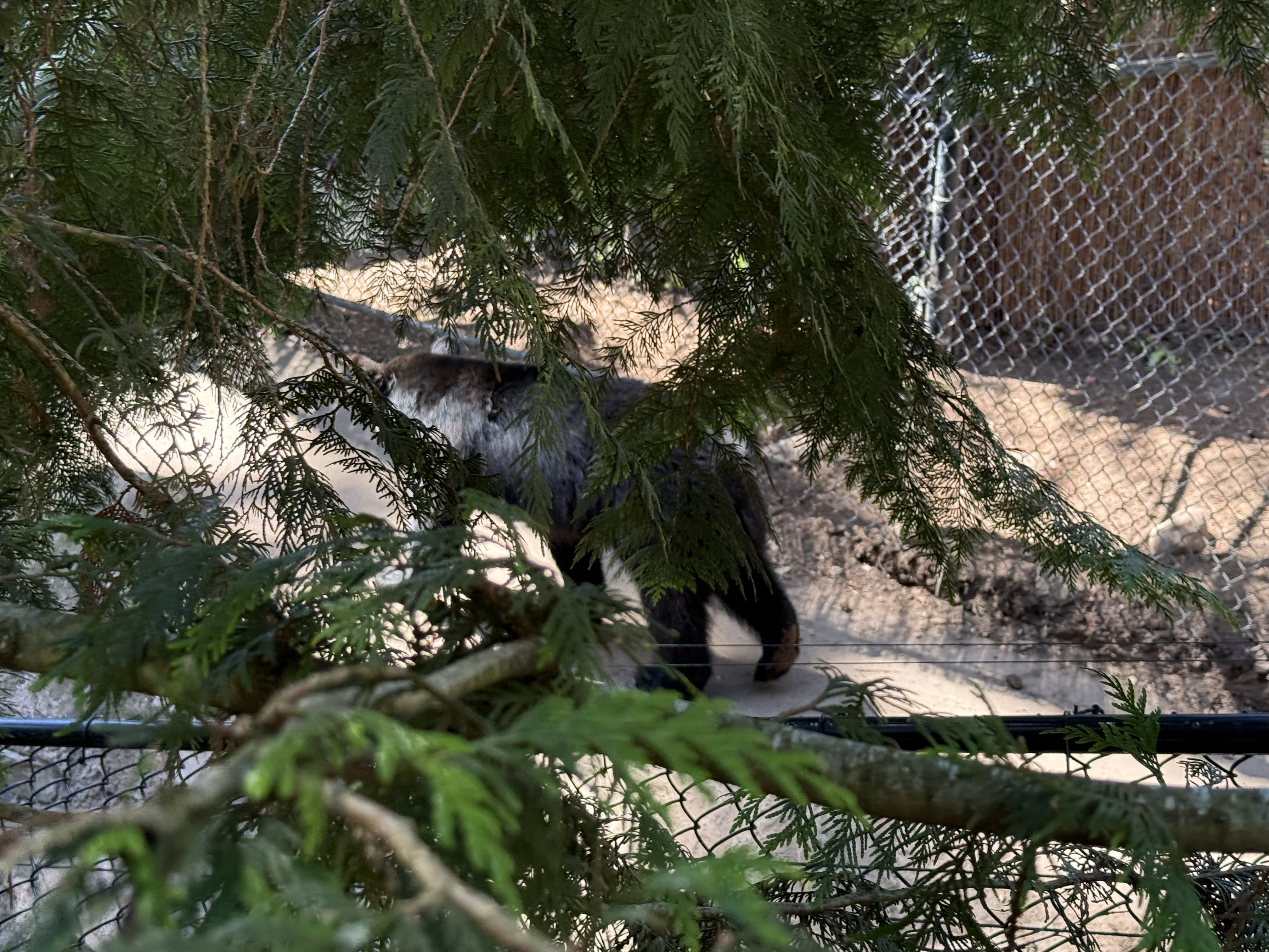
The Pacific Northwest was a grouping of regional species, including three black bears. I missed a lot of opportunities to photograph them interacting because I was confused by their enclosure, which was very large. It covers the side of a hill and includes several personal areas in addition to available shared “dens” where they could get some privacy from prying eyes.
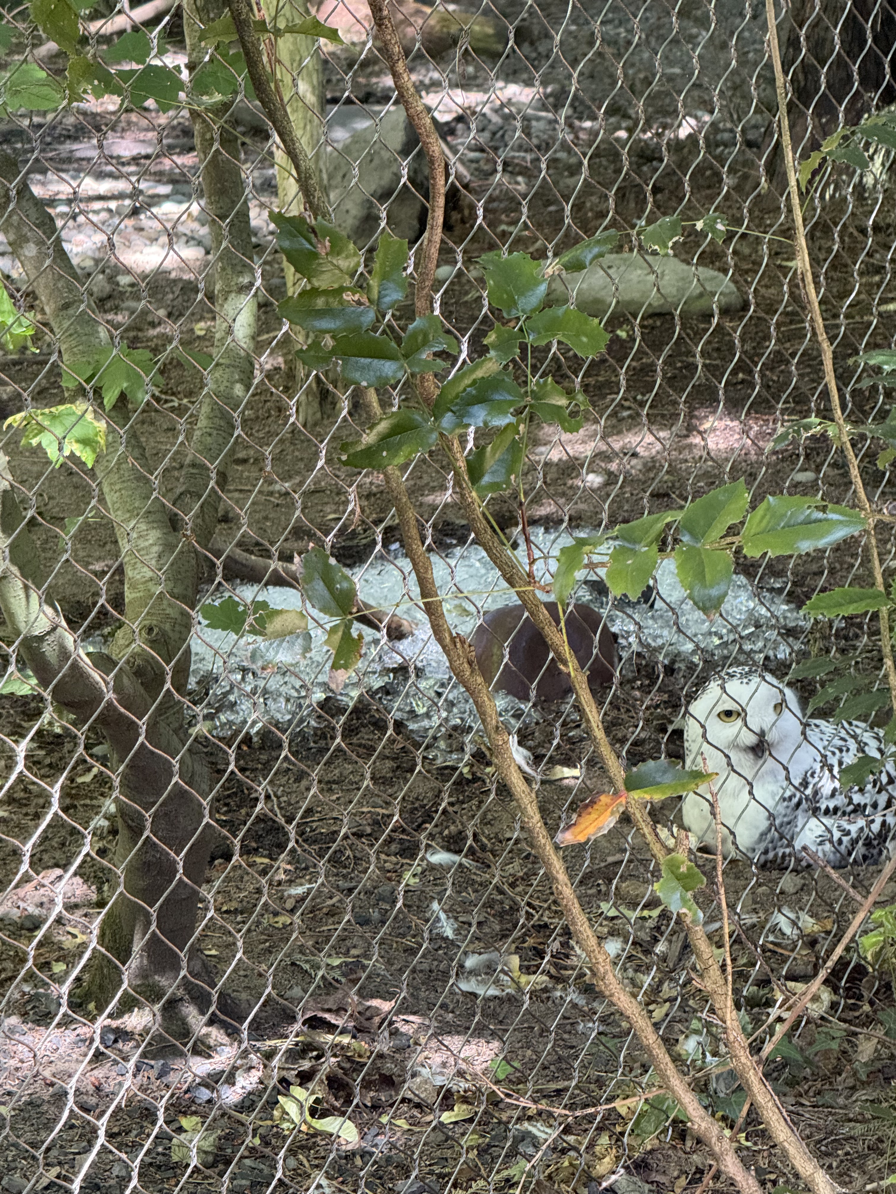
The owls seemed to enjoy sitting on the ground, even on a pile of ice, even though they had plenty of branches to hang out on.
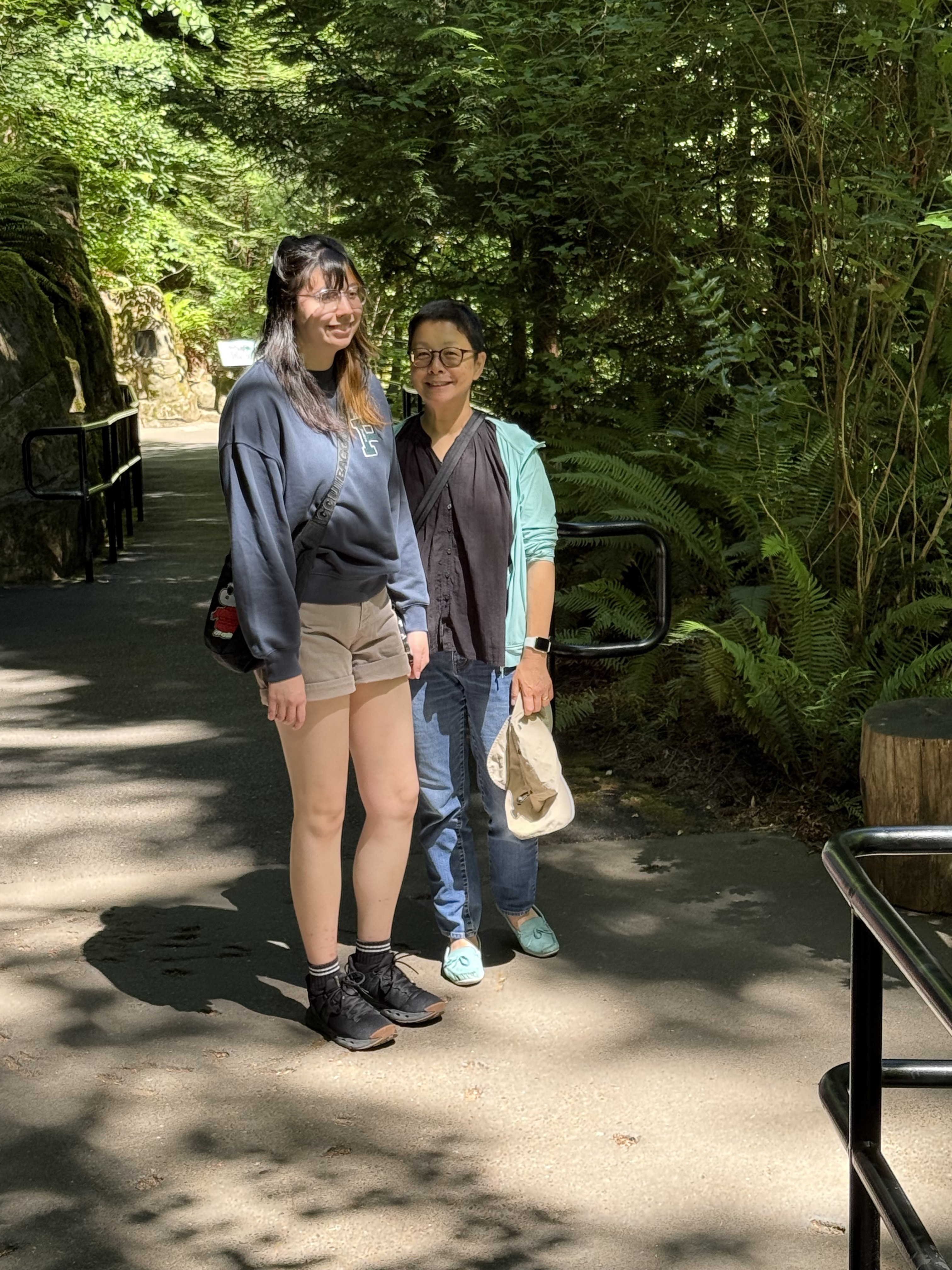
There was plenty of shade available for the inhabitants as well as the visitors.
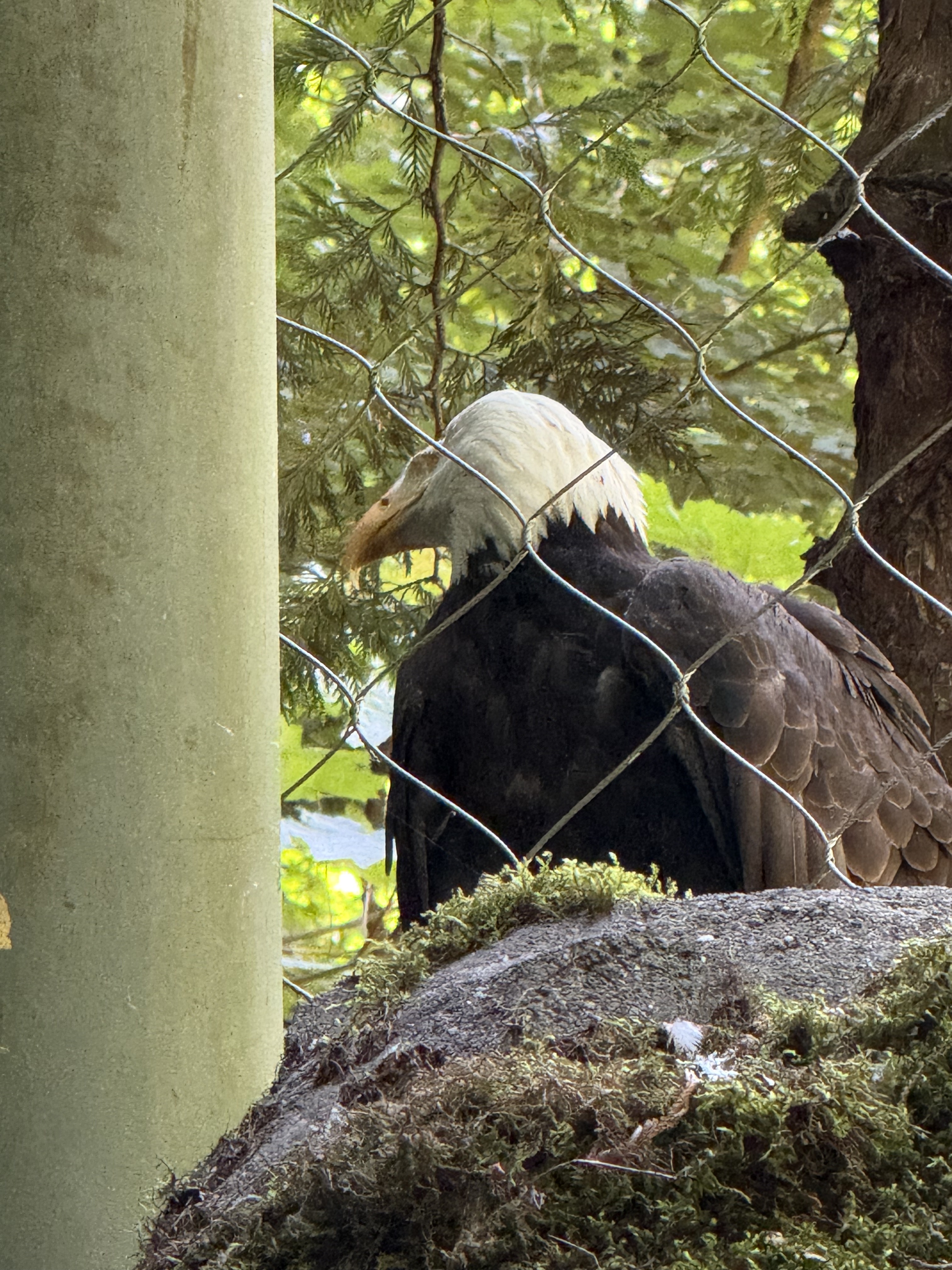
The bald eagles were rescued and are unable to fly properly, so I guess this is an “assisted living” facility.
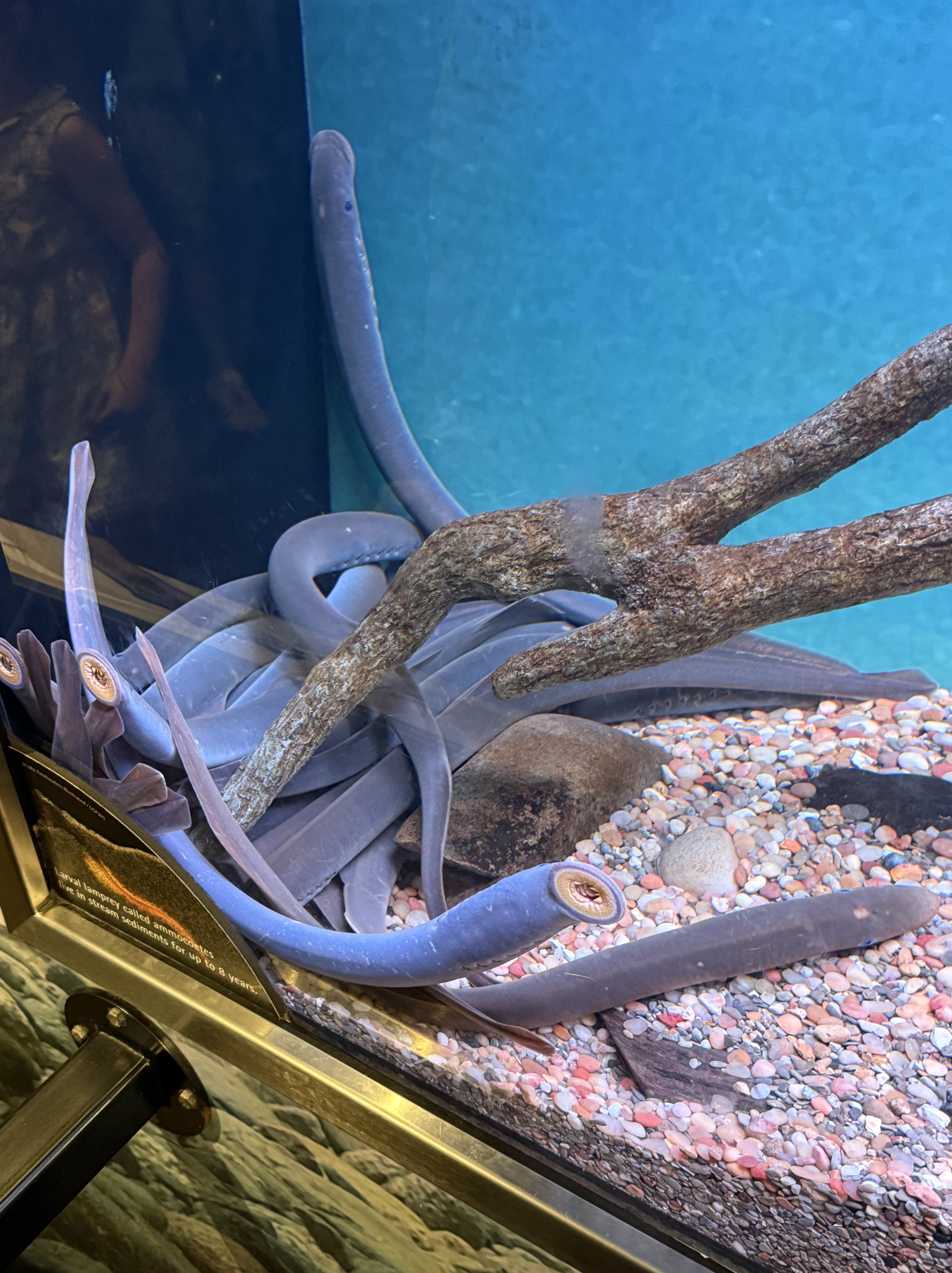
The lampreys were lying together in one end of a smallish tank. I guess it’s difficult to know whether they care about their surrounding or not. This is one strange fish.
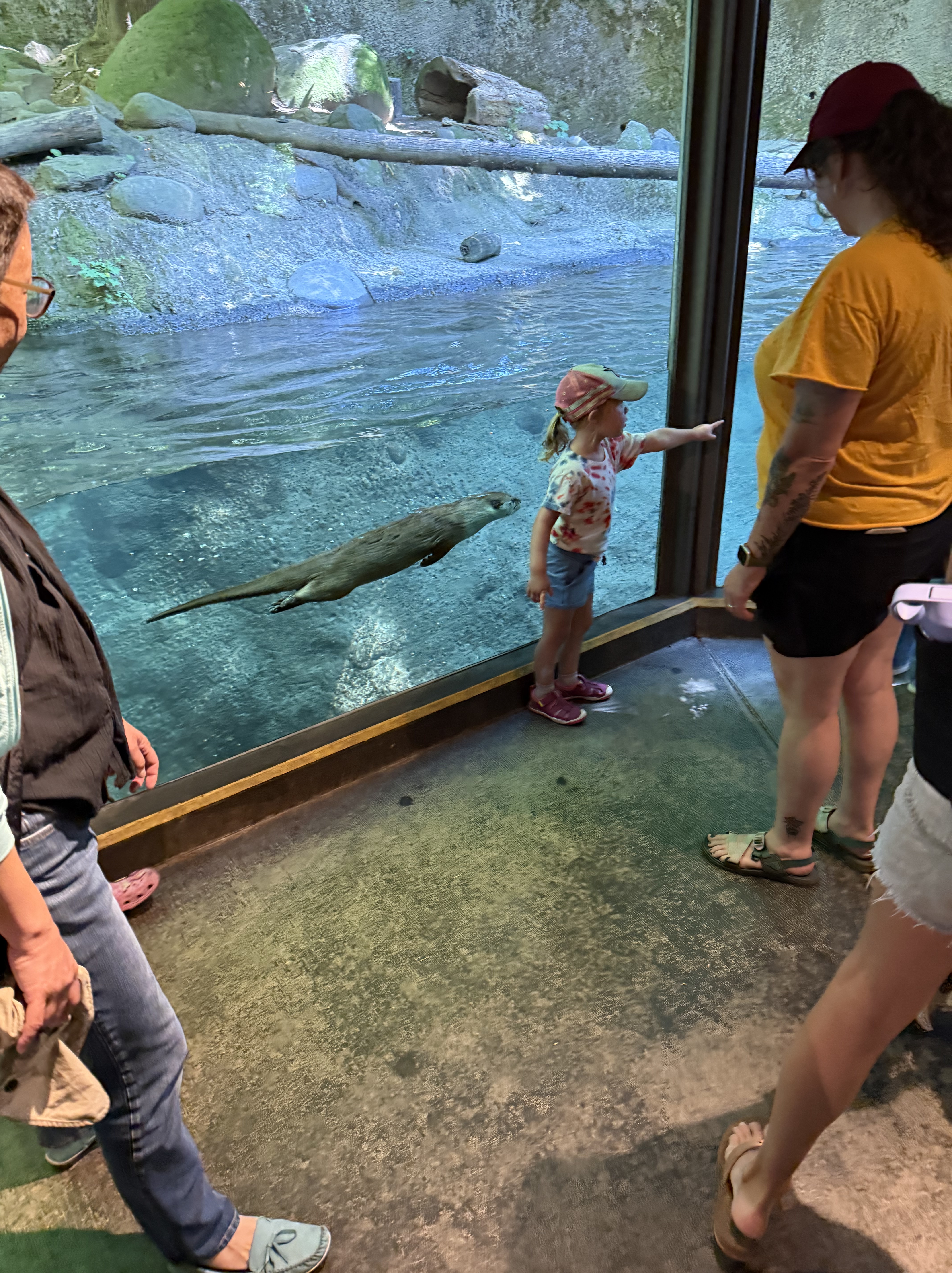
I never like to see free-wheeling animals like otters in captivity, even if they have cooled water to swim in. And I didn’t see any fish swimming around for them to catch. The phrase “feeding time” really bothers me, but I suppose we primates need to see the animals we share the world with in person to recognize them as being living beings. No one knows what an otter thinks…
This video shows a couple of otters cavorting in a viewing room. They had private places available, so I guess they don’t care if we reading monkeys watch them; but I wish that woman hadn’t kept her fat head so close to the window.
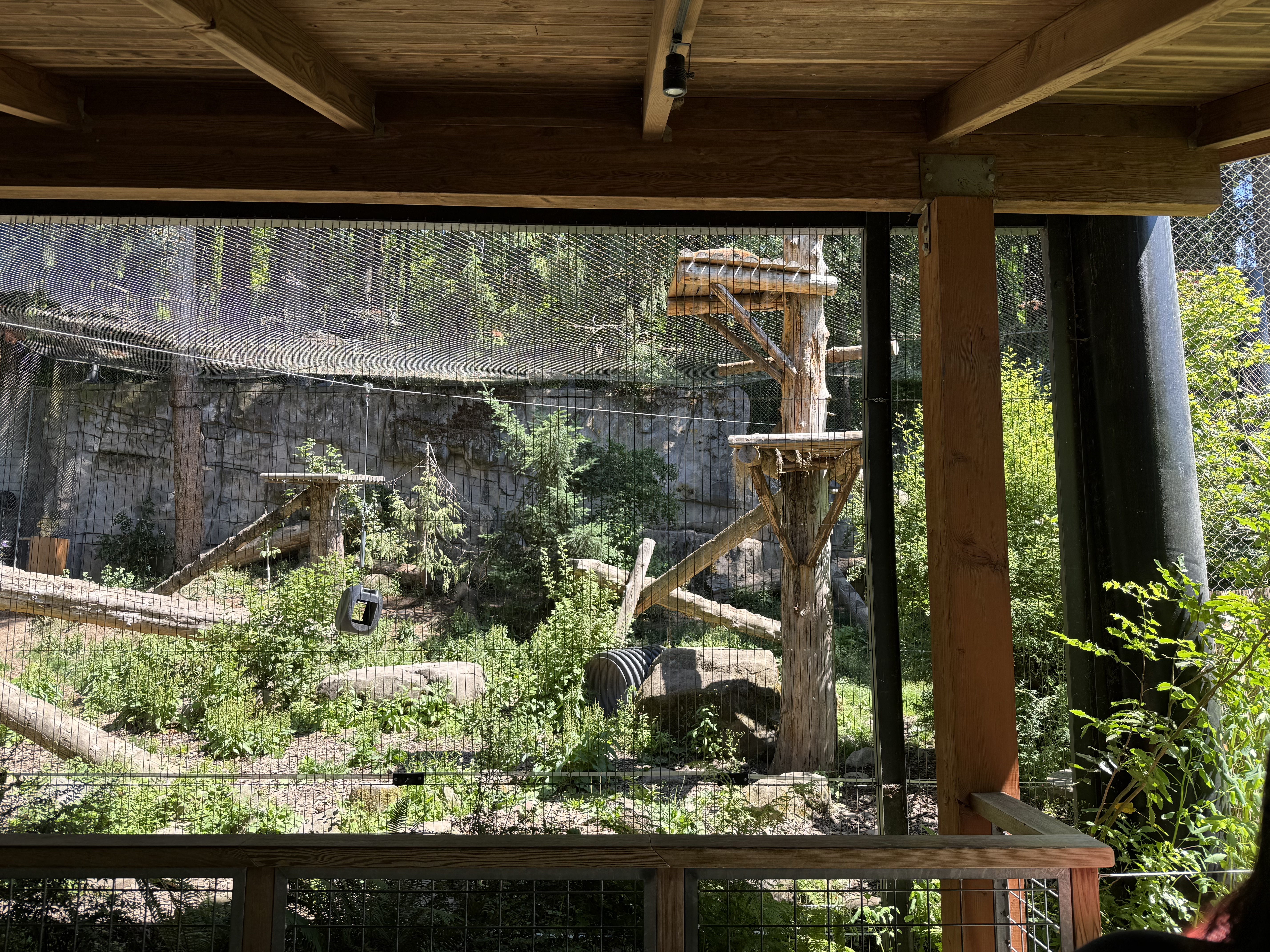
The mountain lion/cougar/etc is on the highest platform taking a nap, so I guess they’ve gotten used to life in a cage with a net ceiling. These big cats, native to all of N. America, aren’t endangered, but, obviously, we can’t see them this close. They are pretty dangerous.
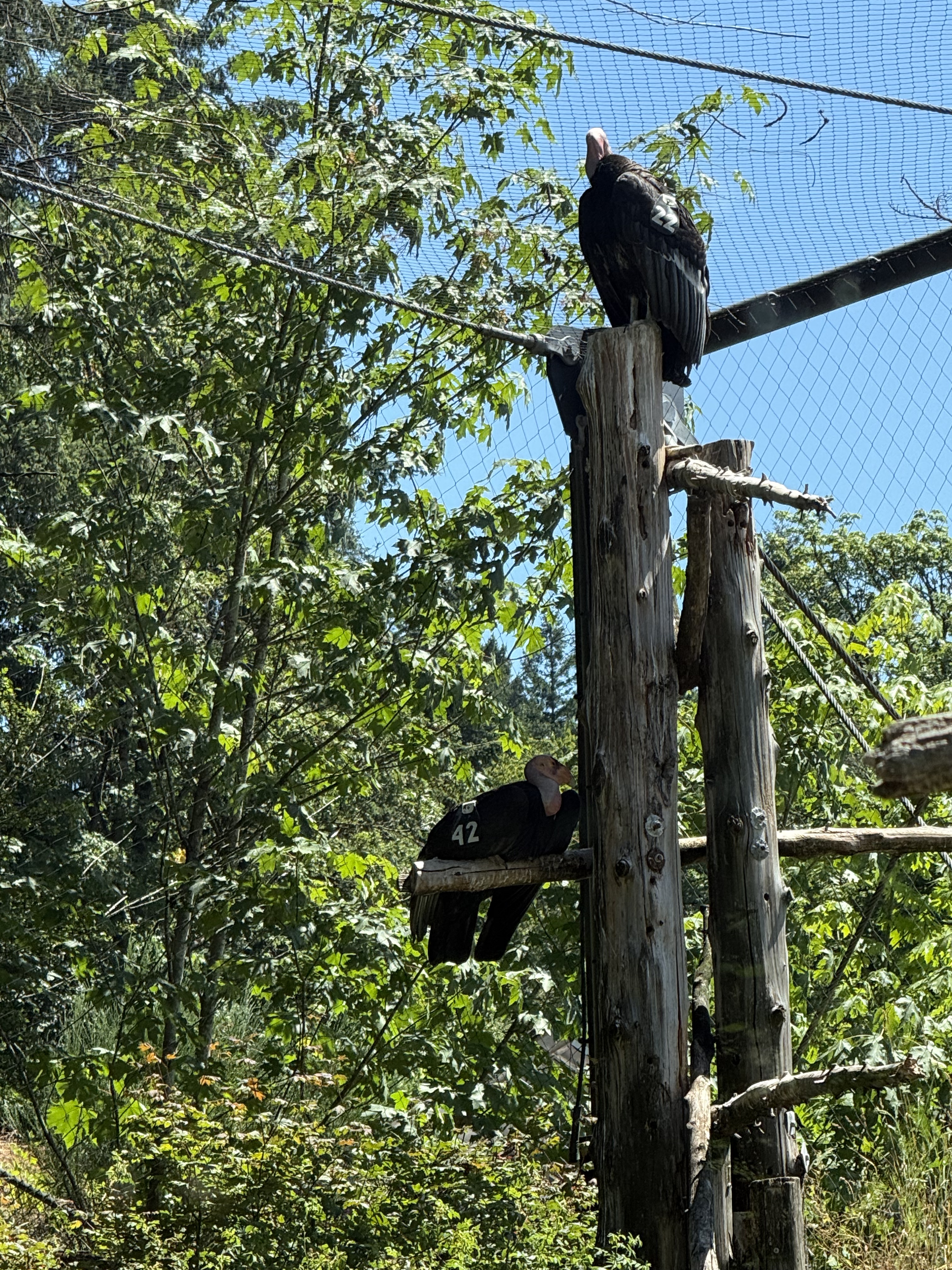
I was feeling pretty bleak about the whole zoo concept until I saw the condors. They were actually EXTINCT in the wild until the efforts of zoos reintroduced them; now they are coming back, each one wearing a team number and a radio transmitter. I guess this is their “halfway house” before winning their freedom.
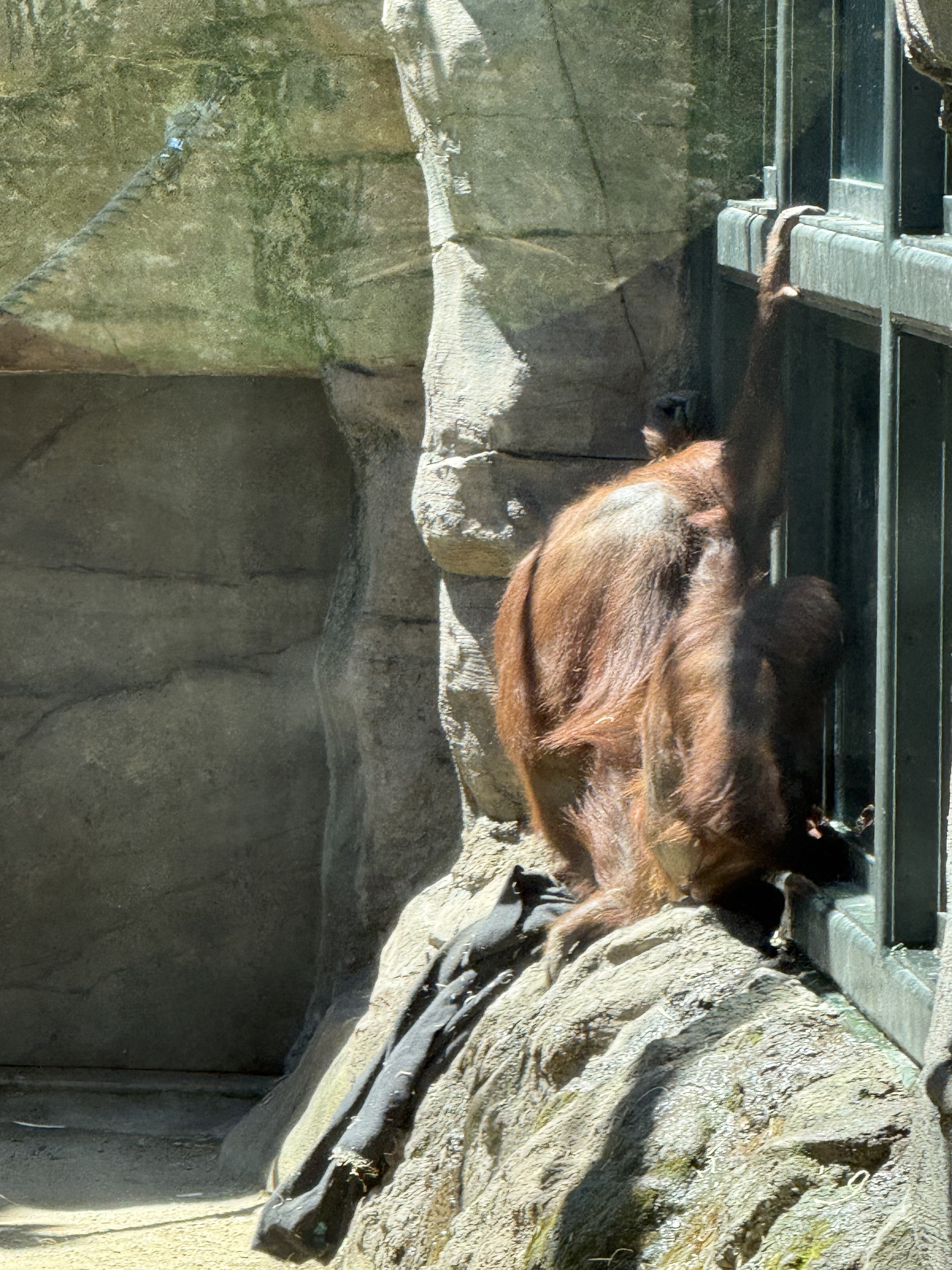
The primates have a series of habitats. Unlike some of the other prisoners, they take an interest in their captors’ antics; these orangutans are watching their human helper clean their bedding (airing and replacing straw). The looking glass works both ways…
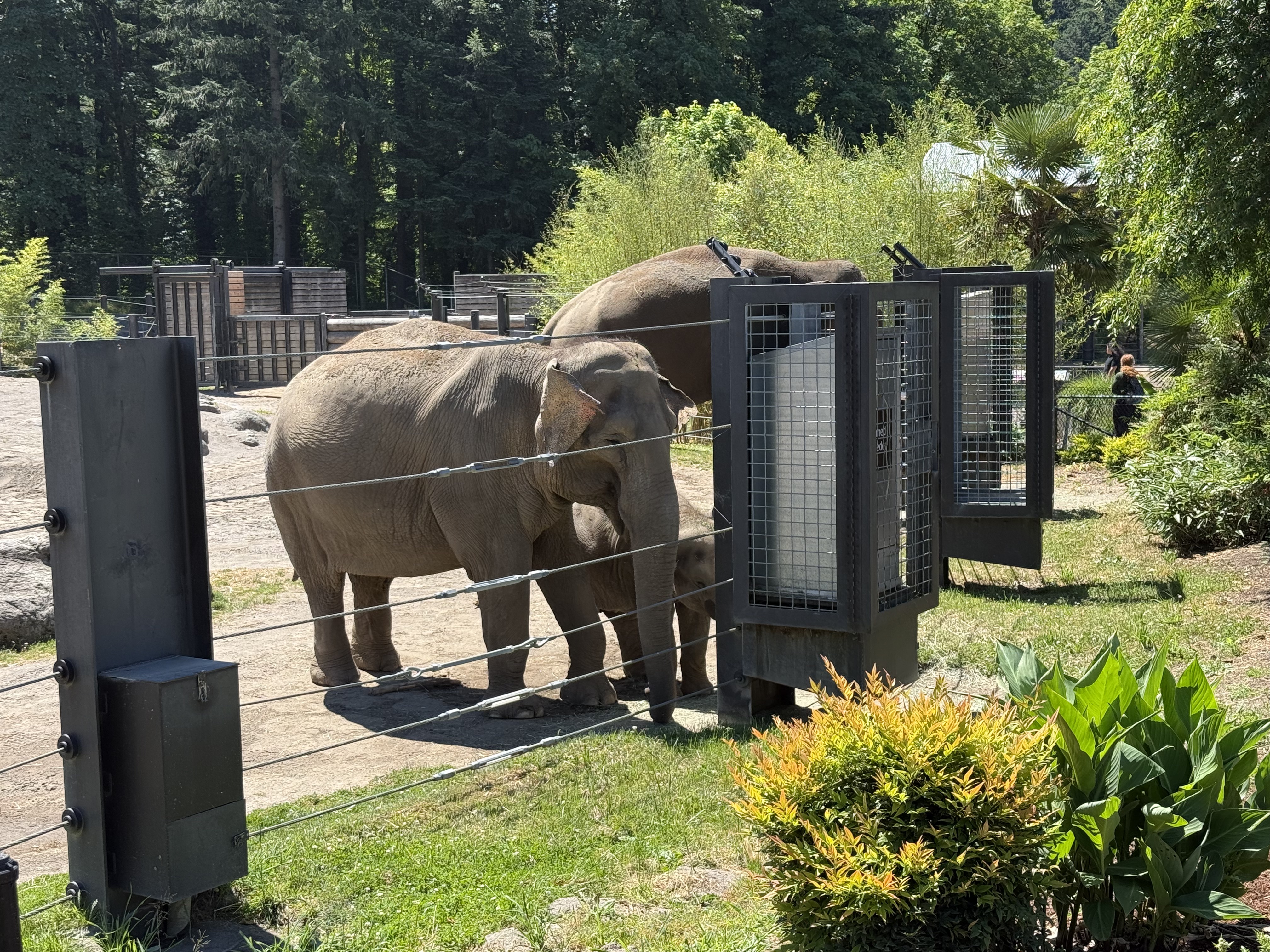
The zoo has named their “guests” because they are trying to support social systems like these elephants would have in the wild. Thus they have family groups (even in animals that don’t have “nuclear” families). For example, one of the males was in a sexually provocative state and isolated in the enclosure seen in the background so that he couldn’t fight with the other males, or injure the young one; but another who was considered “safe” was mixing with the “herd” while feeding in a separate “males only” trough until…
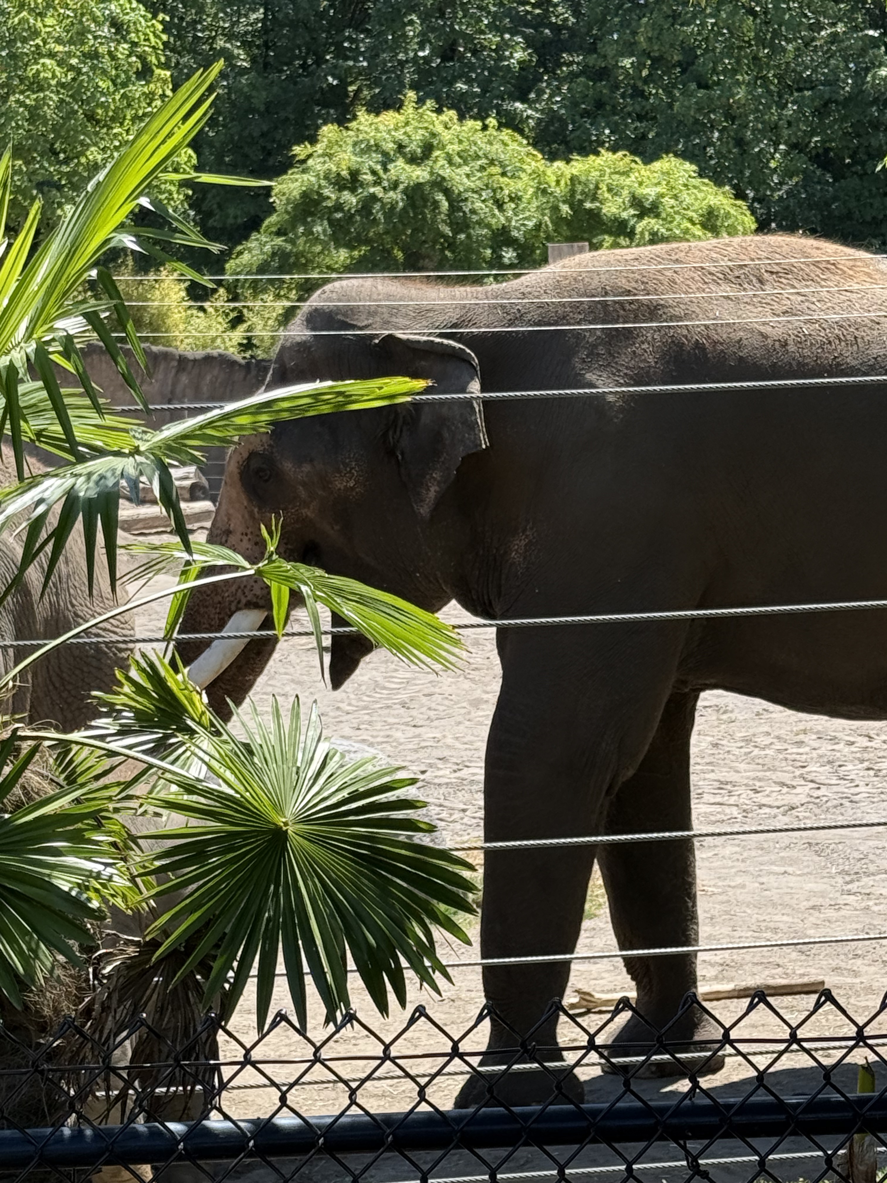
He finished his plate and pushed the others, including the young one, aside to eat their food. These large animals really need many square miles to live. This situation is like having your entire family living in a studio apartment, which people do in some parts of the world; nevertheless, elephants are at the top of my list for animals that will be eradicated by humans because they simply require so much SPACE to live, and they consume massive amounts of resources. I hope they don’t follow the path of the condors, and I applaud efforts like these–hope for the best but prepare for the worst-case scenario…
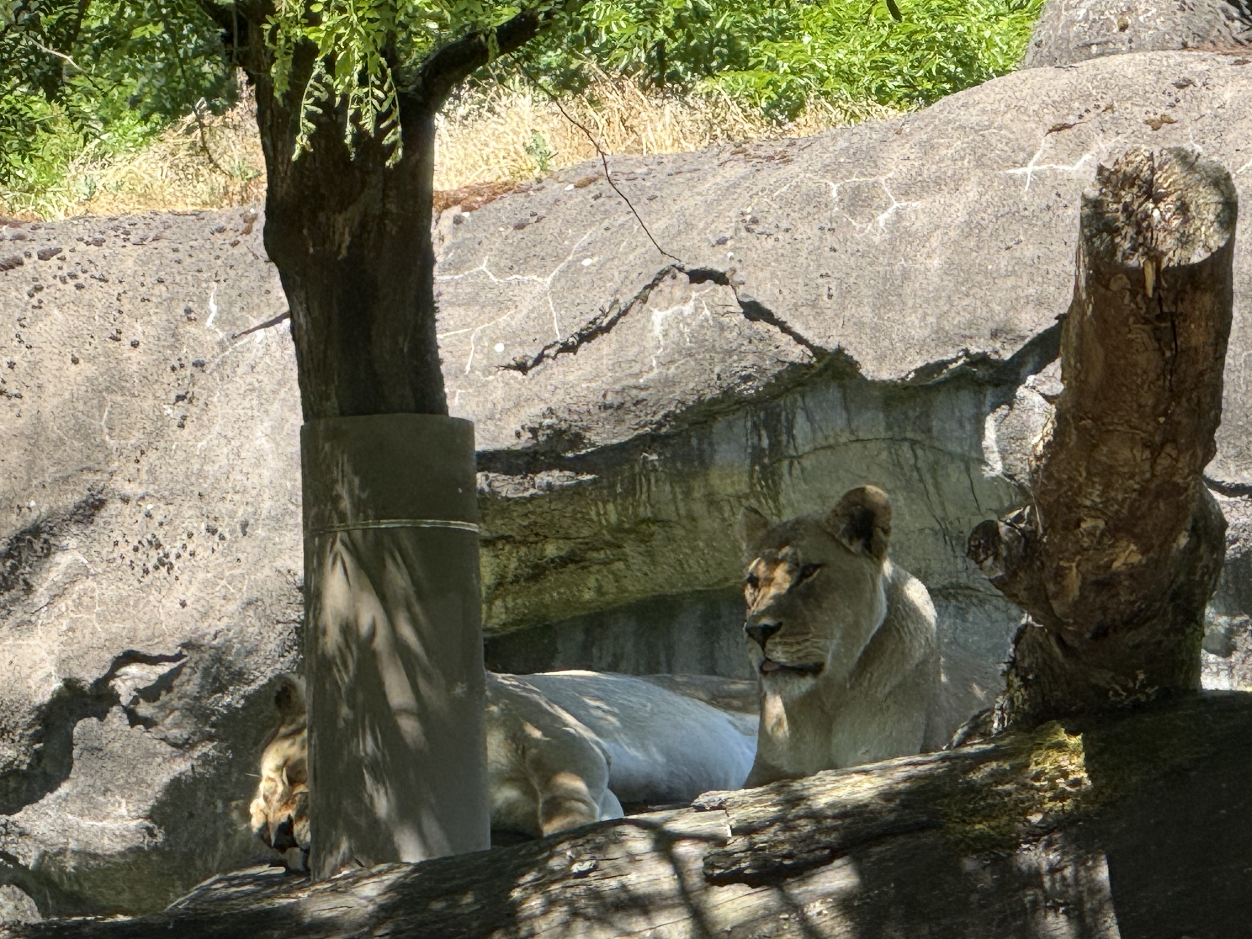
I could barely see these lions, but my phone’s camera caught this image. Words fail me to describe what might be going through this loin’s mind…
These lemurs don’t seem to care that a bunch of primates are watching them as they wake from a nap…
This monitor’s tail is half as long as its enclosure. A photo can’t convey its situation as well as a video, even thought it isn’t doing anything dramatic, but–what is it thinking? I have no idea; maybe it is perfectly happy–well fed, as cool or warm as it desires…
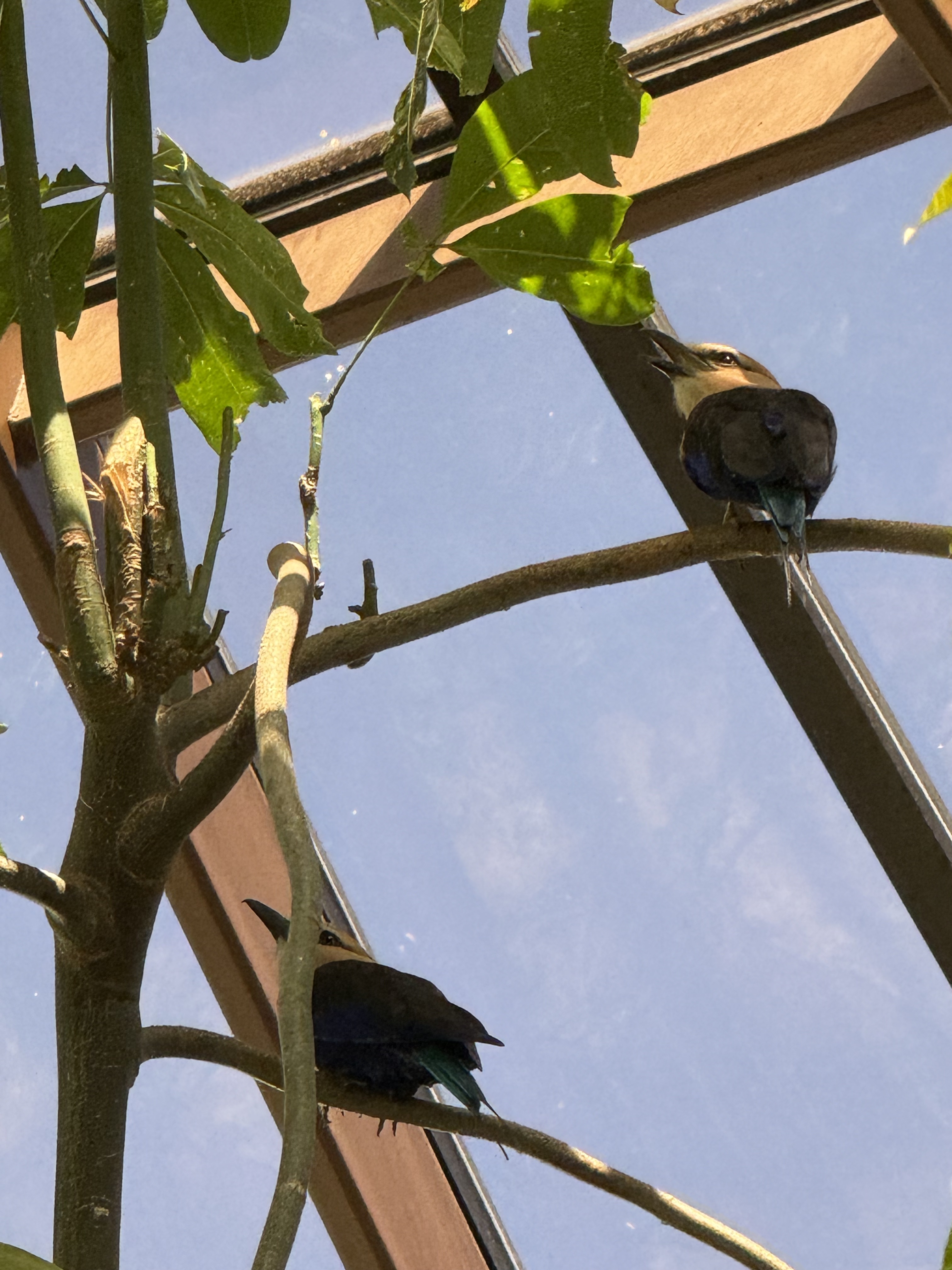
There were a lot of birds in the bird enclosure–small ones that could fly around, larger, flightless ones that hung around the door as if waiting for a chance to escape.
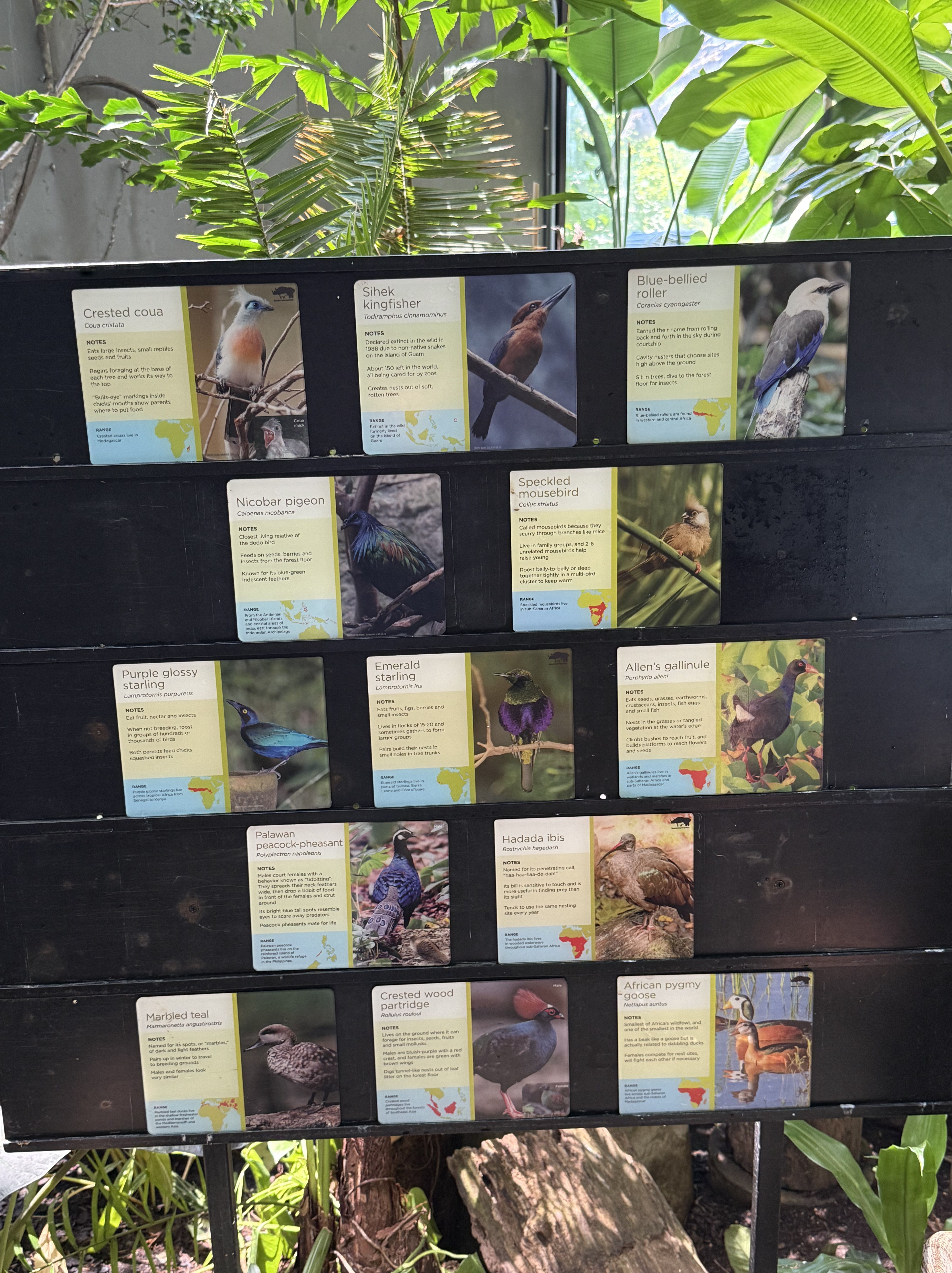
I saw several of these, but they didn’t pose for photos. None of them looks like the birds from the previous photo, but I don’t know anything about birds. Maybe the listing is out of date…or maybe I’m a typical modern Homo sapiens, who is so unaware of the physical world that…
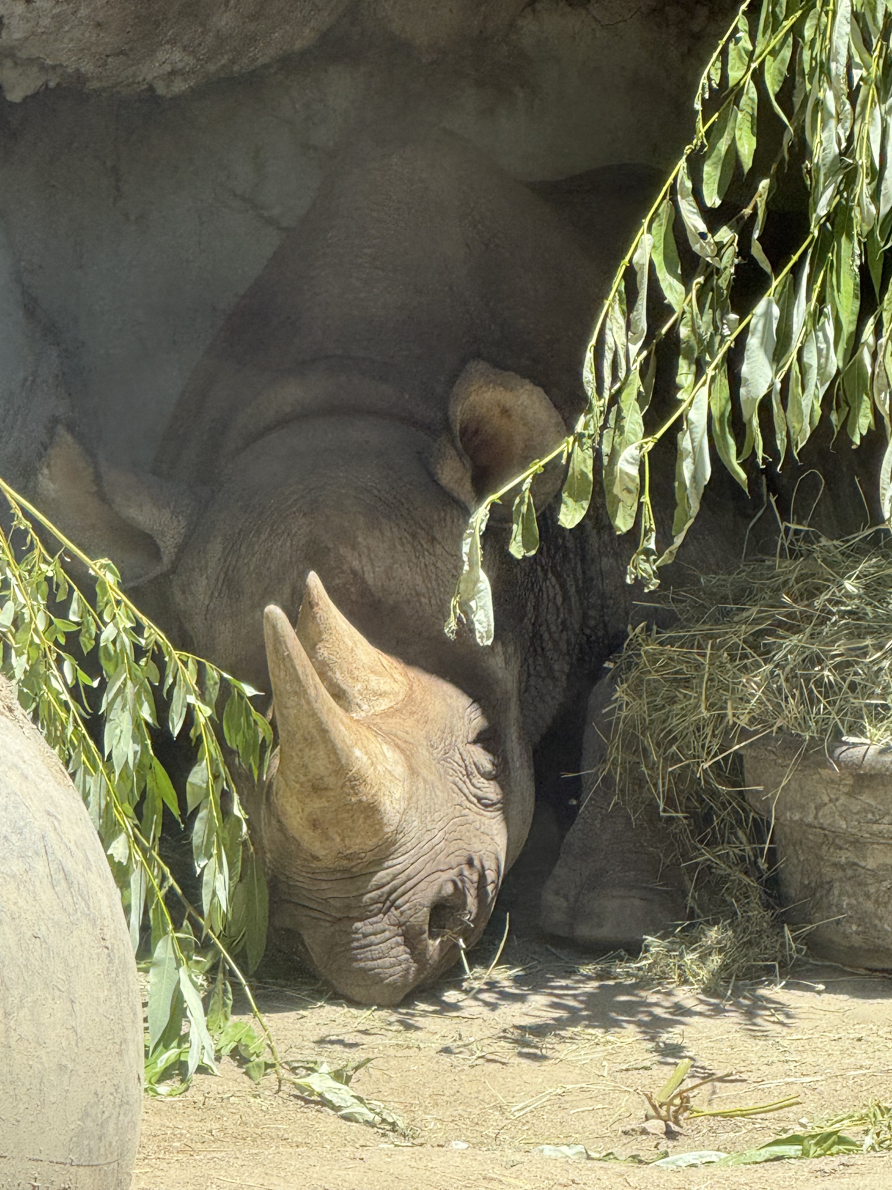
Thank god my phone could see in extreme contrast. I never saw this rhinoceros lying in the shade, apparently listening to every word we primates were saying. This is another example of an animal that requires a lot of SPACE to live; the Oregon Zoo did its best with what was available, even creating a “family” environment with several animals living together.
This tiger doesn’t say much, but their stately demeanor says more than words…

I got this image without seeing what I was photographing. With the light/shade contrast, I was blind but my camera wasn’t. What is this magnificent creature’s expression conveying?
I try not to anthropomorphize because none of the animals held captive in the Oregon Zoo are human. They aren’t stupid, intelligent, emotional, sociopathic, or anything else we sapiens self-classify ourselves as. They are simply not in a position to influence the physical world as dramatically as we. Lions and tigers don’t create cages to hold their prey before they become a meal. They hunt when they are hungry and eat what they can catch.
I don’t think my feelings about zoos have changed after my visit to this excellent repository of the animal world. Nevertheless I understand the conflict between humanity’s claim to dominance, as the top global predator, and the responsibility that comes with this natural order; what I mean is that we are the children of Earth, just as is the tiger and the bacteria. However, with great power comes great responsibility, and it is incumbent on us to accept the difficult challenge of preserving life to the extent of our abilities.
Every animal I saw in the Oregon Zoo is, or will soon be, threatened by humans. Maybe we are the cause of the next great extinction–if so, such an ominous responsibility should be treated with great circumspection. This is no light matter.
Whether we like it or not, we are responsible for the fate of life on Earth…
A Day Trip to Yakima
We wanted to see what was on the other side of the mountain, so we headed east from Tacoma and crested the Cascades at Chinook Pass. It was snowing at the pass and fog/clouds obscured what were probably majestic views. We pushed on to Yakima and found the Cowiche Canyon recreation and conservancy area.
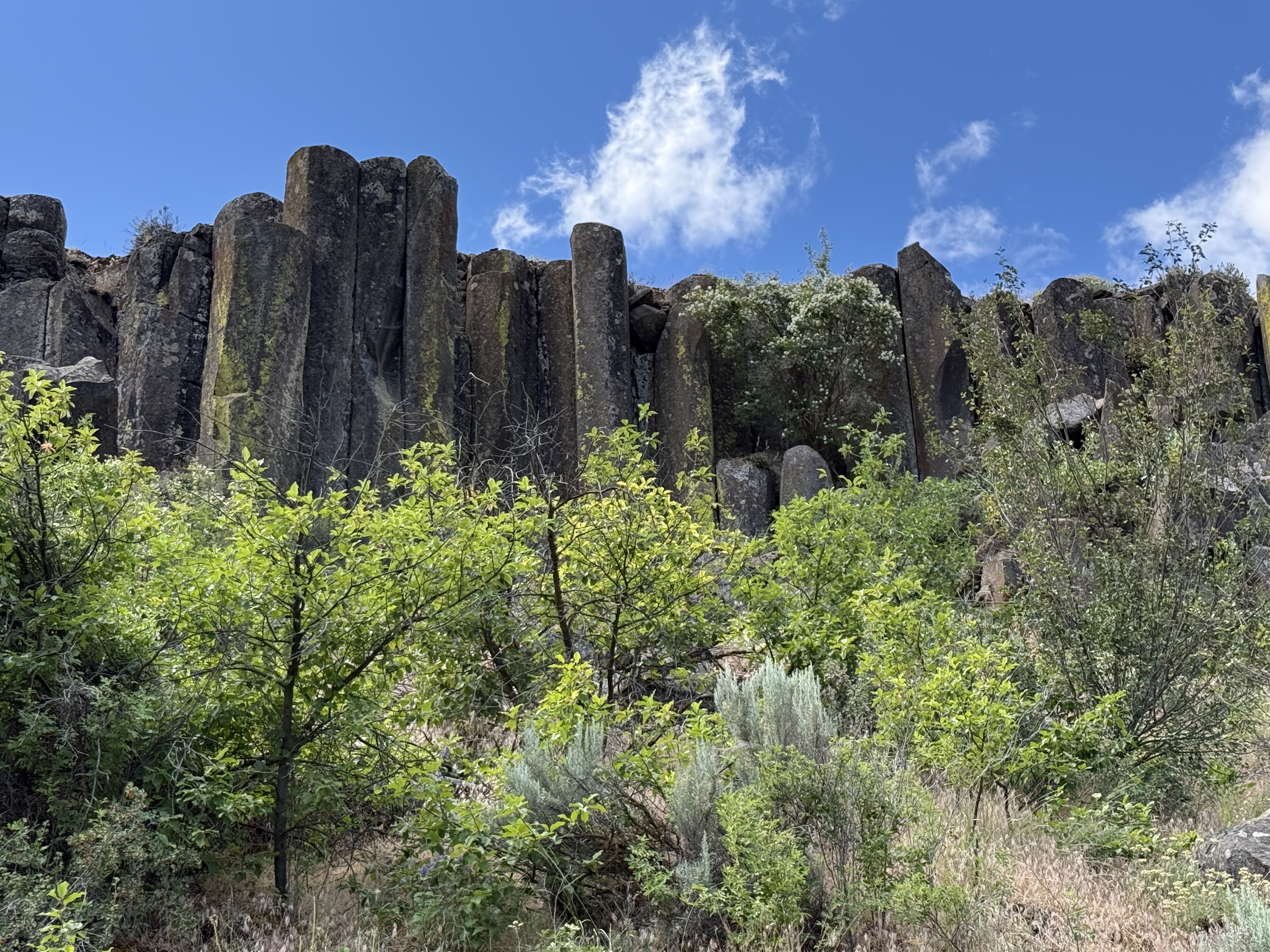
This is a typical view from the trail, which follows an old rail line that was used for seventy years to haul apples out of the area. I have discussed the columnar basalts and vegetation in previous posts. It was late spring and all of the plants were showing their color while water rushed past in the creek at the bottom of the canyon.
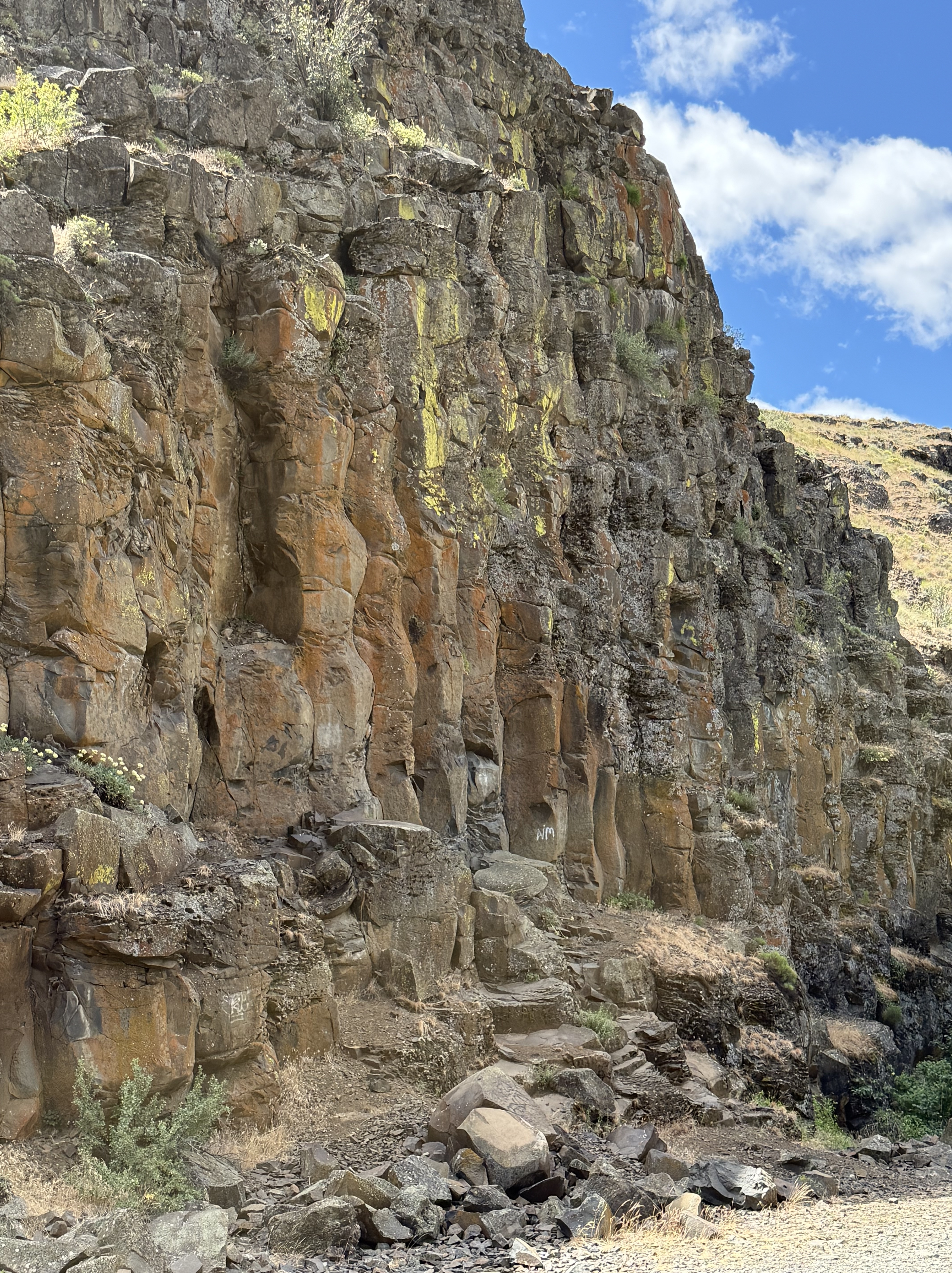
This undulating columnar basalt caught my eye because of the color and its wavy appearance.
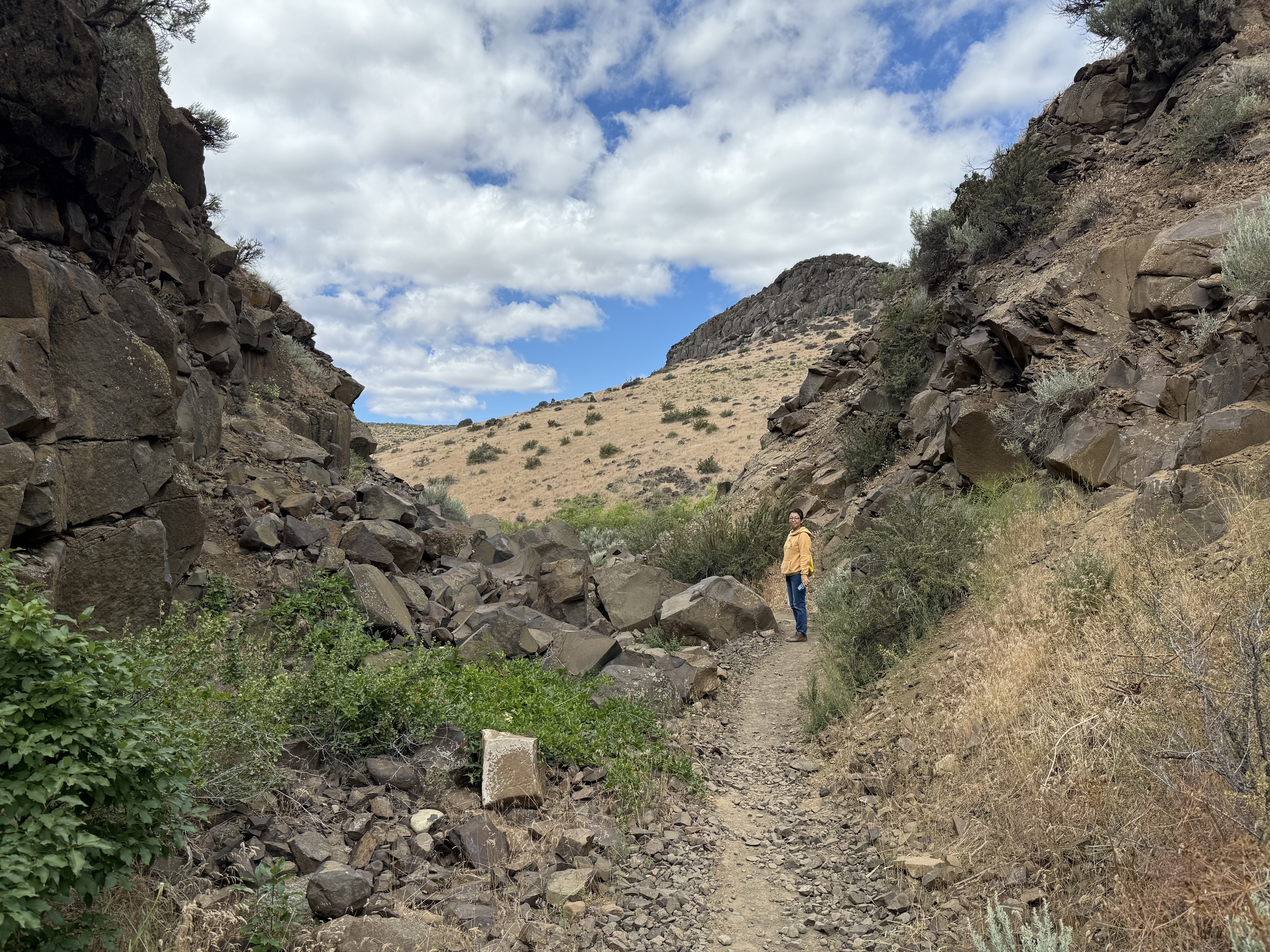
The Burlington Northern railroad wasn’t afraid to use explosives to create a path through what was described at the time as, “A dry, rocky canyon good for nothing except a railroad.” The rails have been removed, but the eleven bridges required to construct a rail line to cover the 3 miles of the trail system are mostly still in place.
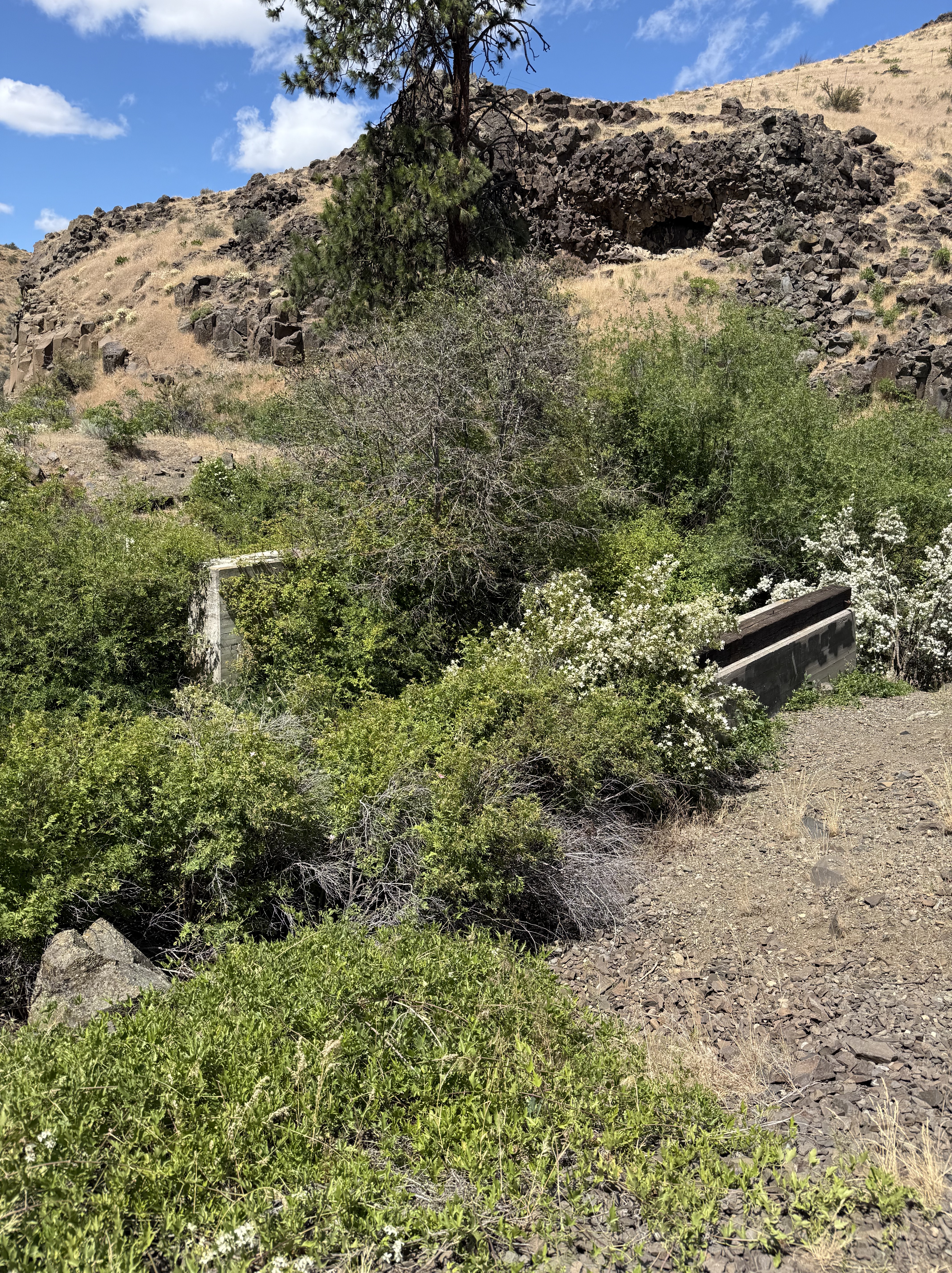
Here’s one that didn’t last. It was replaced by a pedestrian bridge constructed by the Cowiche Canyon Conservancy and the Bureau of Land Management.
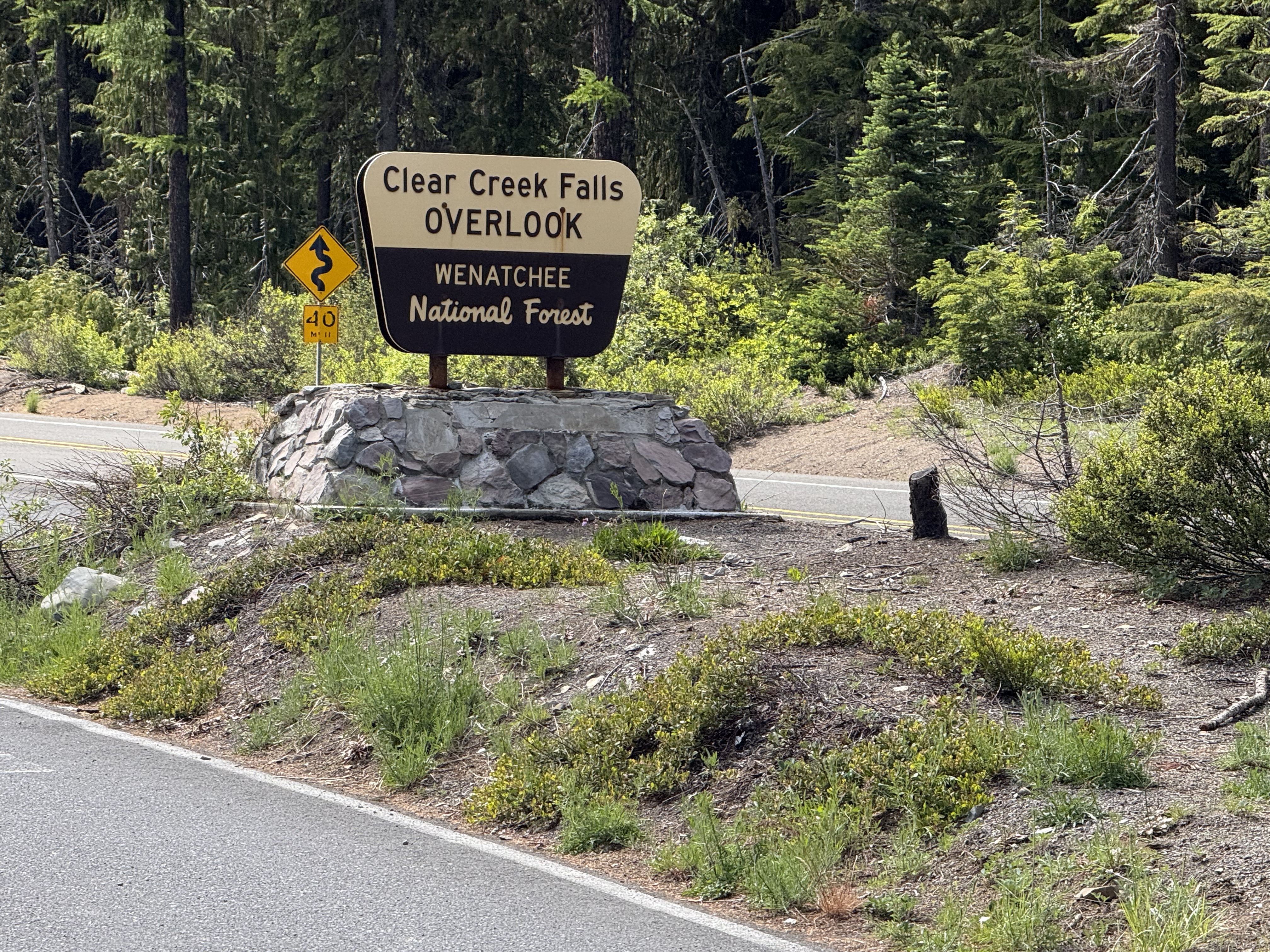
We took a more circuitous route back to Tacoma using US12 through White Pass. It didn’t snow, and we got a look of one of the many water falls in Washington.
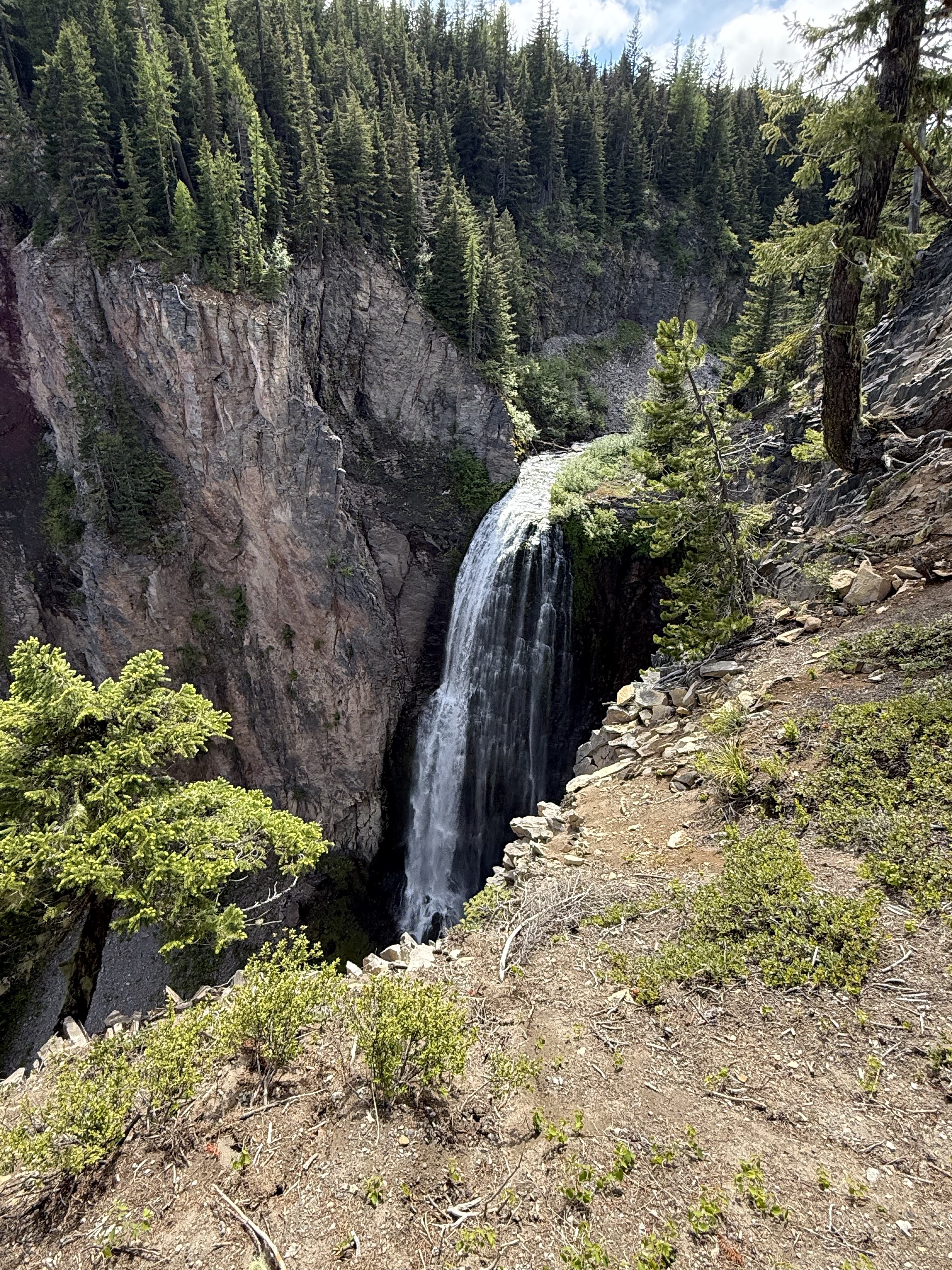
This was the best angle I could get, and I still couldn’t see the bottom! It turns out that Washington has more than 3000 catalogued water falls, more than any other U.S. state. Clear Creek is rather small at only 300 feet, so I guess there is some more air down there.
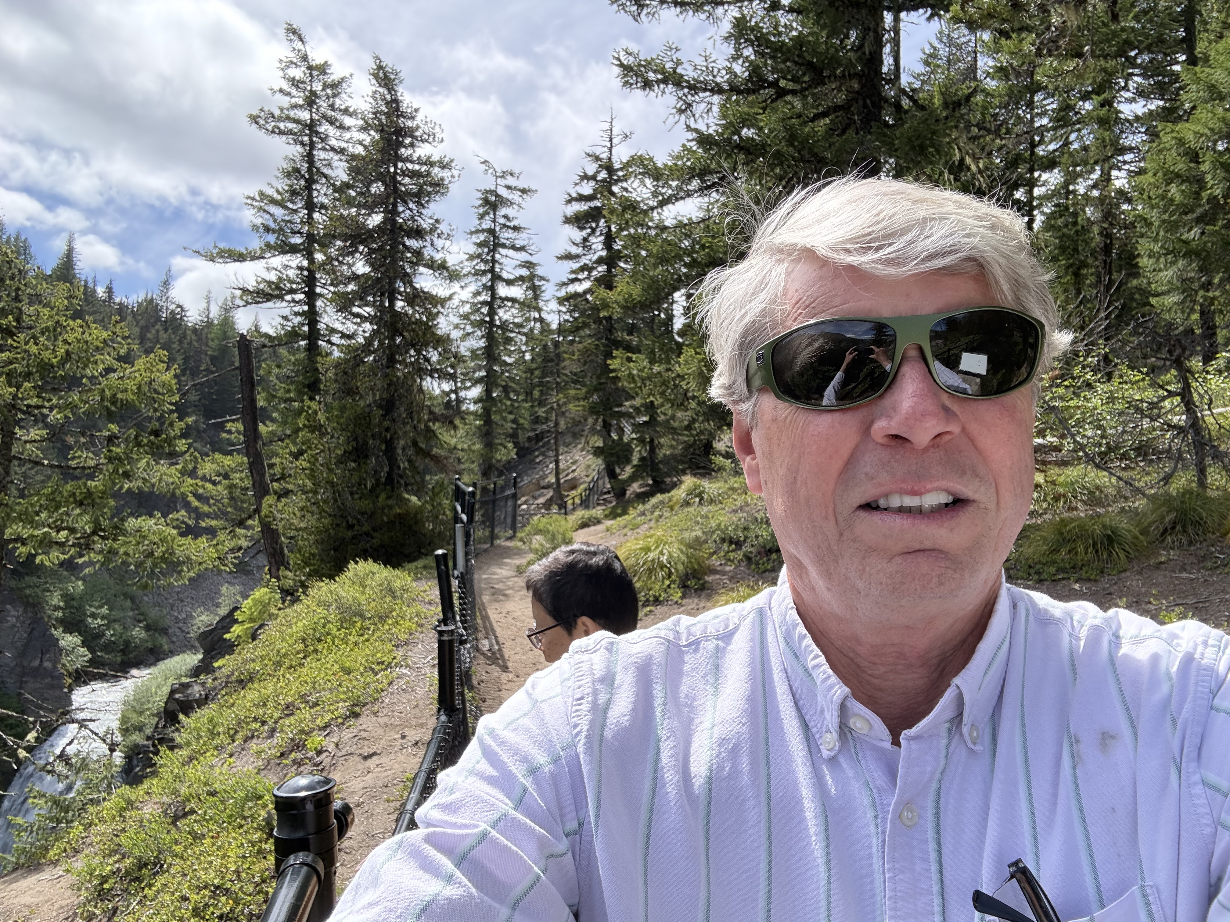
It was a beautiful day in the Pacific Northwest, including the snow flurries. A ten-hour day trip took us from coastal Washington, over a 6000 foot pass, into dry eastern Washington, where we hiked through a canyon filled with native plants and rocks (hahaha), and back over the Cascades past a magnificent water fall in Wenatchee National Forest.
This is undoubtedly the most beautiful place I have ever lived…
Ecological Notes from Cowiche Canyon
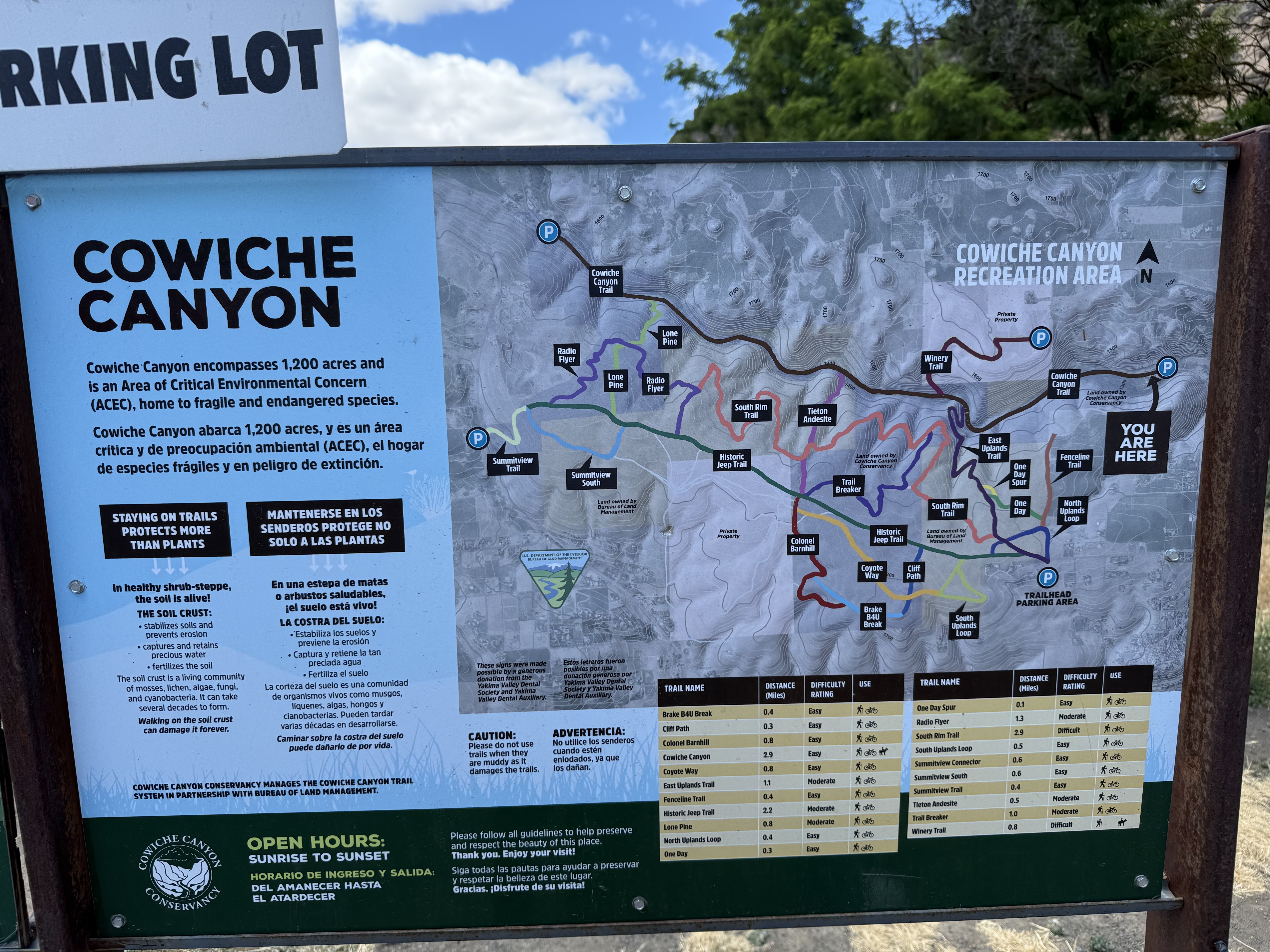
Cowiche Canyon Recreation Area is located on US12 just west of Yakima, Washington. The region receives 9-14 inches of rain per year, making it a dry area; thus, the trail system includes both shrub steppe (uplands) and riparian (along Cowiche Creek) habitats. We followed the main trail along the path of a rail line that was in use between 1913 and 1984 along the creek; however, the wetland is very narrow, in places constricted to less than 100 yards. Thus, I encountered plants from both environments.
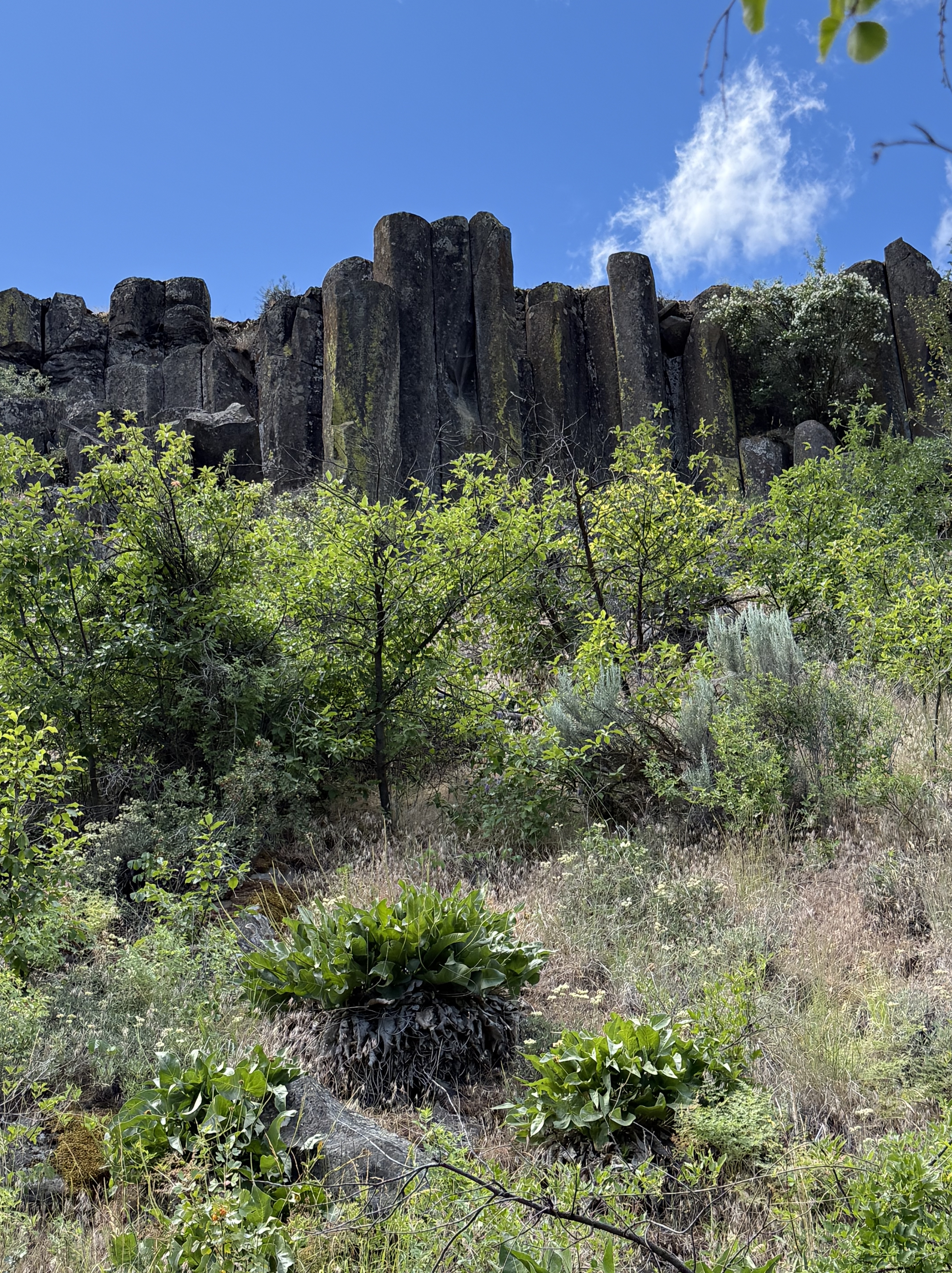
The canyon walls are composed of a series of basalt ledges with intervening slopes covered by talus and colluvium, which are part of the shrub-steppe habitat. I discussed the geology of the area in another post.
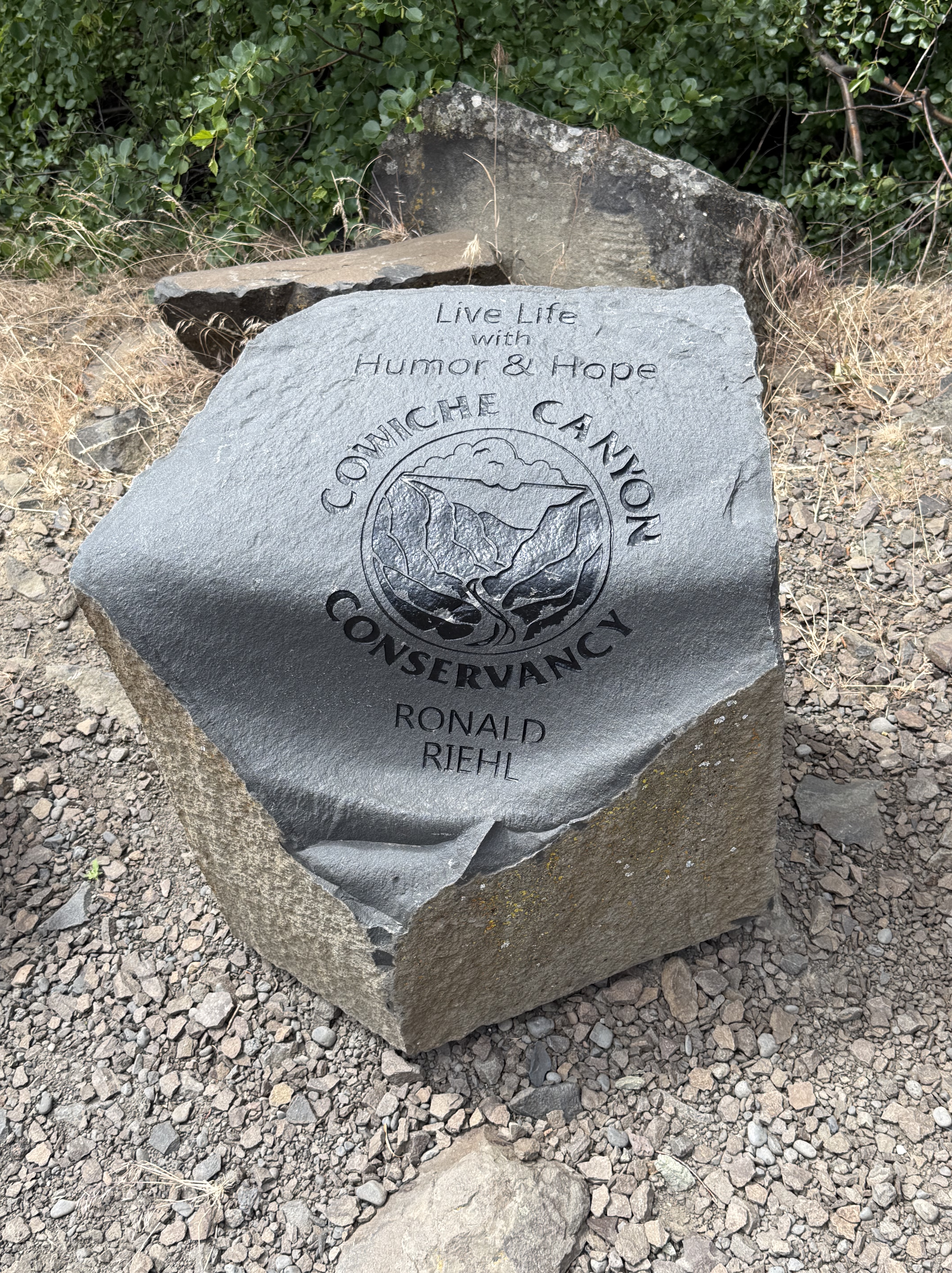
The recreation area is maintained by the Cowiche Canyon Conservancy in partnership with Bureau of Land Management. This stone is a piece of the columnar basalt that lines the canyon.
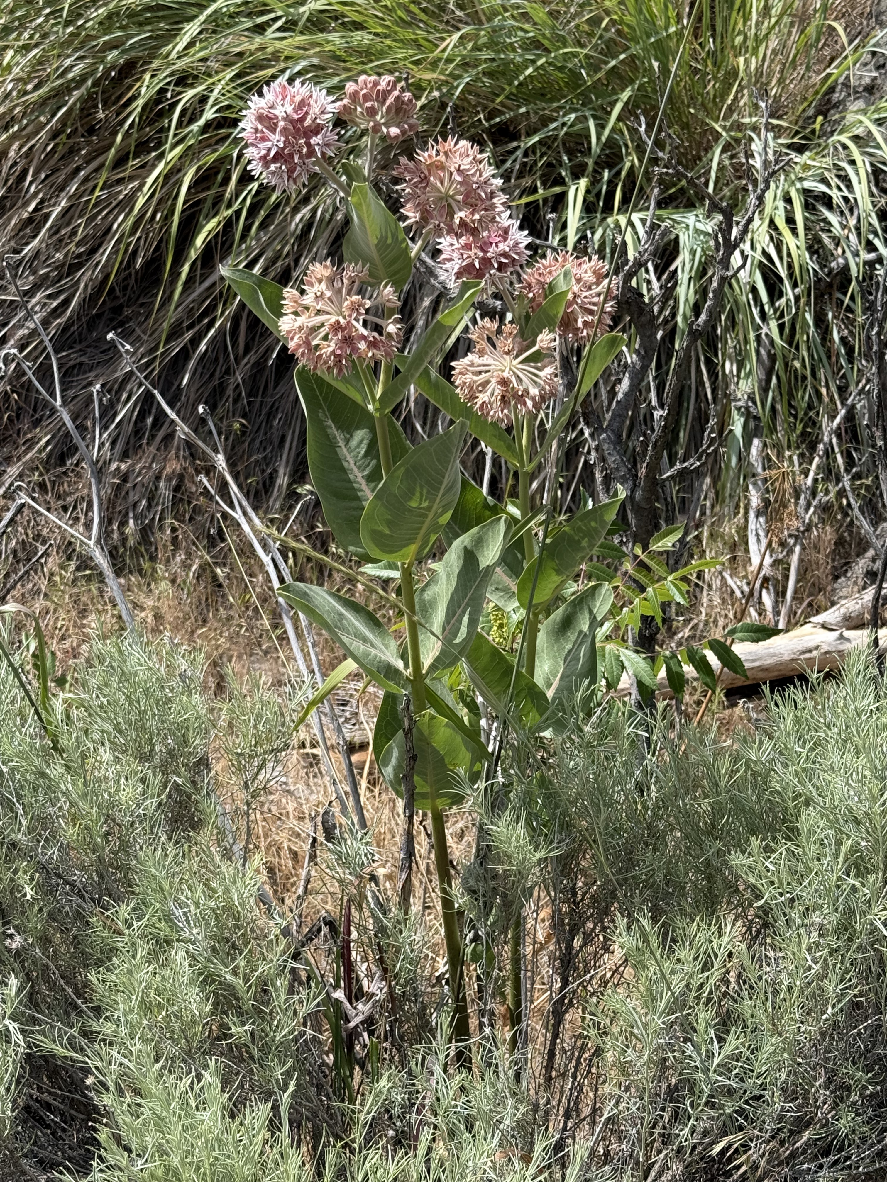
It’s fortunate that I visited this area during spring, which lasts a little longer here in the Pacific Northwest. As always, I used CoPilot (AKA ChatGPT) for identification while I try to remember scraps of the huge amount of information presented in this mixed environment.
This is Asclepias speciosa, also known as showy milkweed. It is native to Yakima county and is a host species for Monarch butterflies.
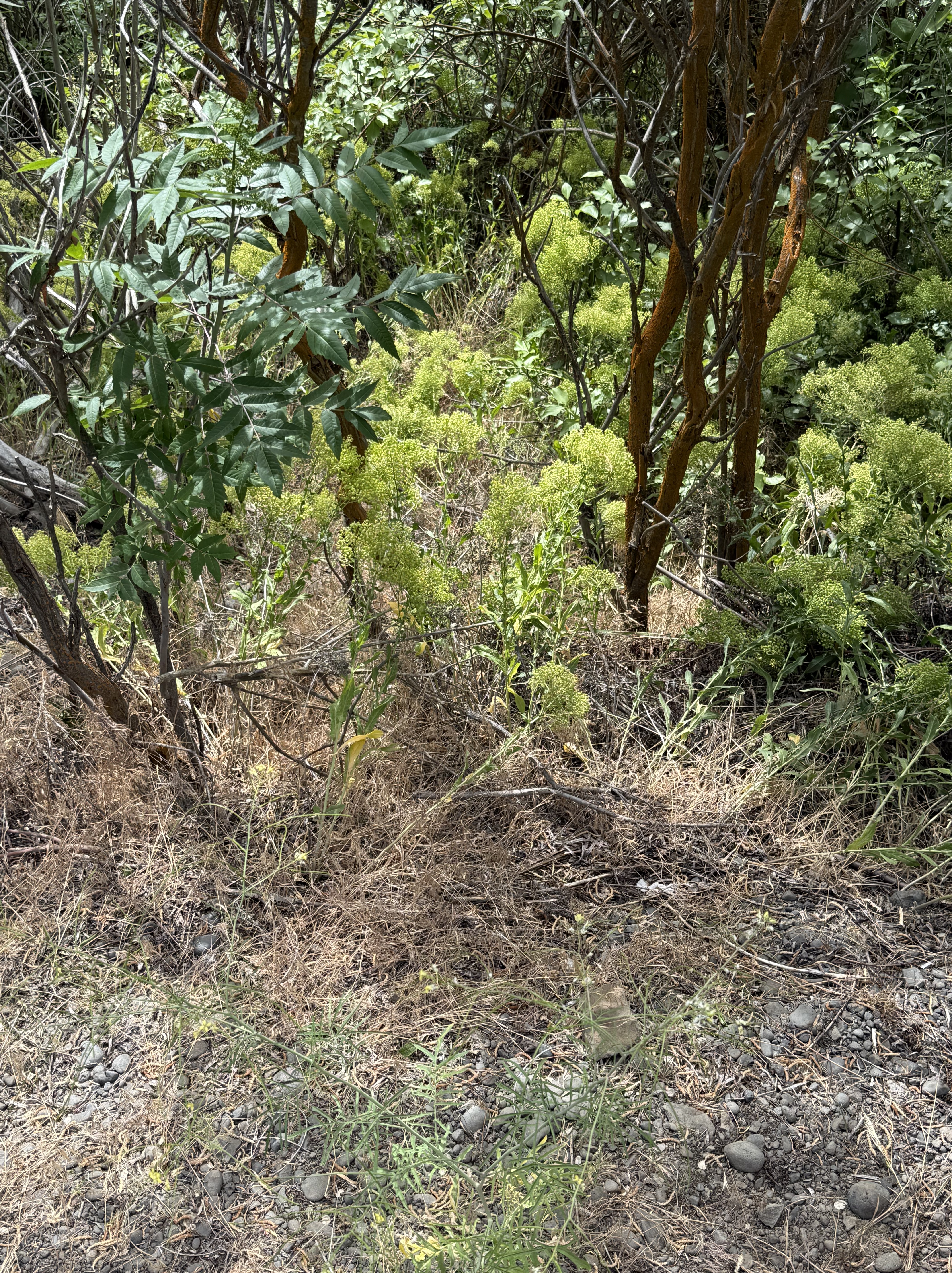
The leafy shrub with dark leaves is snowberry–Symphoricarpos albus (or possibly S. oreophilus, which also occurs around Yakima).
The low, brightly colored shrub with straight stalks is probably wax currant (Ribes cereum). The bright green is small leaves and the small patches of pink–barely visible in the photo–are the flowers. These are both native plants.
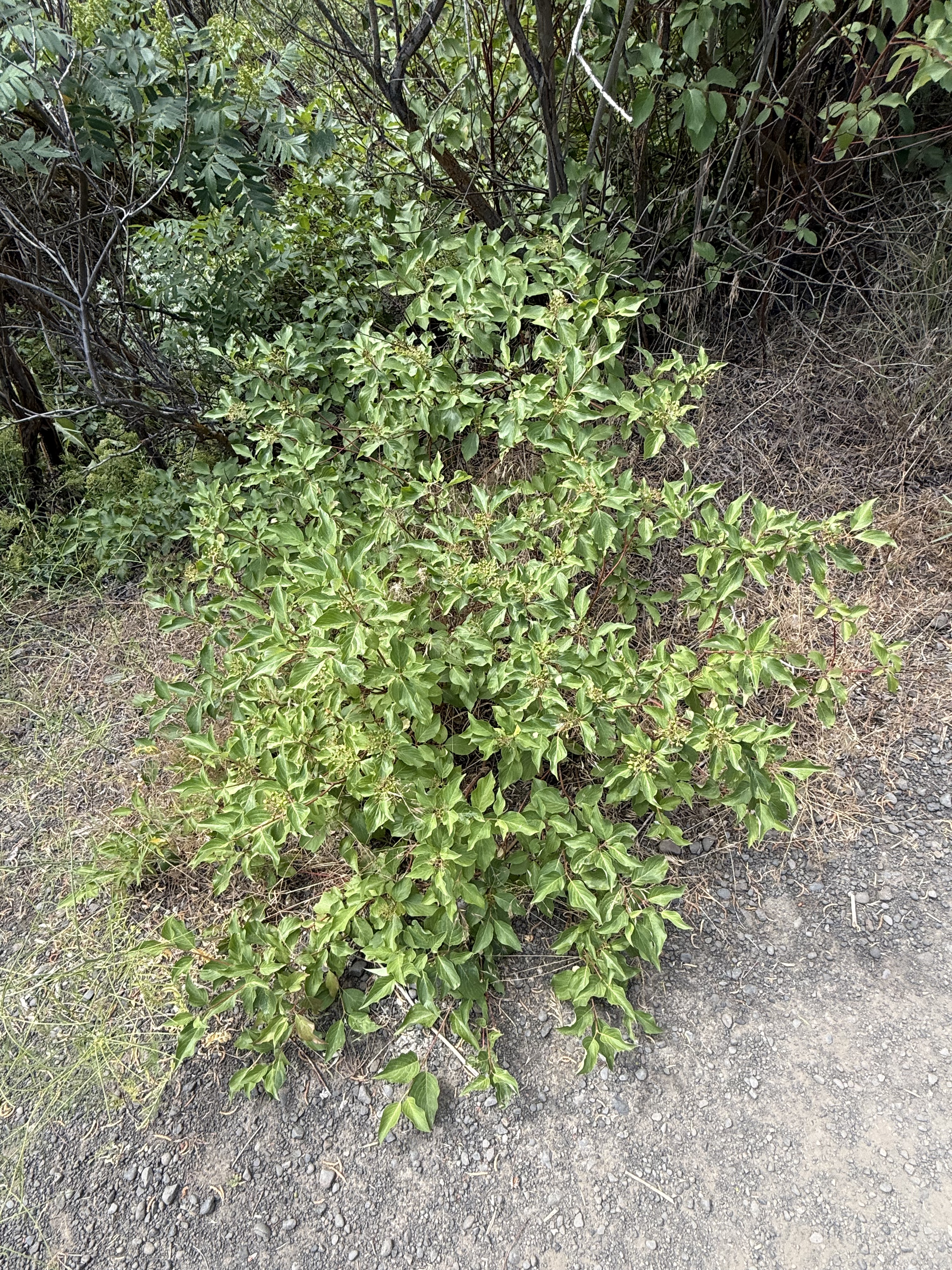
CoPilot wasn’t so sure about this, but it might be Creek or Red-osier Dogwood (Cornus sericea). This specimen was growing in the bottom of the canyon, not far from Cowiche Creek, which is a natural location for this native riparian species. It will probably become a small tree.
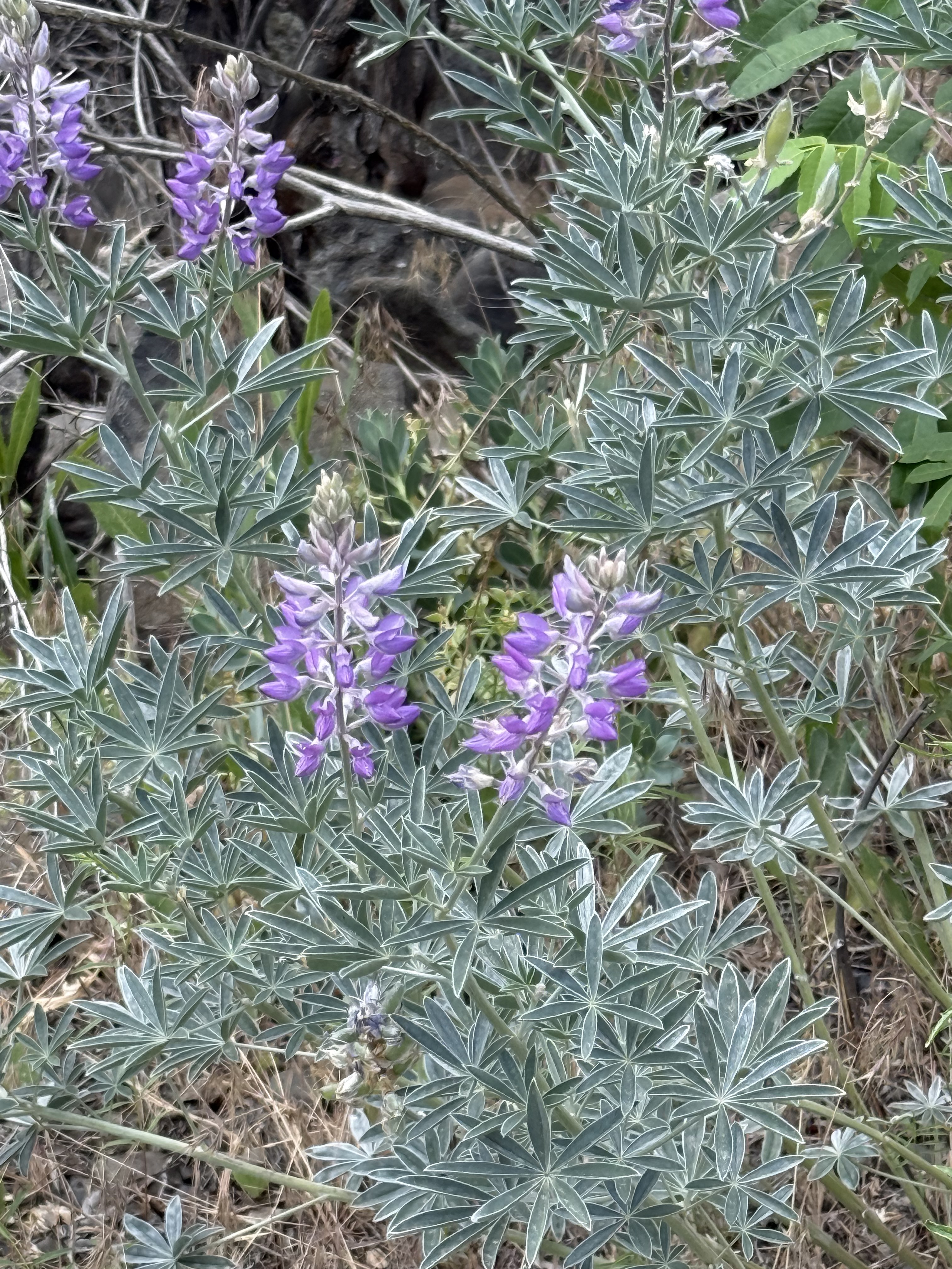
This is my favorite from the walk. Silky lupine (Lupinus sericeus) is one of the signature wildflowers of eastern Washington. I sure am glad we caught them in bloom.
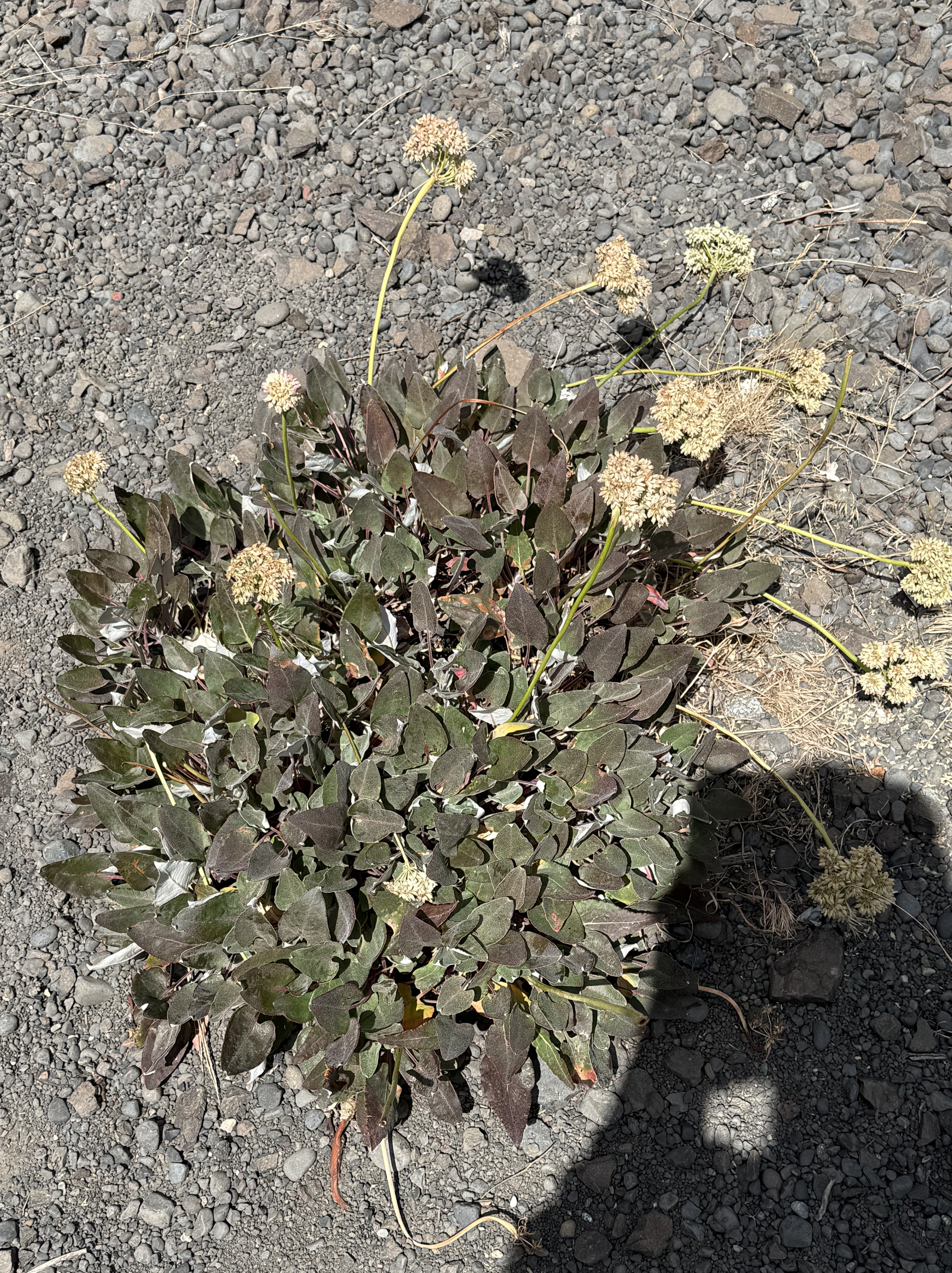
This looks like Pale‑stem buckwheat (Eriogonum heracleoides), another native wildflower to the shrub-steppe habitat.
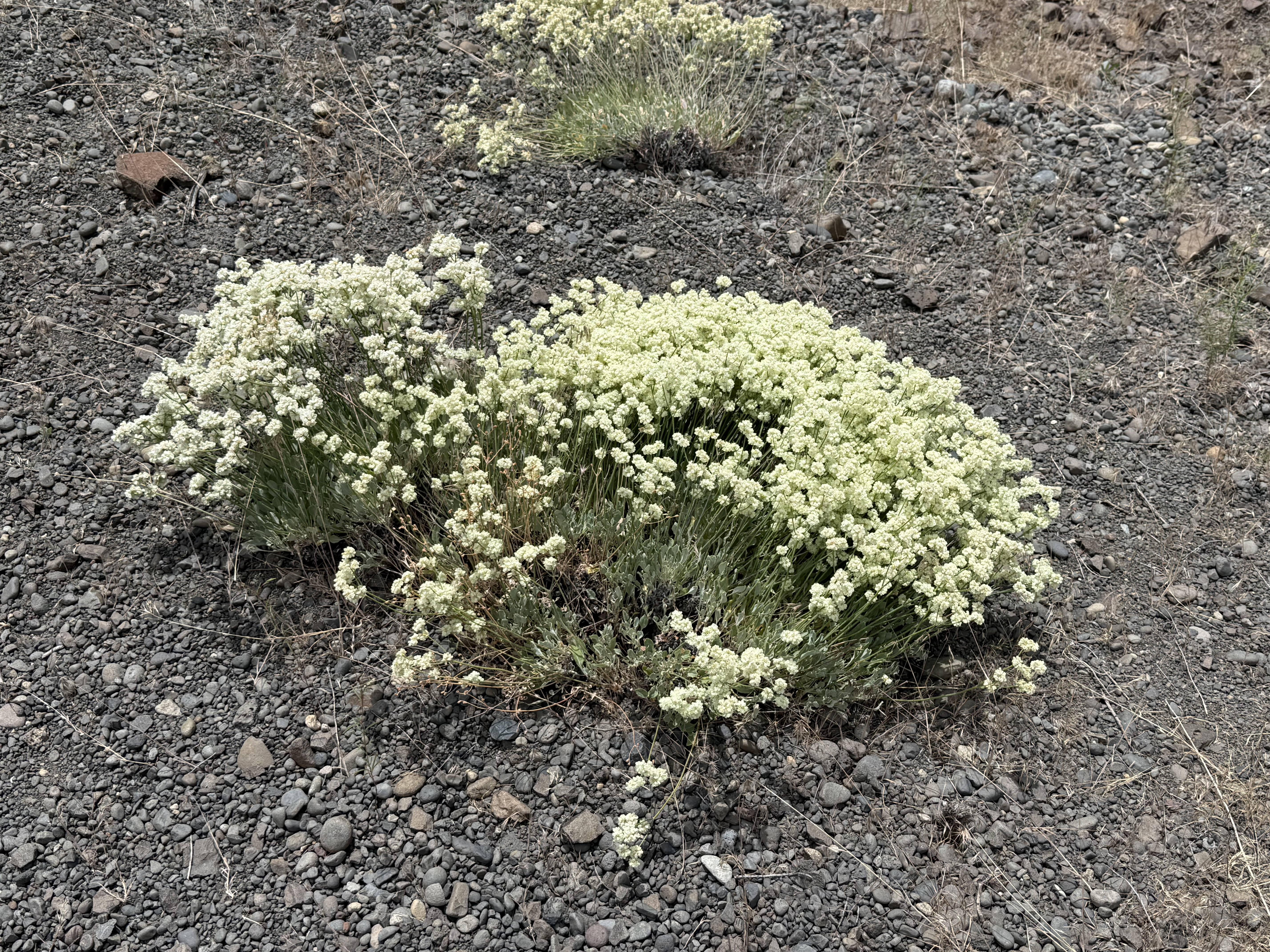
My untrained eye thought this was Pale-stem buckwheat, but CoPilot pointed out the different leaf pattern and color. This is (probably) Sulphur Buckwheat (Eriogonum umbellatum), another common wildflower to Yakima County’s uplands.
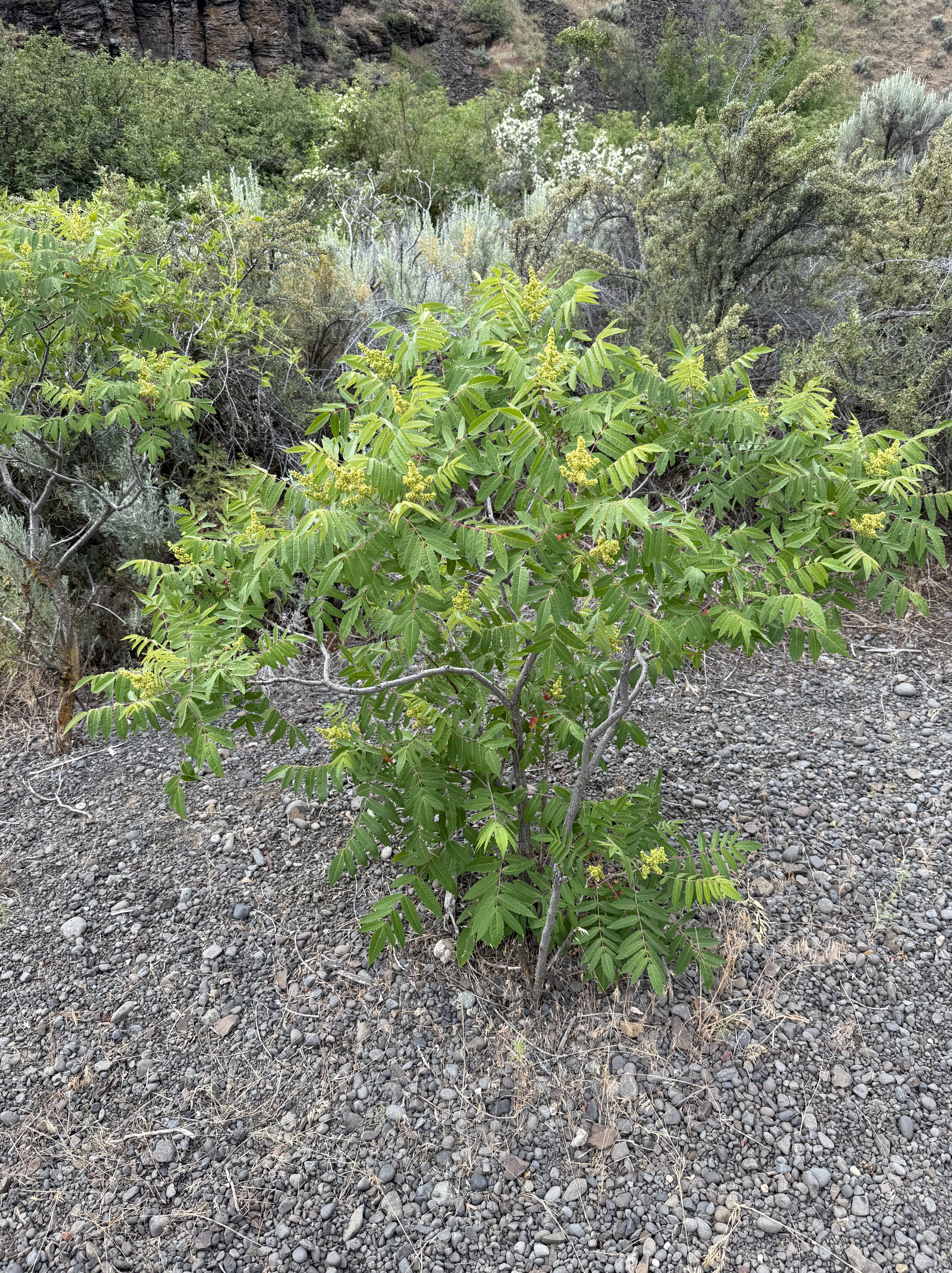
Antelope bitterbrush (Purshia tridentata) is a foundation species of the steppe. This young one had lots of flowers, but the old ones have bare branches; and groups of them grow and die together in cohorts after a disturbance like a wildfire. Yet another native plant.
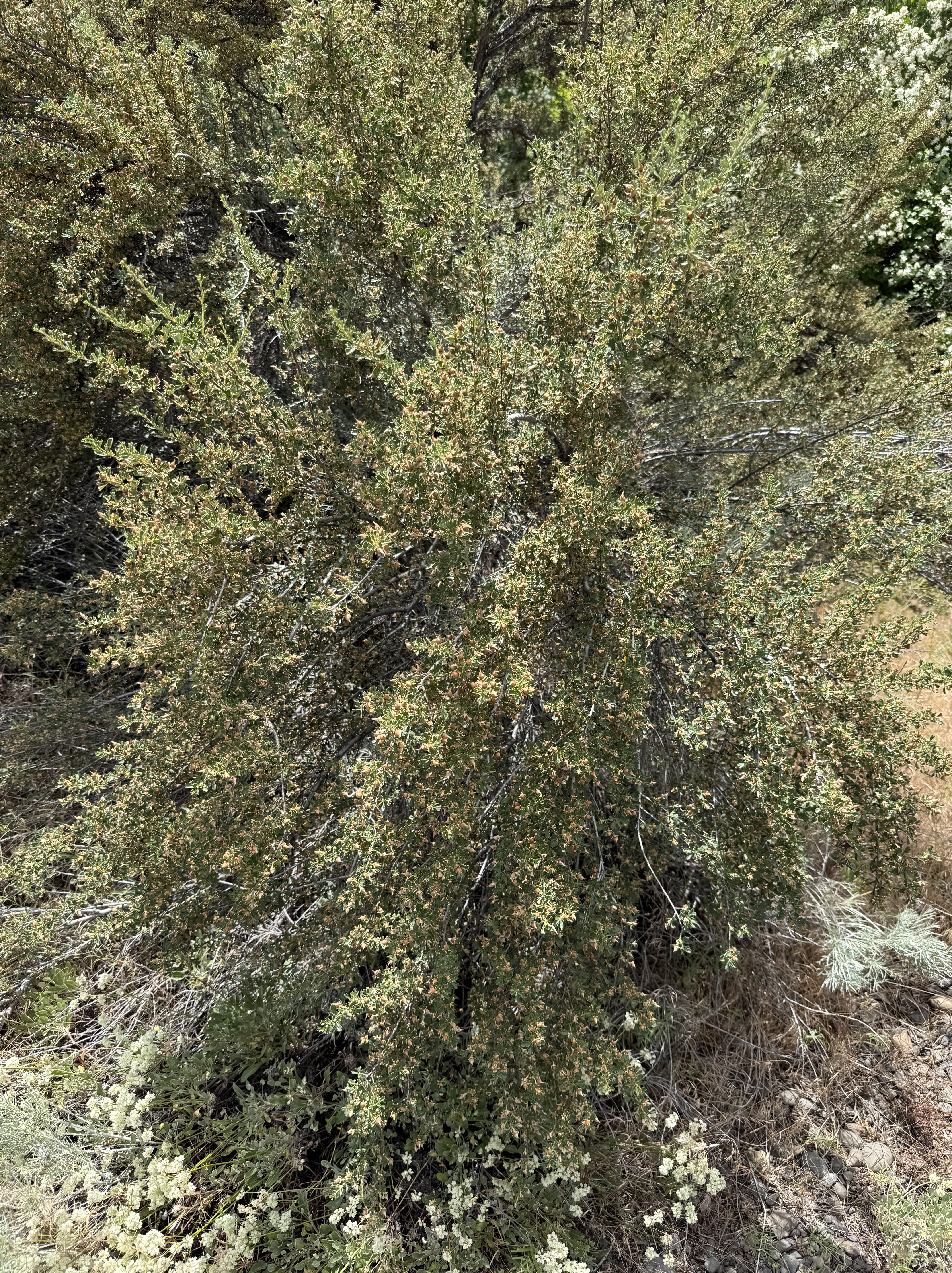
After some discussion, and sharing a close-up, CoPilot swears (hahaha) this is Woods’ rose (Rosa woodsii). However, its justification fits what I see with my own, somewhat confused eyes.
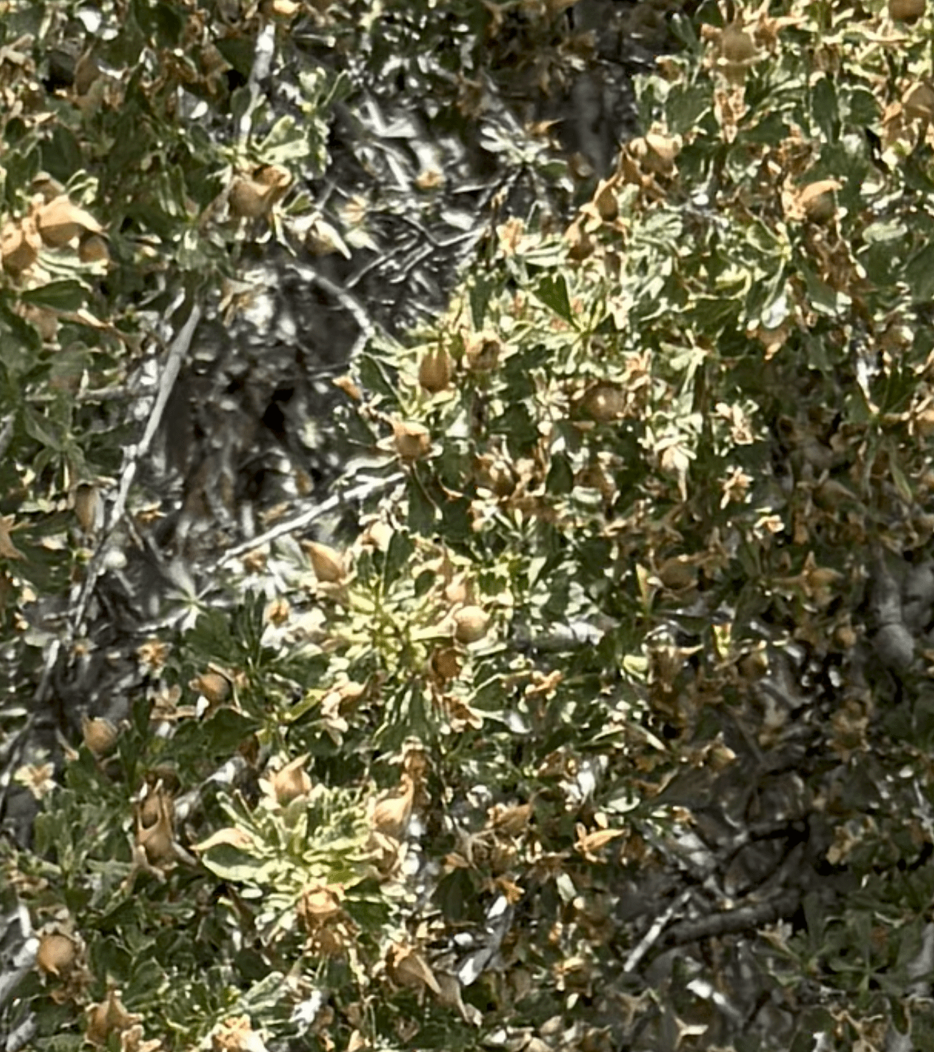
Here’s a close-up of the fruit. The shrub is covered with small nuts that have a distinctive shape, and are definitive for a wild rose. This is another native species to the steppe habitat of Eastern Washington.
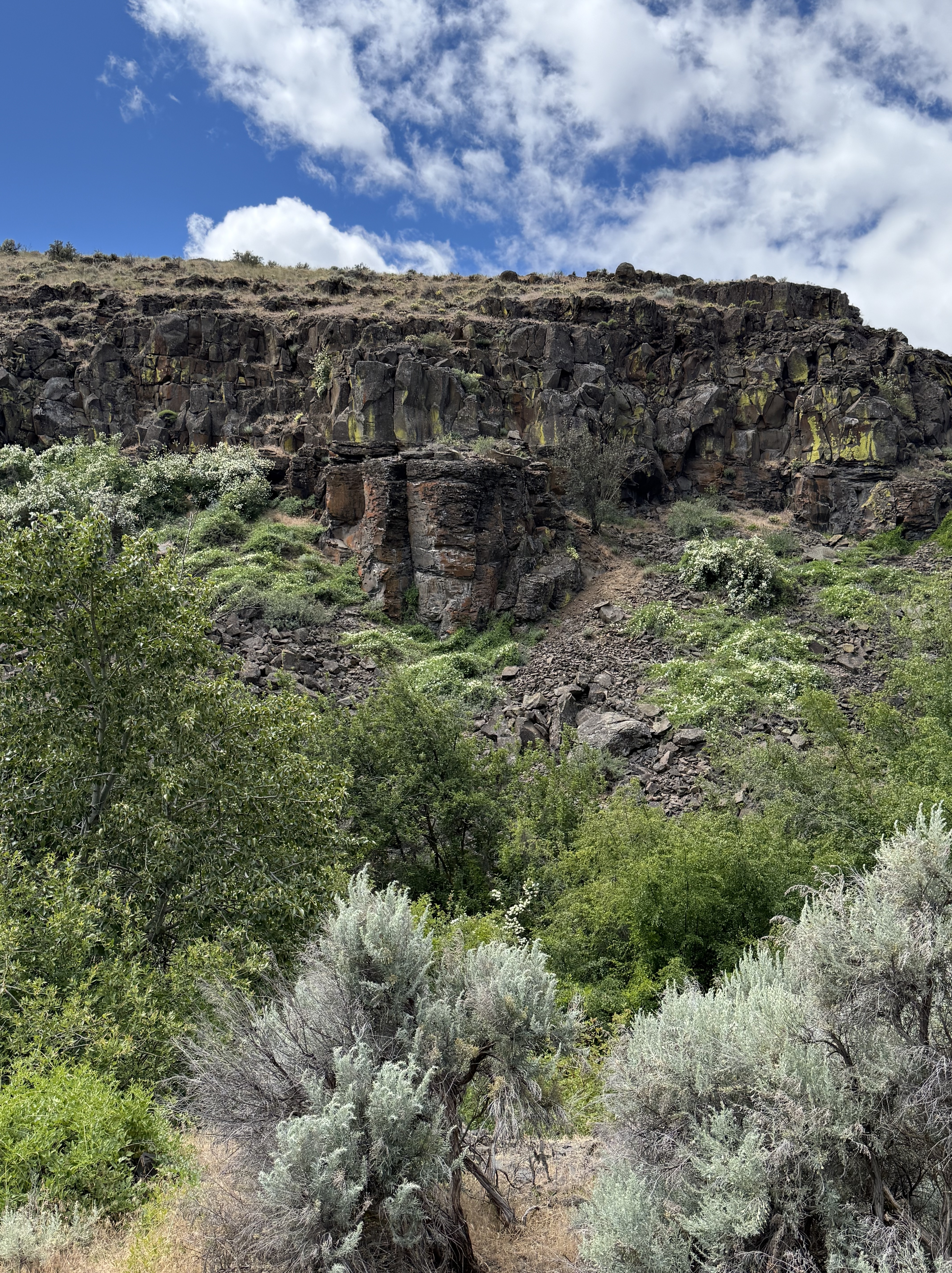
This photo, looking across Cowiche Creek, puts it all together for me. On the other side of the canyon we see columnar jointed basalt, several plant species similar to snowberry, bitterbrush, and buckwheat. Along the creek are dogwood and wild rose; and in the foreground is (maybe) big sagebrush (Artemisia tridentata).
When I took this picture, all I saw was a bunch of plants. After carefully examining them with CoPilot, it has become a mixed riparian-shrub-steppe habitat. However, I didn’t see/hear any birds or other animals, even though it was a cool day with temperatures in the mid-sixties.
CoPilot was a great help, but it is not infallible–more like working with someone who has studied some biology/ecology. After all, it is only a Large Language Model, not an AI system trained on recognizing plant species. Nevertheless, it was a great collaborator and I learned a lot from our collaboration.
Volcanic Rocks at Cowiche Canyon
Introduction
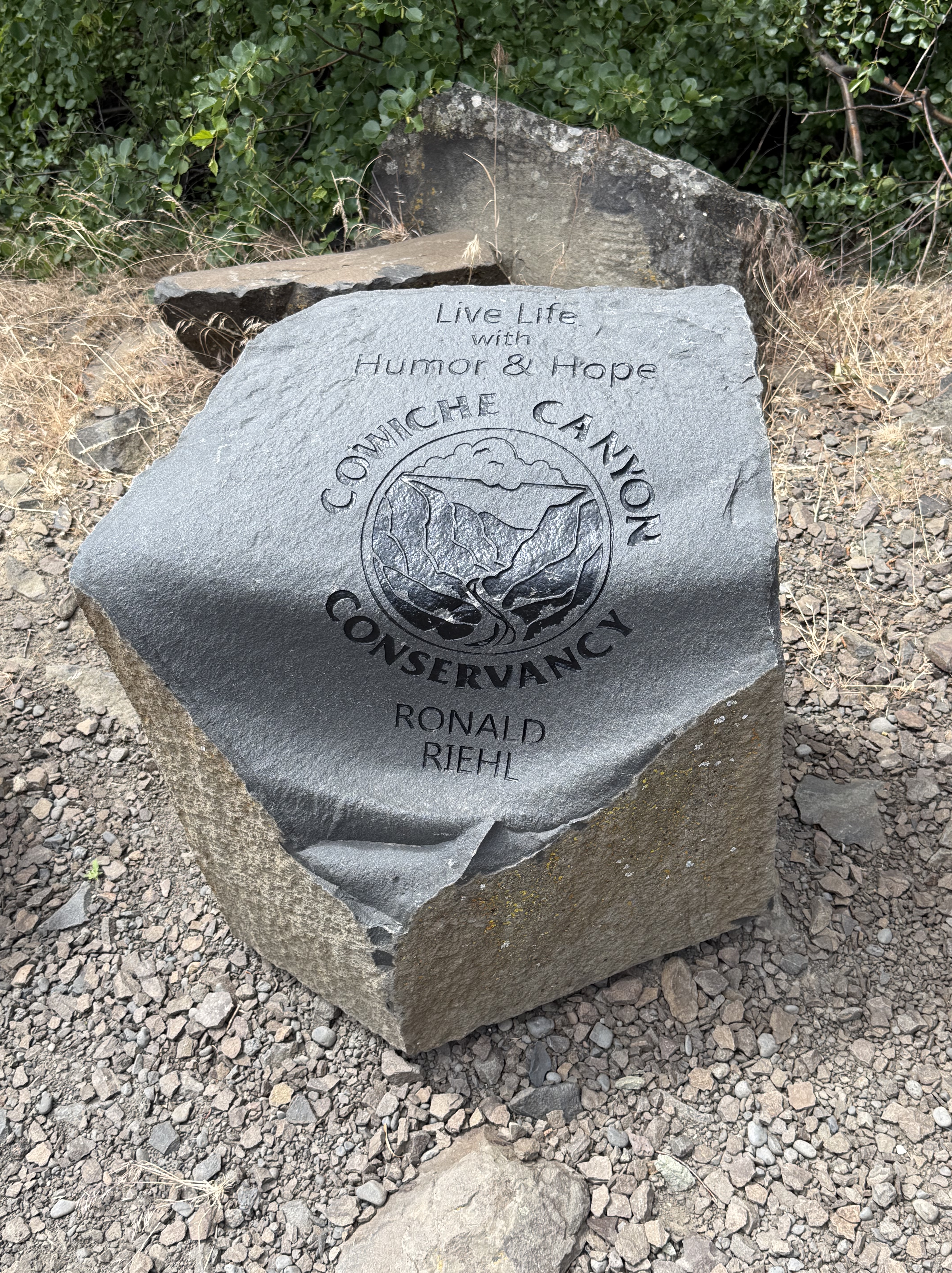
Burlington-Northern Railroad built a line through Cowiche Canyon in 1913 to transport apples, but it was abandoned in 1984 and the land was acquired by the Cowiche Canyon Conservancy for a non-motorized vehicle trail system. The main trail extends 2.9 miles along the South Fork Cowiche Creek, crossing the 11 bridges constructed for the railroad line.
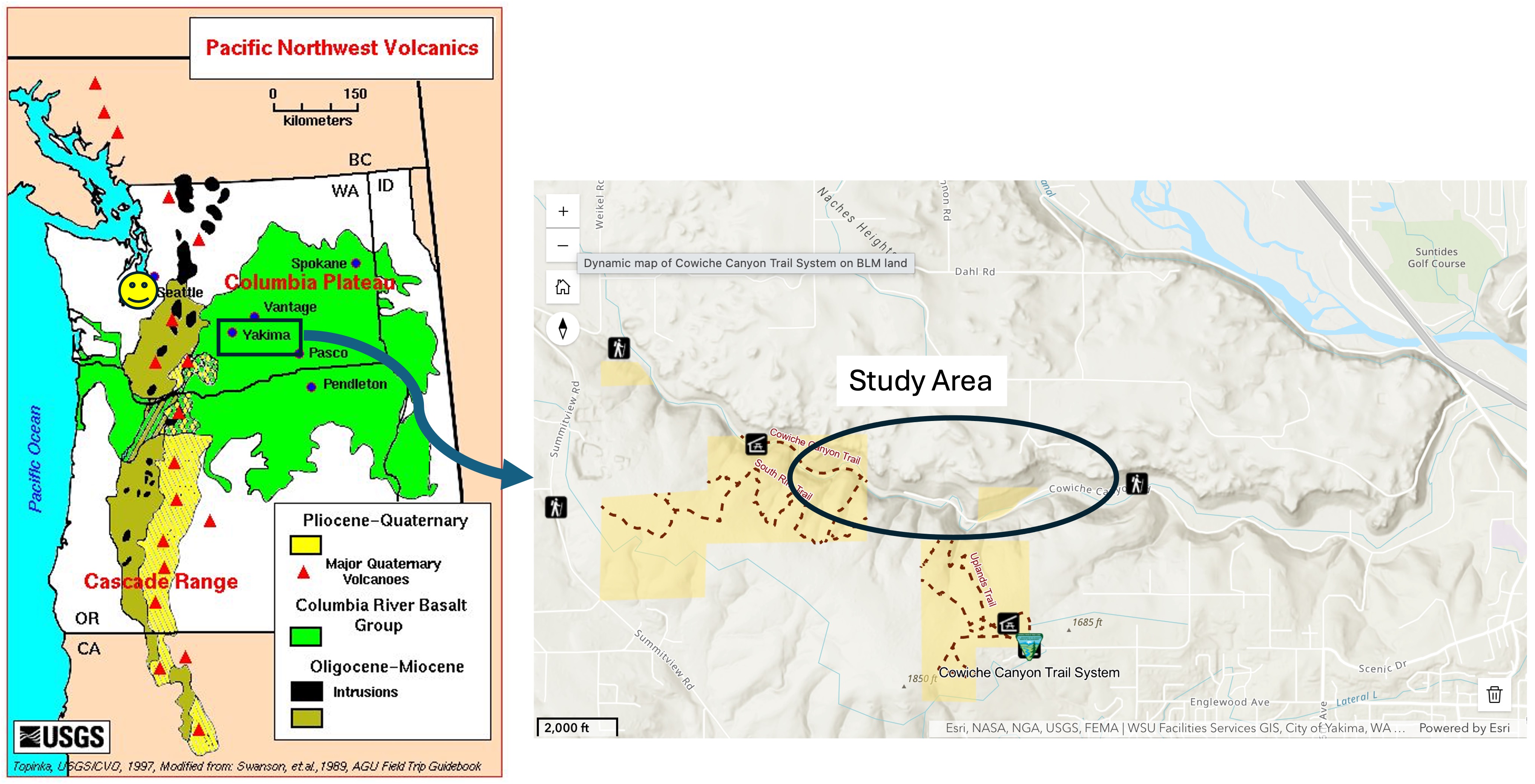
The left panel shows the distribution of Columbia River flood basalts, deposited between 16 and 6 Ma. Yakima and Cowiche Canyon are outlined by a rectangle. These volcanic rocks were erupted in overlapping flows with erosion and landslides occurring between individual layers, which are irregular and not shown in this map. The ages from the USGS national geologic map are Tertiary (66-2.6 Ma). Tacoma is marked by a smiley face.
The right panel shows the Cowiche Canyon trail system and the specific area discussed in this post. The stream itself hosts a riparian habitat whereas the uplands comprise a shrub-steppe environment.
Observations
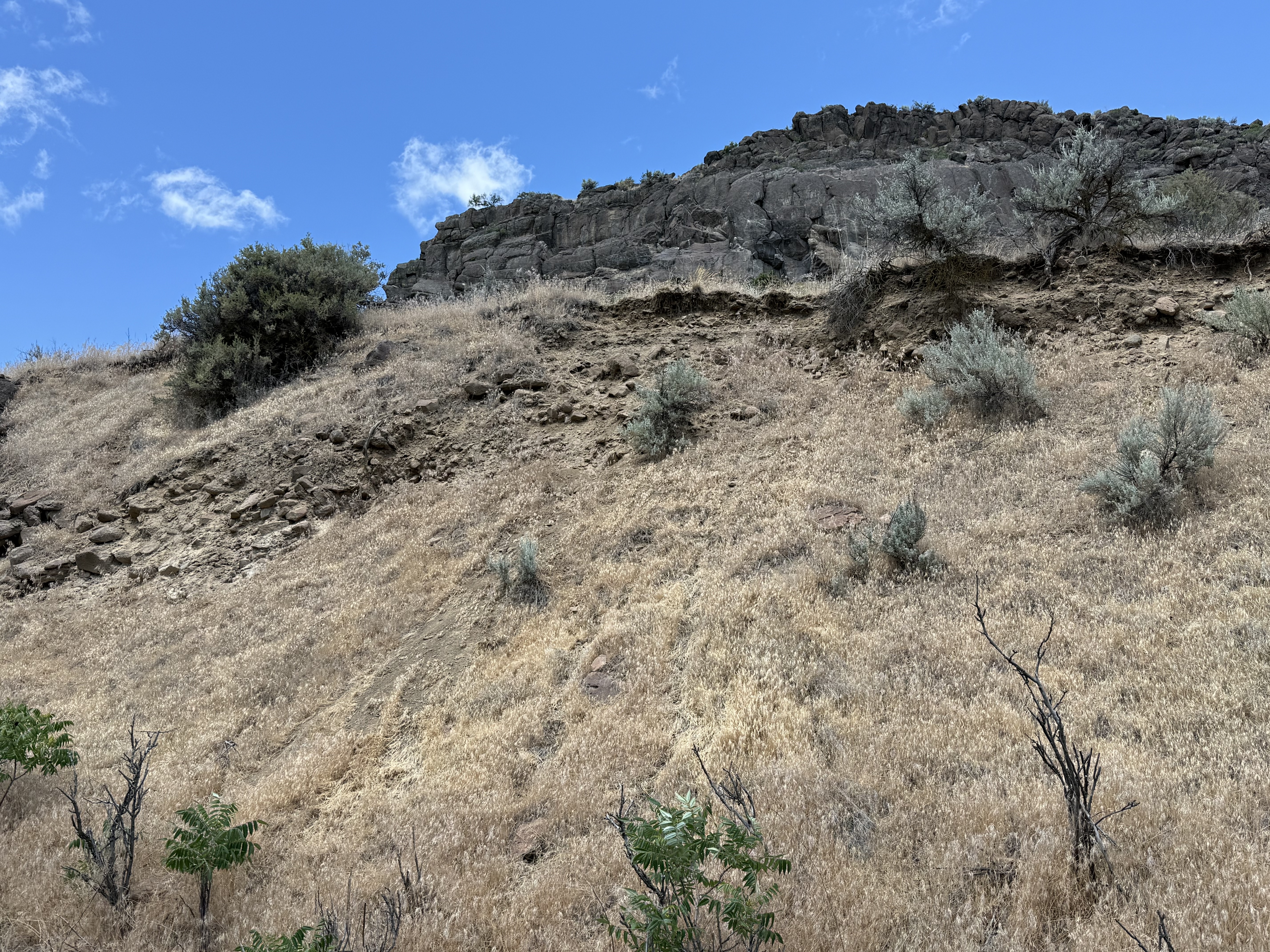
The canyon walls consist of a series of ledges like this with eroded slopes between them. The ledges are erosional margins of basalt flows and the slopes consist of talus and fine sediments weathered from the mafic rocks.
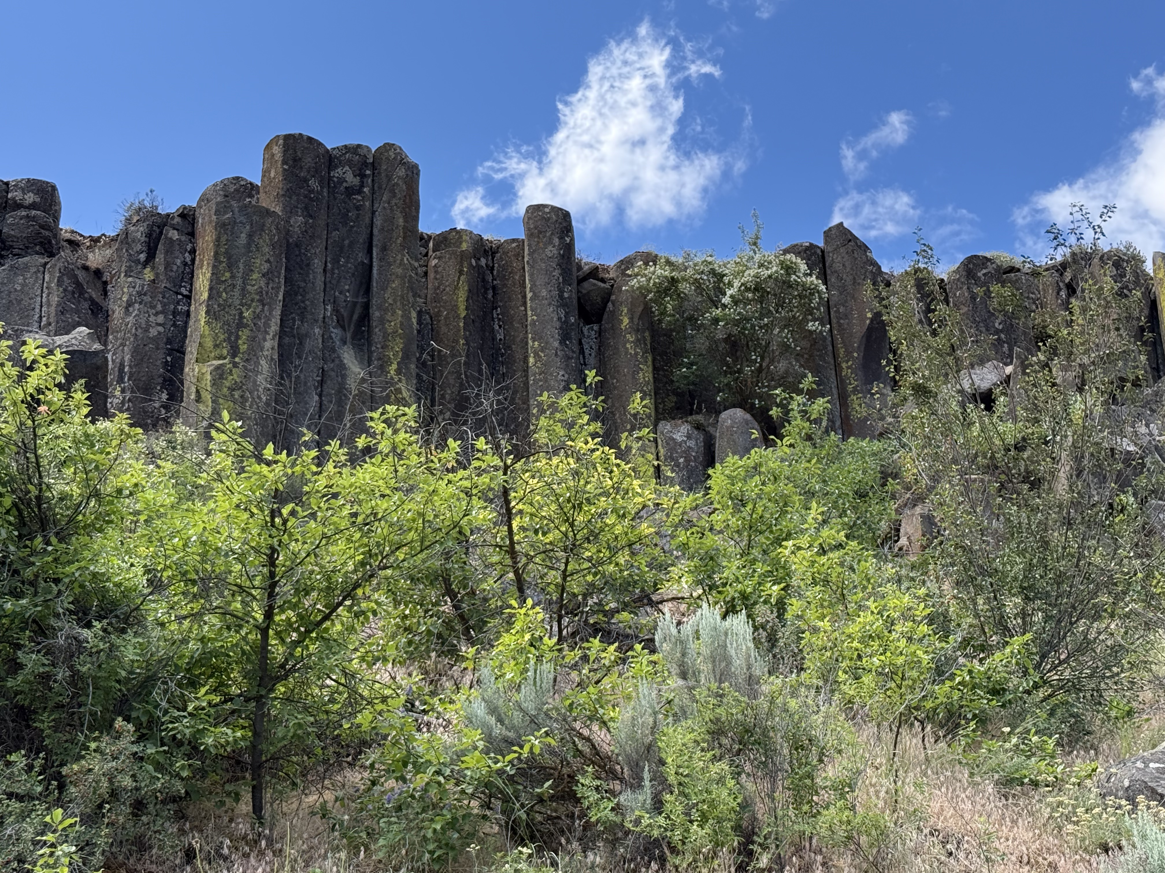
As we traveled west up the canyon, columnar-jointed basalt began to appear in the ledges overlooking the trail. Several pieces had rolled down the slope into the stream bed; these were about three-feet in diameter. Columnar jointing results from slow cooling of a uniform basalt flow, which causes joints to form hexagonal blocks like these because of thermo-mechanical failure during a decrease in volume.
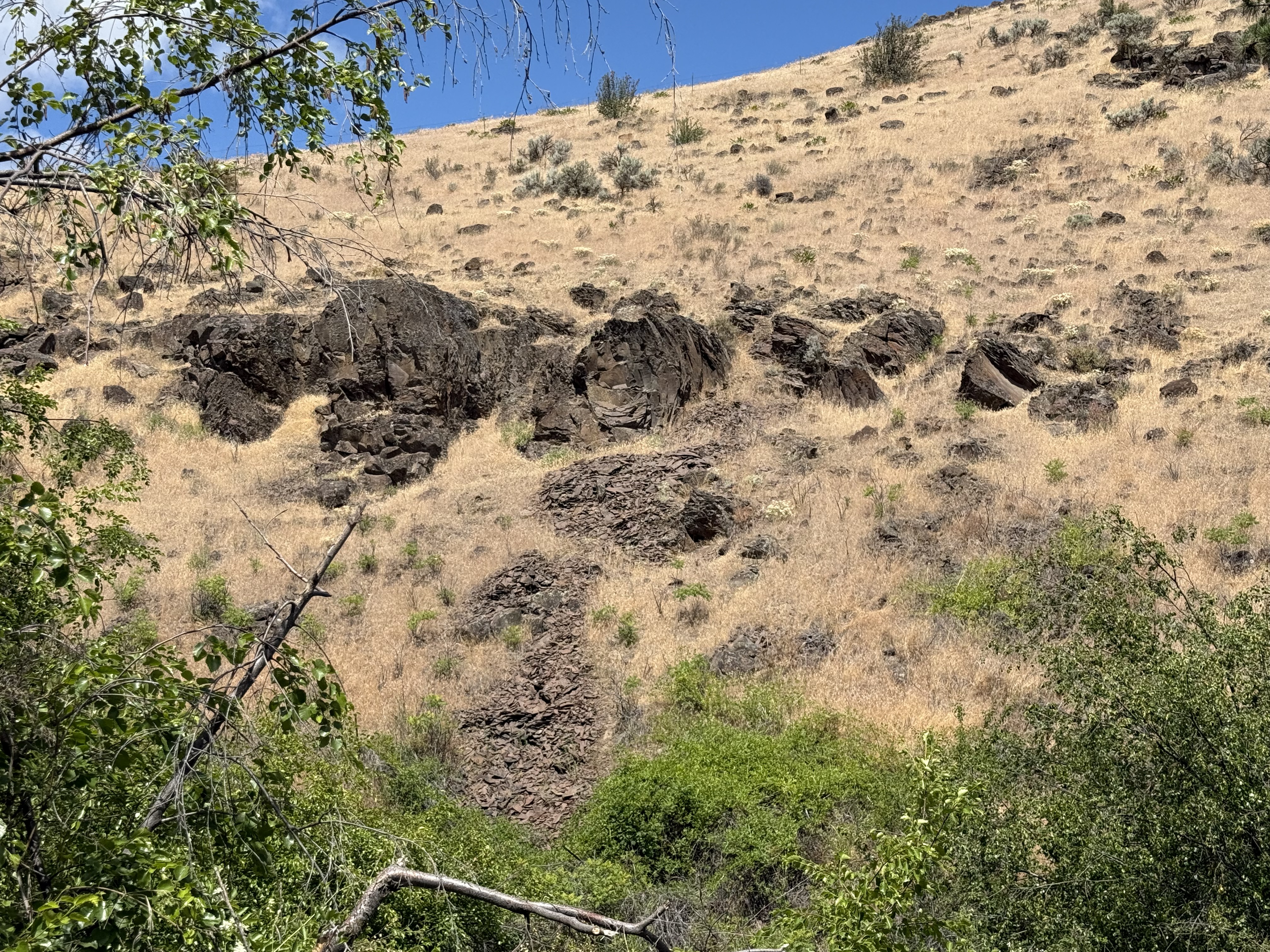
These semi-circular blocks got my attention because, if you look closely, they appear to be eroded hexagons I estimate to be more than six feet in diameter. These are very large basalt columns that have either toppled or…
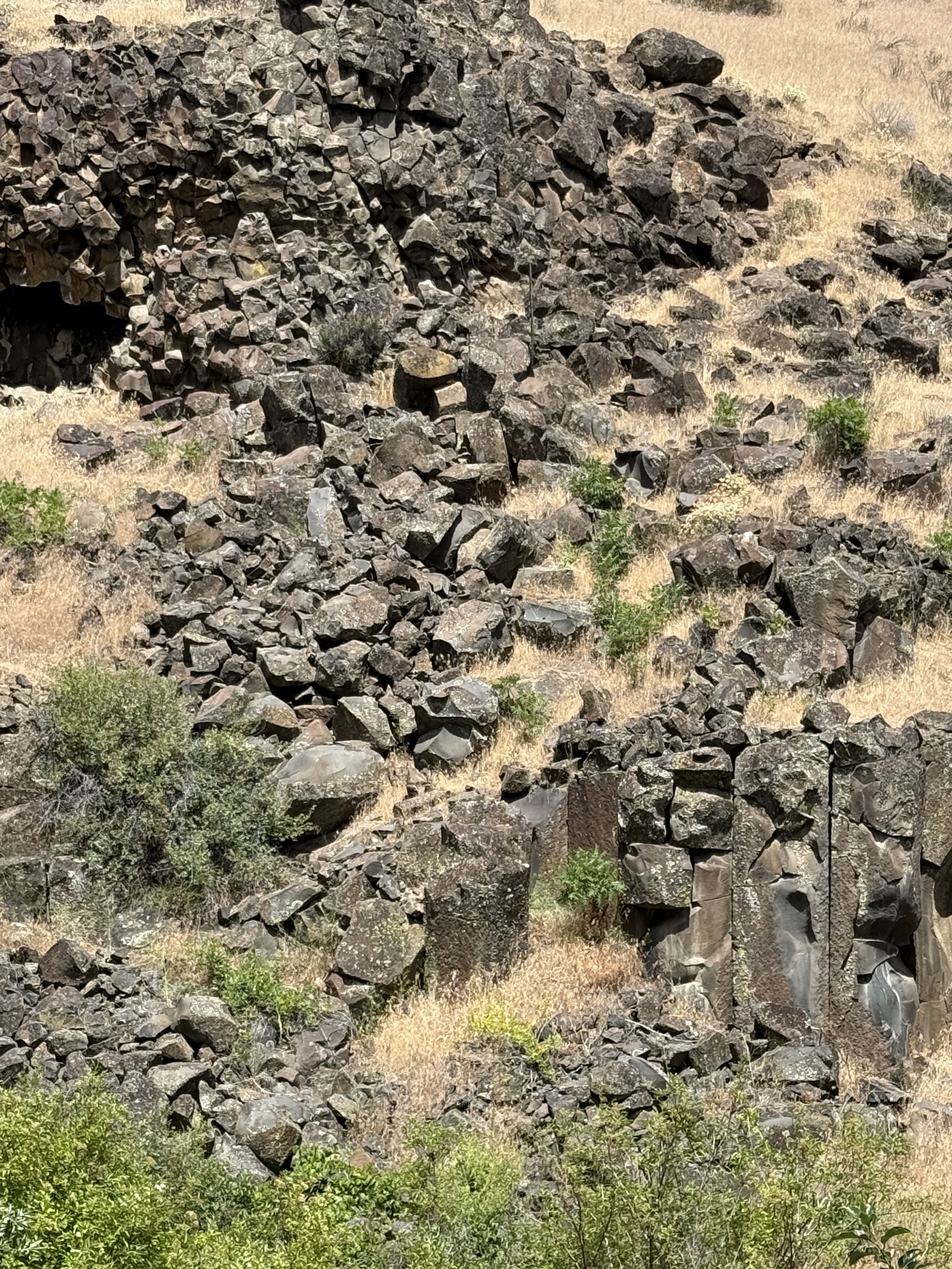
The top of this photo shows a birds-eye view of columnar basalt blocks because of their horizontal position. The size varies from smallest on the left to the largest blocks on the right. I reported on similar, horizontal columnar joints in a previous post and proposed that the lava flowed down a slope before solidifying.
The lower-right part reveals columnar basalt in a vertical position. This juxtaposition suggests (if my model is correct) that the lava from multiple flows covered an irregular landscape–sometimes flowing into canyons like Cowiche Canyon, and somtimes over fairly level ground.

This remarkable set of columnar joints got my attention because of their undulating form. I’ve never seen anything like this before. This style of jointing (supposedly) results from uneven cooling and weathering; for example, a heavy load on the layer during cooling leads to pinching and swelling at fairly uniform spacing. That sounds reasonable to me.
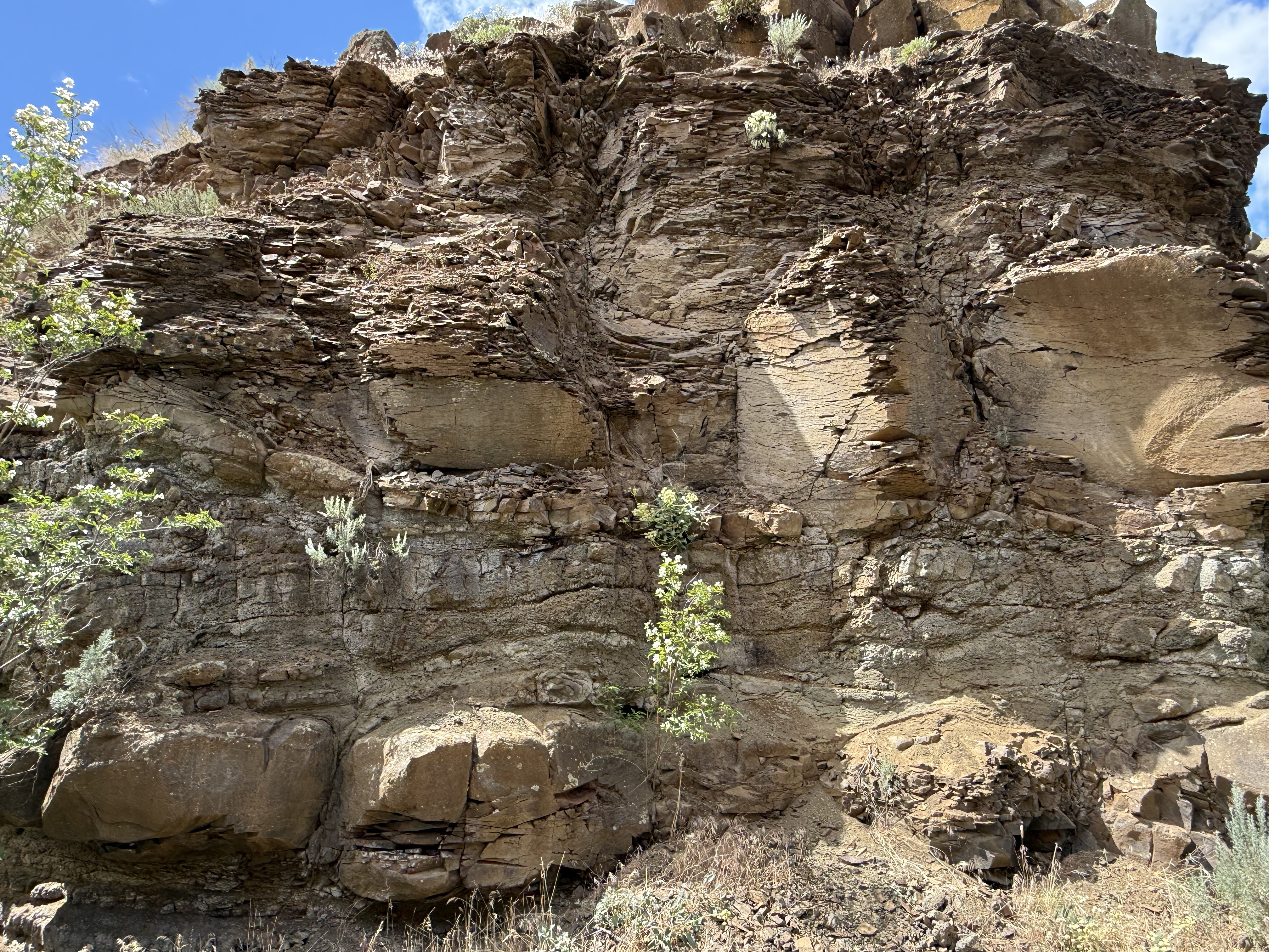
Another weathering feature of these rocks is the fissile structure revealed in this image. More solid blocks are interspersed with flaky layers, possibly (I’m speculating here) associated with necked and wider segments of an individual column. For example, the wider sections might undergo shear during stretching, resulting in microscopic shear layers within the minerals comprising the original lava. These weak layers would permit water to penetrate and weather the mafic minerals of which basalt is made.
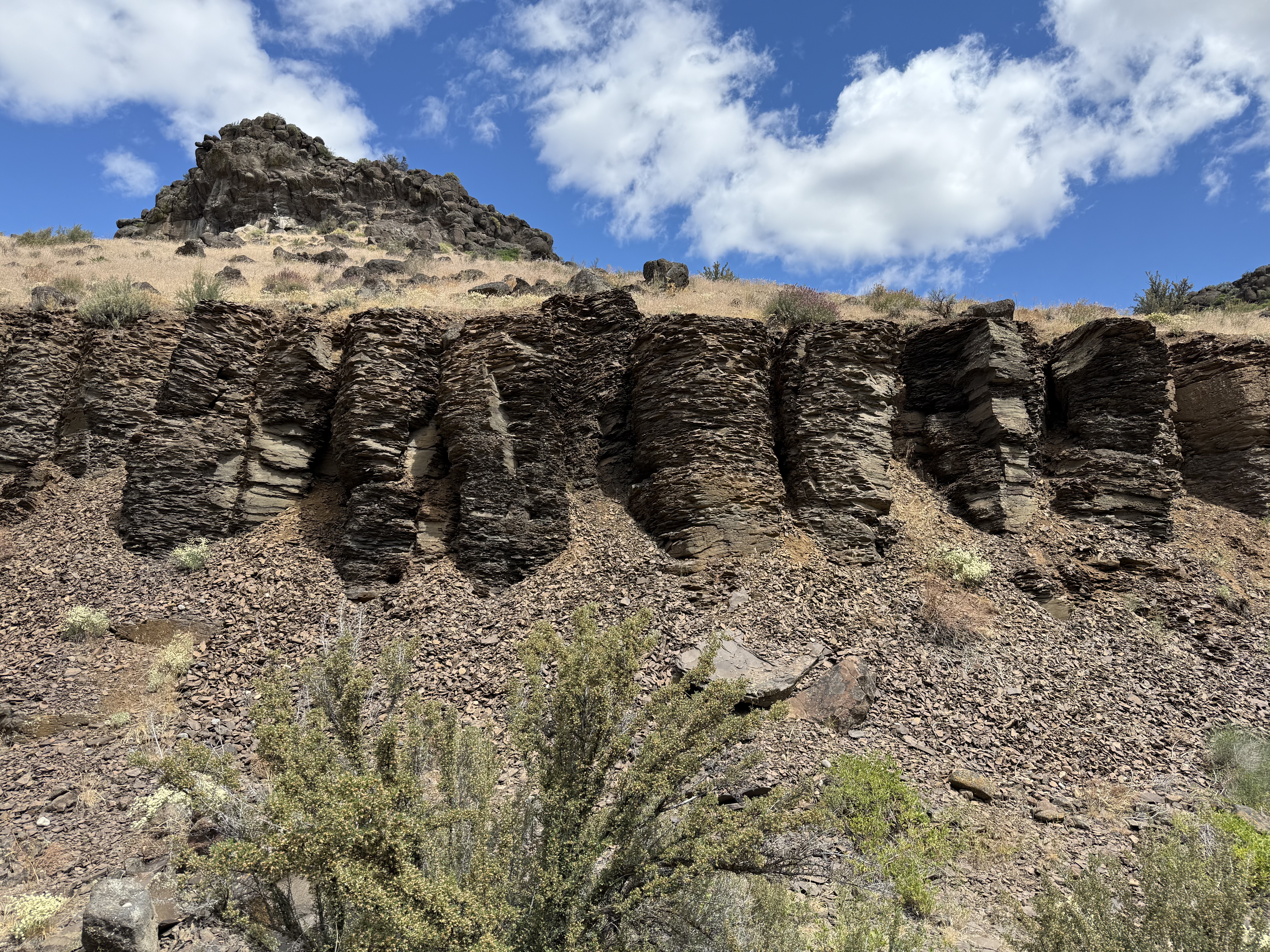
These highly weathered columns are more than six-feet in height. They suggests an alternative mechanism, shear from flowing as the basalt cooled; this might disrupt the microscopic structure without interrupting the macroscopic jointing process. Maybe…
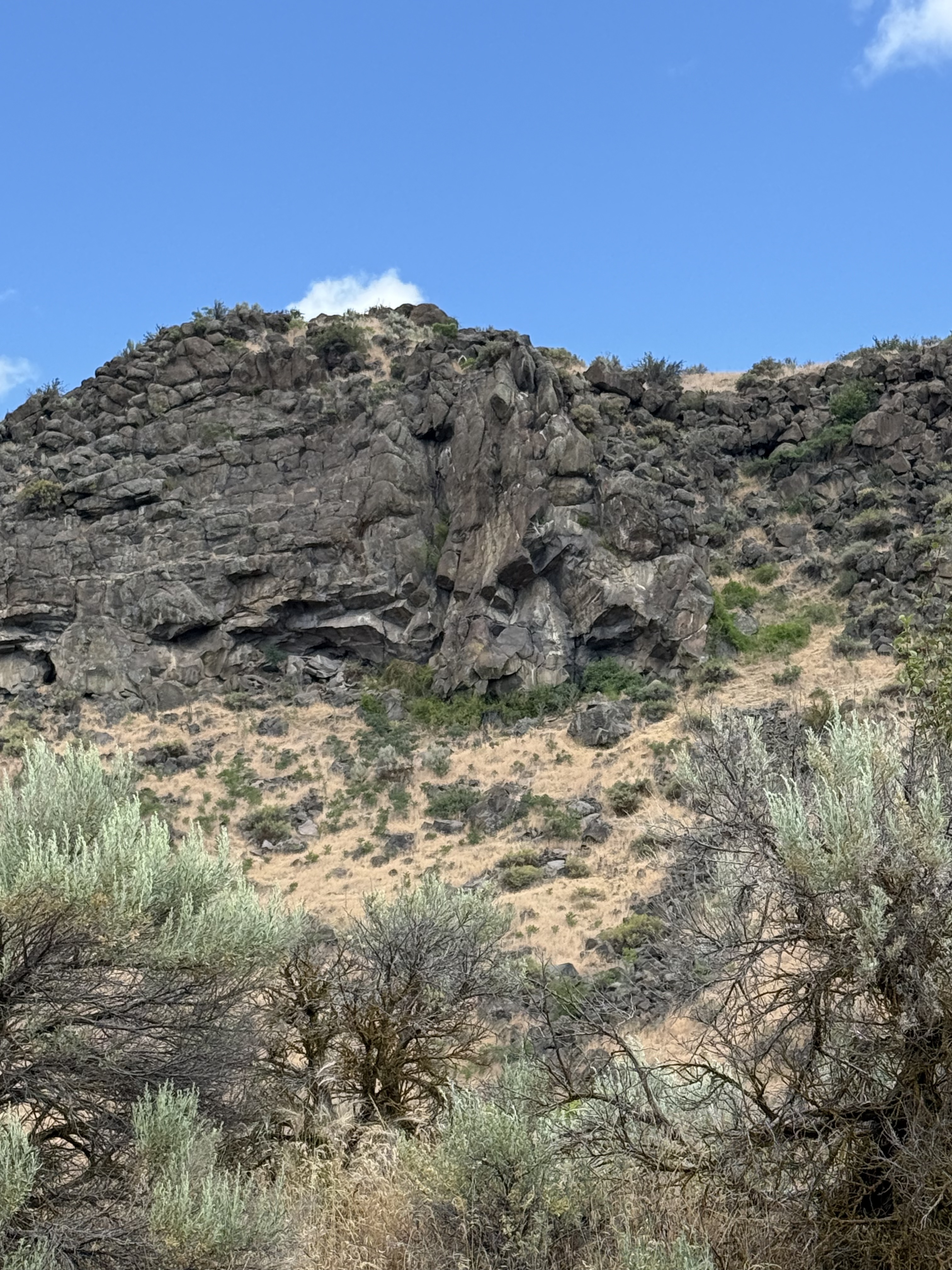
This photo really got my attention. It reveals horizontal columnar joints abutting vertical ones in the upper-center of the image. There’s a lot going on as hot lava flows over an irregular landscape, but I think this is a vent where more magma flowed out; not a large eruption, but enough to have a separate cooling history from the rock it penetrated. I should note that the Columbia River basalts flowed from fissures rather than point sources like volcanoes. The entire area shown in the map above was cut by fissures that led to a shallow magma chamber, which is still down there although it has probably solidified by now. Or not…
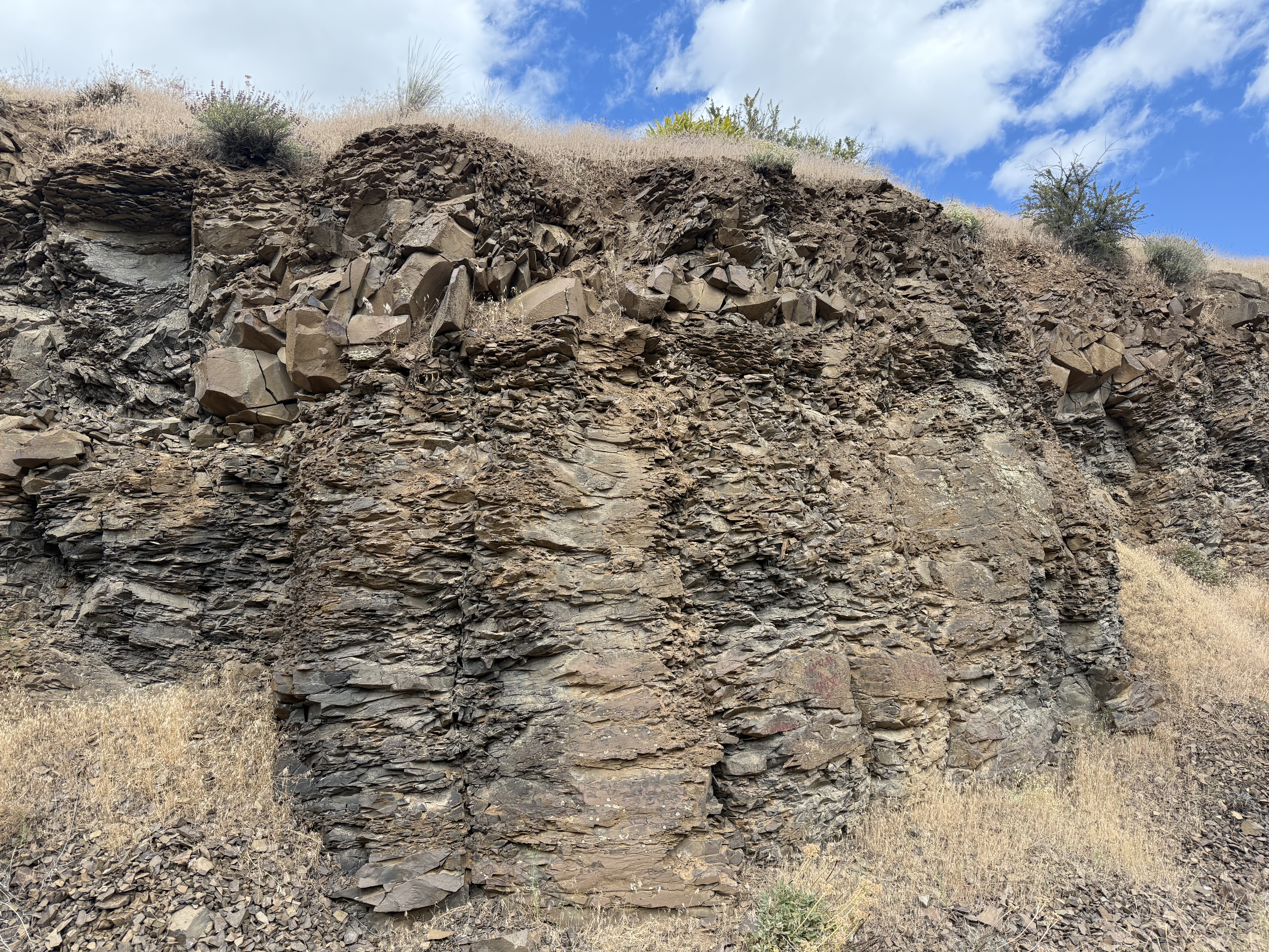
I like this picture because it reveals how much weathering can change the appearance of what was once molten lava in only a few million years. Note the layer of angular blocks sandwiched between weathered columns.
Conclusions
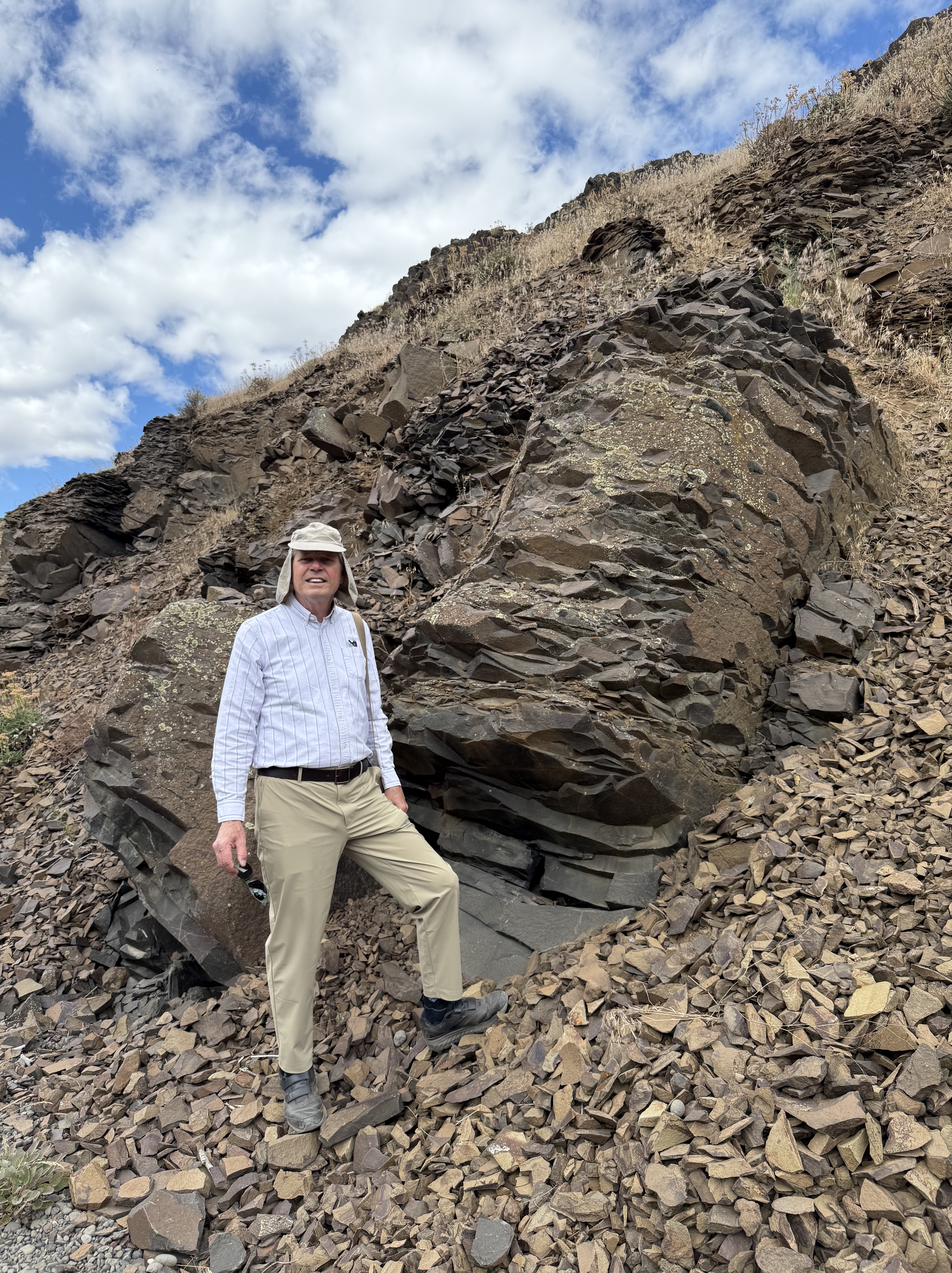
This is a typical basalt column that isn’t as weathered as some of the others. All those shards I’m standing on resulted from the breakdown of the rock by water seeping into its internal structure, where it altered the mafic minerals (e.g. pyroxene, plagioclase feldspar, biotite), which are susceptible to chemical weathering. This is where all the mud in the world comes from.
It was a great day to drive over the Cascades at Chinook Pass, where it snowed on us (in June), and explore the Columbia plateau. I’ve never seen so much variability in basalts before. The magma chamber underlying central Washington was a giant chemical reactor that released pressure by erupting a mix of fluids that cooled to form minerals and then these magnificent rocks. These rocks tell us how the magma chamber evolved over several million years; and once they were exposed to the atmosphere, they began to record the slow process of being reduced back to their basic constituents (fine-grained minerals like clay), which can remain suspended in water and begin their long and perilous journey to their final resting place–sometimes a lake but, ultimately, the ocean.
Everything eventually returns to the sea…
Point Defiance Rose Garden
Spring is a great time to be outdoors in the Pacific Northwest, so we visited the rose garden at Point Defiance park, which is more than 130 years old. It had a full-time gardener until the 70s, who lived in a house on the grounds. I forgot to take a photo of it. Not very exciting, but I found myself drawn to the amazing colors and shapes of so many flowers in bloom at the same time.
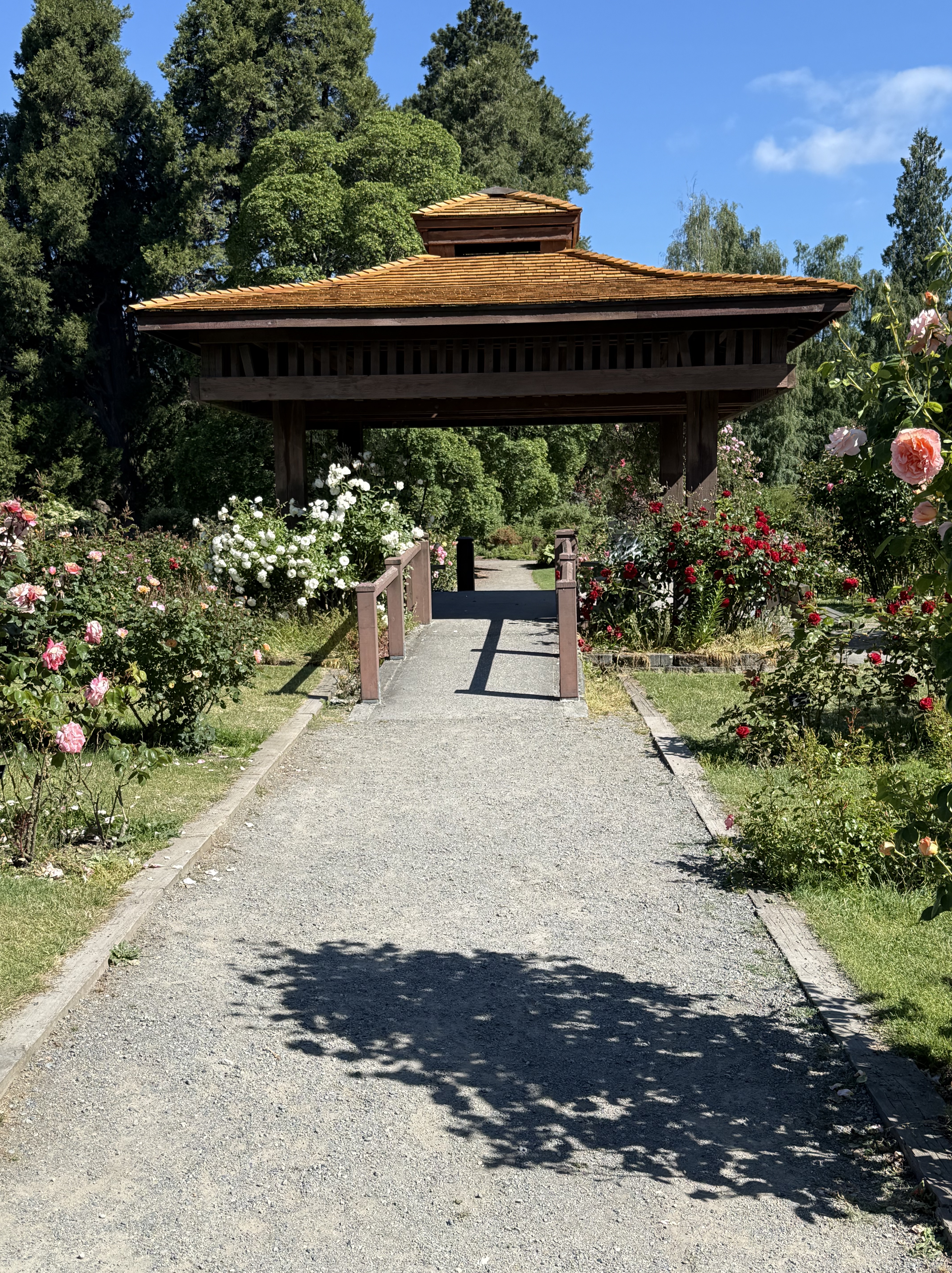
This is the central pagoda of the rose garden, which is arranged in concentric rows around it. The design philosophy of the first master gardener (Ebenezer Roberts) was more natural rather than highly organized, and that’s how the garden has remained through time.
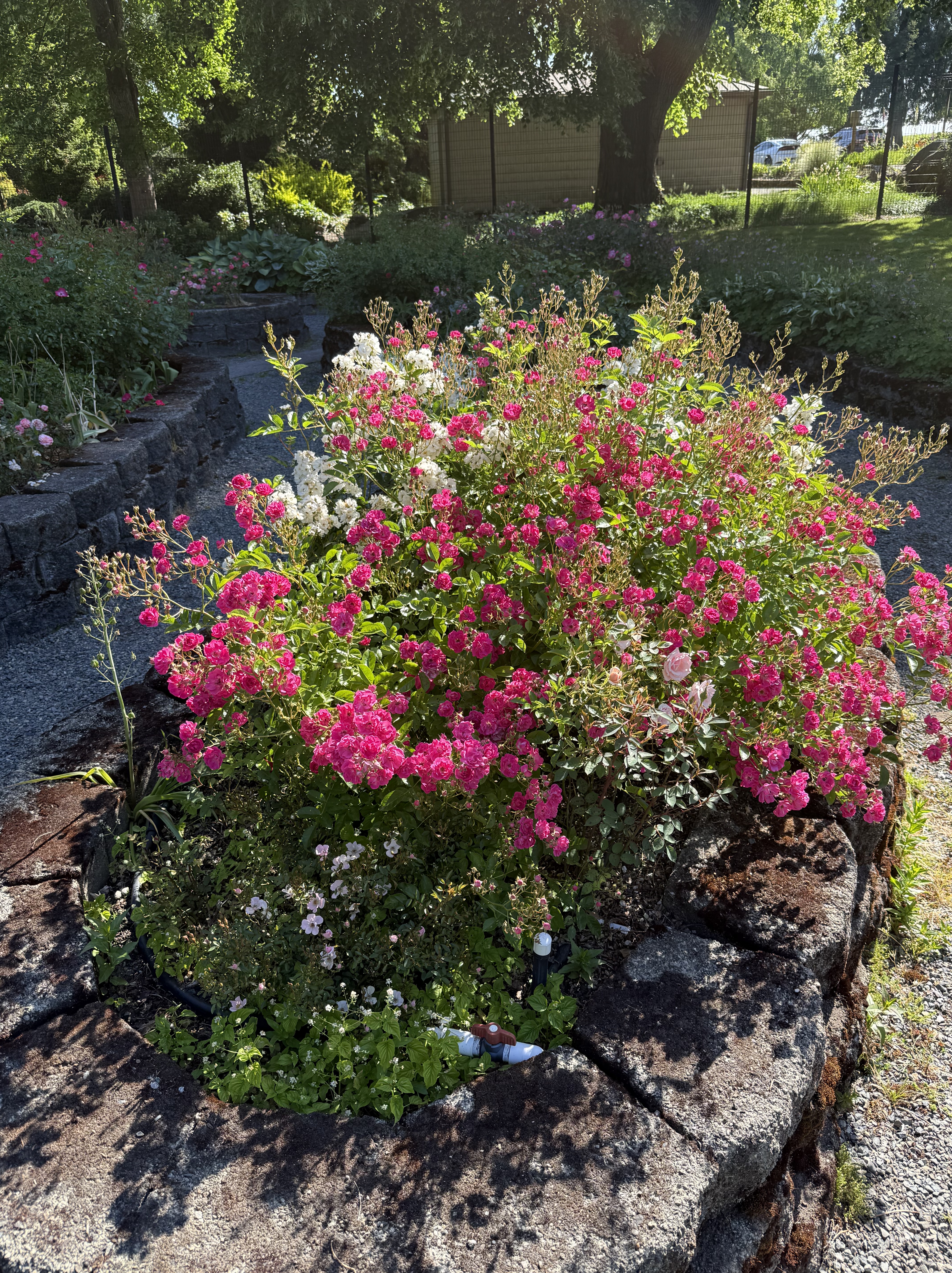
This jumble of color is typical of the rose garden on a spring day.
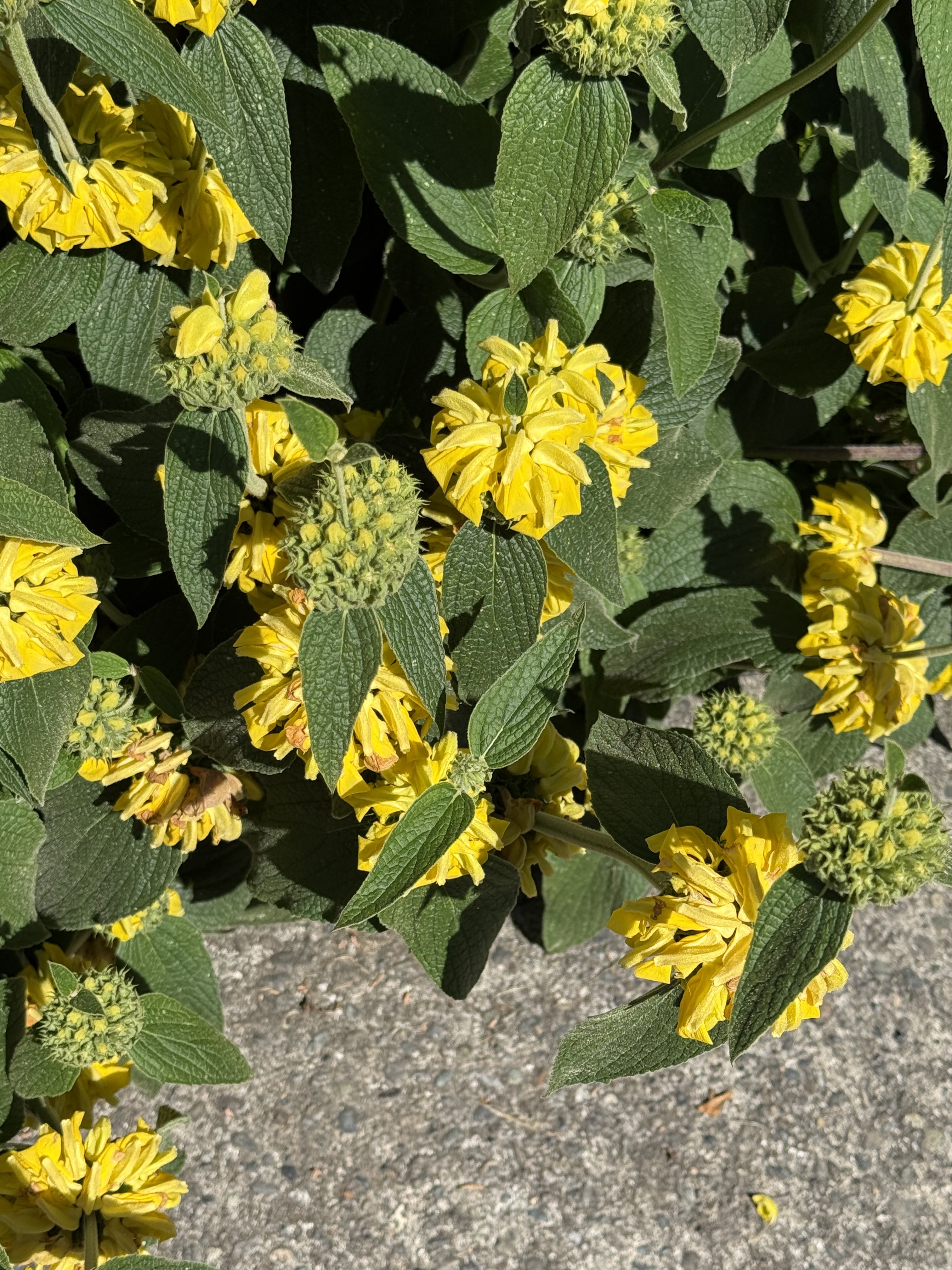
They had more than roses in the rose garden. This is Jerusalem Sage or Phlomis fruticosa,. It appears to be in full bloom.
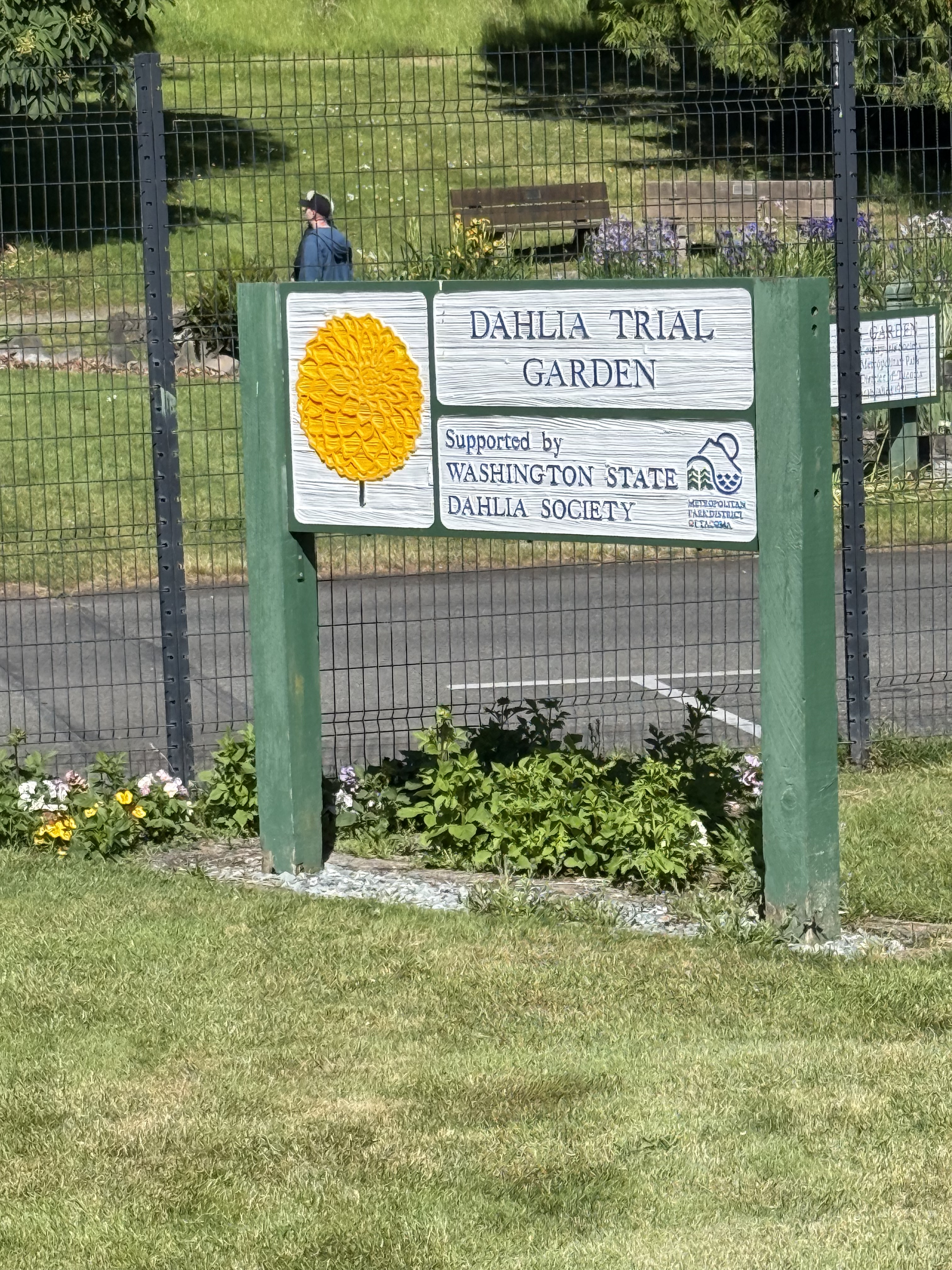
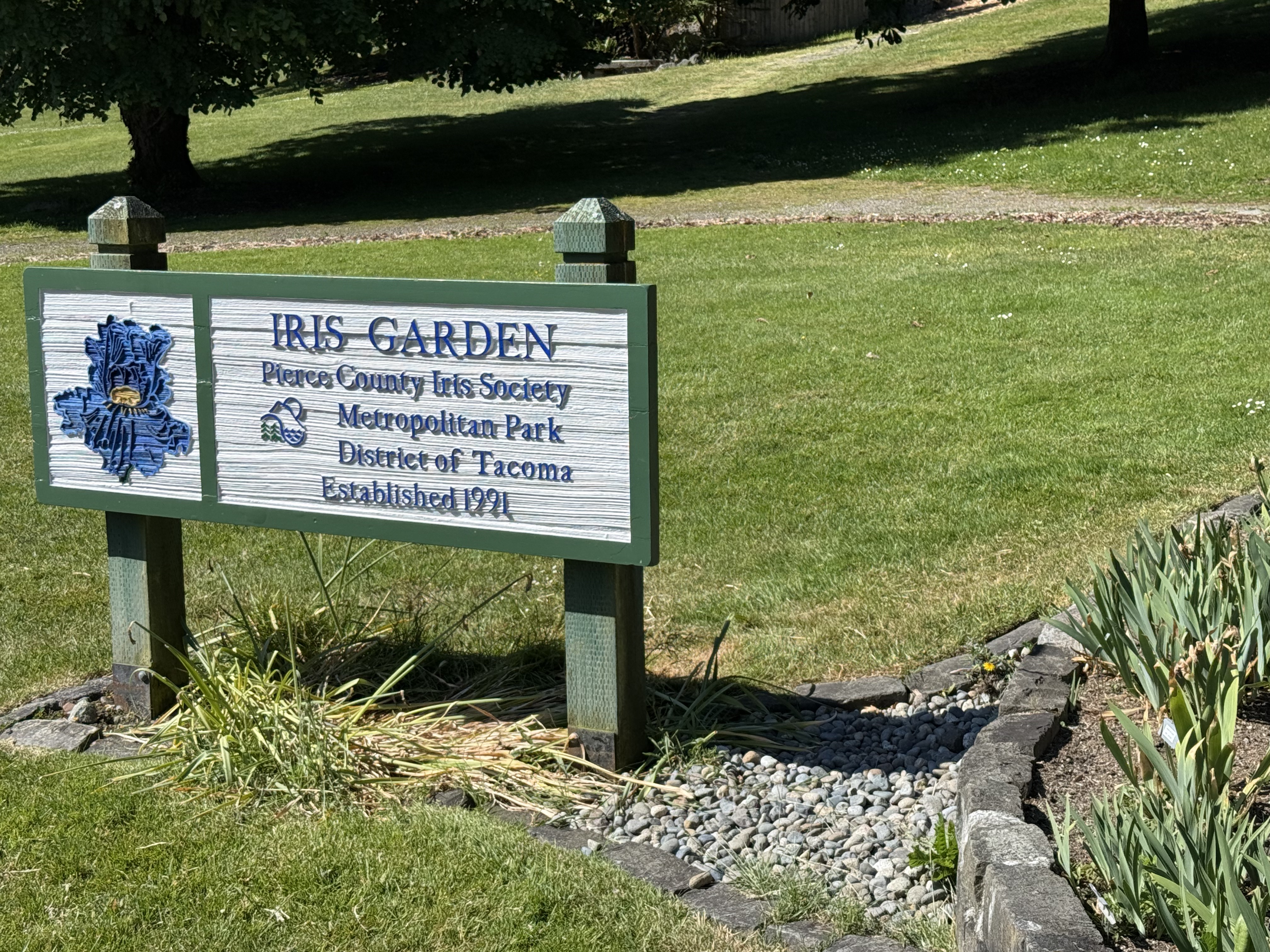
I never suspected there was a state society for a flower, but they had planted rows of numbered plants in a portion of the rose garden. The fence is to keep out the deer, which devour, stomp, and basically destroy flowering plants.
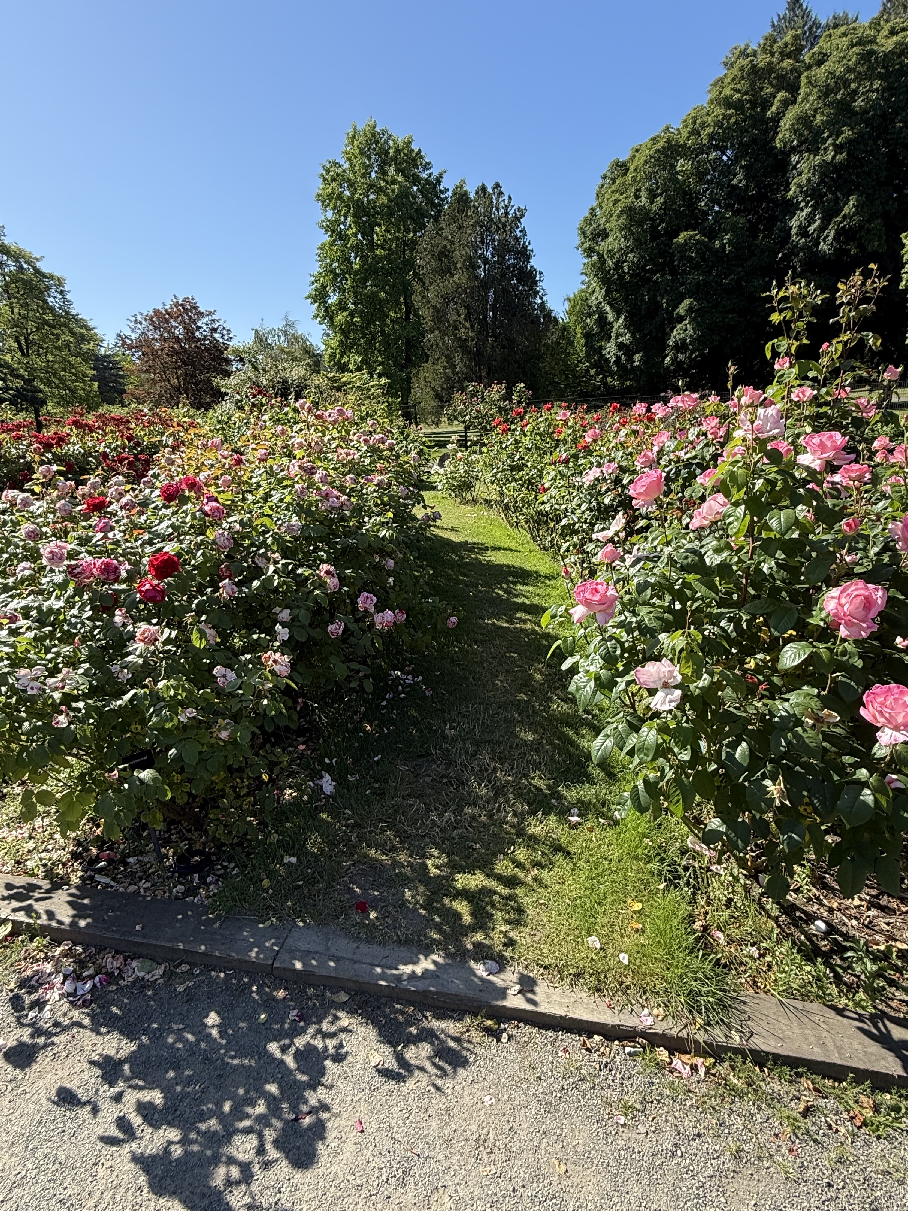
The rose beds are arranged concentrically around the center, but they are mixed up by variety. I’ll just show some photos of the gorgeous blooms we saw.
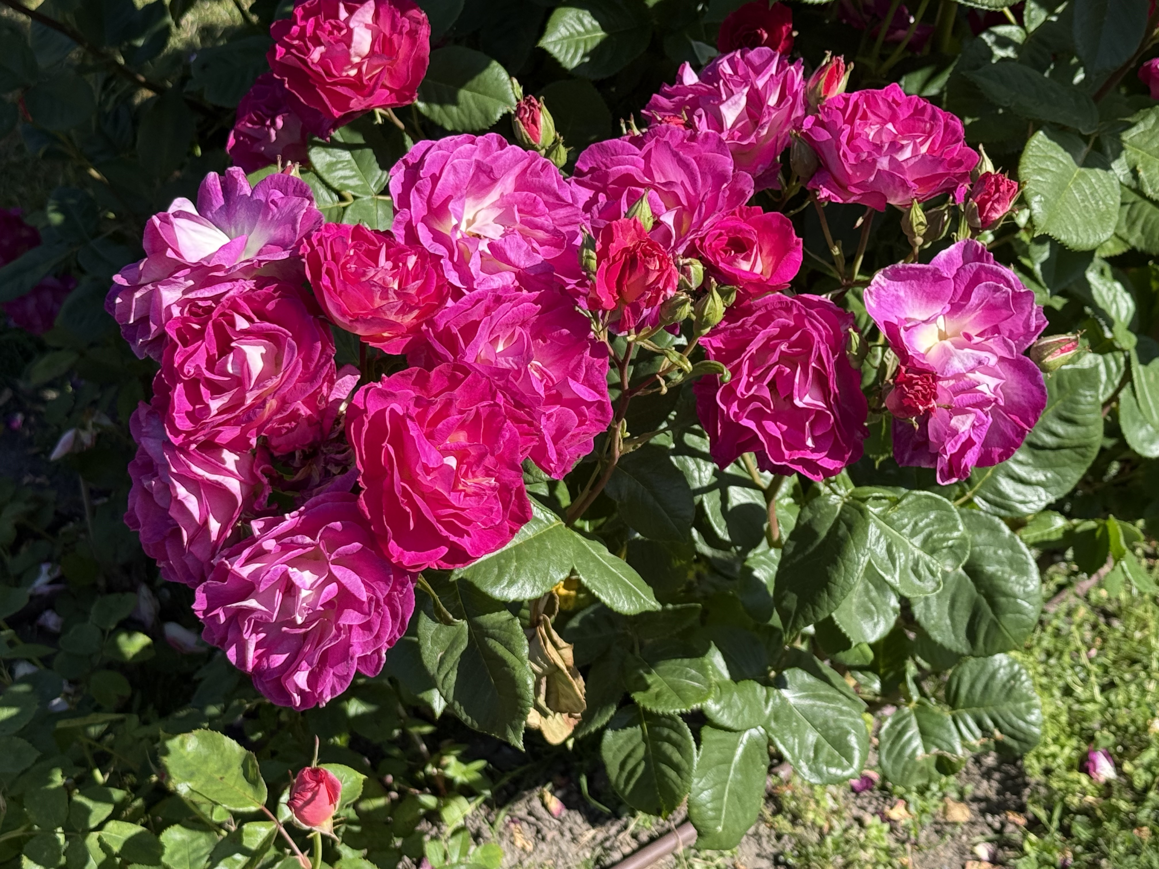
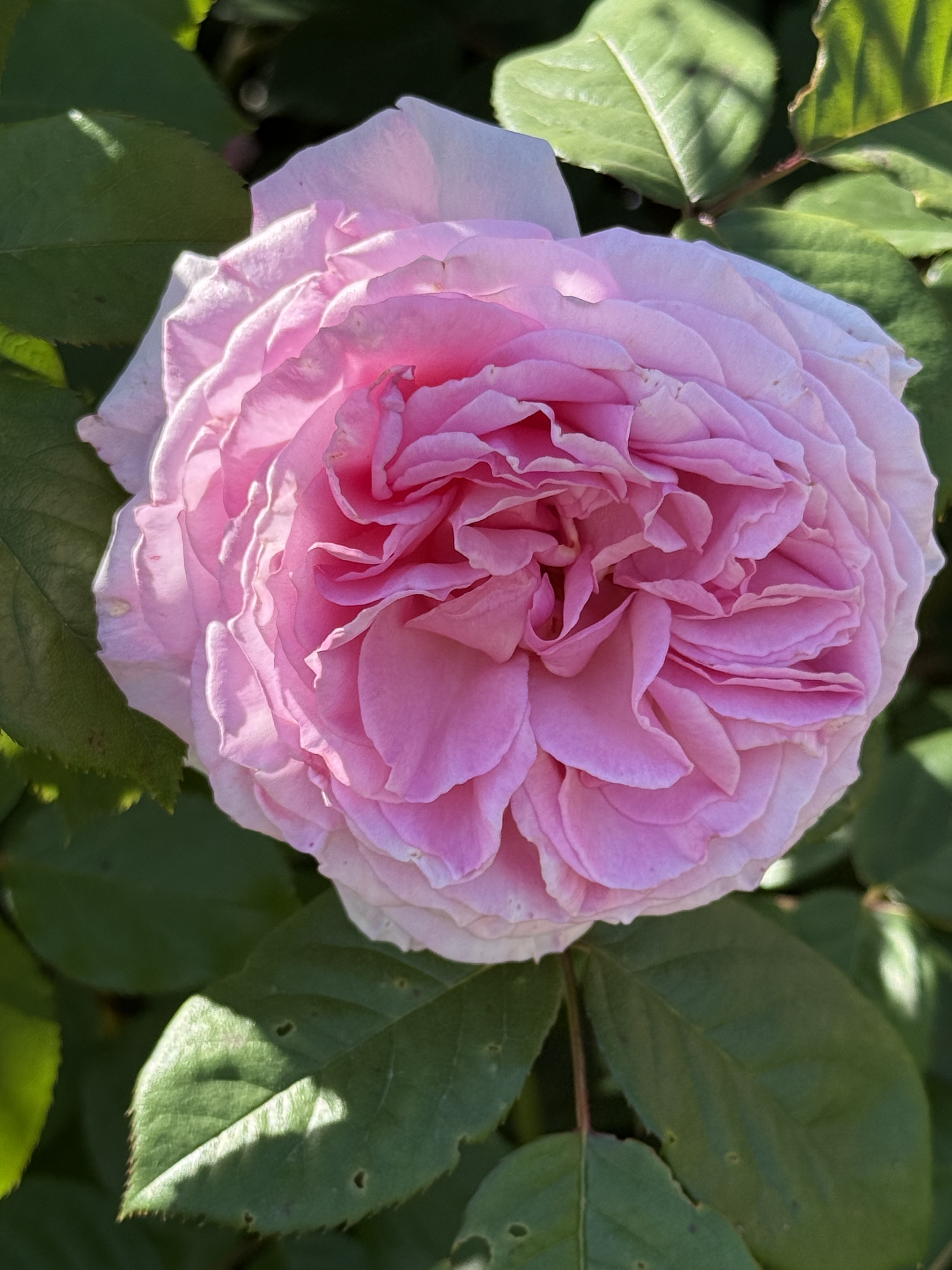
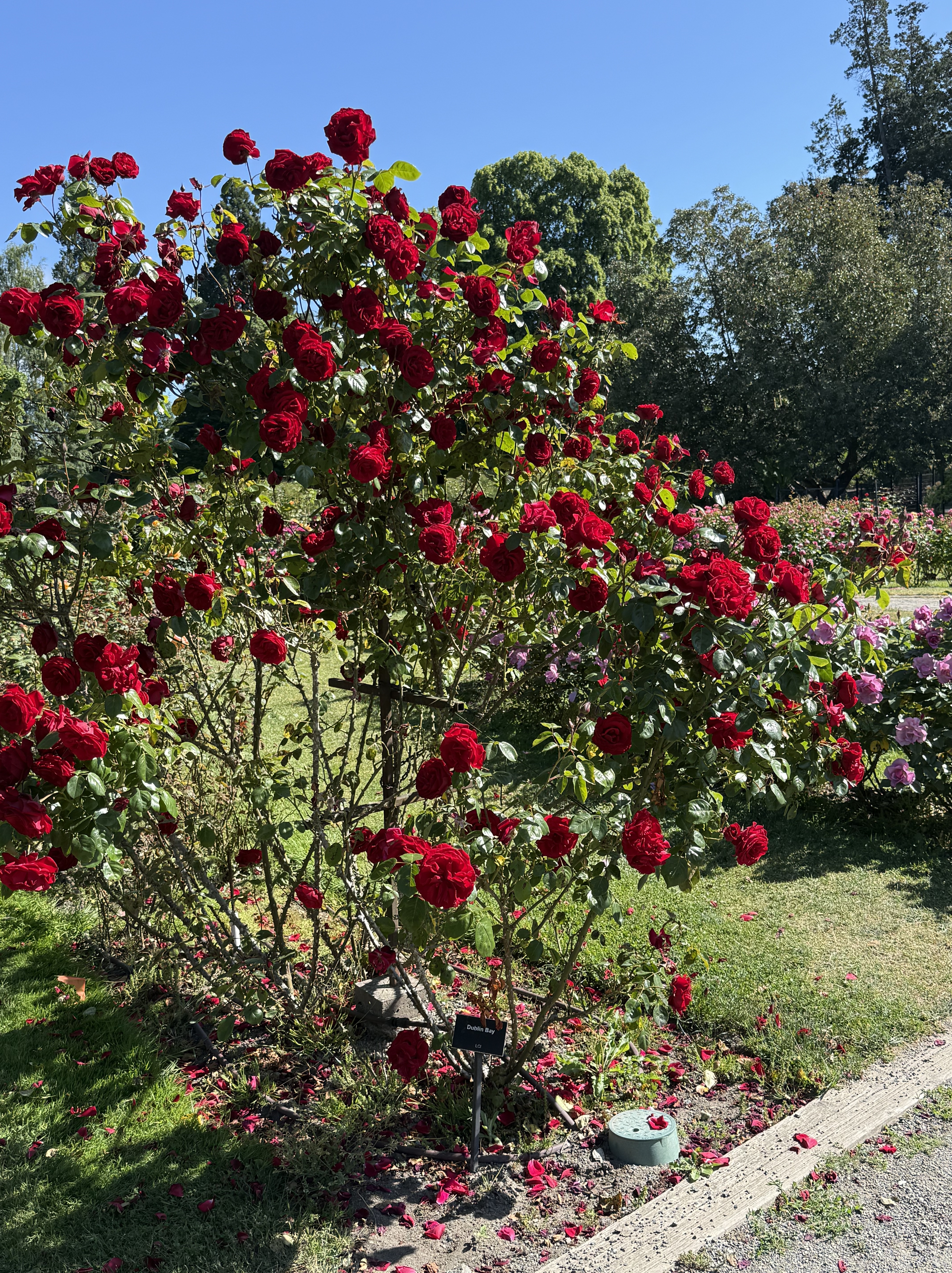
This Dublin Bay variety is distinctive because it has strong stalks and grows high, concentrating growth on the ends of very thorny branches.
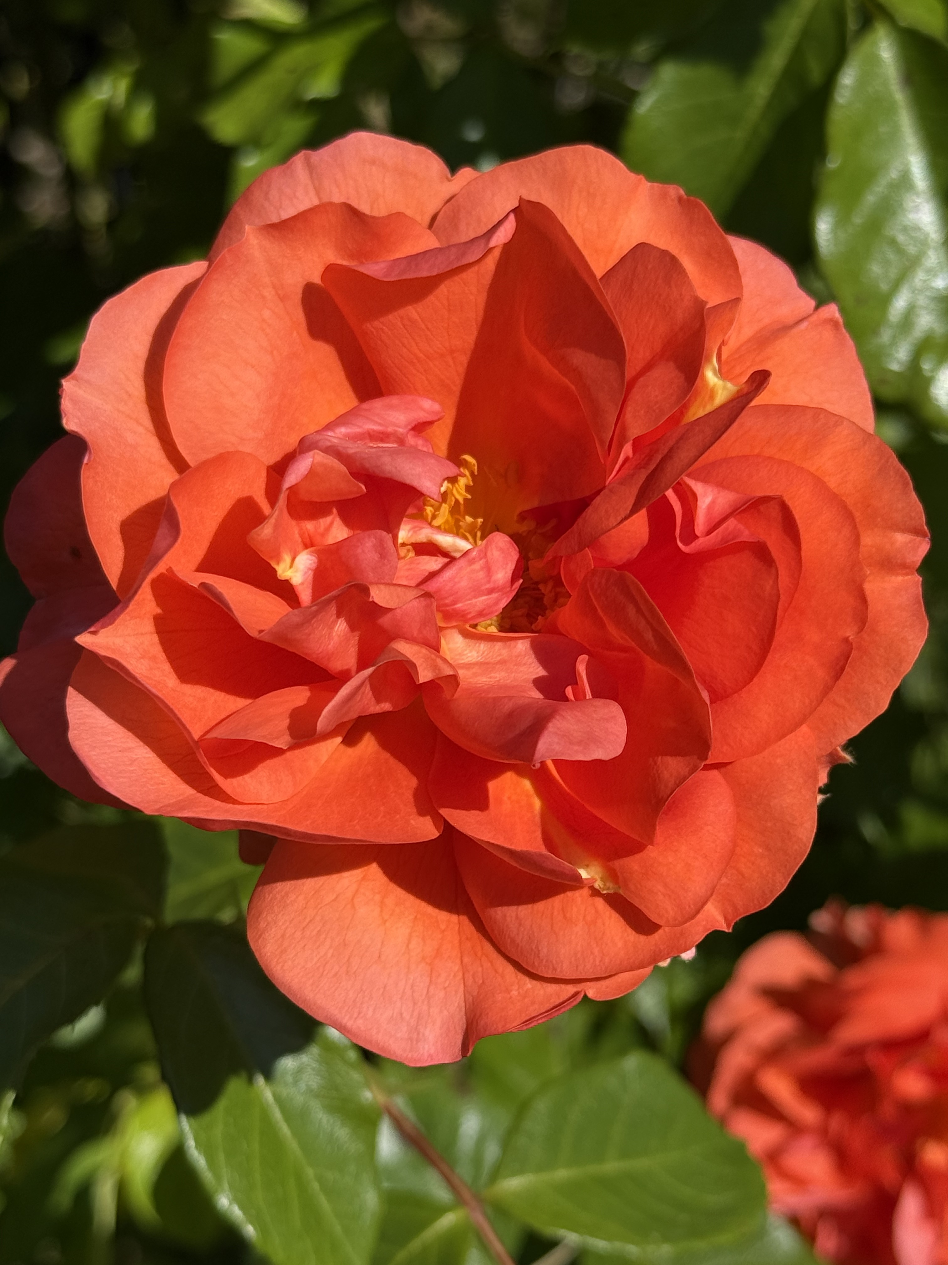
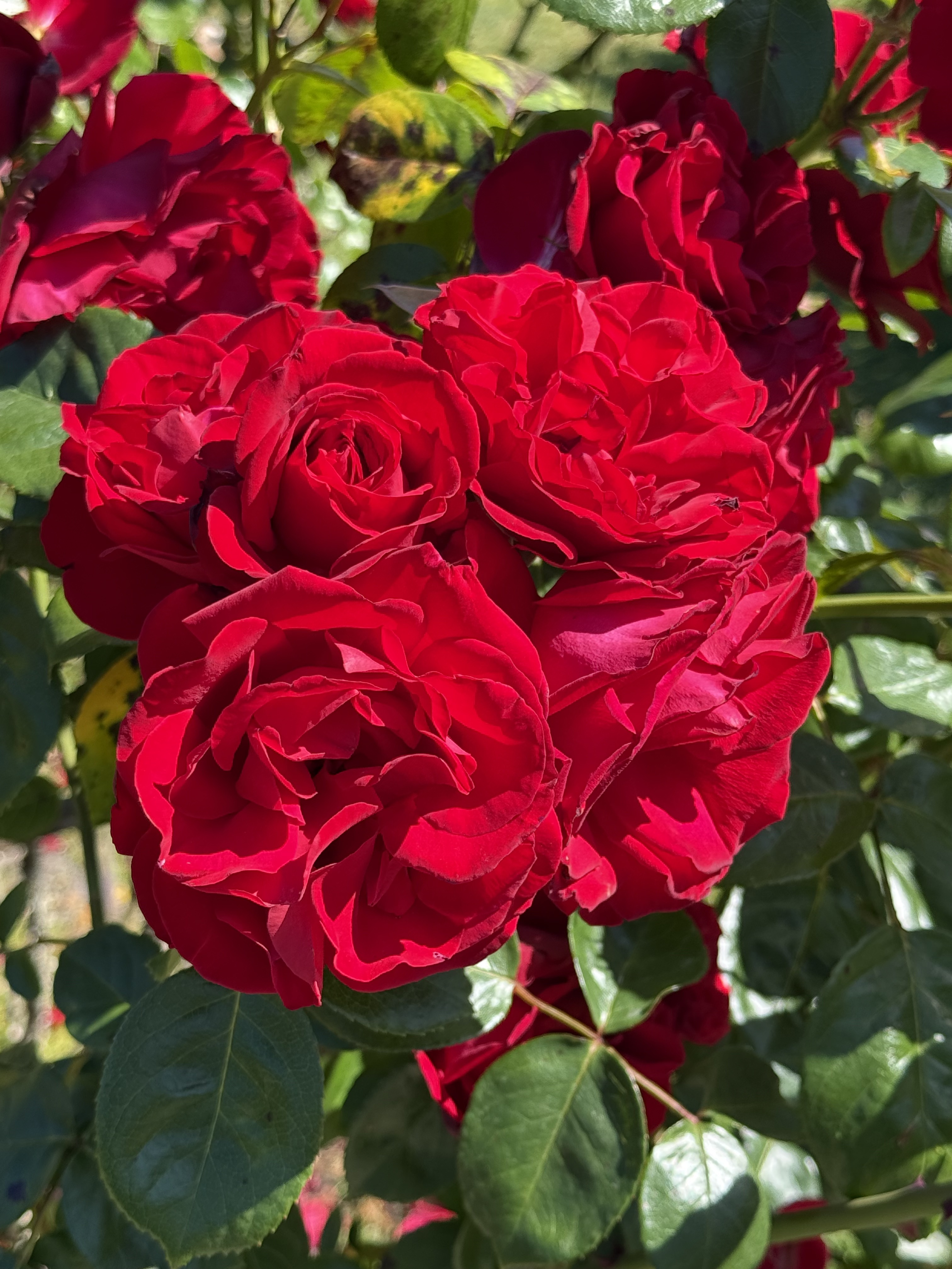
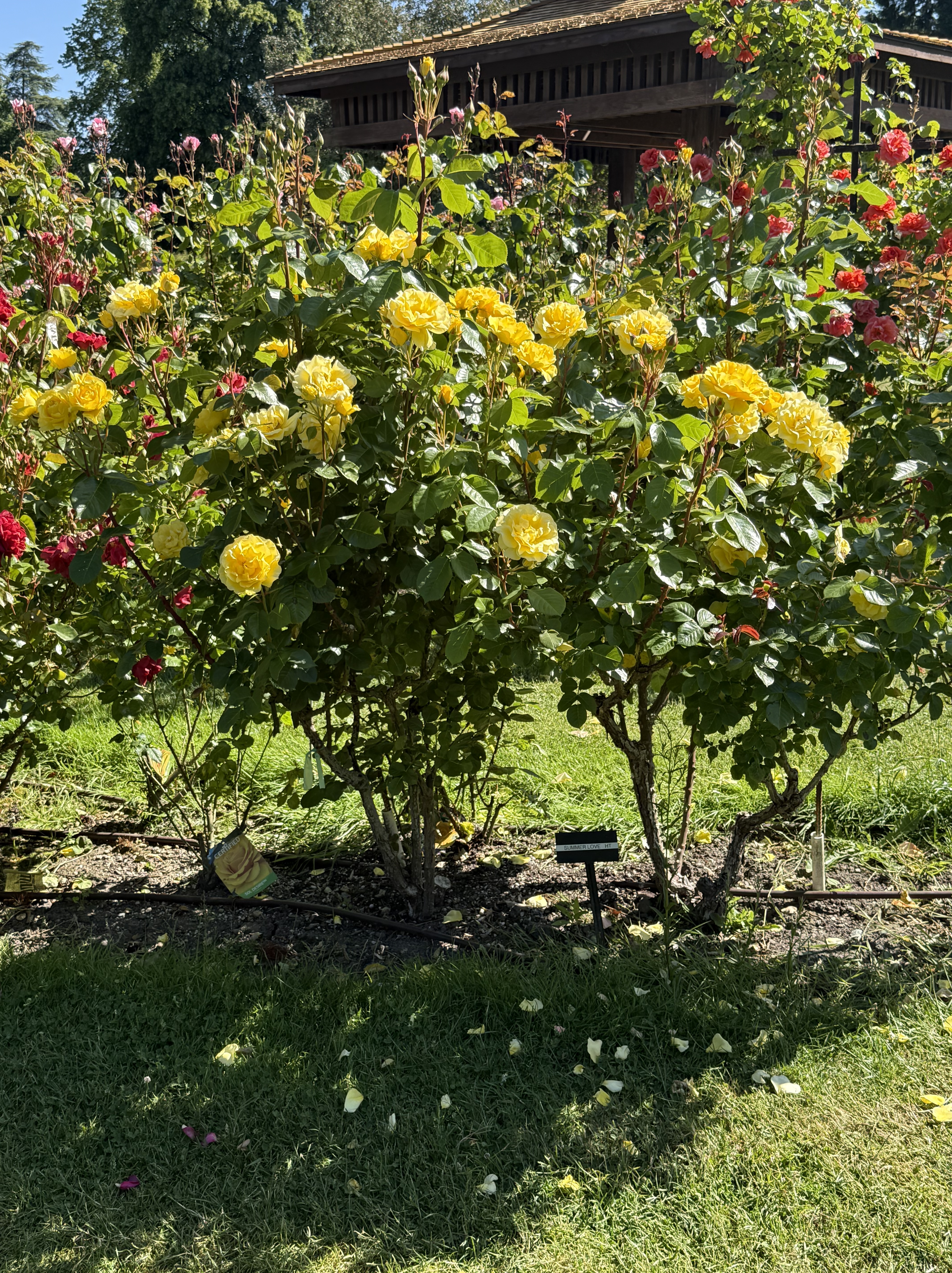
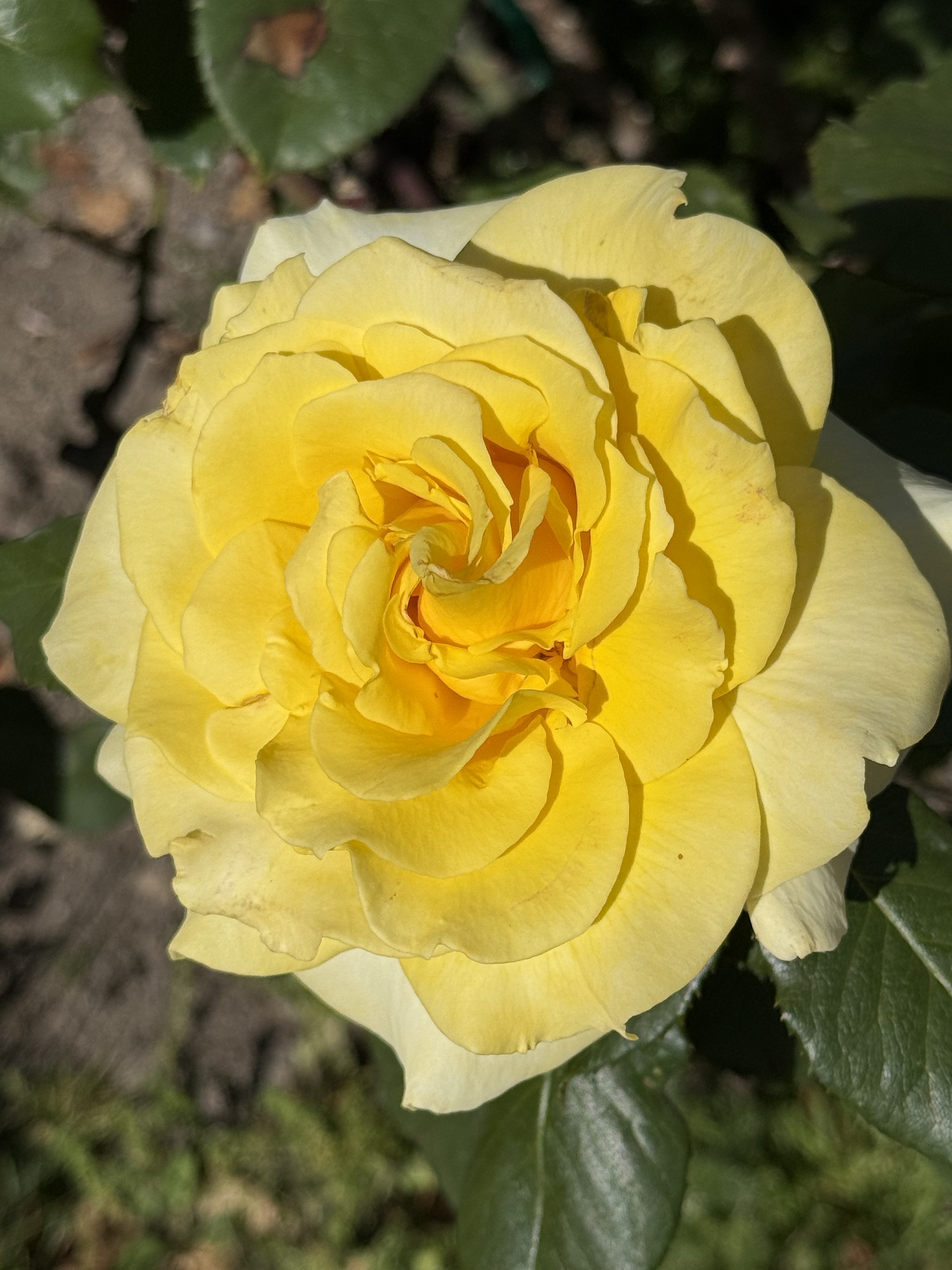
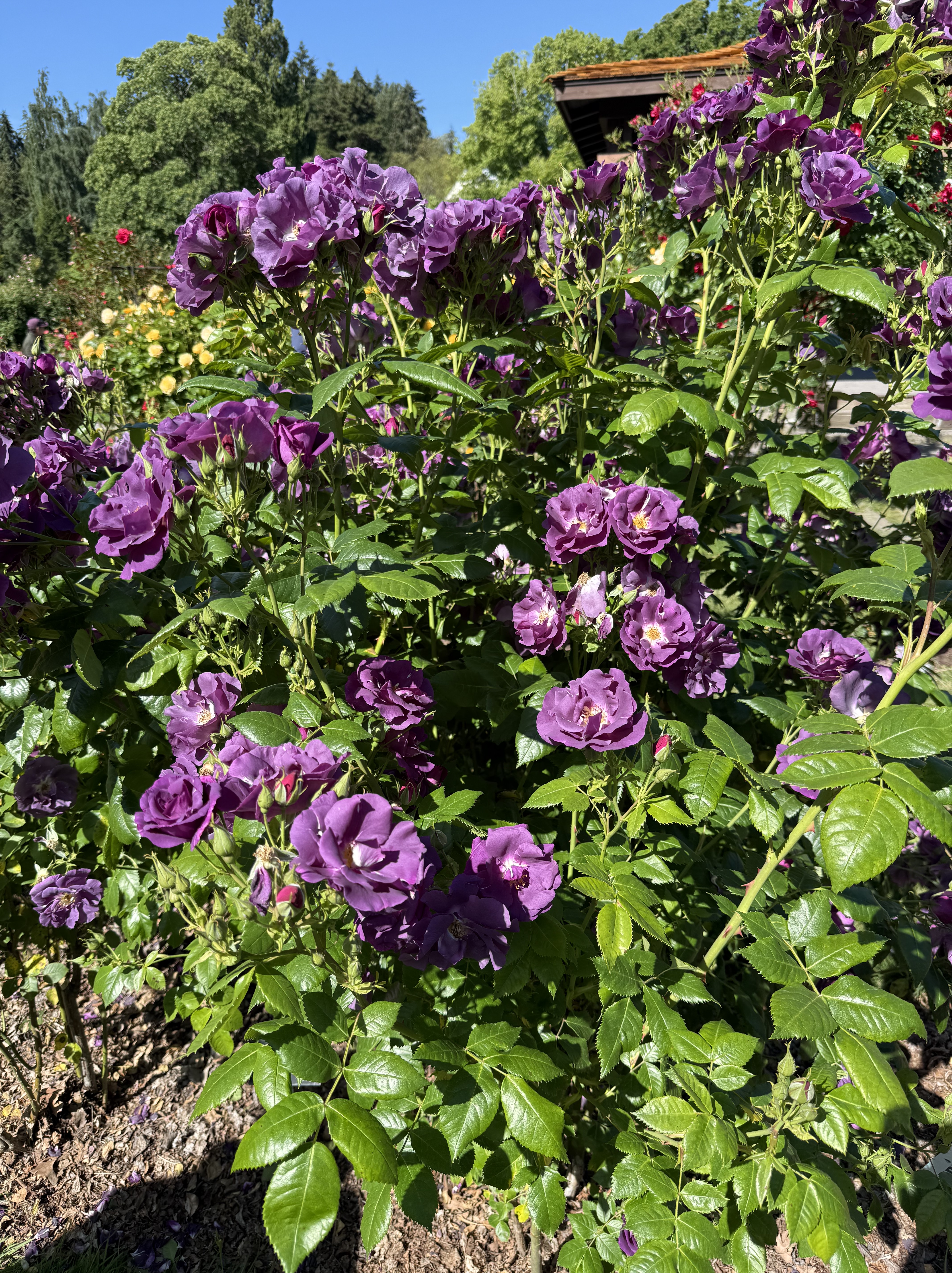
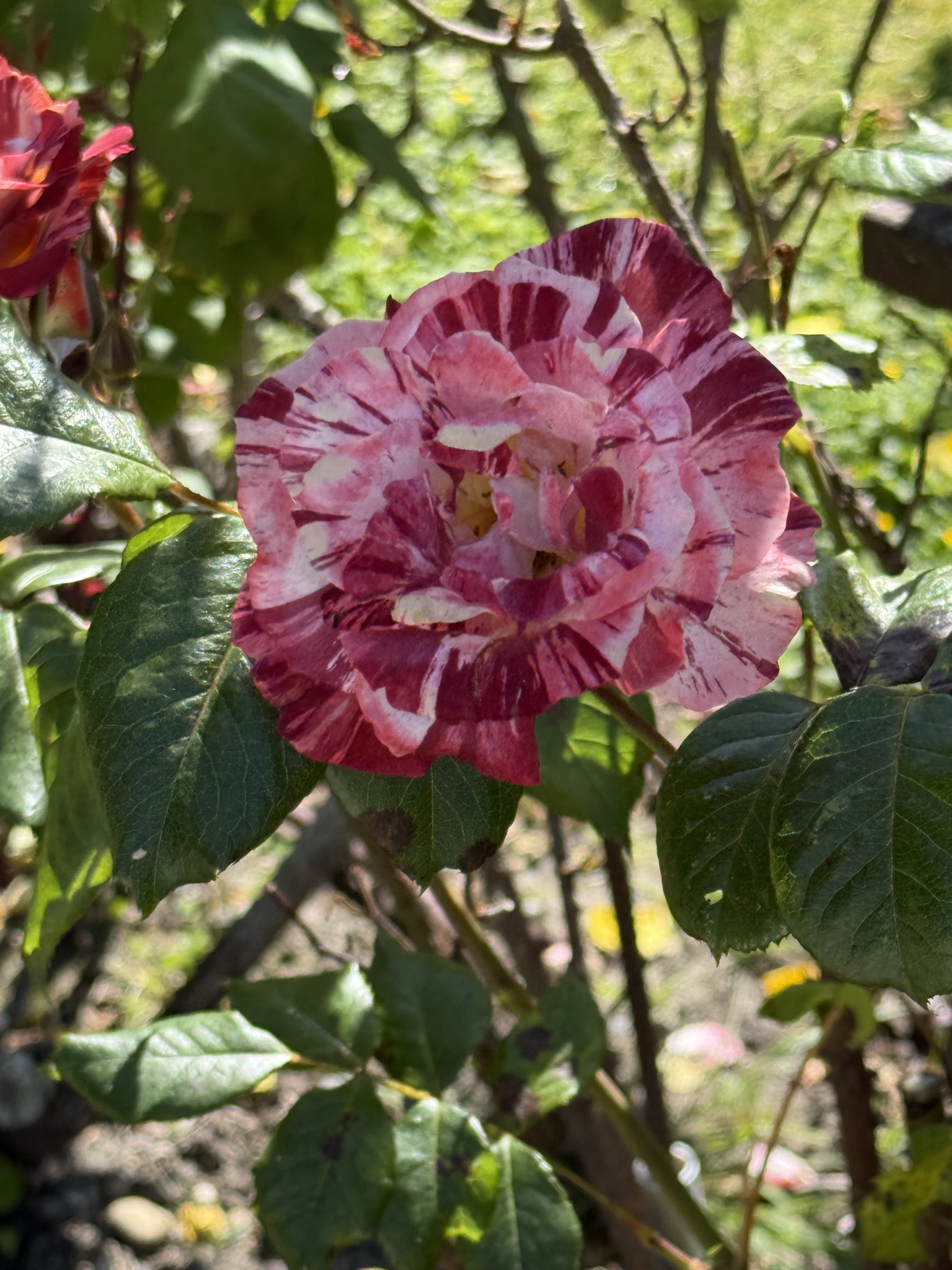
I didn’t take a photo of the sign identifying this remarkable rose, but CoPilot thinks it is Scentimental (1997, floribunda).
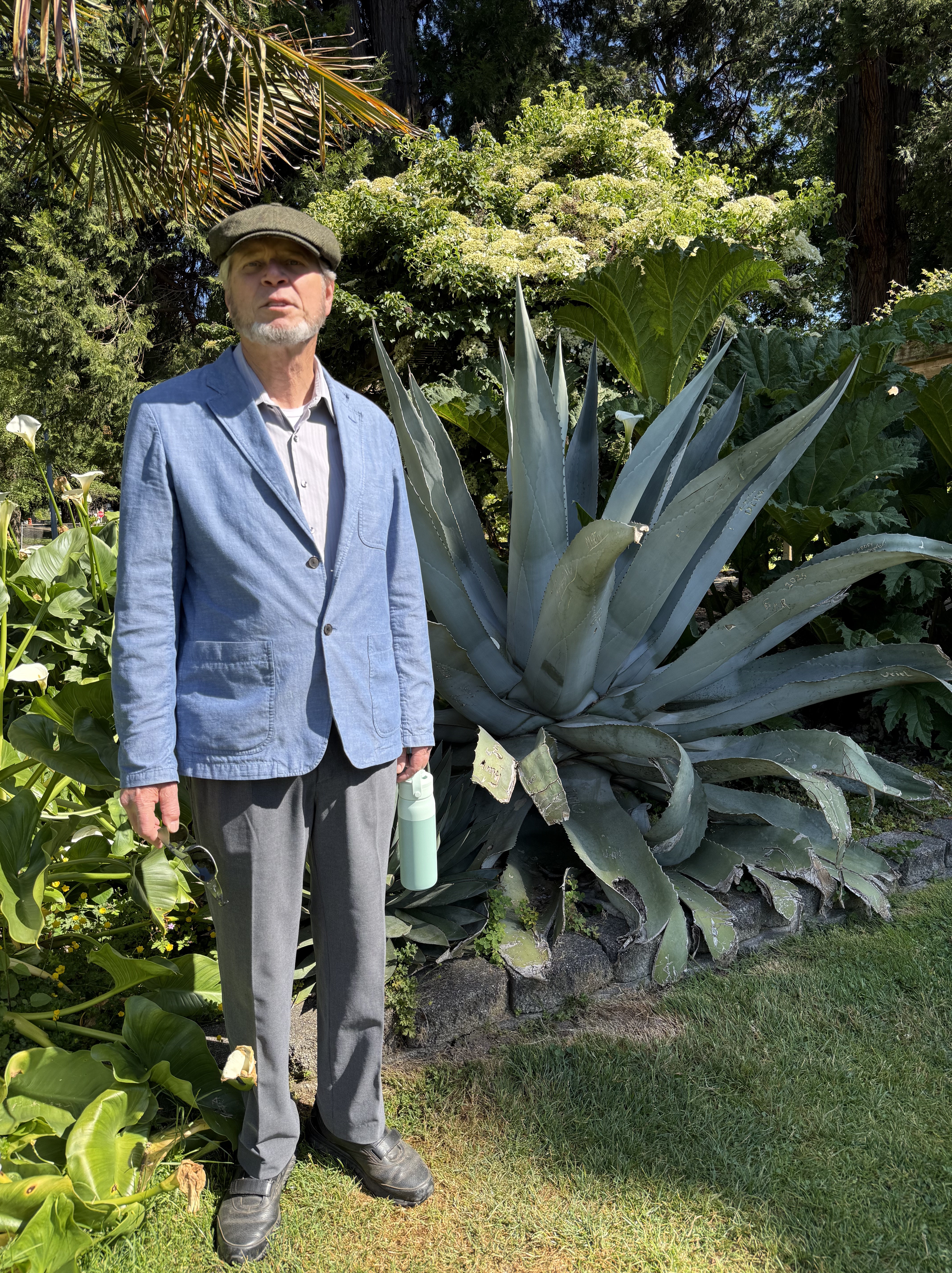
They even had agave doing very well in the PNW. We want some of this for our yard.
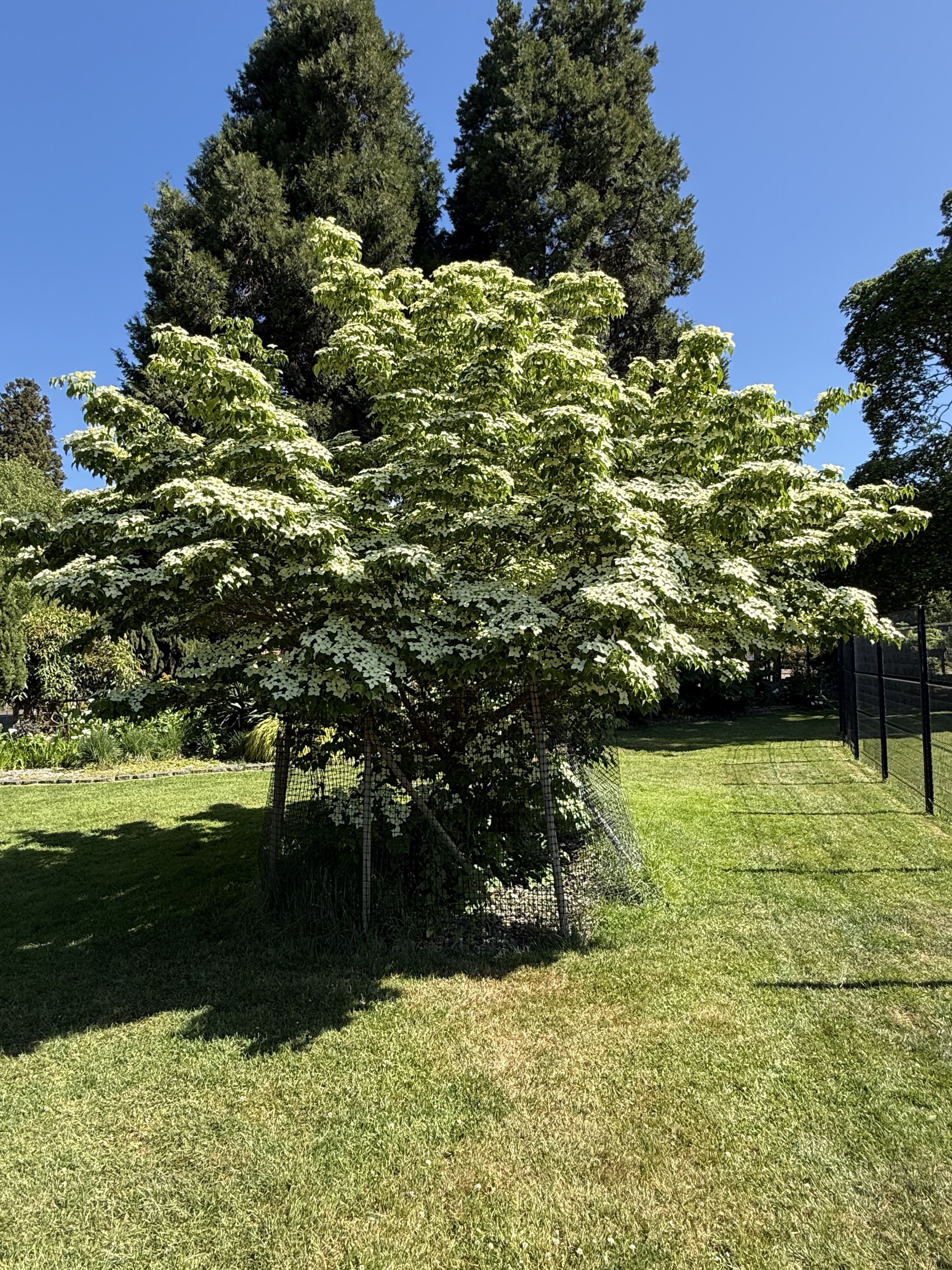
This is a Korean dogwood (according to CoPilot). Note the deer-protection installed around the base. Deer are very destructive to new growth and weak trunks, based on my personal experience.
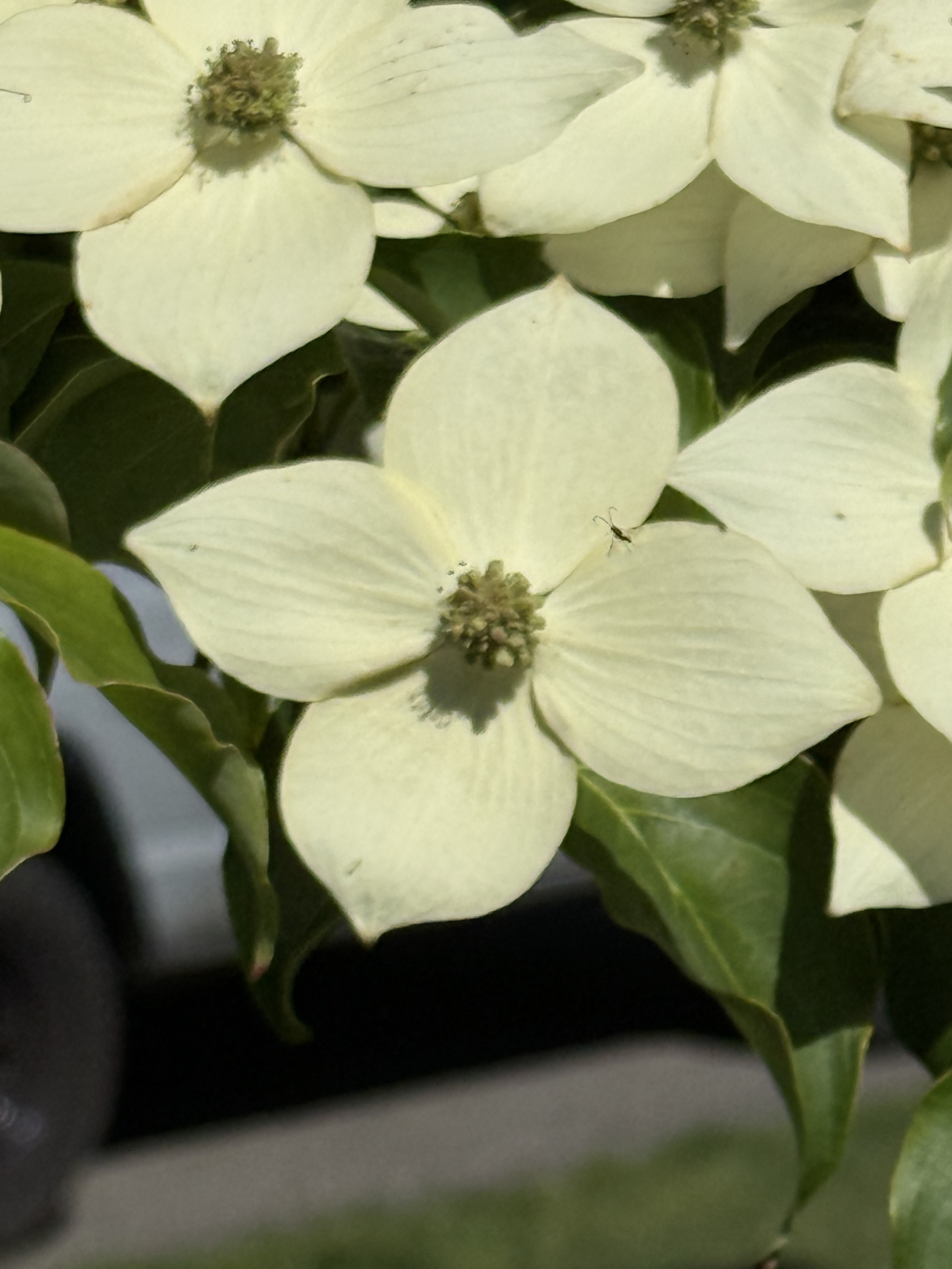
And those aren’t flower petals, they are bracts. The tiny flowers are in the center.
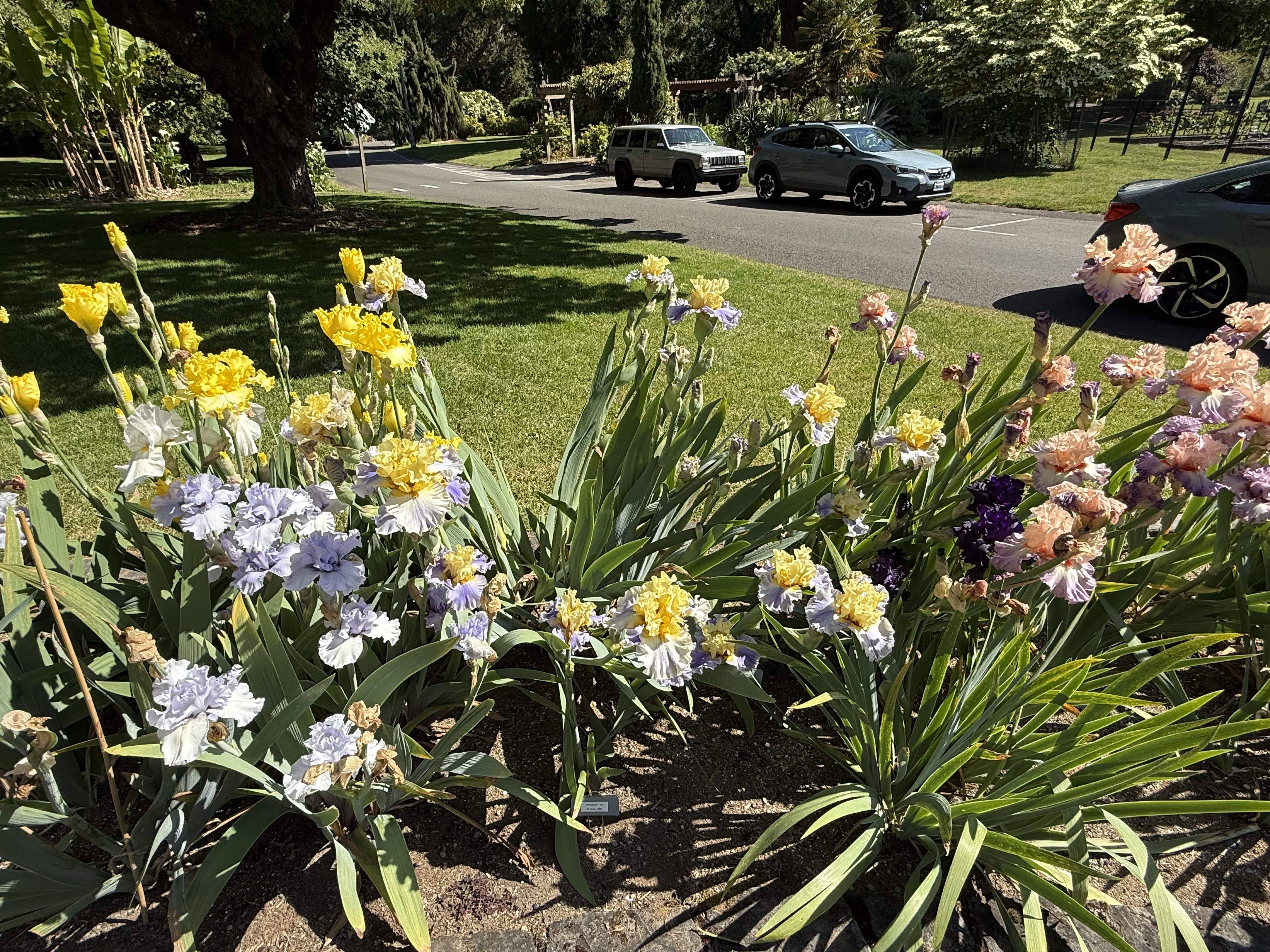
Note the dark purple, almost black, flowers growing from the same plant as the orange flowers.
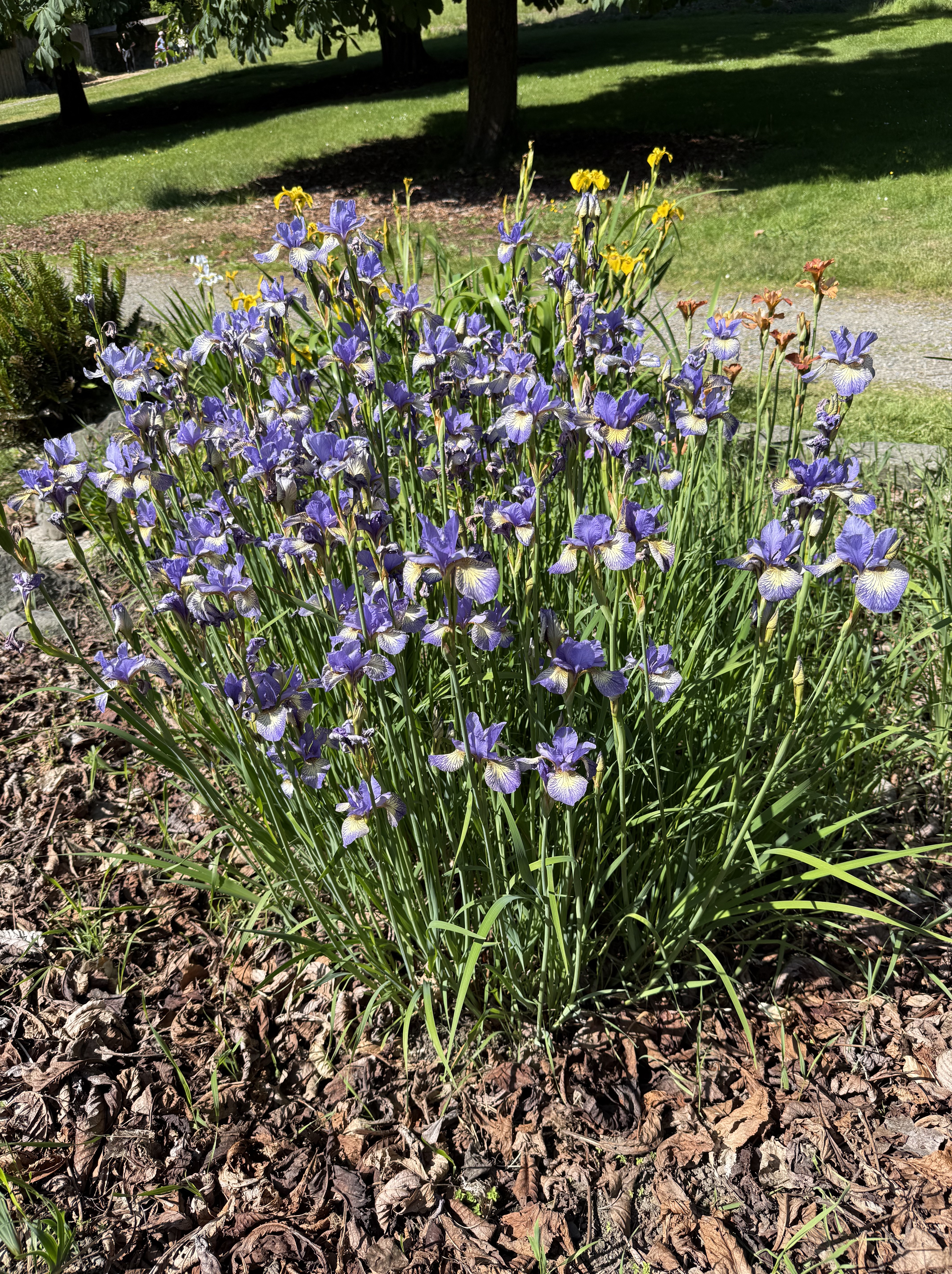
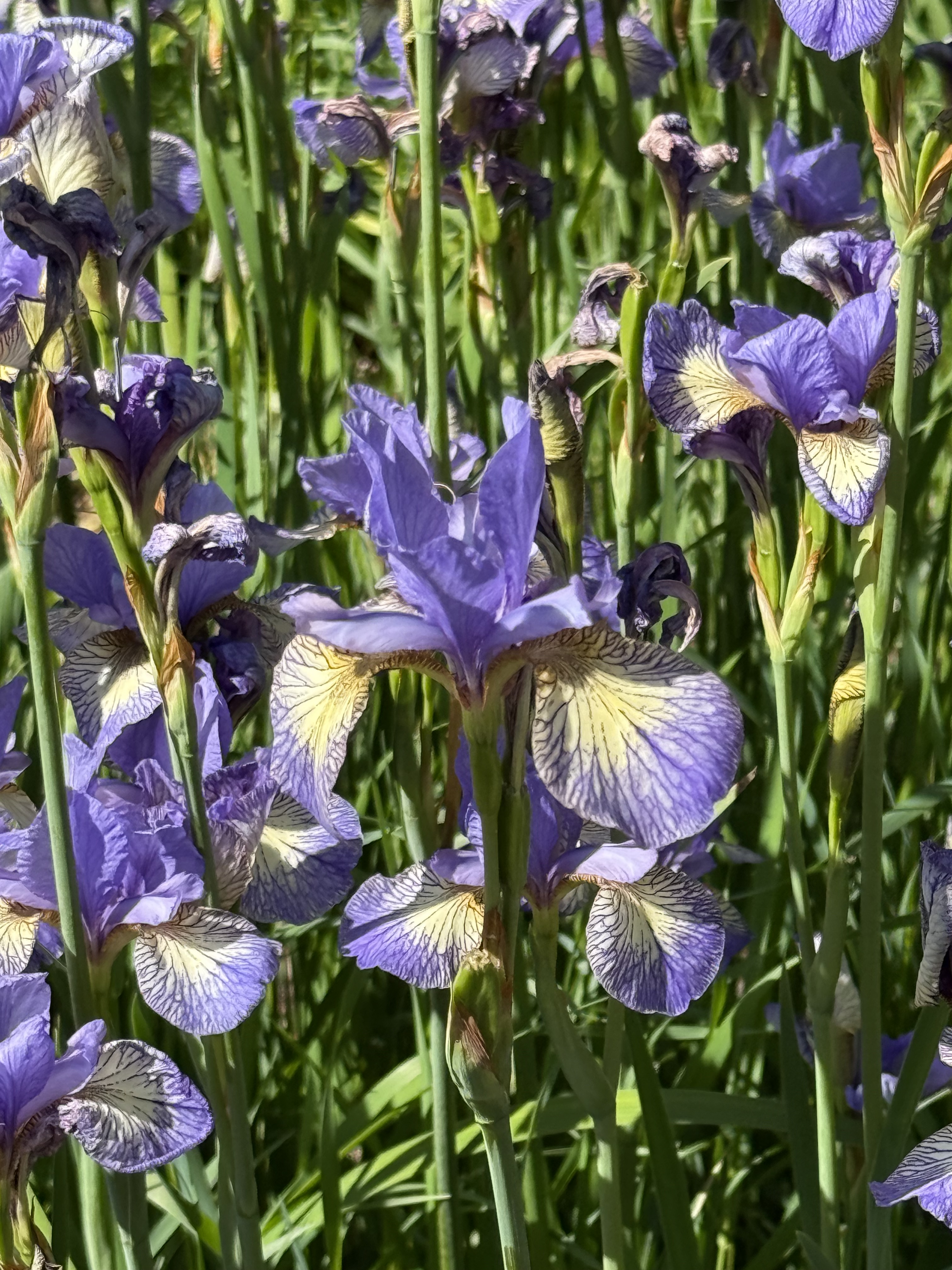
Amazing!
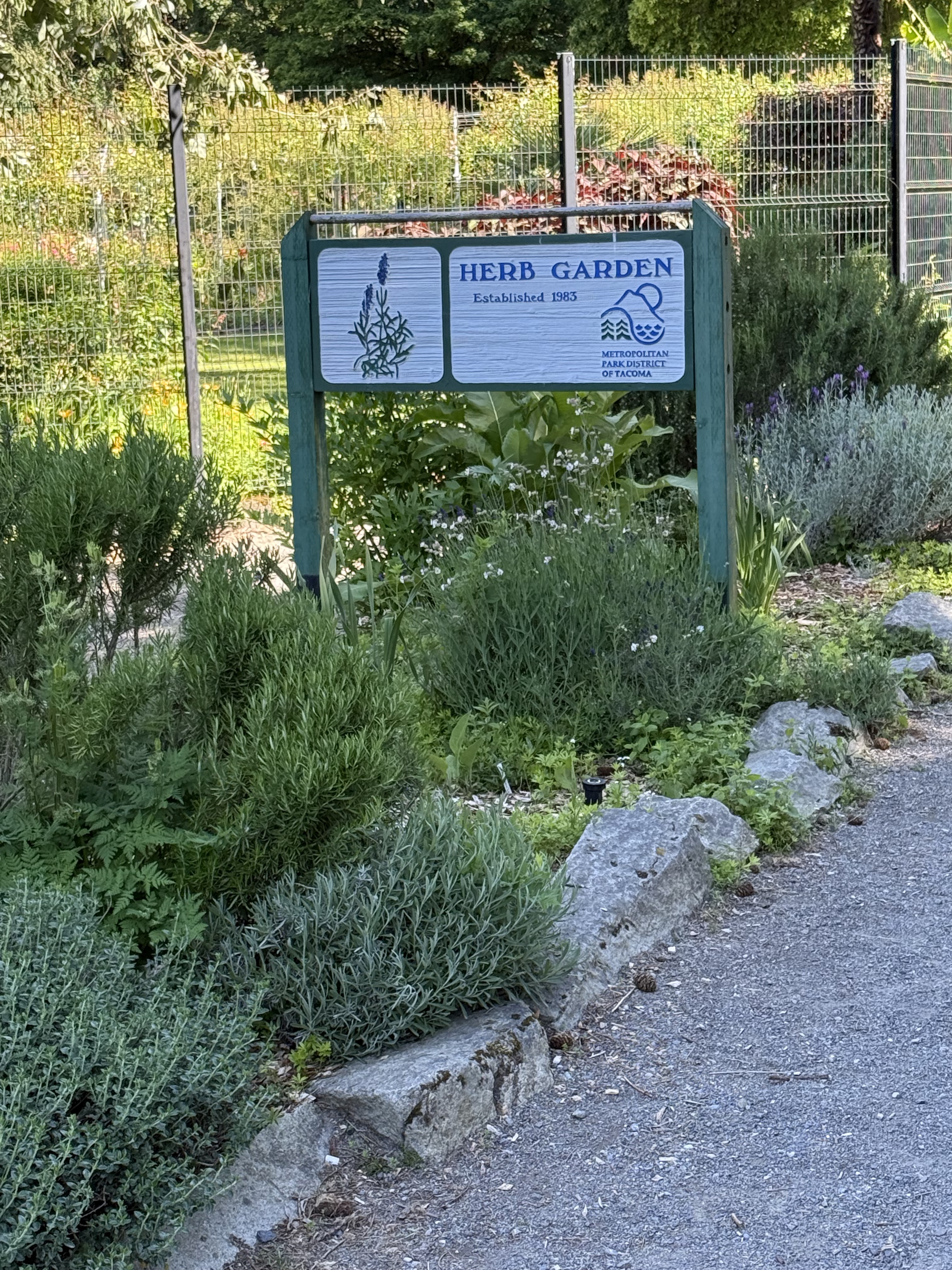
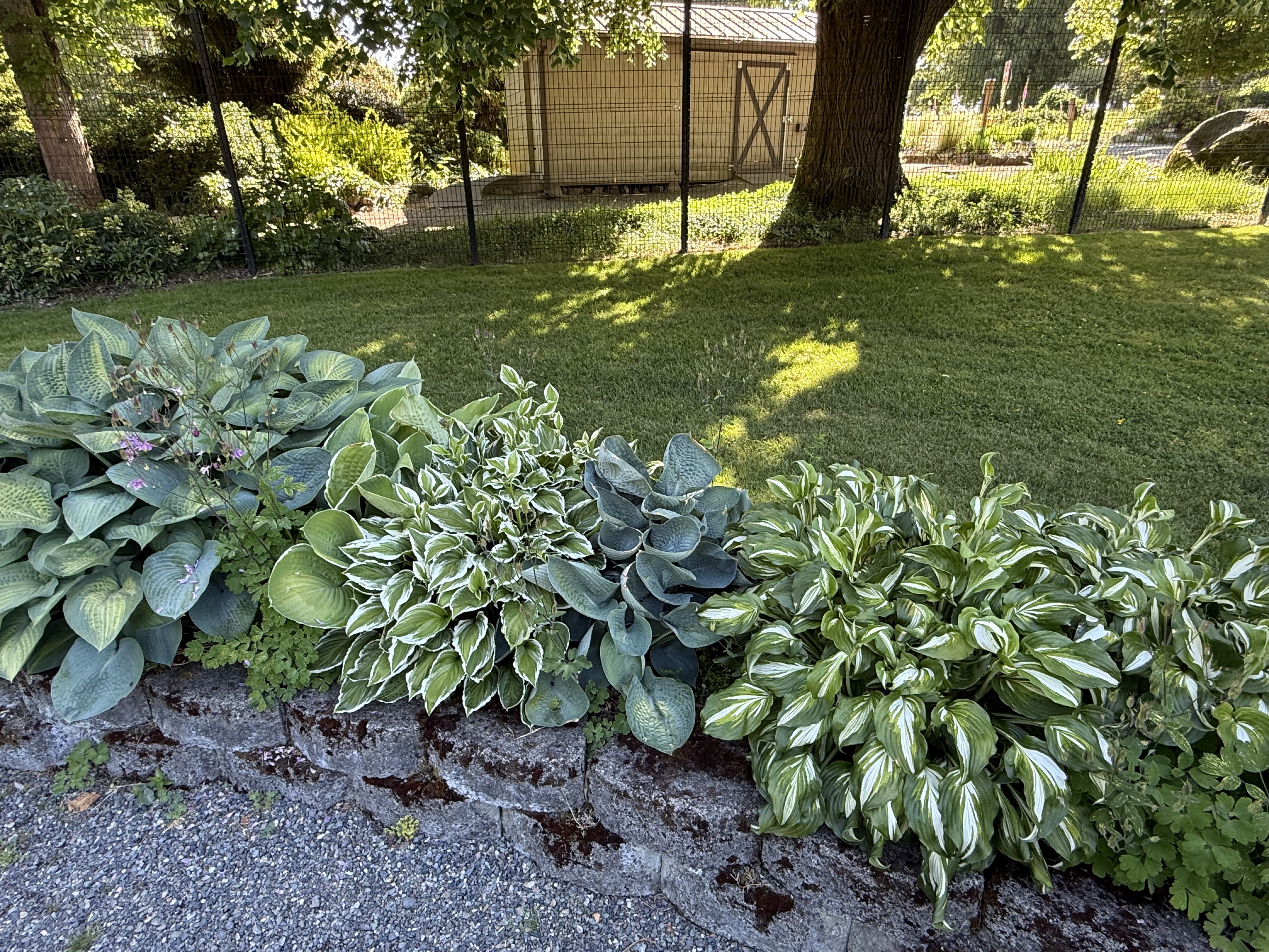
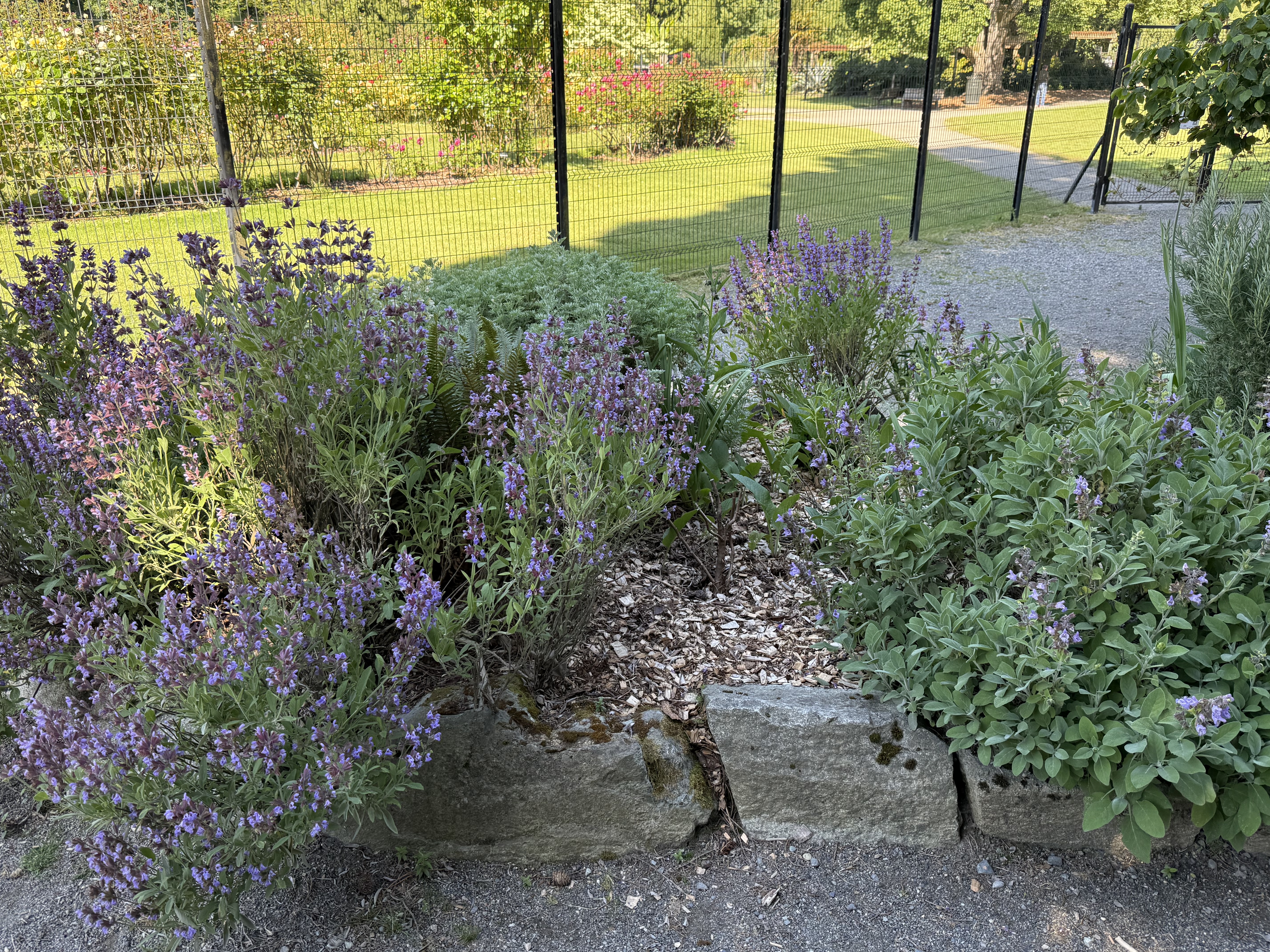
These are the plants that don’t require deer protection. They are outside the defensive fence, and they are thriving.
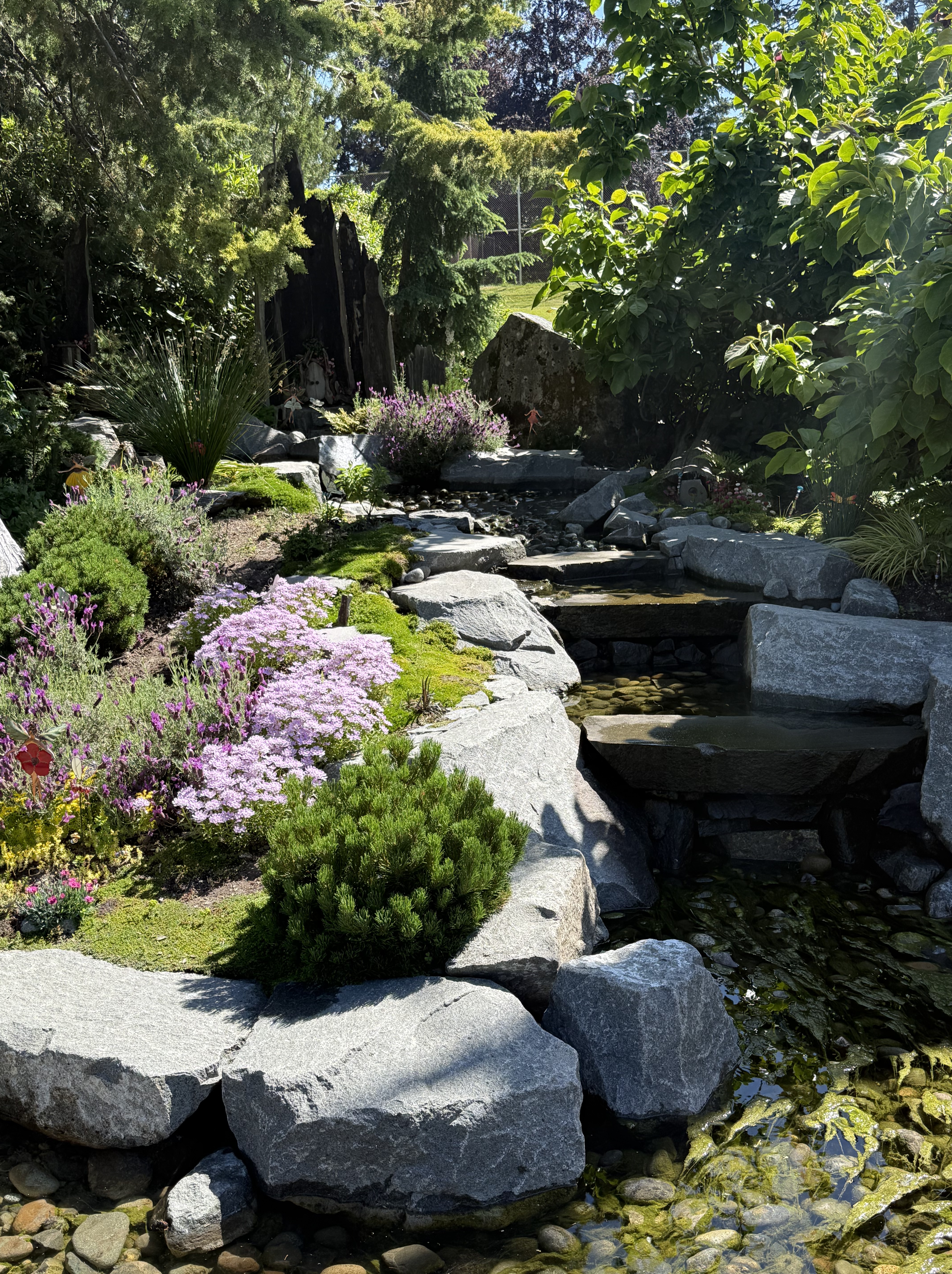
I thought this was a Japanese garden until…
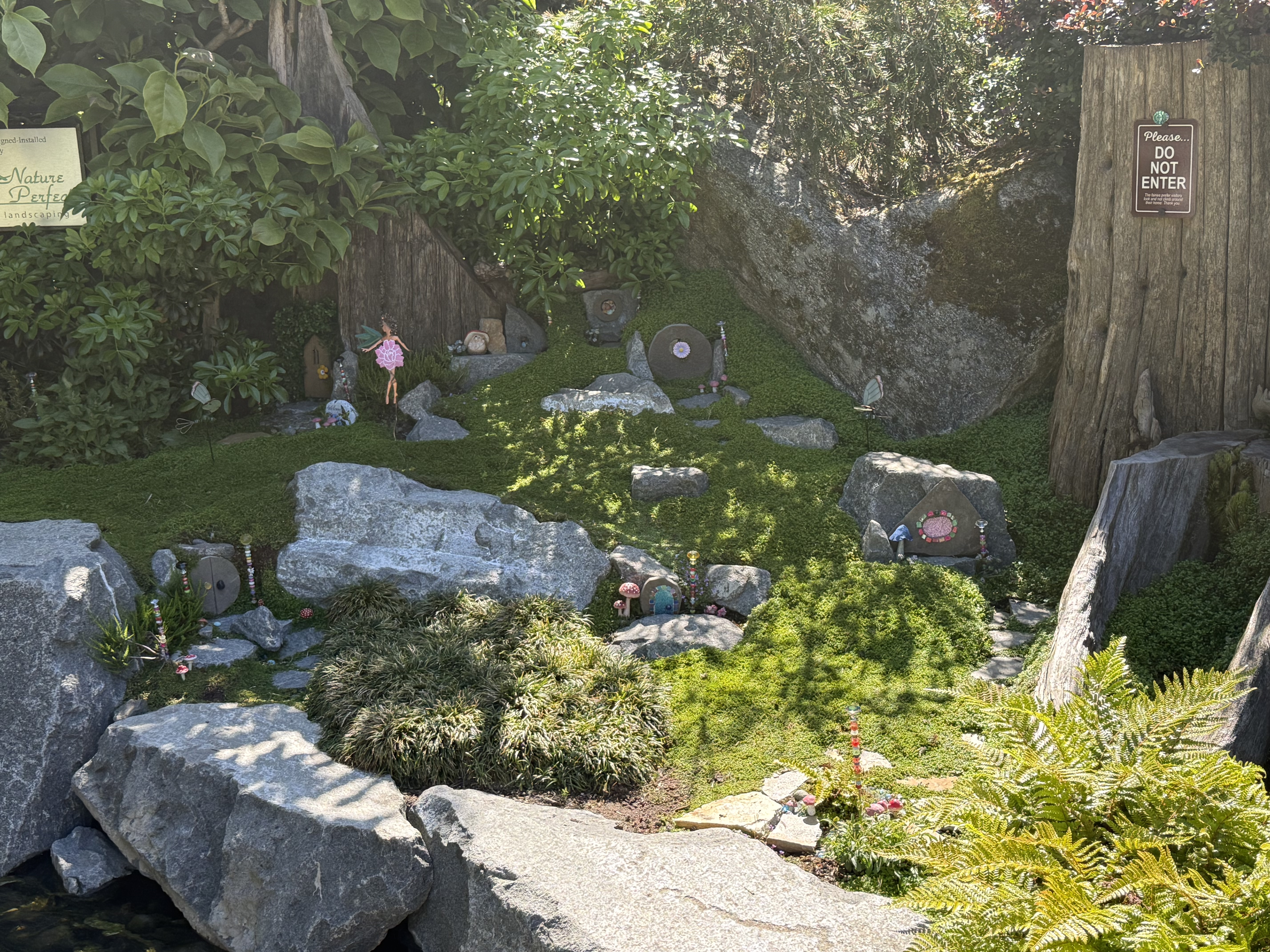
I noticed dolls arranged throughout the area. It reminded me of the horrifying Disney World ride, It’s a Small World. Now that song has returned to haunt me. Creepy … if you want my opinion.
I wasn’t very excited about going to the rose garden at first, but the combination of perfect weather and all these treasures of nature on display won me over. This is yet another reason to love living in the Pacific Northwest–especially Tacoma.


Recent Comments