
Exploring the Potomac: Red Rock and Balls Bluff
Observations at Red Rock Park
I have been exploring the Potomac River from Washington to Harpers Ferry in stages in recent posts. Most of the rocks we’ve seen were Precambrian schists, sedimentary rocks deformed during the closing of the precursor of the modern Atlantic Ocean (The Iapetus). The Potomac River has eroded into the roots of the ancient mountain range that was created by this event, superimposing floodplain processes on these metamorphic rocks. Today I travelled a little further upriver and found different basement rocks, which are the reason I’m excited about today’s post.
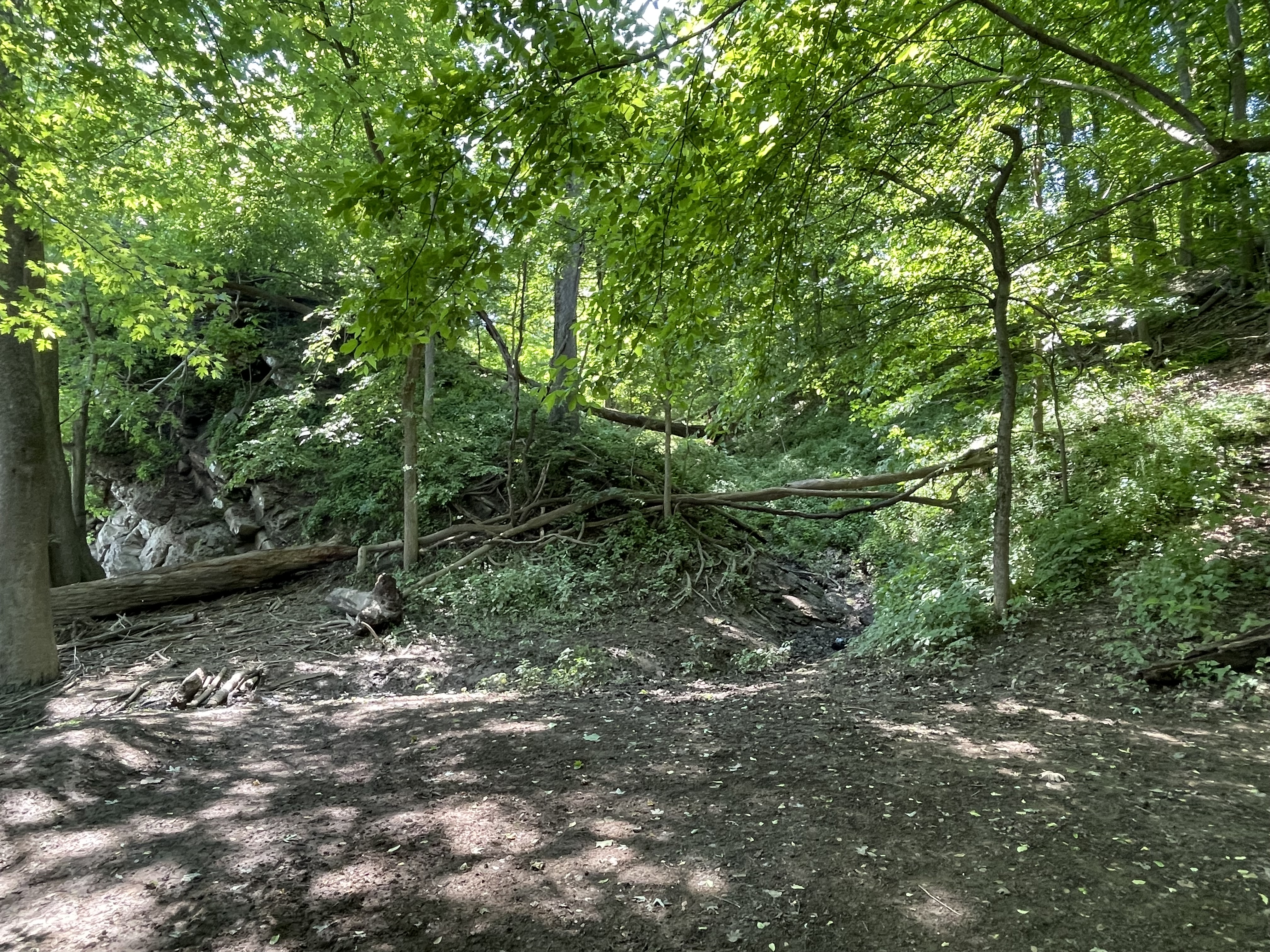
Accessing the river at Red Rock park required a short walk along a narrow ridge, left by erosion of gullies into the rocks.
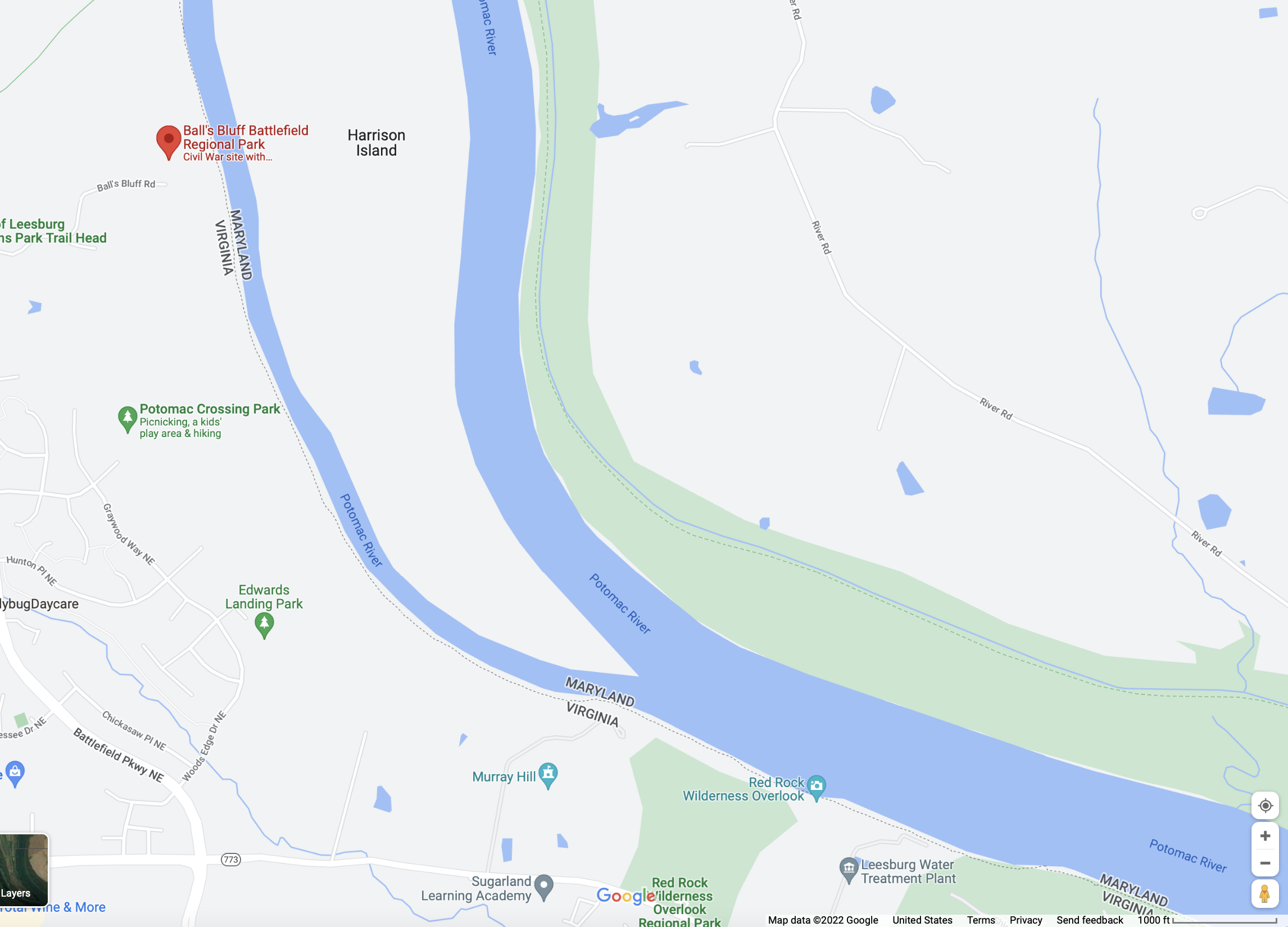
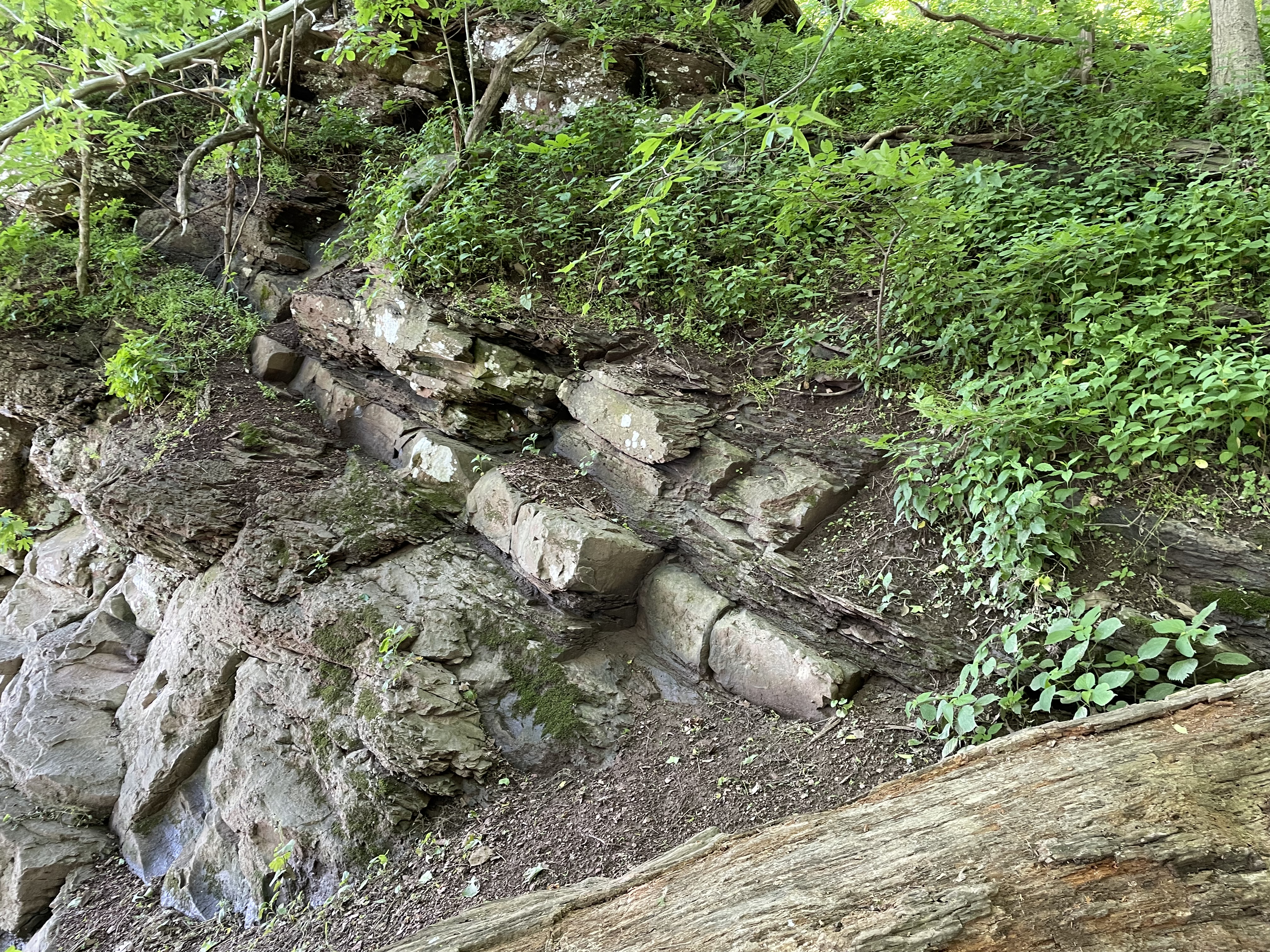
Figure 1 was taken at Red Rock park, after following a steep trail about 100 feet to the river bed (Fig. 3).

A close-up of the outcrop seen in Fig. 1 reveals medium-to-thin bedded, fine-grained sedimentary rock with a reddish hue (thus the name of the park), as seen in Fig. 4.

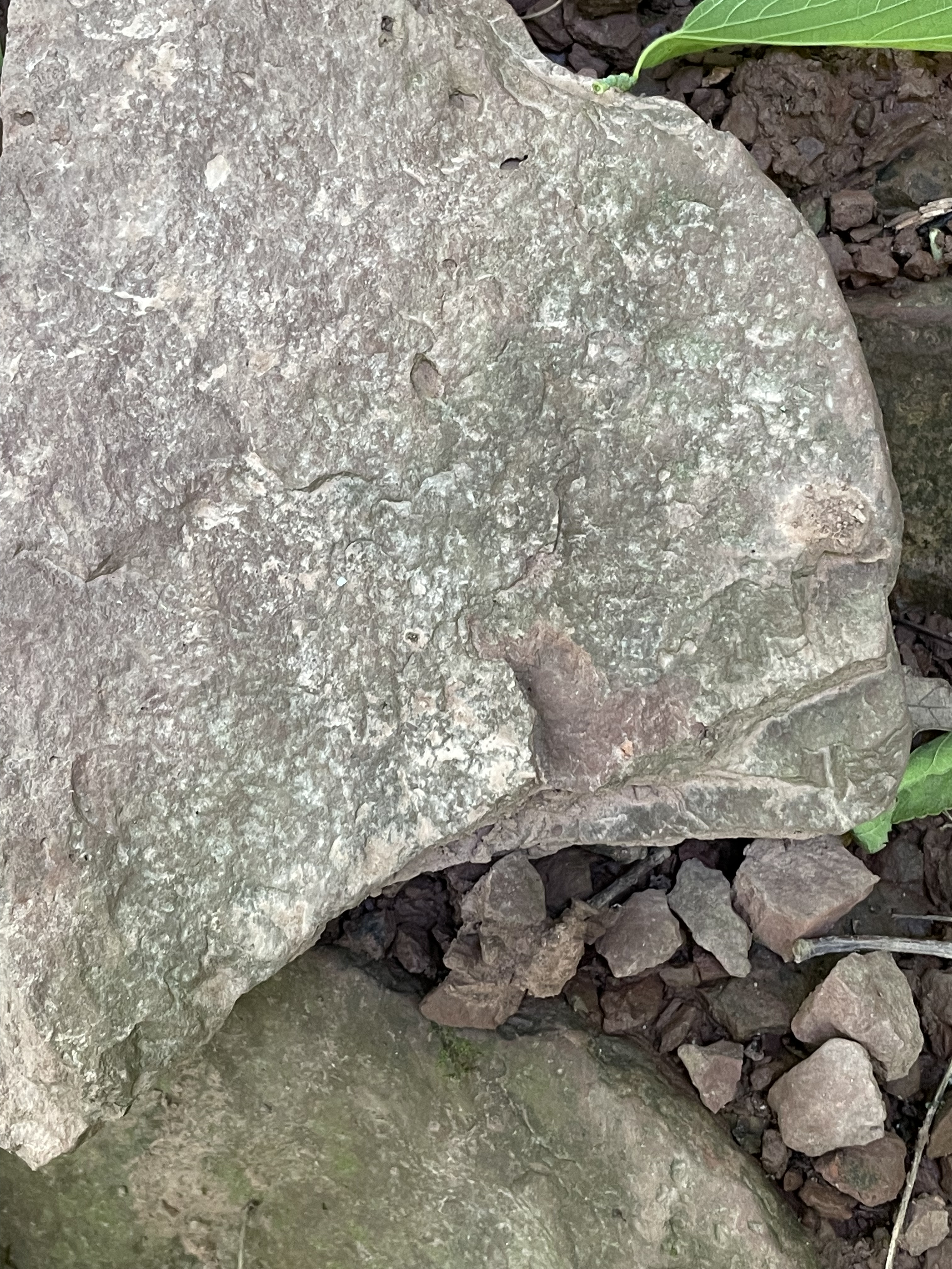
The sedimentary environment implied by the siltstones and mudstone we see in Figs. 4-6 has (coincidentally) been reproduced today, with weathering of these same rocks and others found further west.


Summary of Red Rock Park
Fine-grained sediments were transported along rivers similar to the modern Potomac about 200 Ma and deposited on a flood plain like we see today. This was when the modern Atlantic Ocean was just beginning to form as the supercontinent Pangea was being torn apart. There would have been mountains much higher than the modern Blue Ridge to the west, and a narrow but widening (~1 inch/year) ocean to the east. Erosion of the ancestral Appalachian Mountains continued for the next 200 Ma, creating thick piles of sediment on the continental shelf of North America, depressing the earth’s crust and burying even terrestrial sediments deep enough to create the Balls Bluff siltstone from mud and silt. As erosion wore these mountains down, the crust rebounded to expose these ancient rocks to the ravages of water and ice. Now, these sedimentary rocks are being eroded as the process continues.
Requiem: Balls Bluff National Battlefield
A little further upstream (see Fig. 2 for location) is the probable type-locale of the Balls Bluff siltstone, but good exposures weren’t accessible because the bluff is higher and the bank narrower, there being no floodplain as we saw elsewhere (Fig. 7). In fact, the only rocks we saw were at the top of Balls Bluff (Fig. 10) and along a trail that led to the river, where I was able to estimate strike and dip.

These rocks contained original sedimentary layering and I was able to estimate that they were dipping to the WNW at about 20 degrees, with a strike similar to the rocks at Red Rock park (i.e. about 30 degrees east of north). This is an important finding, because this is the opposite to what we saw only a few miles downriver. I’ll try and summarize this interesting observation briefly.
Tilting of layered rocks like these siltstones can occur by either folding or faulting. Check out the links to understand these processes. Folding creates great arcs of rock, like sine waves, or ocean waves, as lithified sediments (hard rock) are compressed from both ends. This is what led to the steep folds we saw in the Precambrian rocks at Great Falls and in Lynchburg; our limited observations can’t allow us to decide what happened to these rocks on our own, but we can turn to reliable resources. The sediments that formed the Balls Bluff siltstone have never been compressed; we know this because the Atlantic Ocean is still spreading at a slow and steady rate of about 1 inch/year.
Rocks also become tilted when the earth’s crust is stretched. Even though buried deeply, if they are not in a metamorphic pressure-temperature regime, rocks break and slide around to form faults. This is a well-understood phenomenon that is occurring today in the Basin and Range province of western North America. It doesn’t take much imagination to picture new ocean crust appearing while a continent (Pangea) is being torn apart, snapping rocks buried several miles beneath the surface, like a slab of concrete being removed by a bulldozer.
Crustal stretching produces a series of opposing normal faults that create grabens. These collapsing structures occur at every scale, from outcrops to the birthplace of Humans.
Closing Thoughts
It was good to see some younger rocks, especially Triassic river sediments that are direct evidence for the splitting apart of Pangea. It was a bonus to discover evidence of block-faulting of these same sedimentary rocks after they had been buried several miles beneath the surface. Geological processes occur on time scales of millions of years, with annual displacements of inches or less. Because of the juxtaposition of fast, river-based erosion and deposition and the slow pace of plate-tectonic movements, these rocks record their entire life cycle.
And it continues to this day, as slivers of quartz and oxidized clay minerals are transported yet again towards the same ocean into which they were originally flowing, before being trapped on a primordial floodplain.
Maybe they’ll make it this time…


Trackbacks / Pingbacks