
Ball’s Bluff Battlefield Requiem
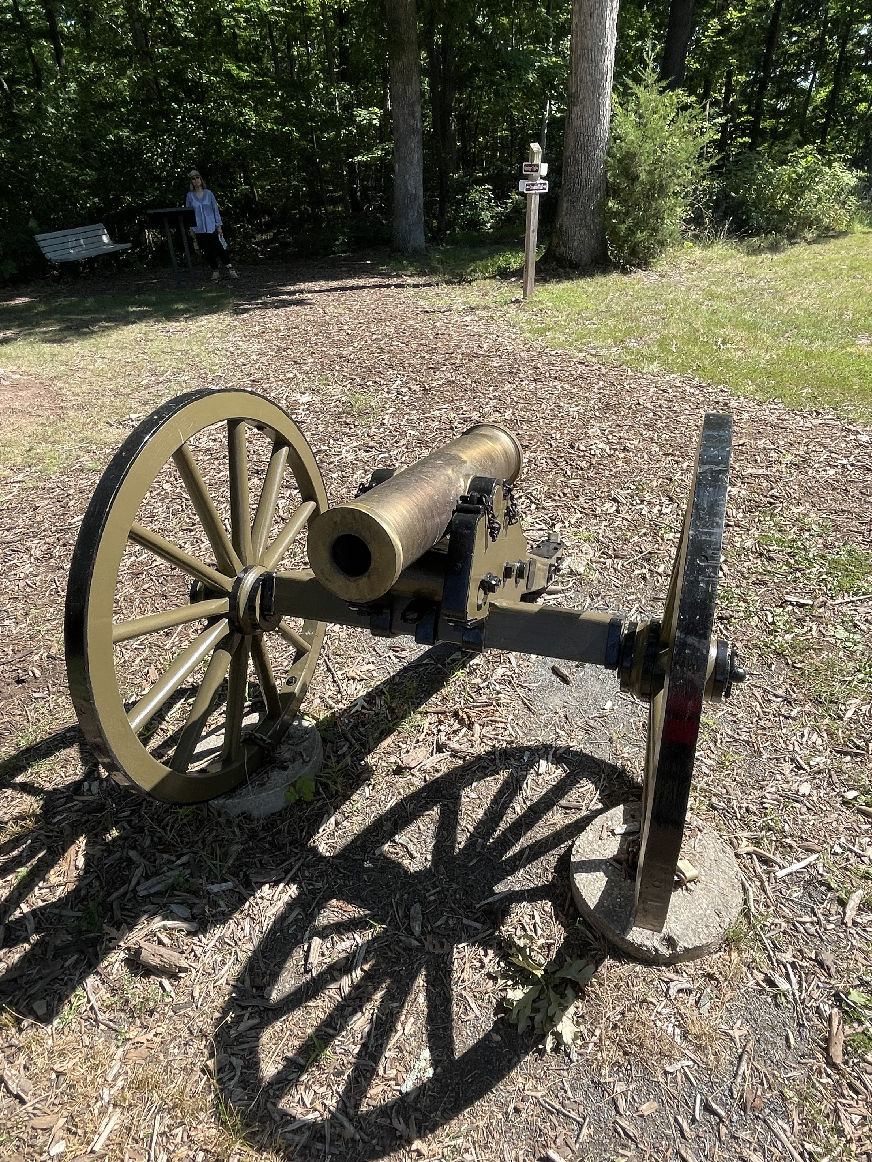
I reported on the geology of this area in a previous post, but I didn’t have much time to explore the area on that outing, so this trip I followed trails all the way around the park. This was the site of a battle early in the American Civil War, October, 1861. The cannon (Fig. 1) is a metaphor of how geology is always in front of us; it isn’t just about really old rocks, but also rivers and beaches, even gas and lava being belched out by volcanoes. That’s all geology too. For example, this battle took place in a field (Fig. 2) .
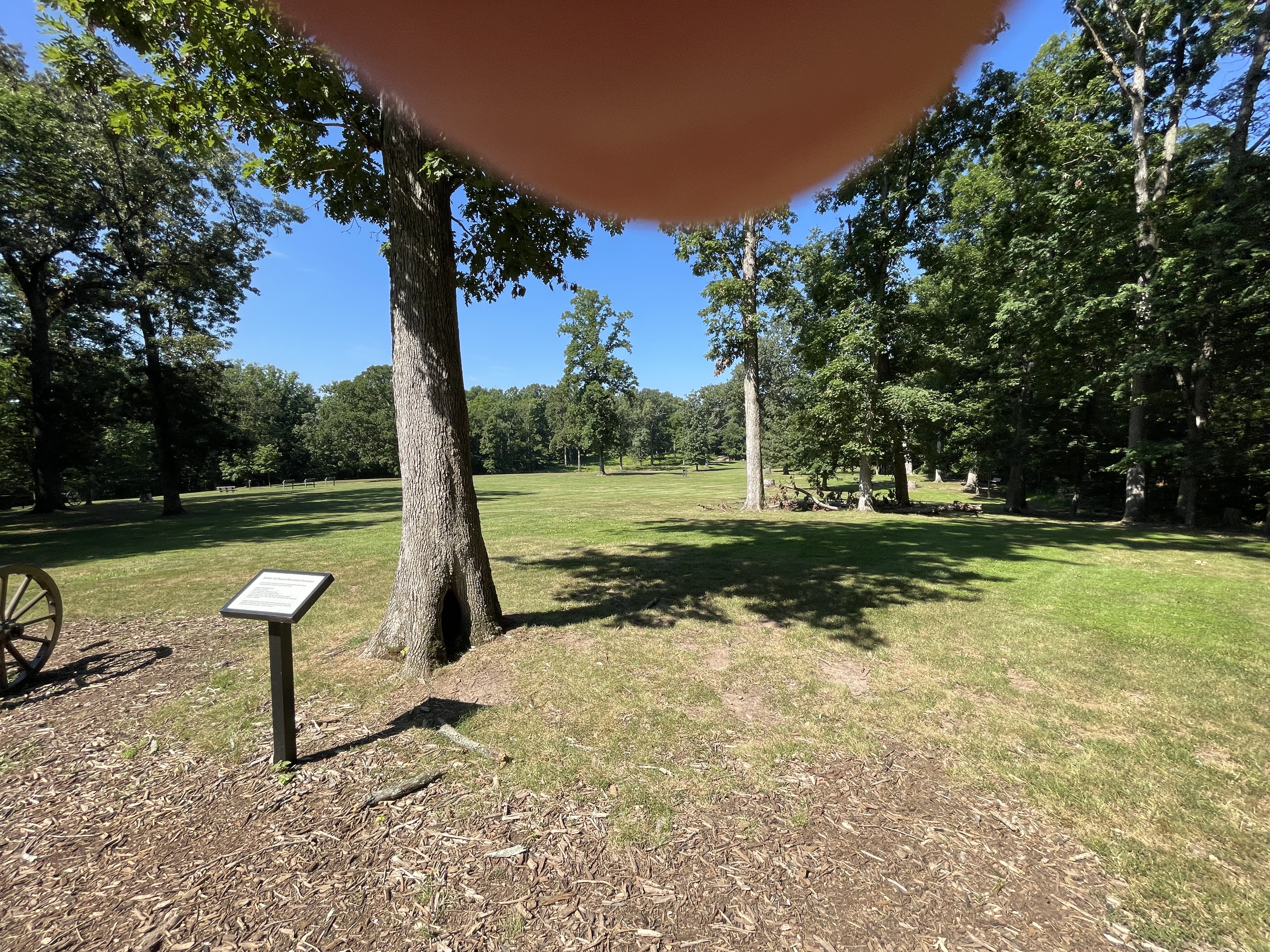
There isn’t much arable land along the Potomac River here because of the rocky soil, but there are a few pockets of land suitable for farming–flood plains left as reminders of the ancient river’s meandering, while it cut its way through rock, gravel, and mud to reach its current position (Fig. 3).

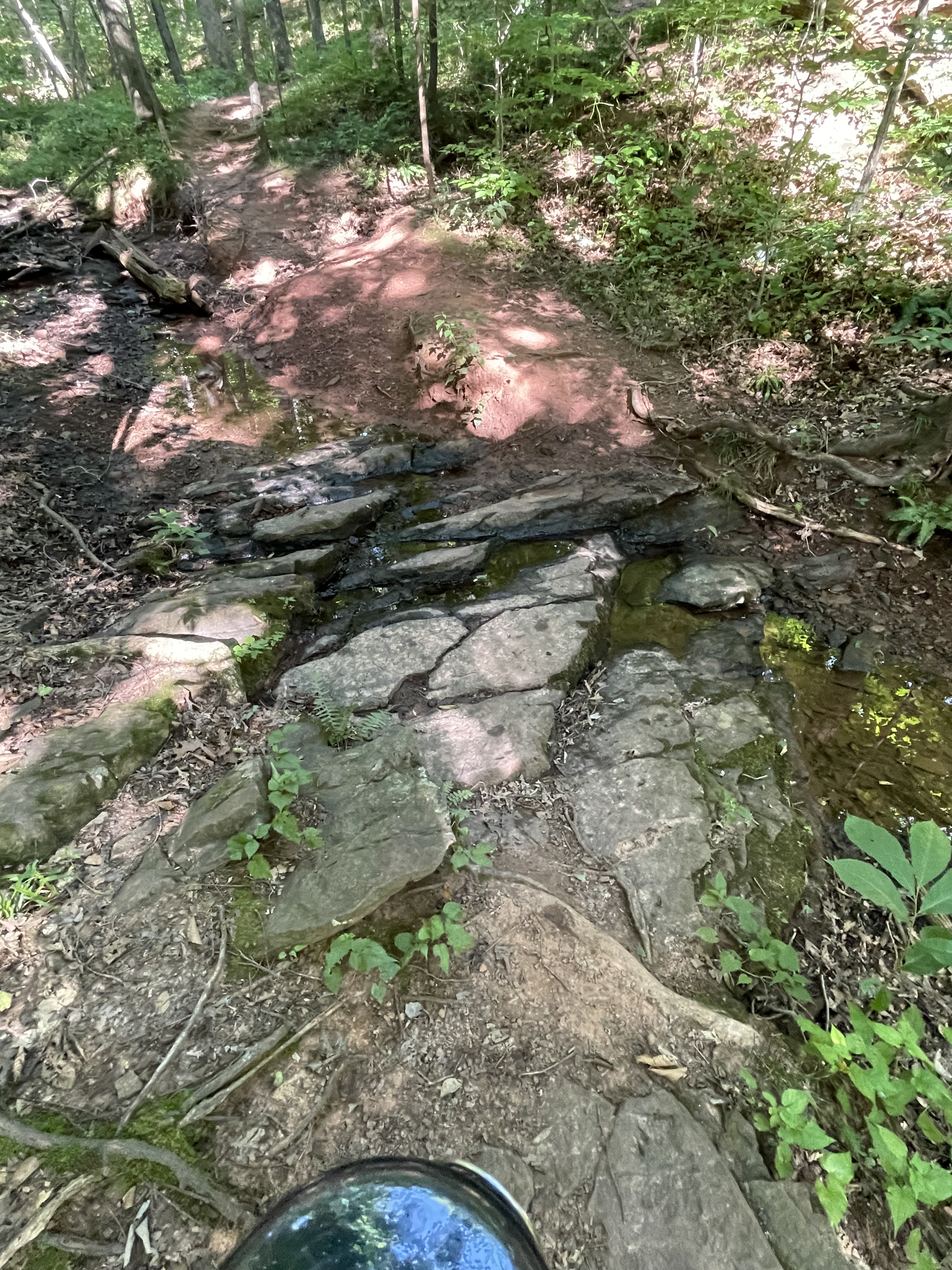
The bottoms of the gullies were paved with tilted layers of sandstone and siltstone (Fig. 4), sediment originally deposited in intermontane basins like those that occur in western North America (Fig. 5).

I’d like to finish this post with a thought experiment: Imagine the sediments being carried away from the camera in Fig. 5, passing into the distance to collect in the wide valley that fronts the major fault-block mountain range, seen in the distance; now, imagine everything you see in Fig. 5 being worn down by water and wind and ice, until the sand and silt filling the lowlands in front of the camera is buried beneath the erosional product of Piestewa Peak; imagine that pile of sand and silt and clay being buried many miles beneath the surface, for millions of years.
Can you imagine the rocks seen in Fig. 4?

Recent Comments