
Three Days on Vancouver Island

If you’re ever in the PNW, you can drive to Vancouver Island on the M.V. Coho, a ferry commissioned in 1959, which plies the route from Port Angeles, Washington, to a berth in downtown Victoria several times a day. Victoria is the capital of British Columbia–that’s a province in Canada. In this post, I hope to show you how much there is to explore without venturing into the wilds of an island that is more than 280 miles long.
This is going to be a long post because the culture and geography are so intertwined that they cannot be experienced, much less discussed, in isolation. However, I will present my geological survey in a separate post.
Let’s do it!
Downtown Victoria
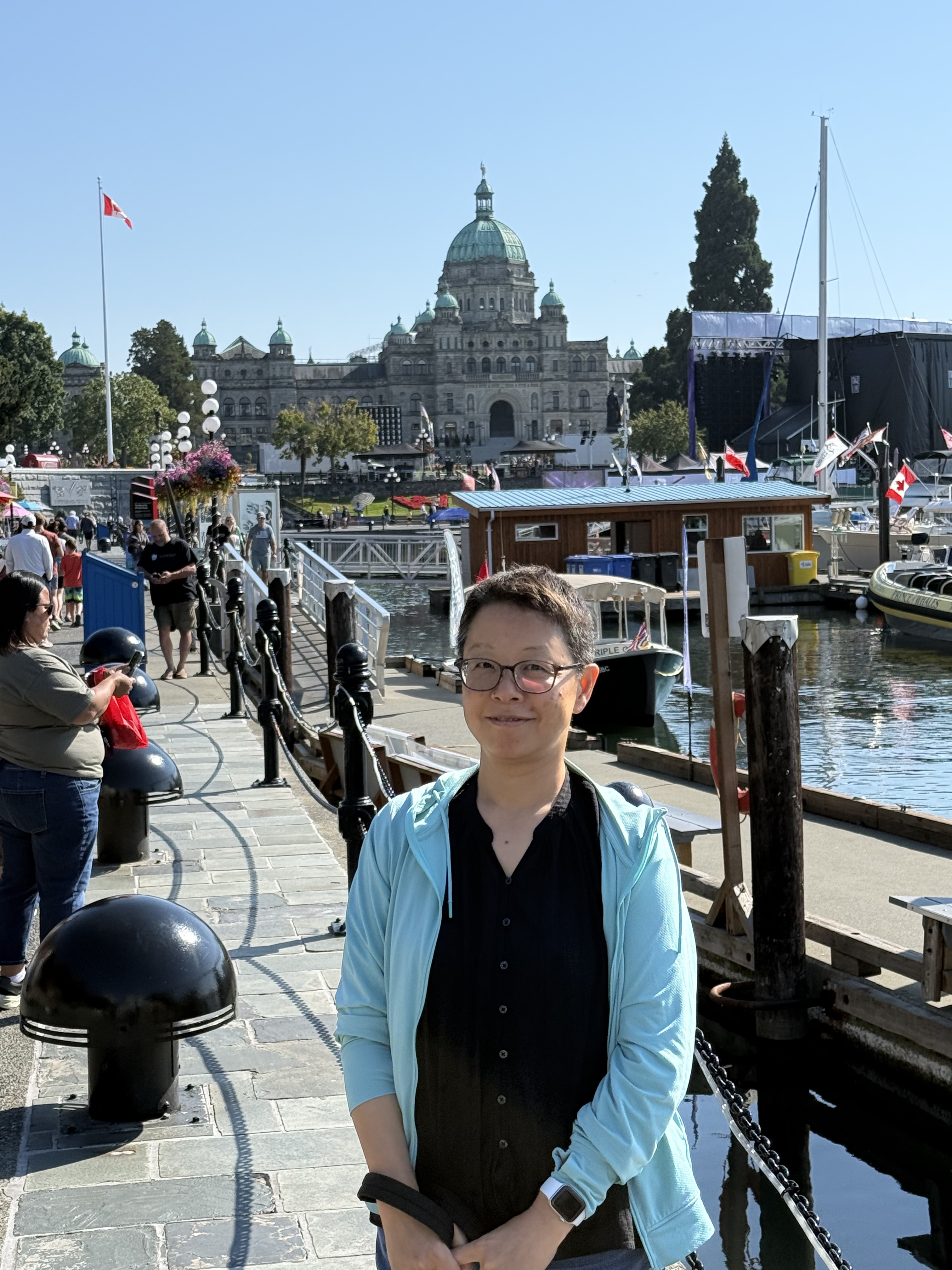
We stayed a couple of blocks from the waterfront, where British Columbia’s legislature meets (Victoria is the capital). On this particular weekend, which had spectacular weather, there was a free concert on the waterfront for David Foster, a Canadian music writer, publisher, etc, who comes from Victoria. They had a massive celebration, with Jay Leno as MC, beginning with an aerial display by the Snowbirds–the national aerobatics flying team–and ending with a fireworks display that lasted 30 minutes.
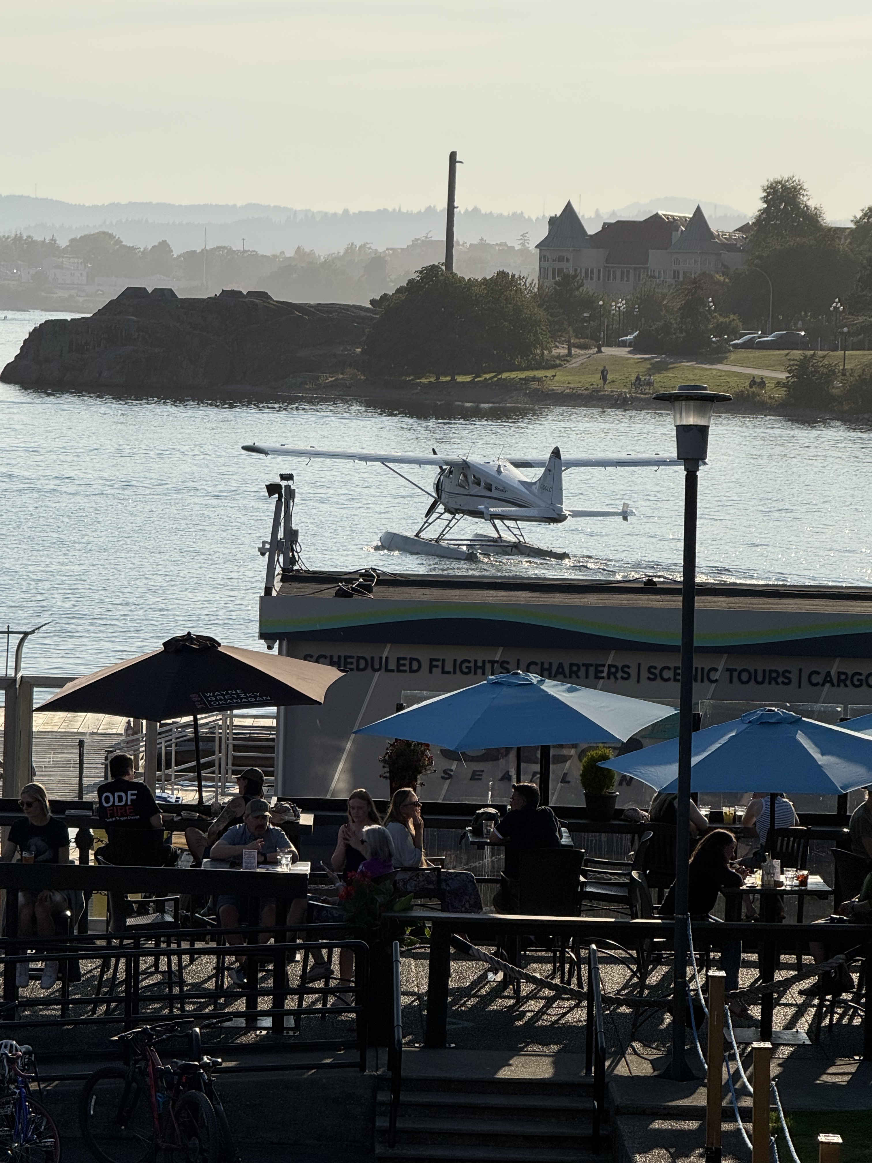
You can catch a tour in either a single- or twin-engine seaplane. They take off and land right in the harbor. That’s crazy, but somehow they don’t have enough incidents between aircraft and boats (including cruise ships), to make the news. I checked.
This is one of the most interesting waterfronts I’ve visited, probably because it is summer; however, Vancouver Island has the warmest overall climate in Canada. Food for thought.
Beacon Hill Park
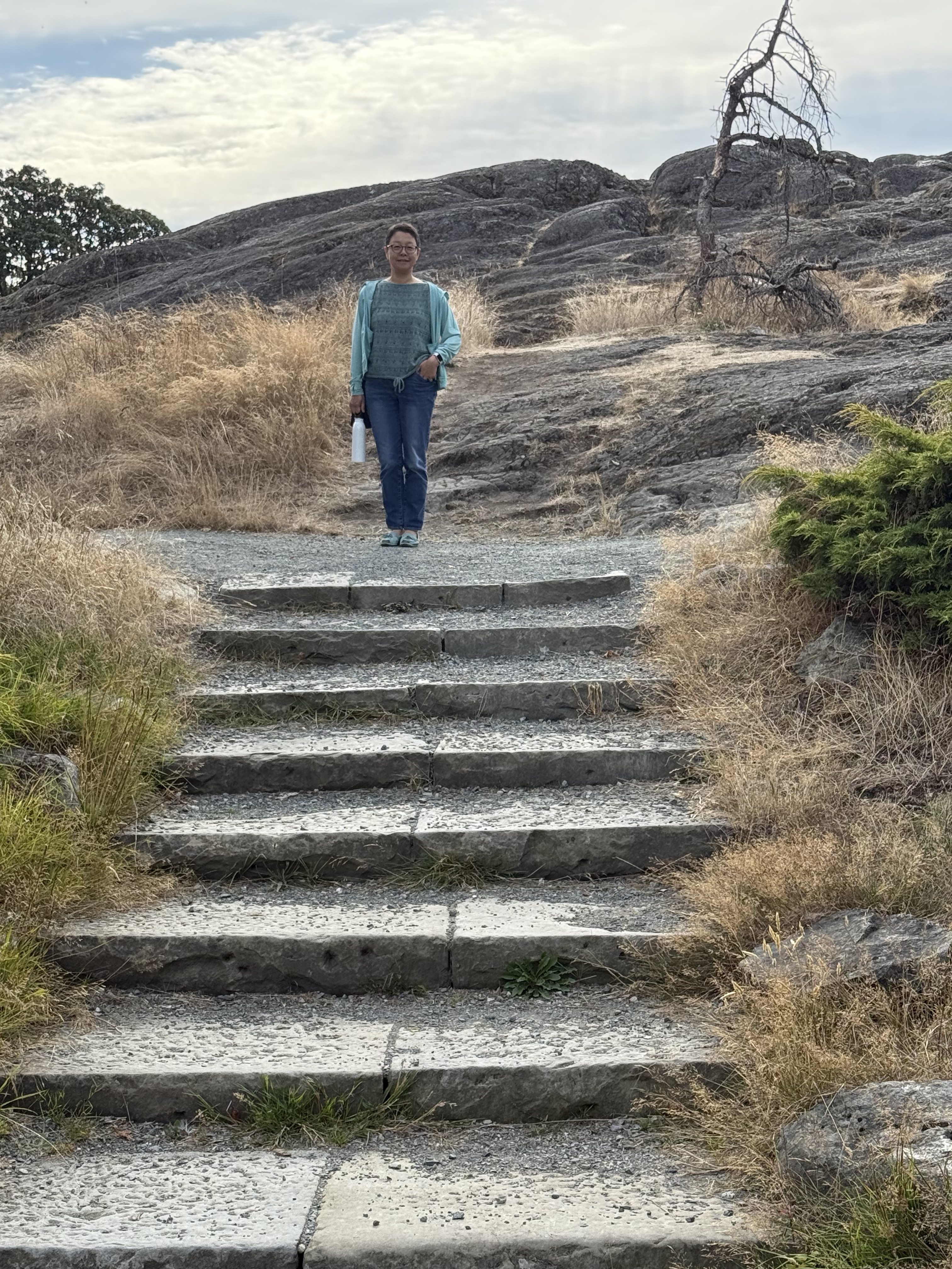
We like to walk, so we strolled towards the coast and discovered beautiful gardens and some of the bedrock exposed, with steps leading up to it; but this isn’t Beacon Hill proper.
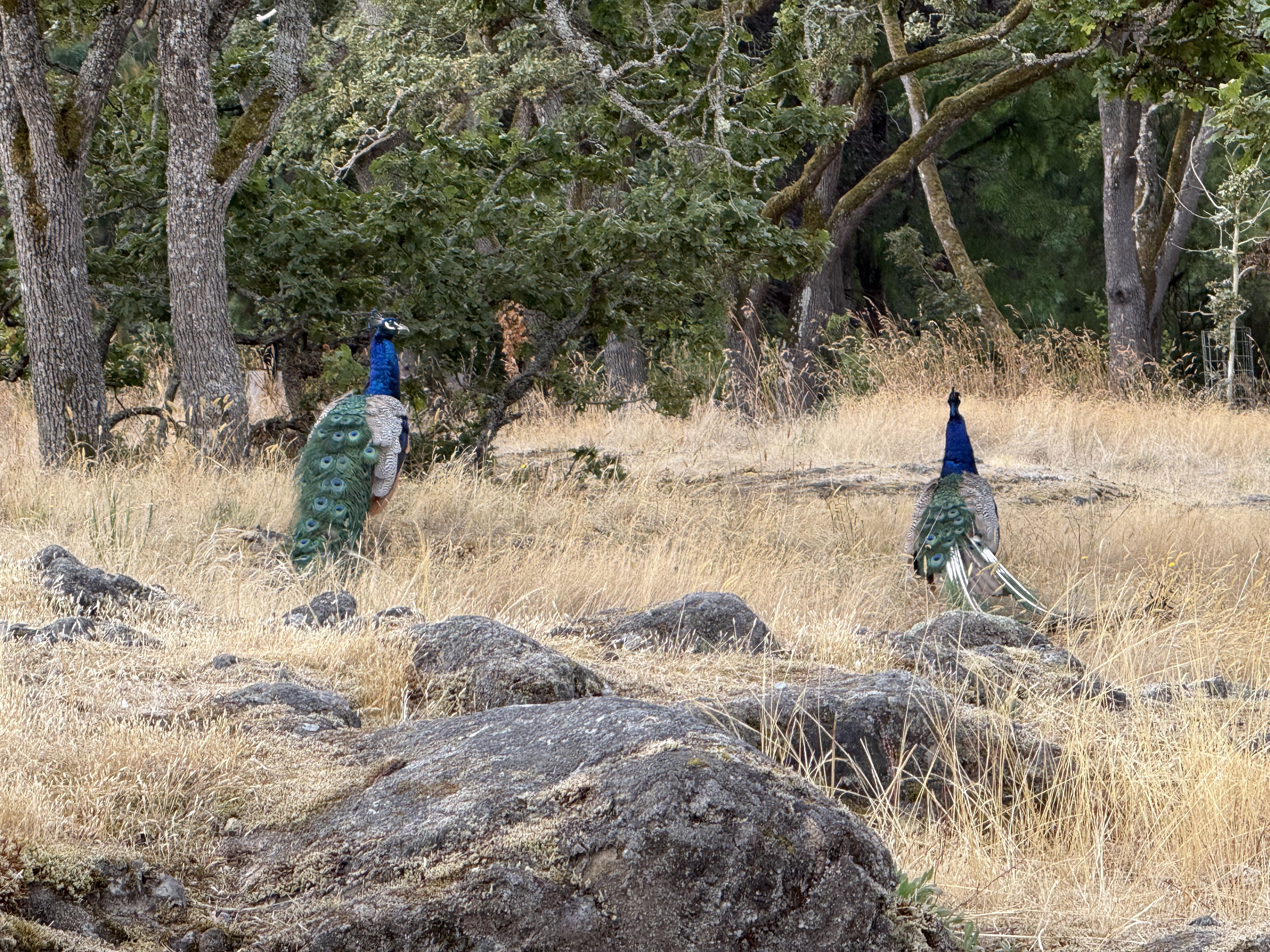
Beacon Hill Park is occupied by a flock of Indian peafowl (Pavo cristatus), which apparently are okay with the mild winters in the PNW.
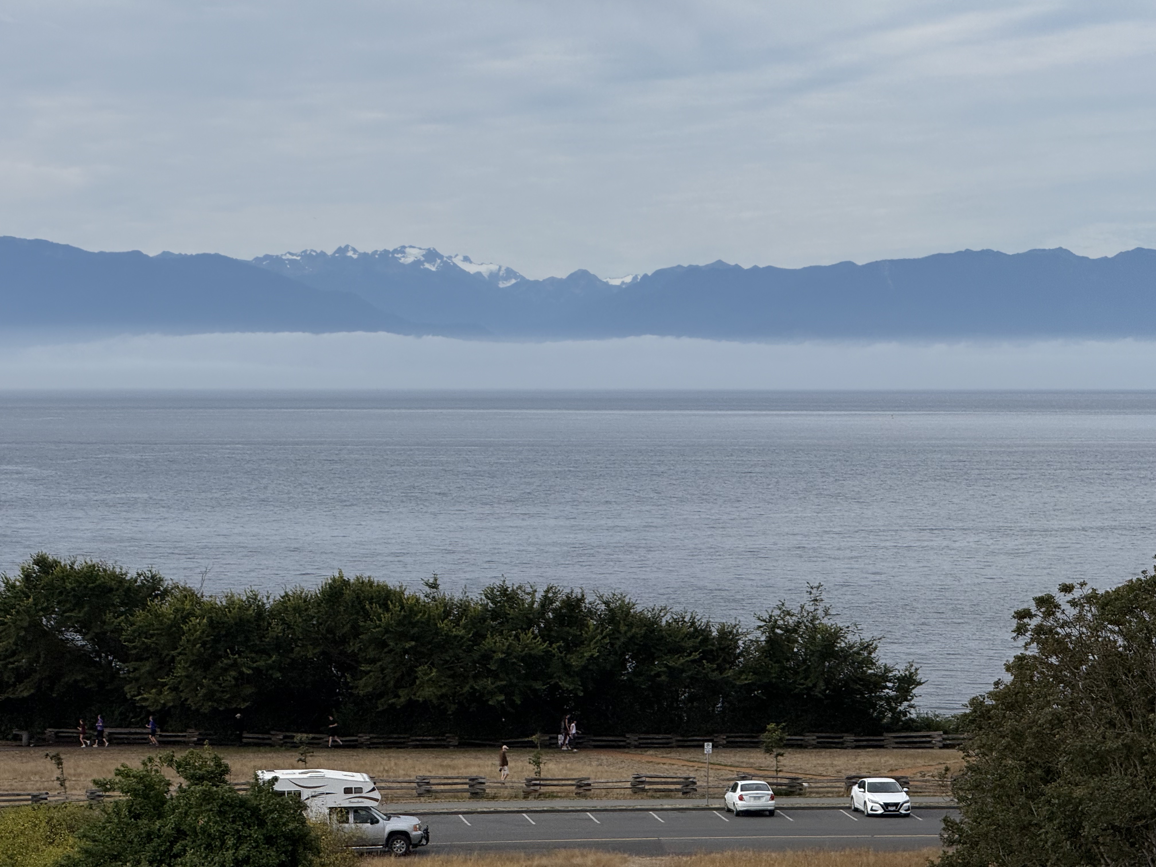
From Beacon Hill itself, you can see Mount Olympus (about 8000 feet elevation) across Juan de Fuca Strait. It is the snow-covered mountain, only forty-six miles distant.
Royal British Columbia Museum
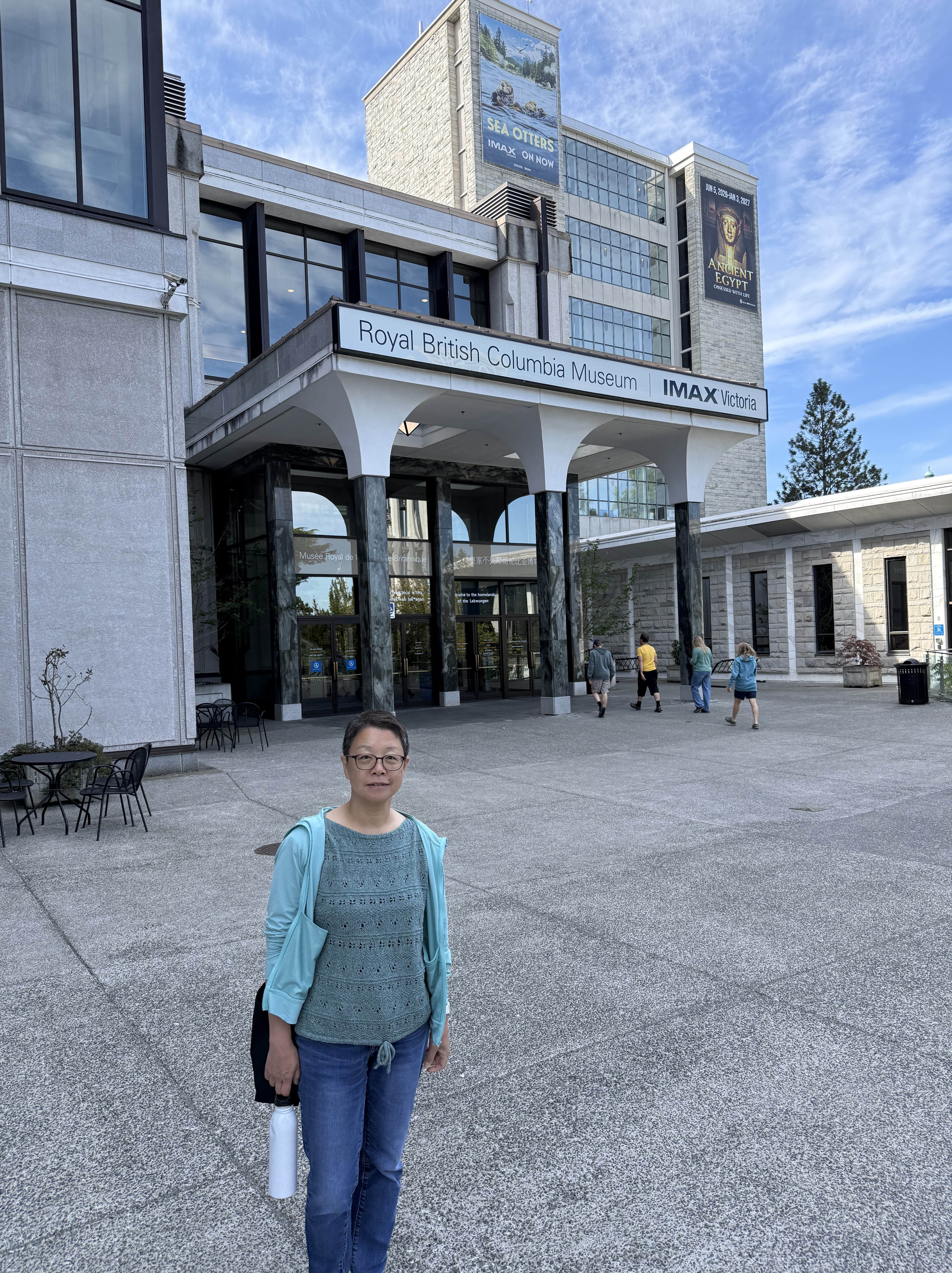
The museum had a display of Egyptian artifacts focused on death and the afterlife, but you can see something like that almost anywhere…
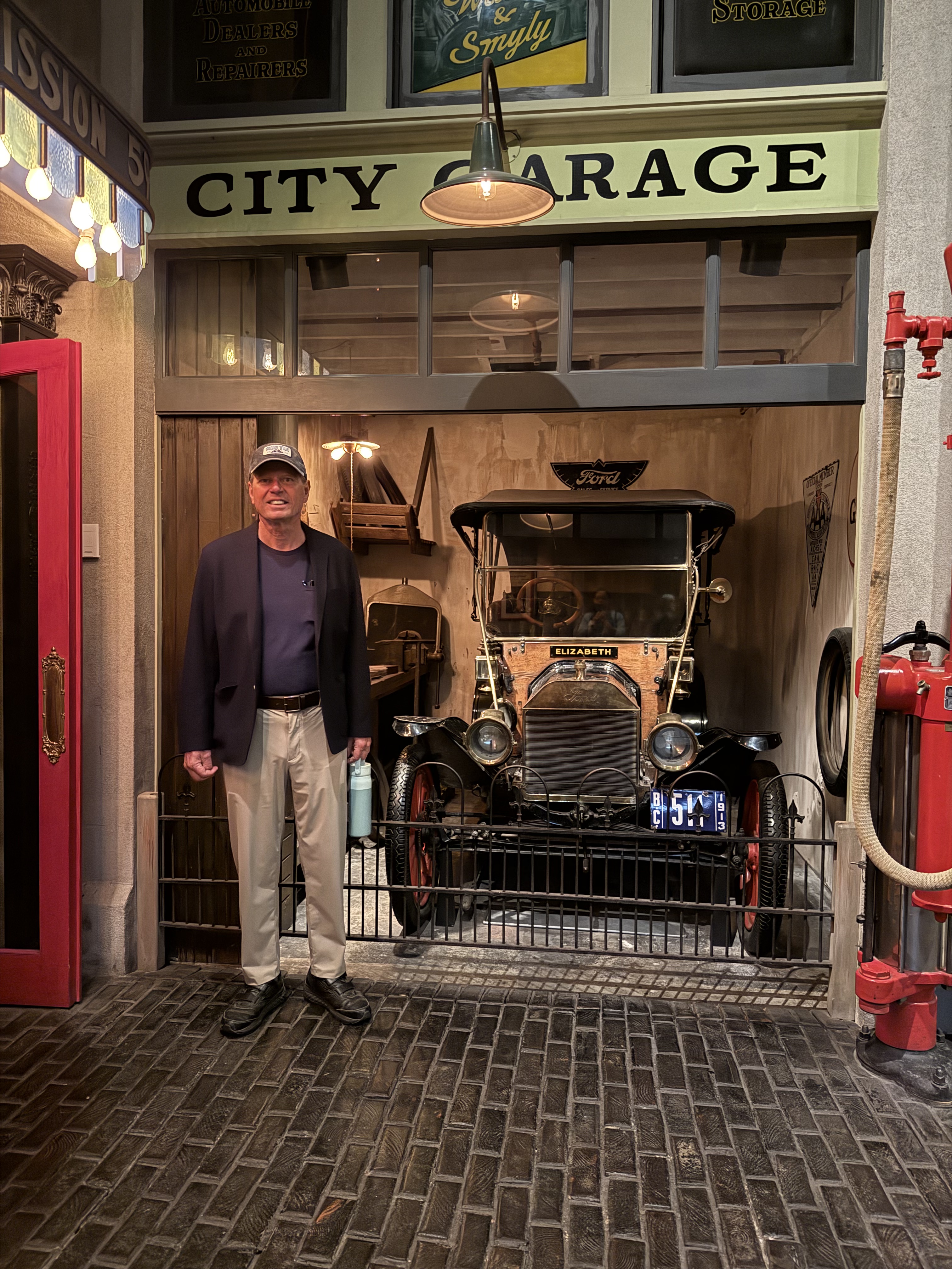
My favorite exhibit was an incredibly detailed recreation of life in Victoria about 100 years ago, which showed how the island evolved through the twentieth century. As an aside, I have a license to drive that Ford Model T, but that’s another story.
Craigdarroch Castle
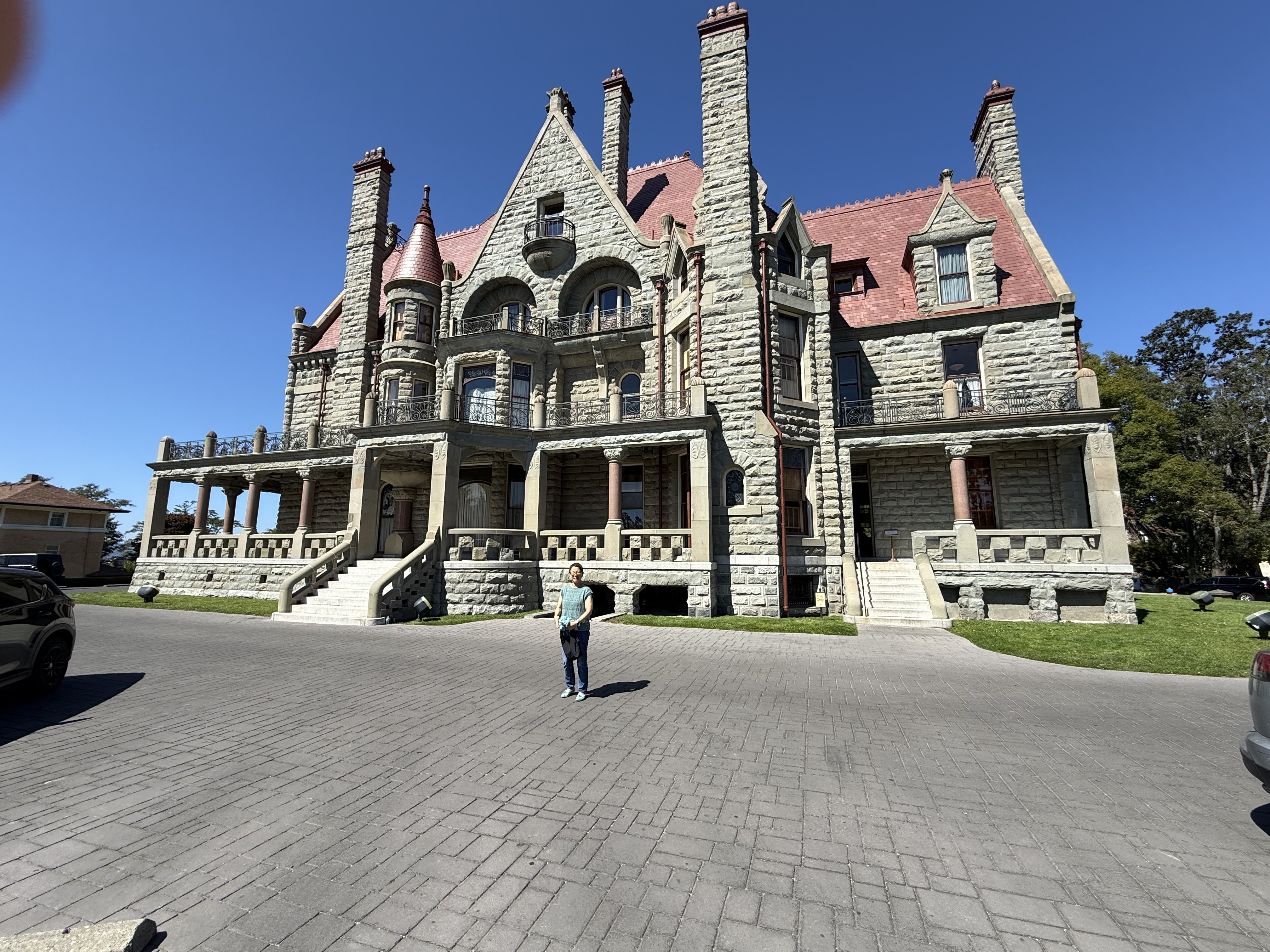
This luxurious estate (originally 28 acres) was built on a hill overlooking Victoria in the early 1900s by a coal baron, who didn’t live to occupy it. But his wife and children did. It served as a military hospital during WWI, which saw more than 200 thousand Canadian casualties. That’s a lot for a smaller country; those with long-term disabilities were sent to recuperate in places like this. The property fell into disrepair after the war, the property was divided into parcels for the surrounding homes, and eventually purchased by a non-profit society, who is restoring it to its original condition.
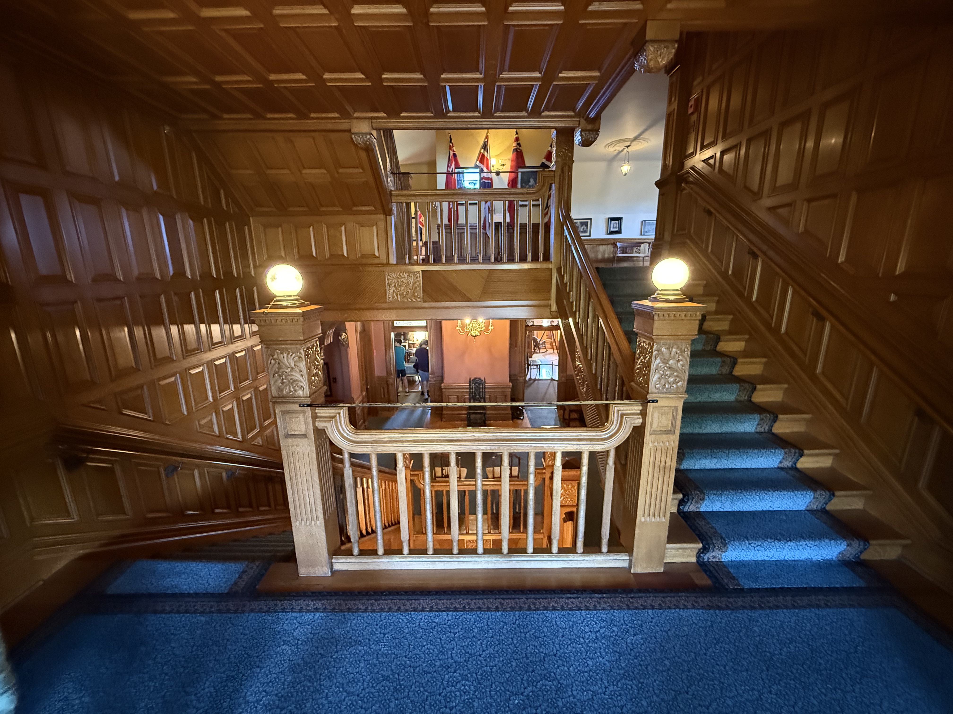
The interior is an eye-catching, and confusing, 4.5 floors of engraved wood and paneling, even the ceilings. The carpentry was completed by a Chicago company that had worked on several other mansions.
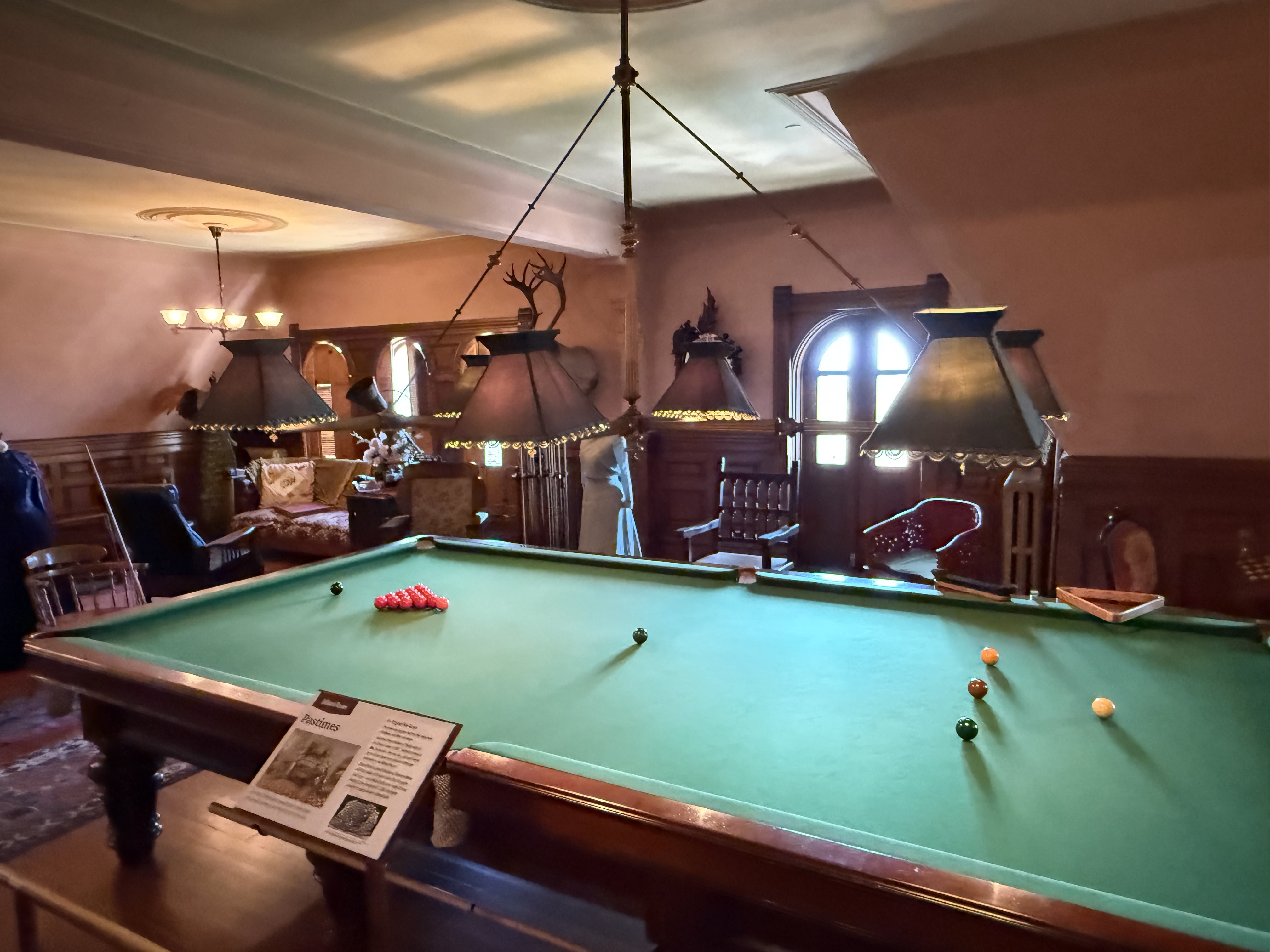
I’m sure that Robert Dunsmuir (the builder) would have enjoyed this oversized pool table. But the balls seem a little small–I guess it wasn’t for regulation play. The entire house was decorated to this detail.

Dinner is served. The kitchen has also been restored and tourists are encouraged to handle the stove and other appliances, but I wanted to keep this post as short as possible. LOL!
Port Renfrew
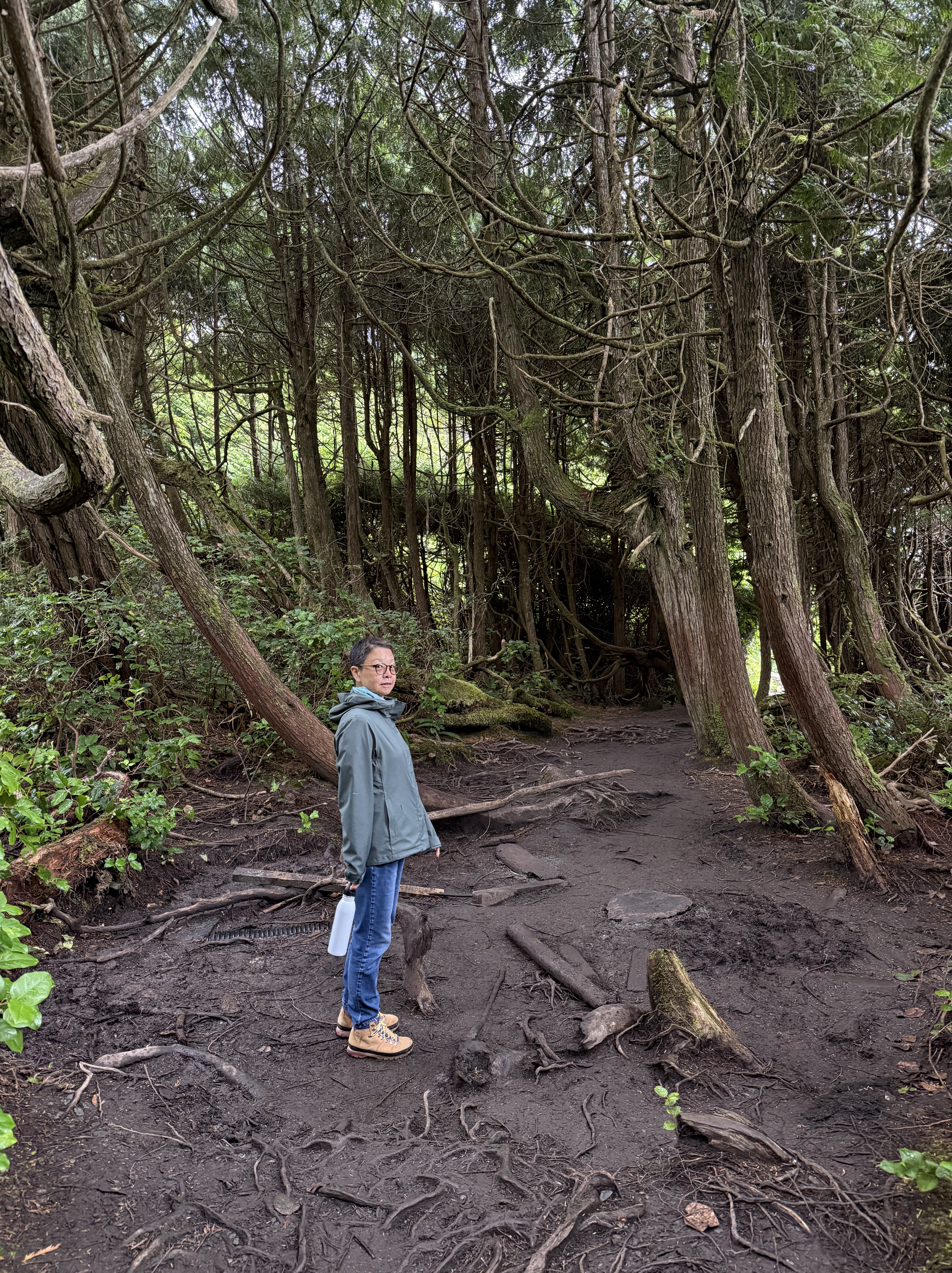
We finally used our car to drive the 68 miles to Port Renfrew. I don’t know why it’s called a port because it is a temperate rainforest with a few inhabitants, mostly catering to ecotourists. Obviously, this is not old-growth like Olympic National Park in Washington, but it’s working hard and fast to recover. We walked for a mile BENEATH a dense growth of ground cover, which had assumed monumental proportions. Surreal.
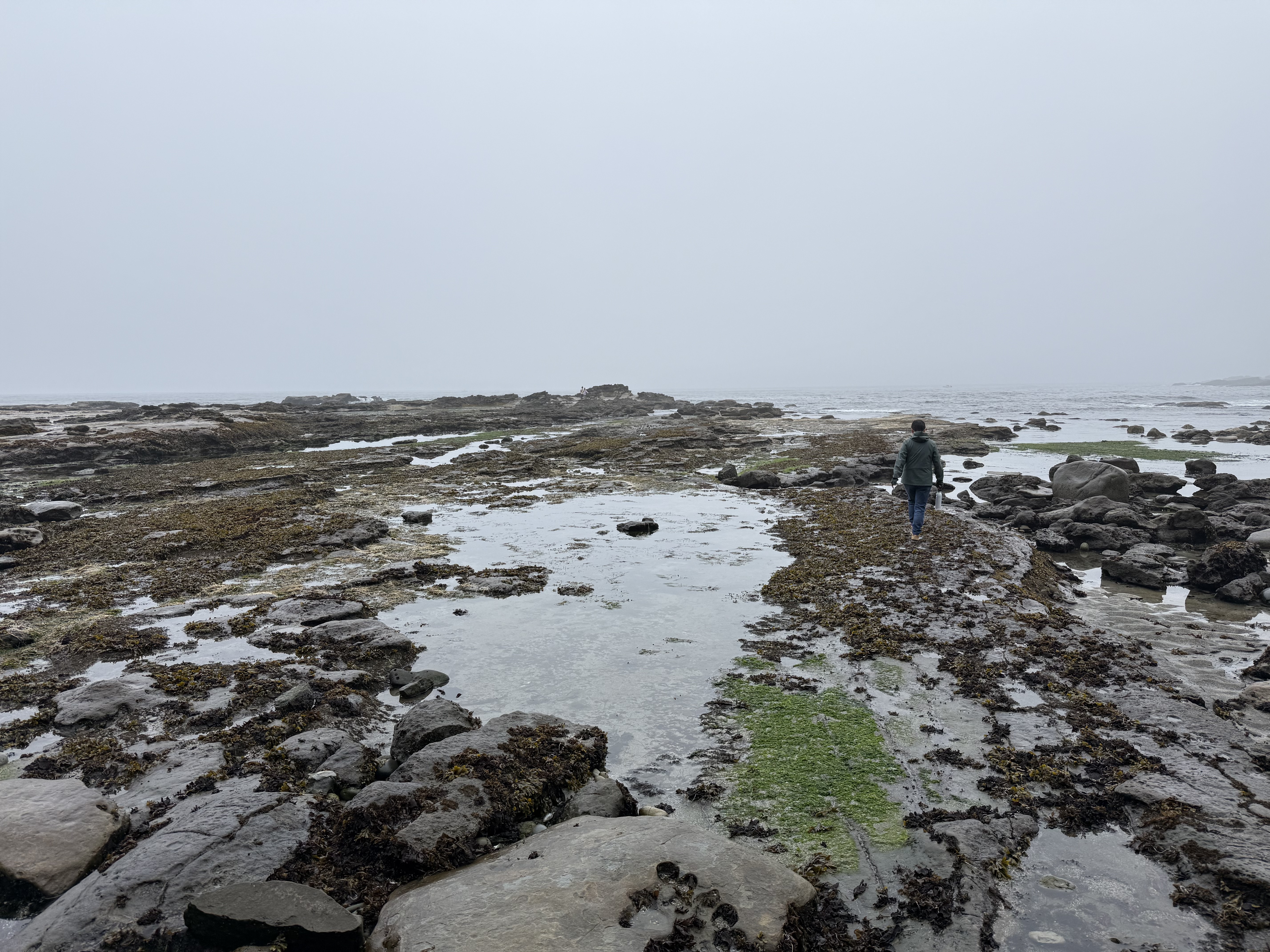
The tidal range is 7-10 feet, so a vast intertidal area exposes rock (I’ll address that in a later post) and a huge number of tidal pools, hosting a myriad of sea creatures.
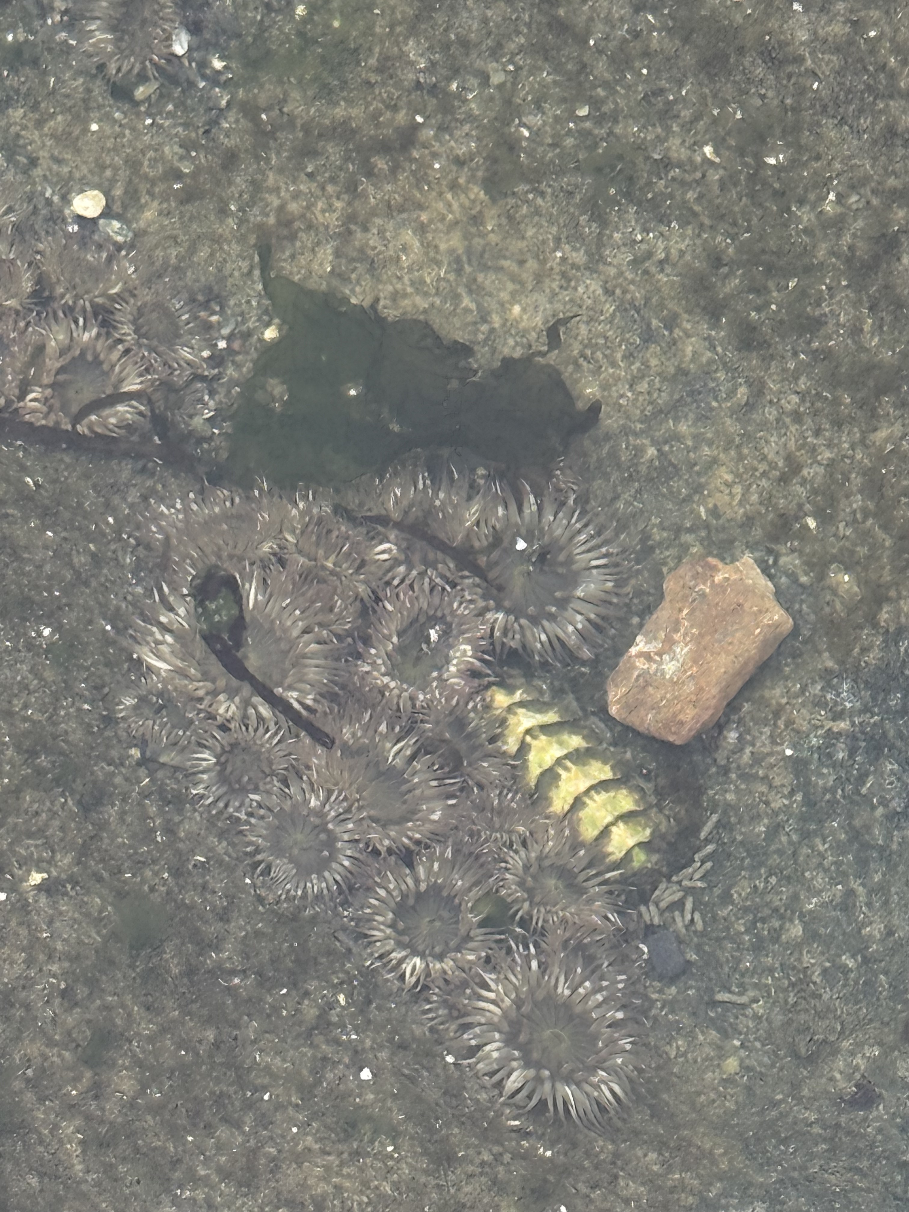
I took this photo in a tide pool scoured in sandstone, about two-feet across and one foot deep. According to ChatGPT the circular animals are sea anemones whereas the shiny critter is some kind of chiton (a distant cousin of snails and clams). While I was studying the rocks, everyone else was staring into the huge number of tidal pools scoured into soft rock, each a tiny world that is never dry because the tide comes in twice a day.
The Butchart Gardens
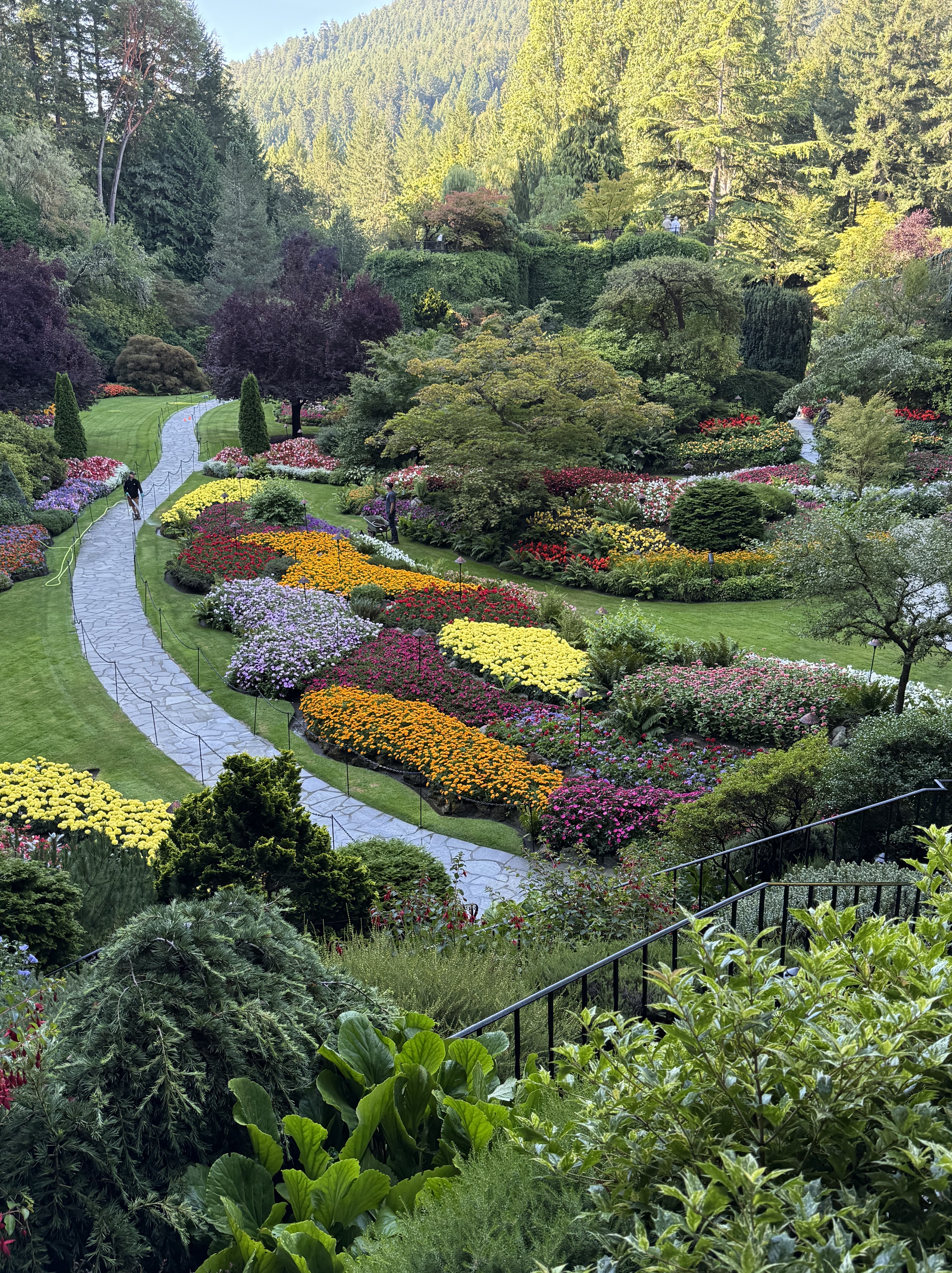
This incredible garden was constructed in and around an abandoned limestone quarry, by the owner of a concrete company–kind of like the castle built by a coal baron. They had a vision and a plan, which included international experts and a commitment by their children. This is the sunken garden. The meticulous care given this floral extravaganza was displayed by workers pulling weeds by hand, and dead-heading the flower in full public view–well worth the 46 Canadian dollar price of entry. No senior discount.
This display cannot be adequately shown in a video. The “pond” running through the sunken garden is 40 feet deep and pristine–and I mean PRISTINE. Ferns and other climbing plants were meticulously planted in cracks in the limestone walls of the quarry. It ain’t a quarry anymore.
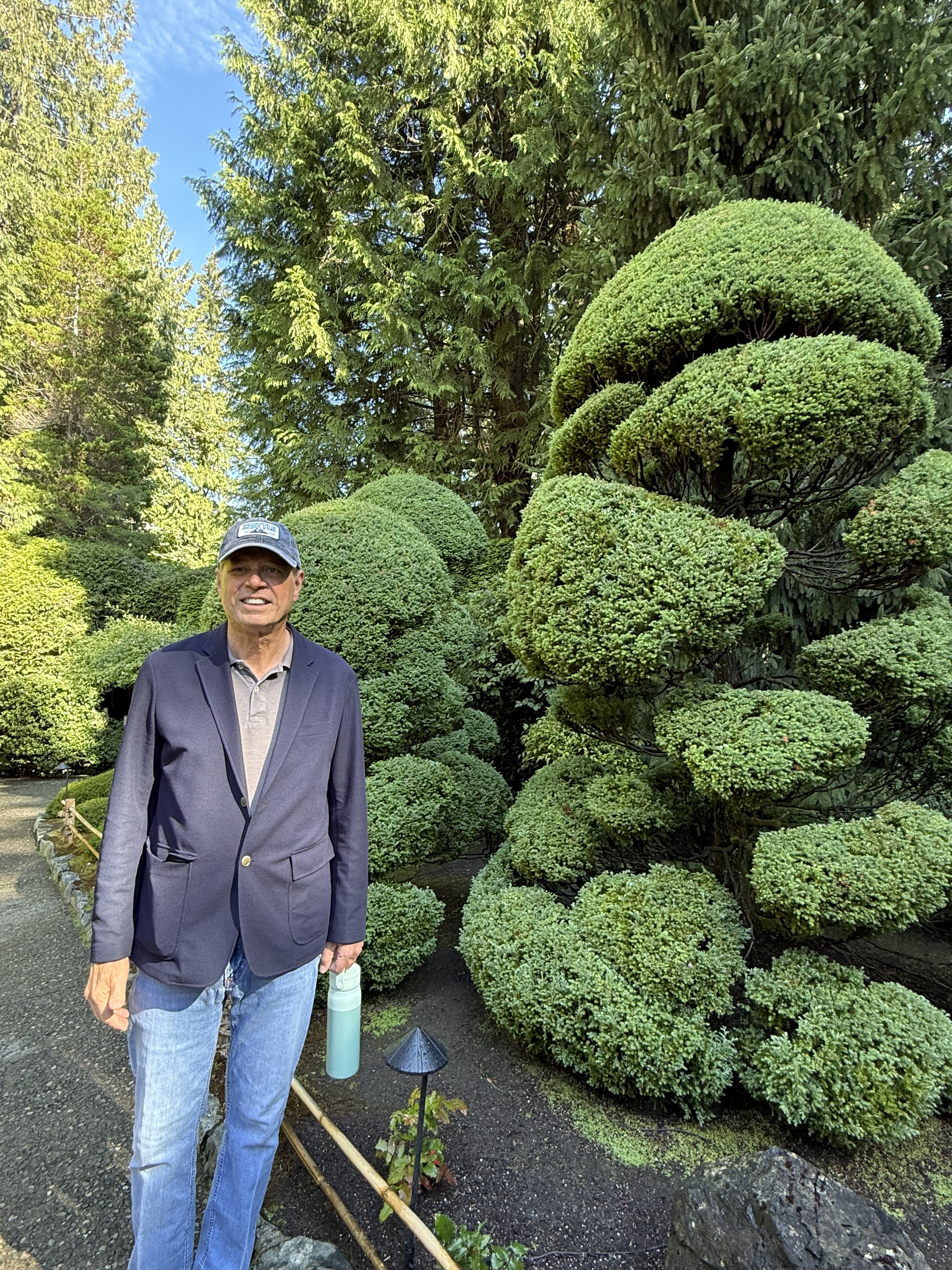
Butchart Gardens is more like an amusement park than a flower garden. Among the specialty gardens, I recall a Japanese garden with streams running throughout, the soft murmur of water encouraging me to take a seat on one of the many benches. There was a rose garden, with every plant labeled. An Italian garden. The topiary displayed in this photo was evident everywhere it was appropriate. And plenty of coffee bars…and washrooms (Canadian for toilet).
Mount Douglas Park
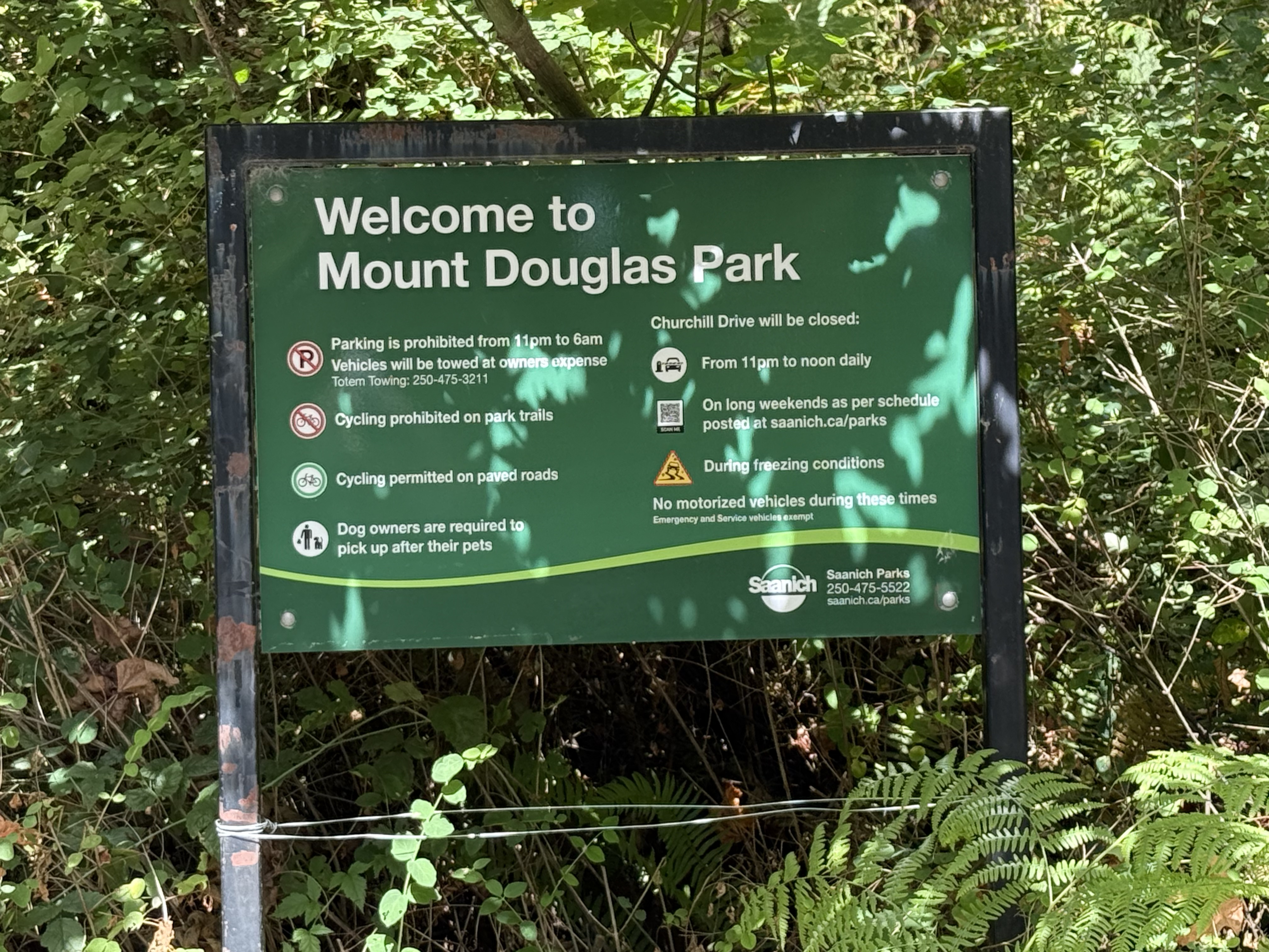
The sign welcoming us to Mount Douglas doesn’t say anything about blue trails or black trails. We learned about that when we climbed (not hiked) 600 feet in less than a mile–very similar to Piestewa Peak in Phoenix. By the time we found ourselves on a ledge overlooking Victoria, we figured out why the lettering was black on this trail.
It was a little scary, like riding The Hulk at Universal Studios the first time, but it was invigorating; neither of us got light-headed, except from the view…
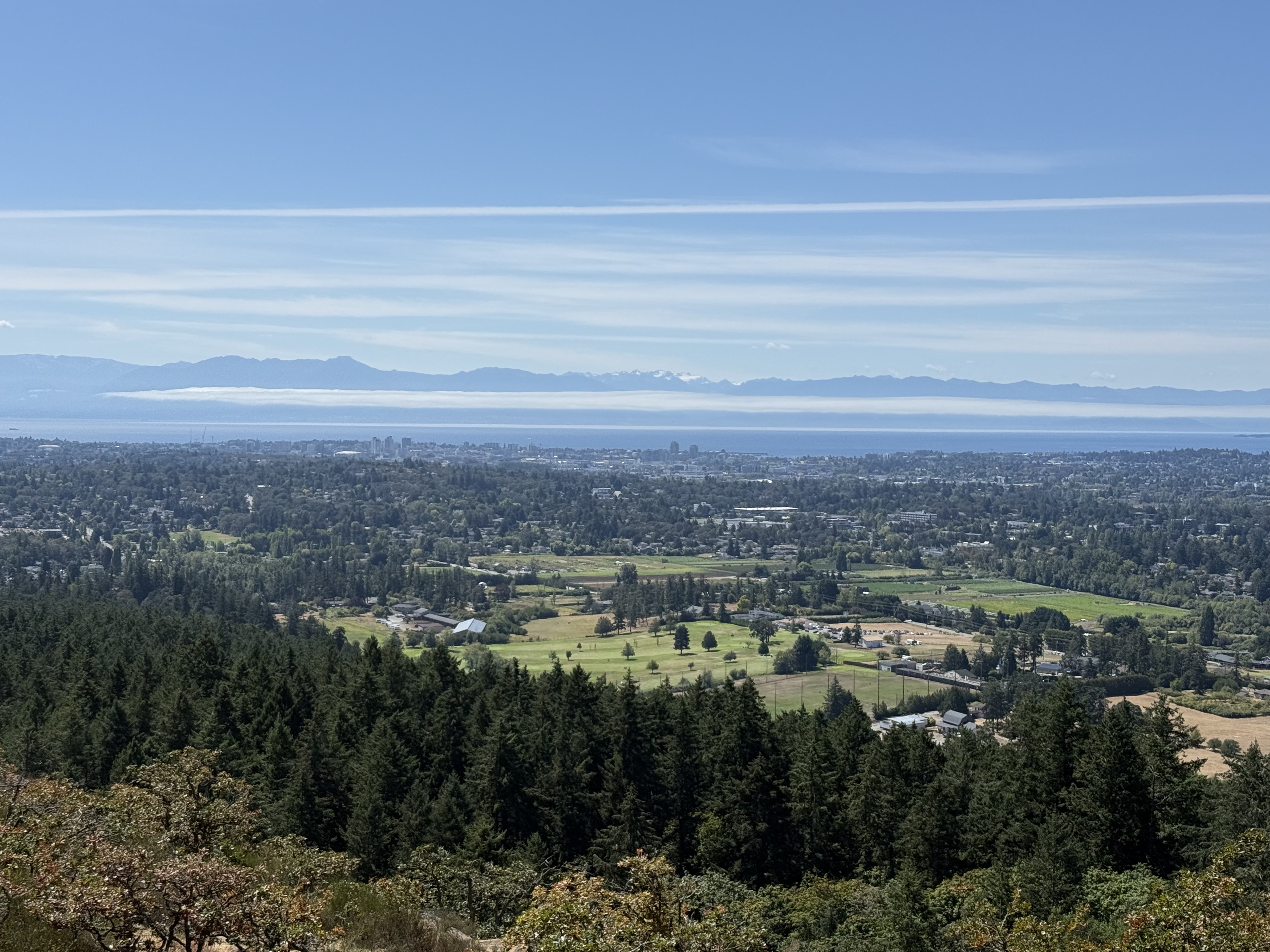
That is Washington across Juan de Fuca Straight. The low cloud bank covers the water between the U.S. and Canada. Snow-covered Mount Olympus can be seen in the distance.
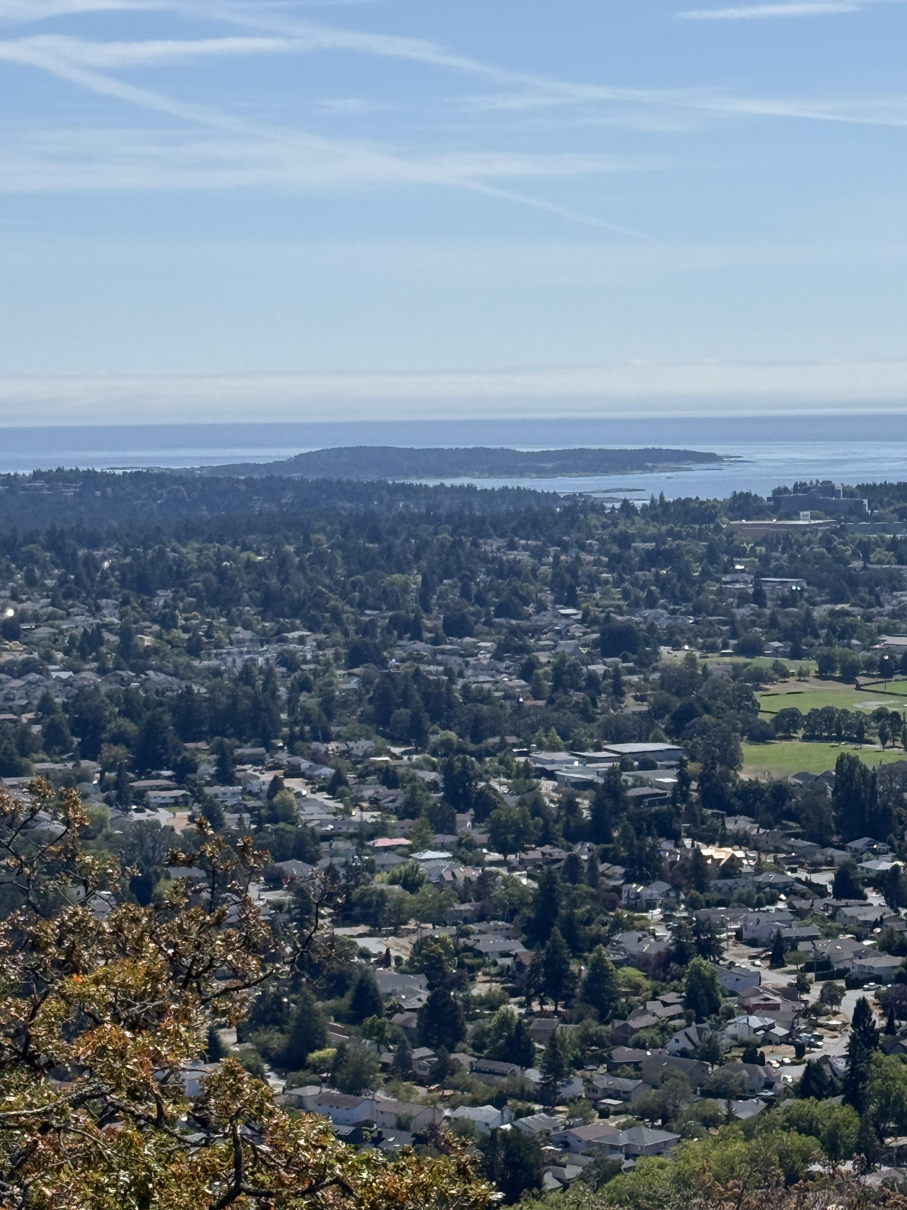
Looking east from the summit reveals a suburban landscape rather than a metropolis because Victoria’s downtown is north of Mount Douglas.
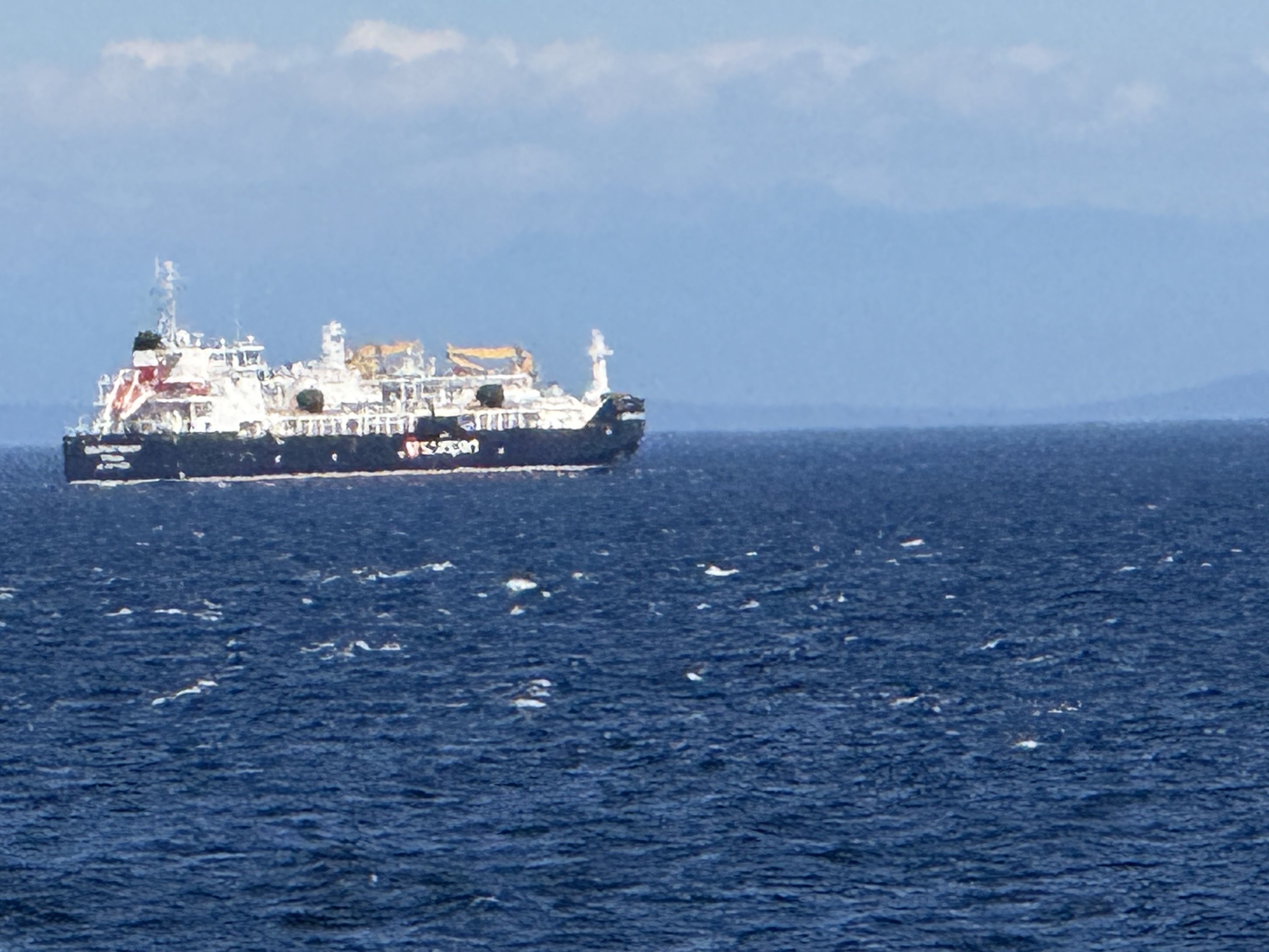
It was a busier day at sea on our return to Port Angeles. We saw two container ships, one smallish and one large, half-filled one, and this vessel. It was several miles from our ferry when I took this pixelated image, but ChatGPT identified it as probably the Seaspan Lions, an LNG bunker vessel; this is a new class that transfers liquified natural gas to larger, oceangoing vessels from Vancouver or other Canadian ports. I mention this because I’m fascinated by technology (real tech, not digital bullshit). These smaller vessels transport LNG from ports too small to accommodate large vessels, which are three times as long and ten times as heavy.
Final Thoughts
What a ride!
If you ever take a cruise to Alaska to see the glaciers, or even a cruise to Hawaii during the off season, take a couple of days to experience Vancouver Island. Despite being the capital of British Columbia, the only contact with North America is by boat, even from the city of Vancouver–British Columbia geographic names are confusing.
The best thing about this trip was that we never felt like we’d left home. Victoria feels like Washington, and even The United States in general. They don’t have the humorous Canadian accents I’ve seen on TV. They drive the same cars, shop in the same stores, and even go to the washroom–just like I did, growing up in Arizona in the 60s and 70s.
Best short vacation EVER!


Trackbacks / Pingbacks