
Mima Mounds Natural Area Preserve
It was unbelievably gorgeous weather here in the Pacific Northwest (PNW), with a high of 74 F, so we took a look at a couple of nearby natural areas.
Mima Mounds
This exceptional area isn’t unique but it is an unsolved geological problem. It is also peculiar in being a transition zone between active prairie and forest ecosystems. I’ll try to explain this with photos, and some help from CoPilot, Microsoft’s version of ChatGPT. However, I won’t solve the geological conundrum, which may never be fully explained.
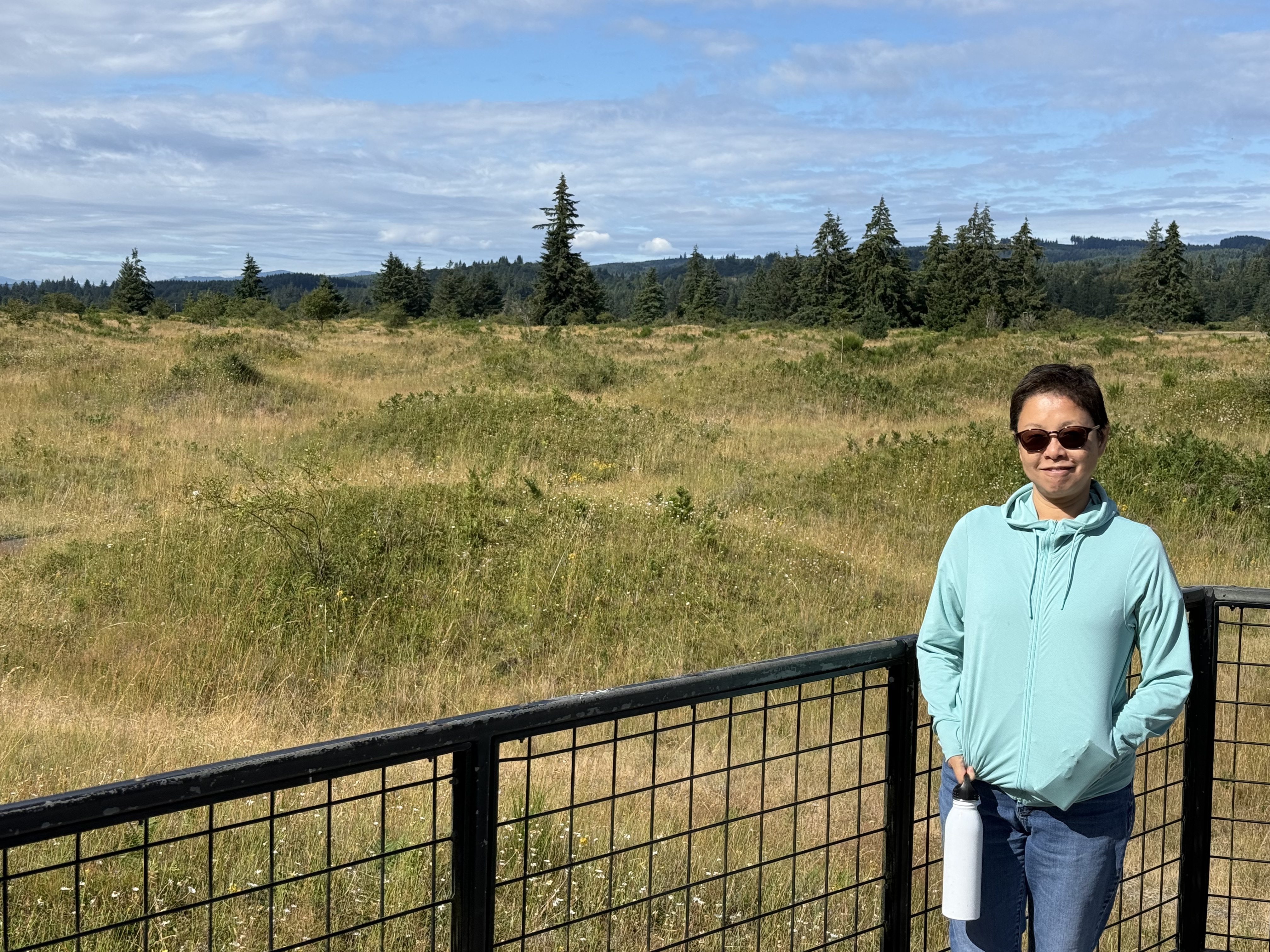
The Mima Mounds are about 16500 years old. They formed as the last continental ice sheet retreated from Washington. The mounds you see in this photo sit atop a gravel surface created at the southern extremity of this glacier. People, including the native Americans who have lived here for tens of thousands of years, have been perplexed by this bizarre topography.

There is a 1.9 mile trail that goes through the area; however, when European Americans first came here, this topography extended for more than twenty miles. Most of it has been demolished.
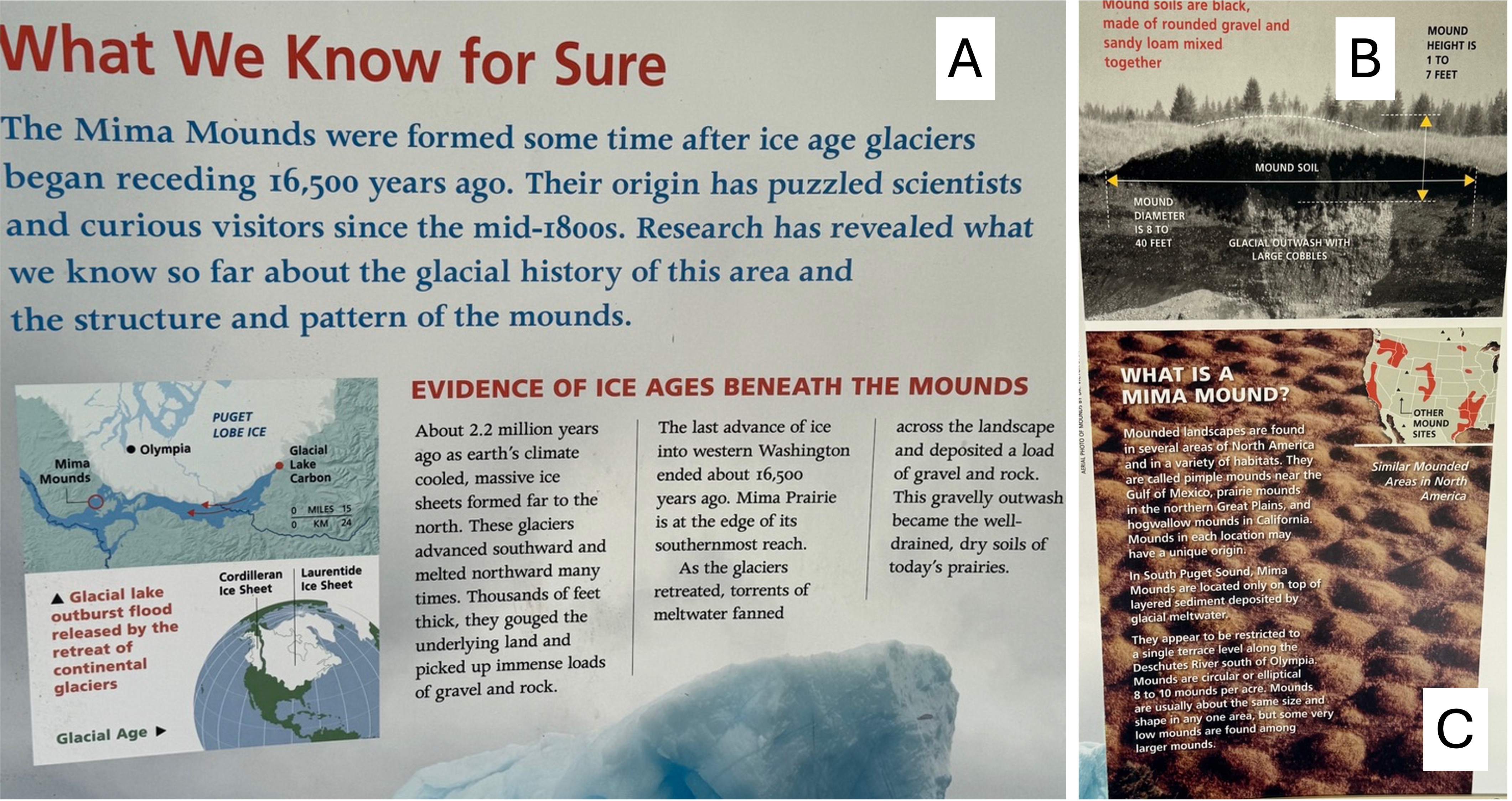
This is a portion of the information board at the interpretive center. (A) The Mima Mounds were constructed after the ice sheets began to retreat for the last time. The inset map shows the location of the NAP relative to the glacier and modern cities. This was the absolute furthest south of thick ice, but that doesn’t mean it was warm. (B) This is a rare photo of a cross-section through a mound. The dark soil is organic-rich and excellent potting soil. The subjacent glacial outwash is gravel. (C) This is a photo from the air, which shows their regular spacing. This is the geological problem. How could they have formed over about 400 square miles?
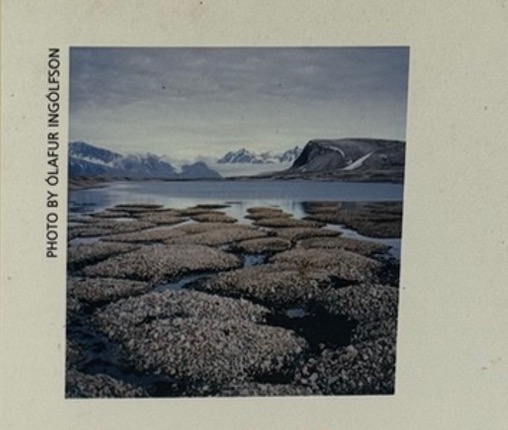
There are many theories for the origin of the Mima Mounds, and other mounds found in N. America and elsewhere. These are summarized on the Wikipedia page. I included this photo because it was on the poster; and the size/shape of these blocks of permafrost from Scandinavia are a good match to the mounds we saw. And they are in a similar, post-glacial environment.
Prairie Ecosystem
I’m discussing both the geology and ecology of Mima Mounds together in this post because they are inextricably connected. There are two ecosystems competing for space in this lumpy prairie environment. The result is there for anyone to see, if they ask the right questions.
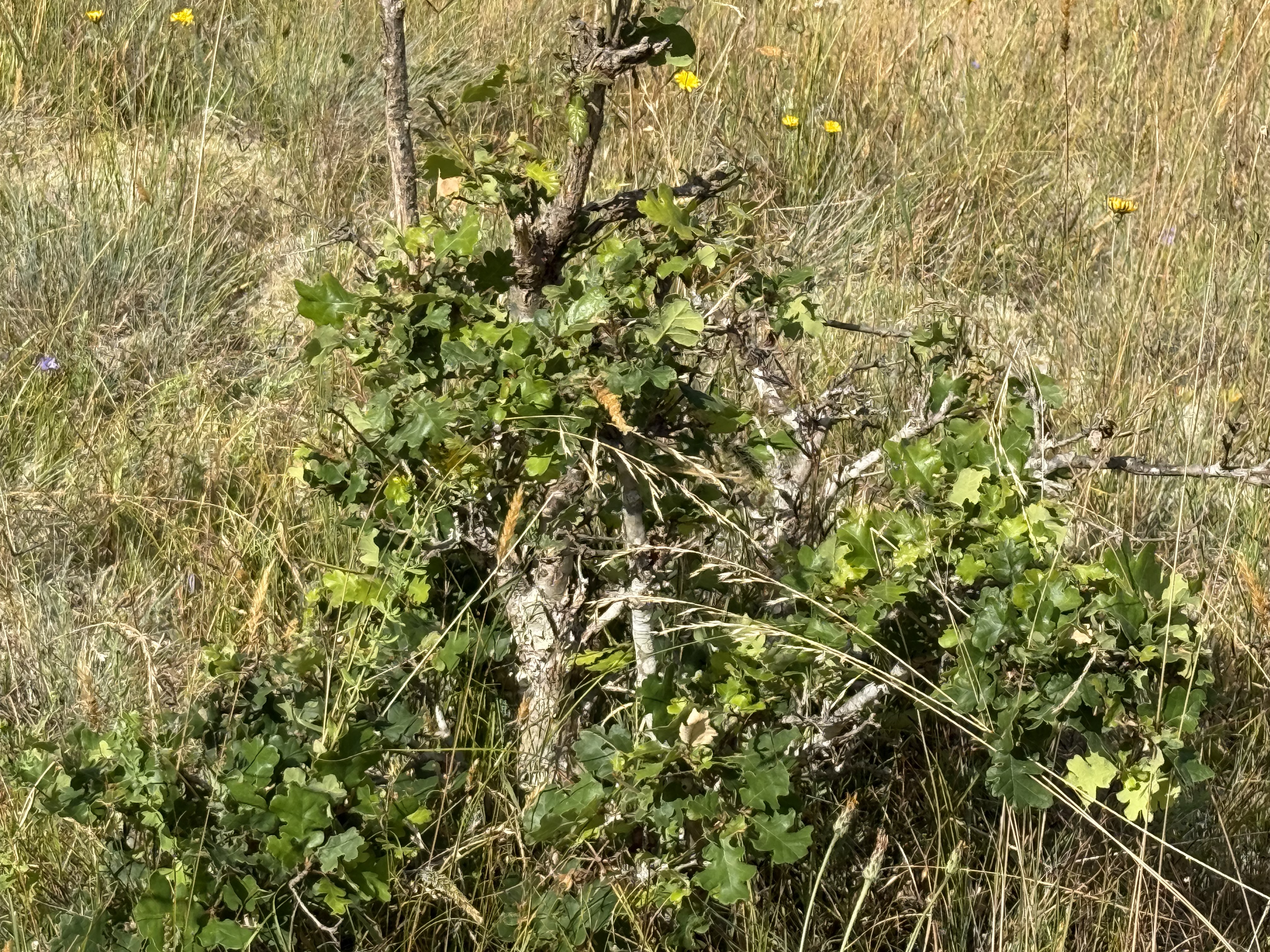
This low shrub was identified by CoPilot as snowberry, which is a staple of the prairie. I only saw them on the mounds, their roots in good soil, but apparently they also do well in the sandy glacial soil. From my perusal of the internet, I can’t disagree.
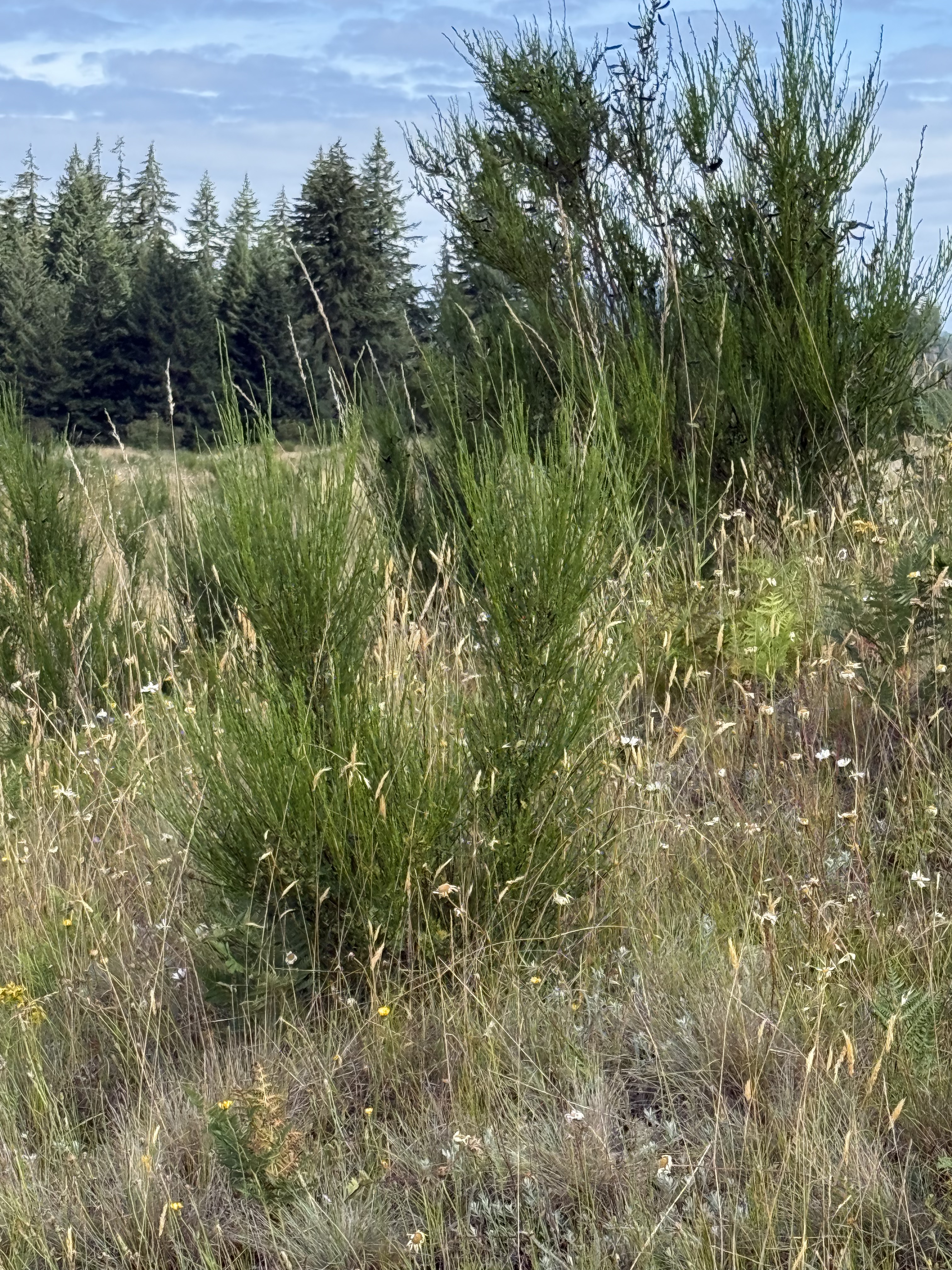
My ignorance is hilarious. I thought this was some kind of wildflower … but CoPilot identified it as a Douglas fir seedling. They were growing only on the mounds, sometimes in clusters. This is evidence (to me and CoPilot) that this is a dynamic transitional environment where forest species coexist with prairie flora.
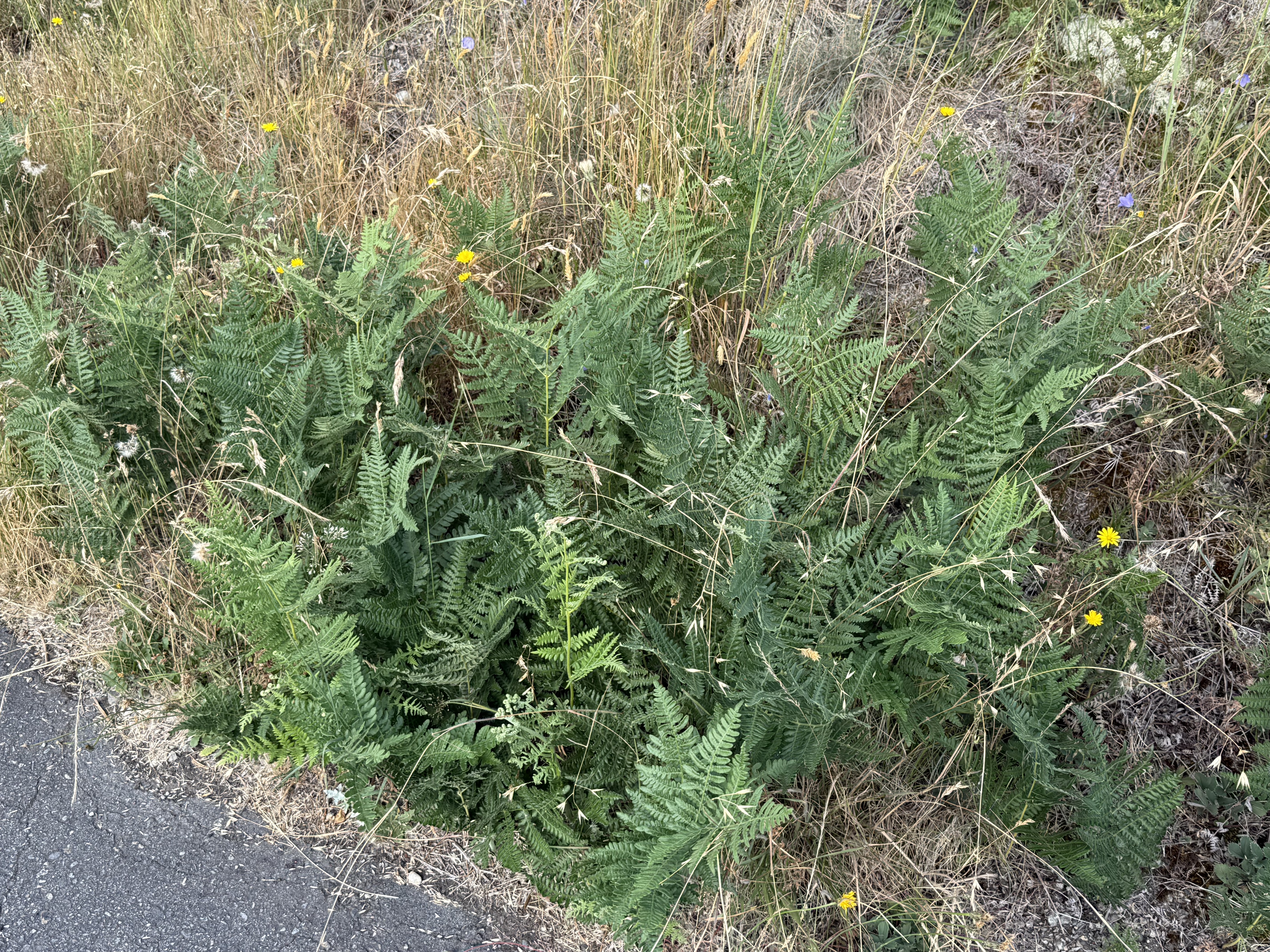
This fern caught my eye because it is not a natural inhabitant of a prairie ecosystem. However, the mounds are near a forest, so … CoPilot thinks it is a bracken fern, which is native to the area but not a prairie environment. It often behaves as an aggressive colonizer in disturbed edge habitats. That last phrase gets my attention because this preserve is at the edge of a mature forest.
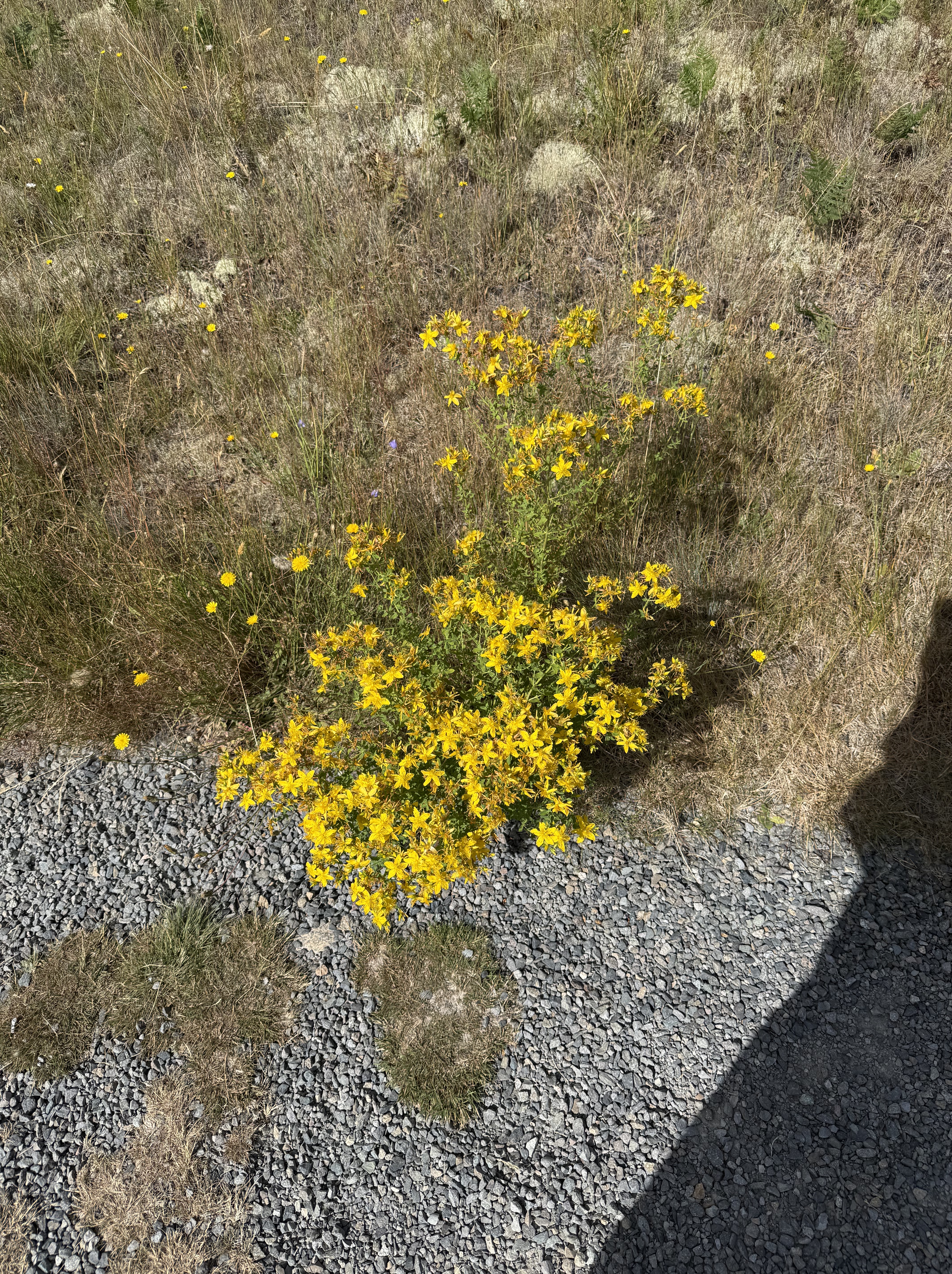
This lovely flowering shrub was identified by CoPilot as a species of Lotus, commonly called Spanish Clover, deervetch, or trefoil. It grew in the sandy areas between the mounds. My quick check can neither confirm nor deny this identification, but this common variety of clover is native to the PNW.
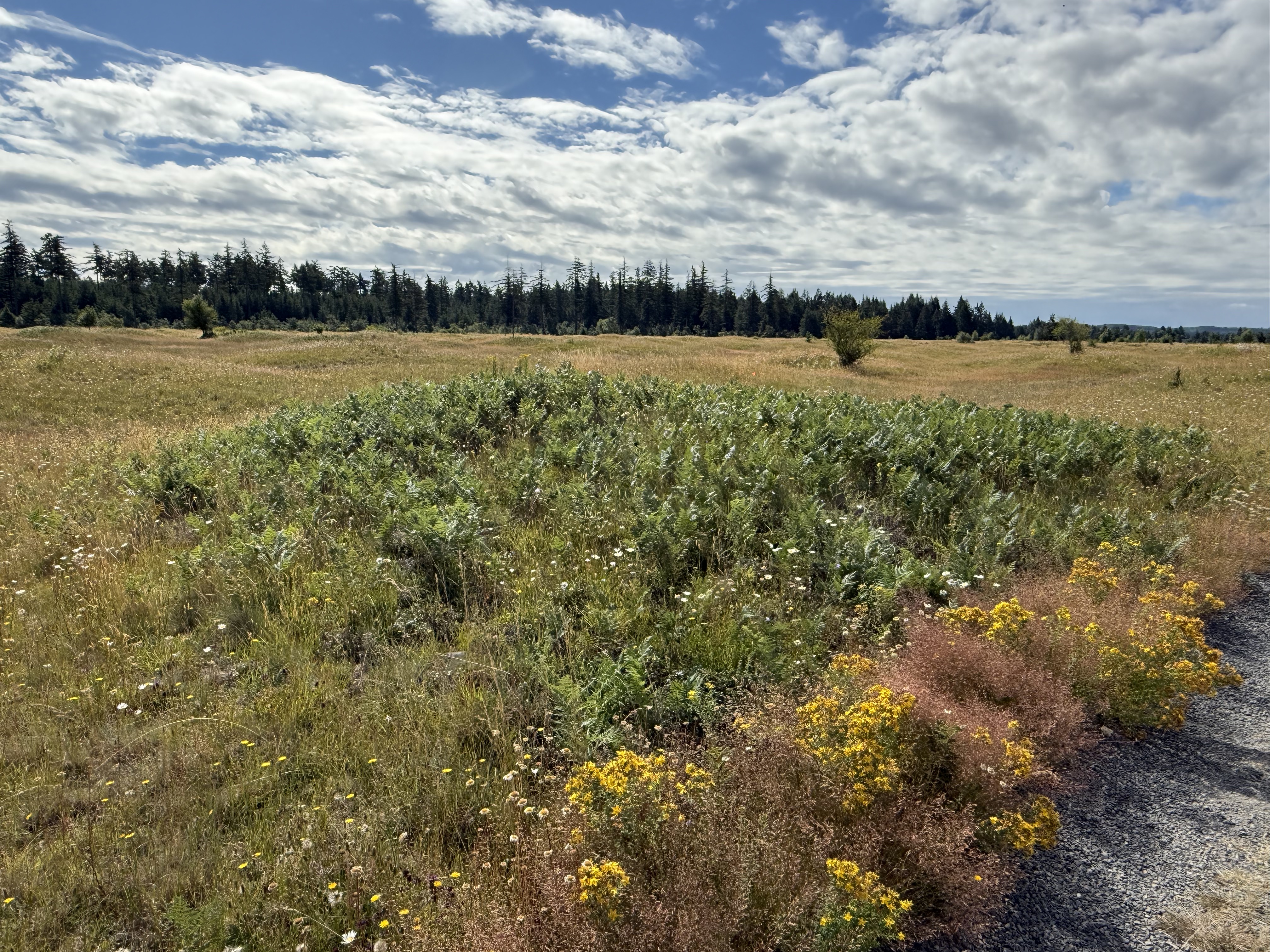
This mound is populated by bracken ferns, crowding onto the area with good soil.
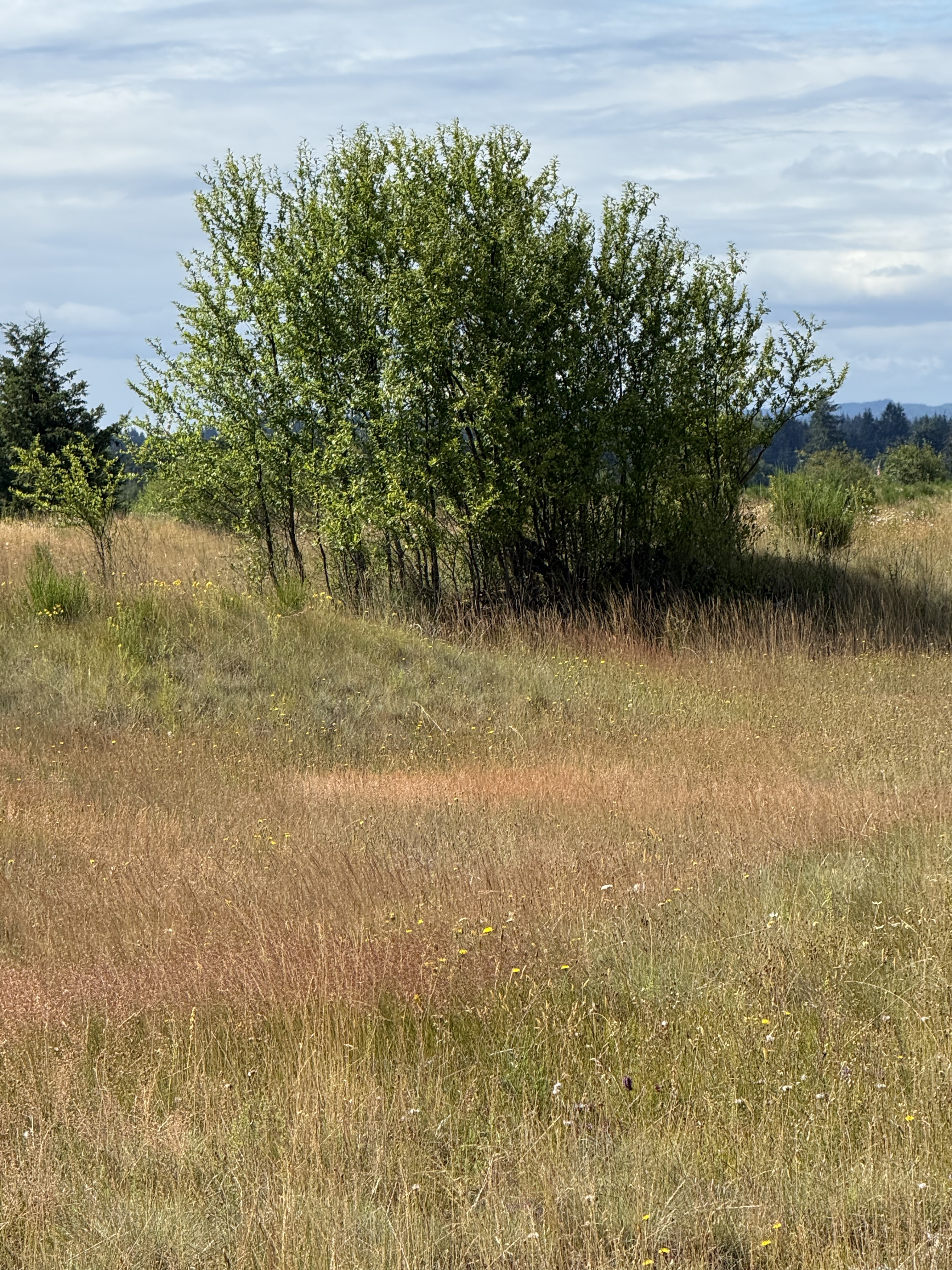
I don’t know what species this copse of young trees is, but it is obviously encroaching on the prairie ecosystem.
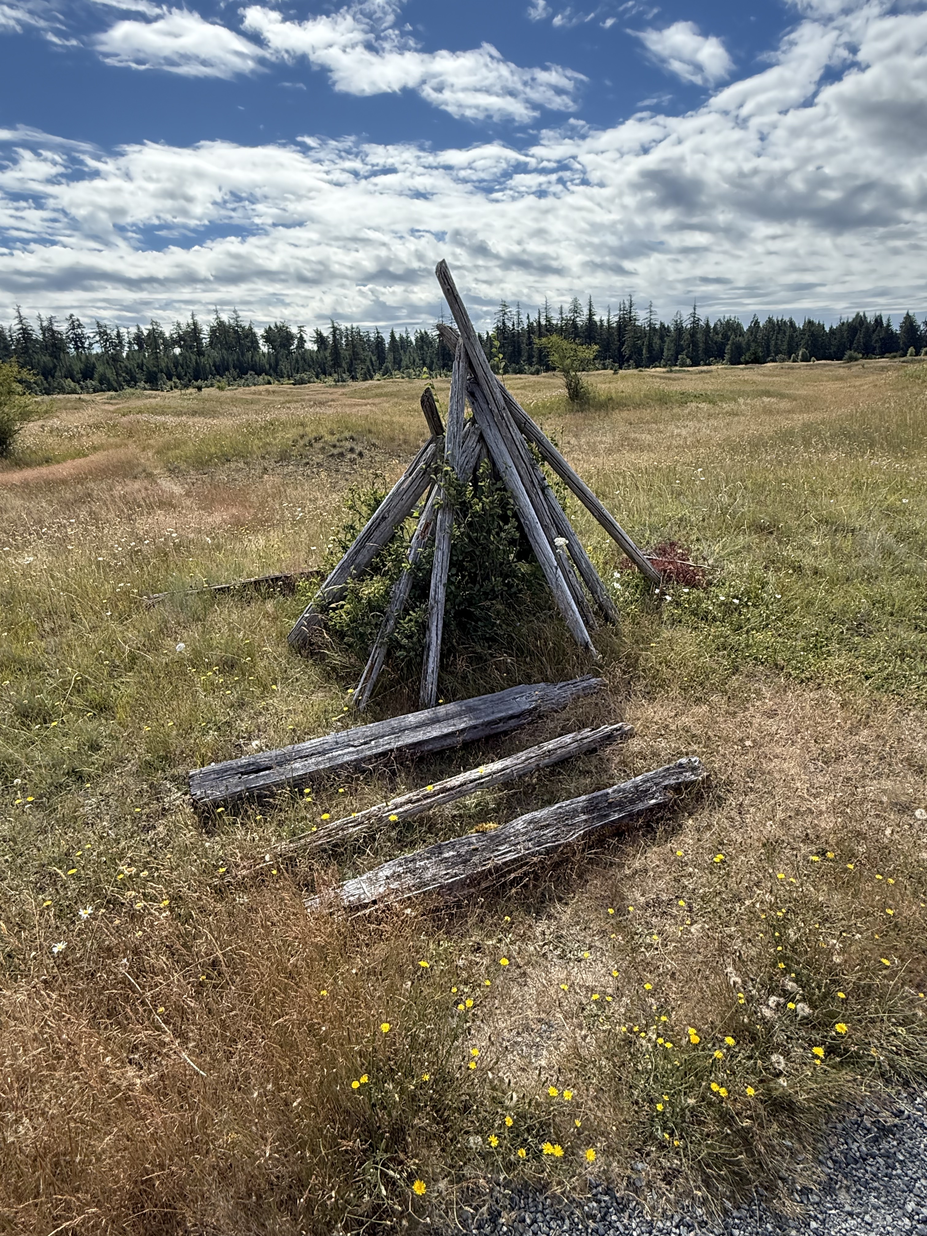
You never know what you’re going to find when you go outdoors. According to CoPilot, this is probably the result of NAP’s policy of not removing human artifacts that don’t interfere with the environment. Manpower shortages, policy priorities, etc. Mima Mounds was established in 1976, so it’s fair to say that this structure is at least that old. I guess NAP hasn’t gotten around to it yet, which fits my nascent sense of priorities in the PNW.
Bill Frank Jr. Nisqually National Wildlife Refuge

We stopped for a quick visit, which turned into a one-mile death march (for me, after walking 4 miles on uneven ground), to see where the Nisqually River empties into Puget Sound. It originates from the face of an alpine glacier above 6000 feet on Mt. Rainier. This is a tributary stream that forms a series of algae-covered ponds.
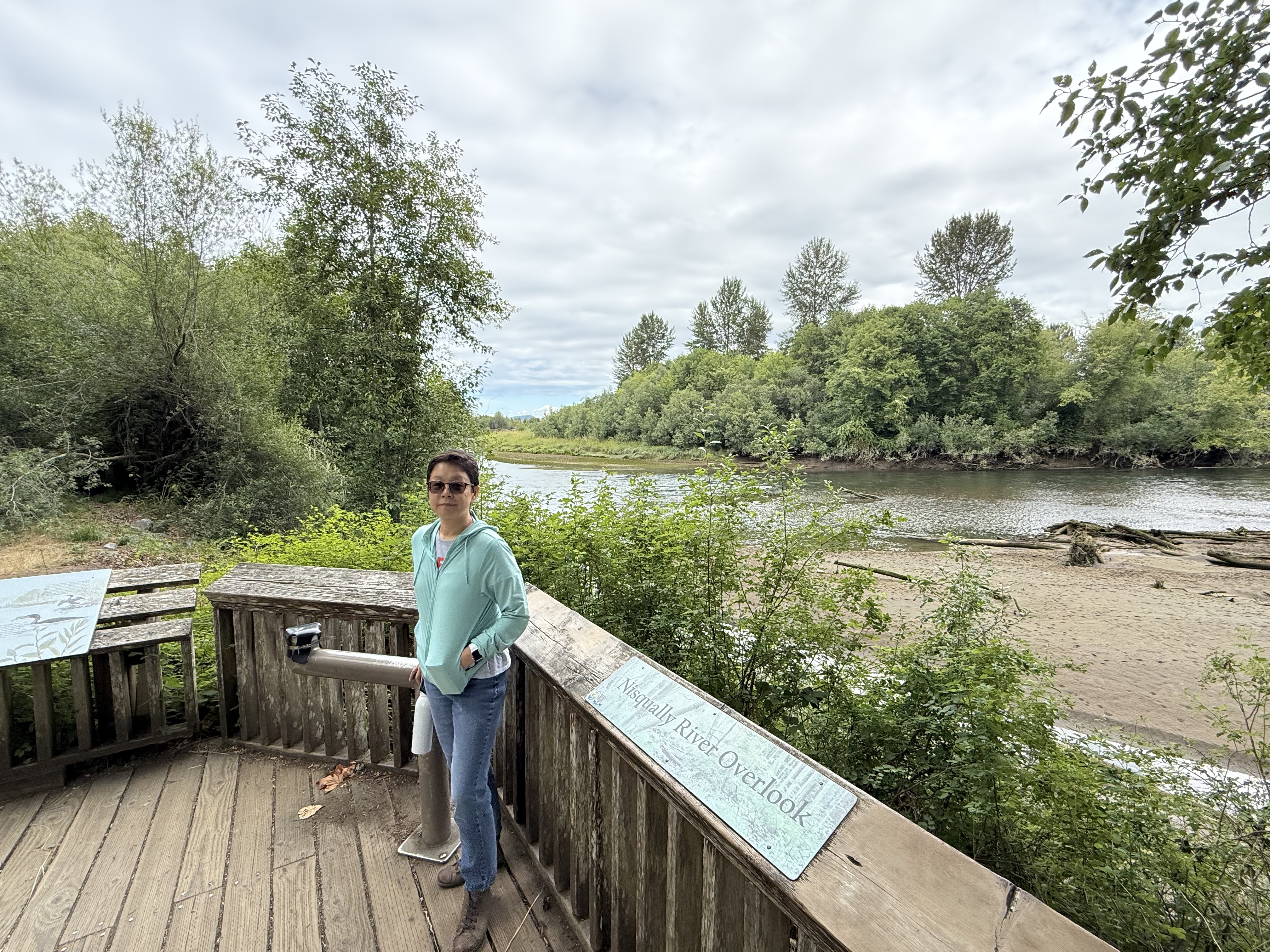
Here we are, less than a mile from the Nisqually River’s delta in Puget Sound. There is a lot of downcutting and the creation of sand bars, but no boulders or even cobbles. This glacial river has been tamed by nature over a distance of about eighty miles, but it is still flowing pretty fast. We didn’t make it to the delta … maybe next time.
Summary
This was a great day trip to a fascinating and beautiful area, where the prairie and the forest compete for space on the top of mounds of top soil whose origin is a mystery. This back-and-forth movement of plants on timescales of years to decades suggests that the PNW is alive and well, the flora responding to minute changes in soil and air temperature/moisture, precipitation, wind, etc. Let’s hope these two thriving ecosystems can continue their dance without further human interference.
I have my own hypothesis about the formation of the Mima Mounds, which is consistent with the facts. 1) As the glacier melted and retreated, over thousands of years, shallow lakes developed in local depressions. These lakes were shallow, perhaps twenty feet deep, and limited in extent. 2) Fine-grained sediment (i.e. mud) and organic debris settled in them to depths of no more than ten feet. They were ice covered for part of the year. 3) As the glacier retreated further, streams began to superimpose their beds onto this landscape, but they weren’t like a glacial river (e.g. Nisqually River). These were weak streams flowing over a post-glacial landscape, meandering and not cutting new channels. 4) This mild erosion was superimposed on a landscape dominated (in this area) by an antecedent pattern like that seen in the Arctic (see above photo). Fine-grained sediment was removed, following a suture pattern until only irregular bumps remained. 5) This process of sheet-flow erosion continued to the present day, leaving us with these paradoxical mounds.
I am a sedimentologist, so I think in terms of turbulence and flow as interconnected processes that alter a landscape slowly, one grain of sand at a time. There wasn’t enough turbulence to strip away the veneer of clay over this basin in the time allowed, so it chipped away at the weak edges of lumps of soil that were probably held together by the roots of plants.
In other words, the thawing of permafrost created the pattern, and turbulent flow polished it to what we see today.
Prove me wrong…


Trackbacks / Pingbacks