
A Day Trip to Yakima
We wanted to see what was on the other side of the mountain, so we headed east from Tacoma and crested the Cascades at Chinook Pass. It was snowing at the pass and fog/clouds obscured what were probably majestic views. We pushed on to Yakima and found the Cowiche Canyon recreation and conservancy area.
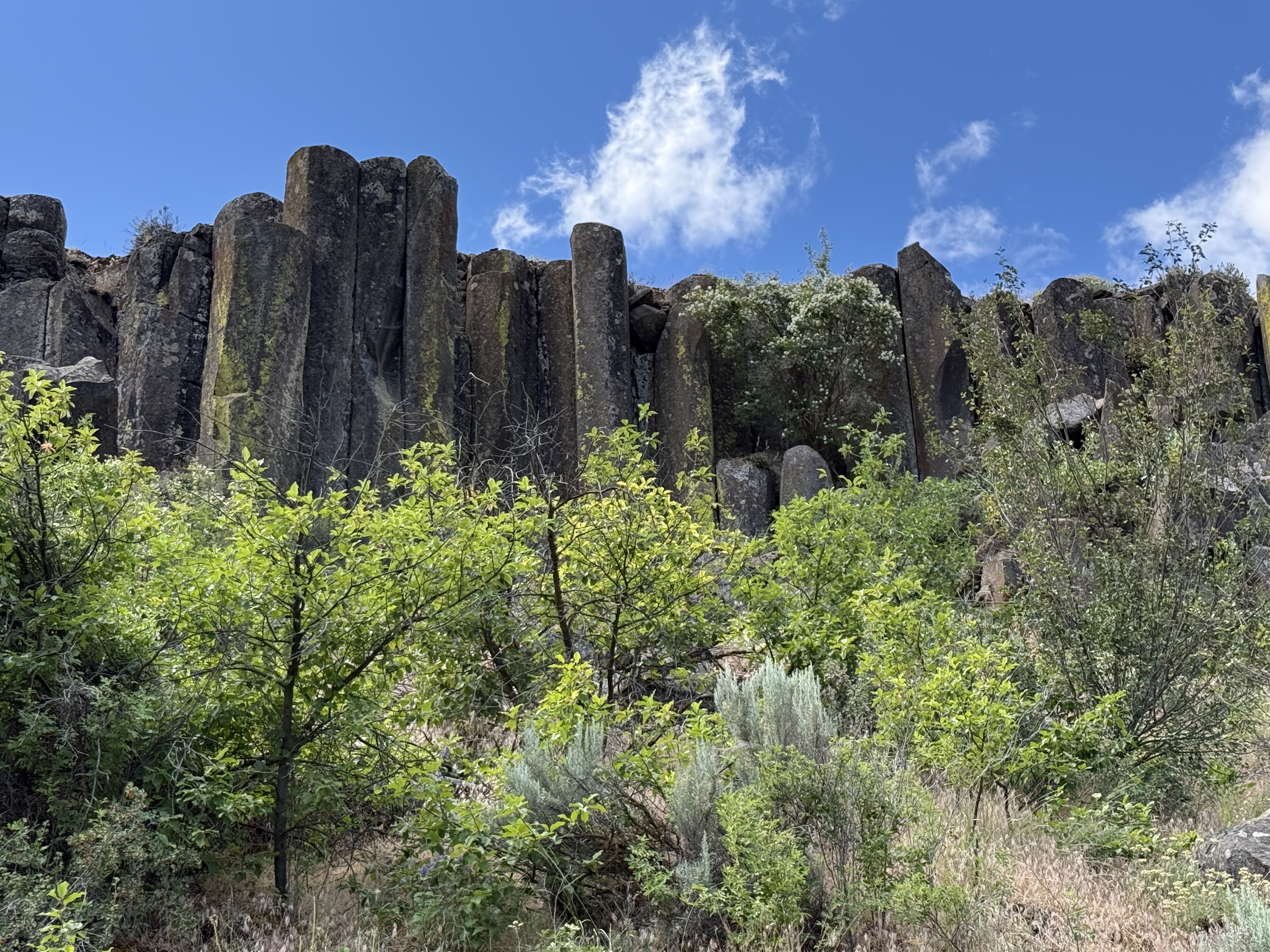
This is a typical view from the trail, which follows an old rail line that was used for seventy years to haul apples out of the area. I have discussed the columnar basalts and vegetation in previous posts. It was late spring and all of the plants were showing their color while water rushed past in the creek at the bottom of the canyon.
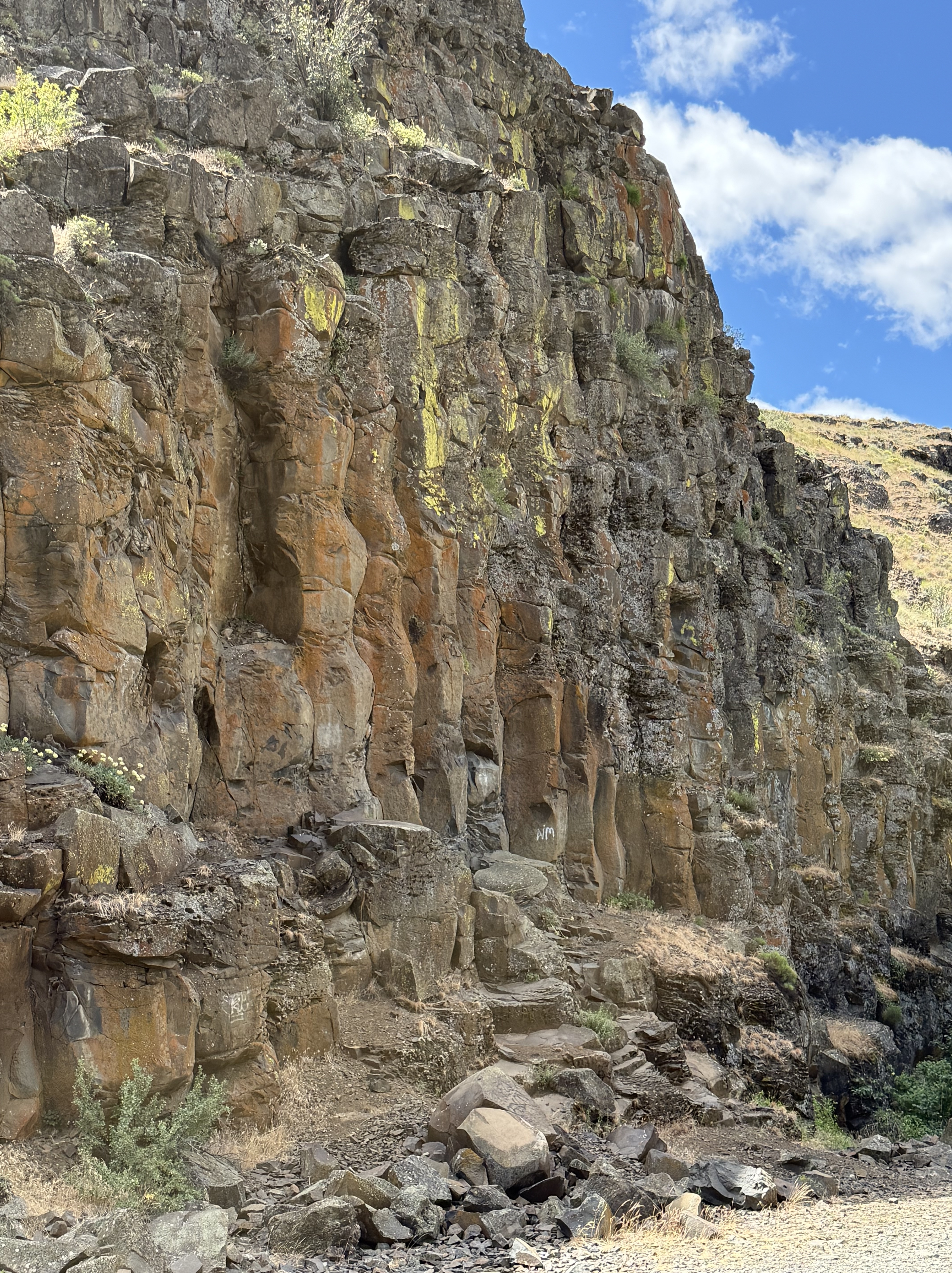
This undulating columnar basalt caught my eye because of the color and its wavy appearance.
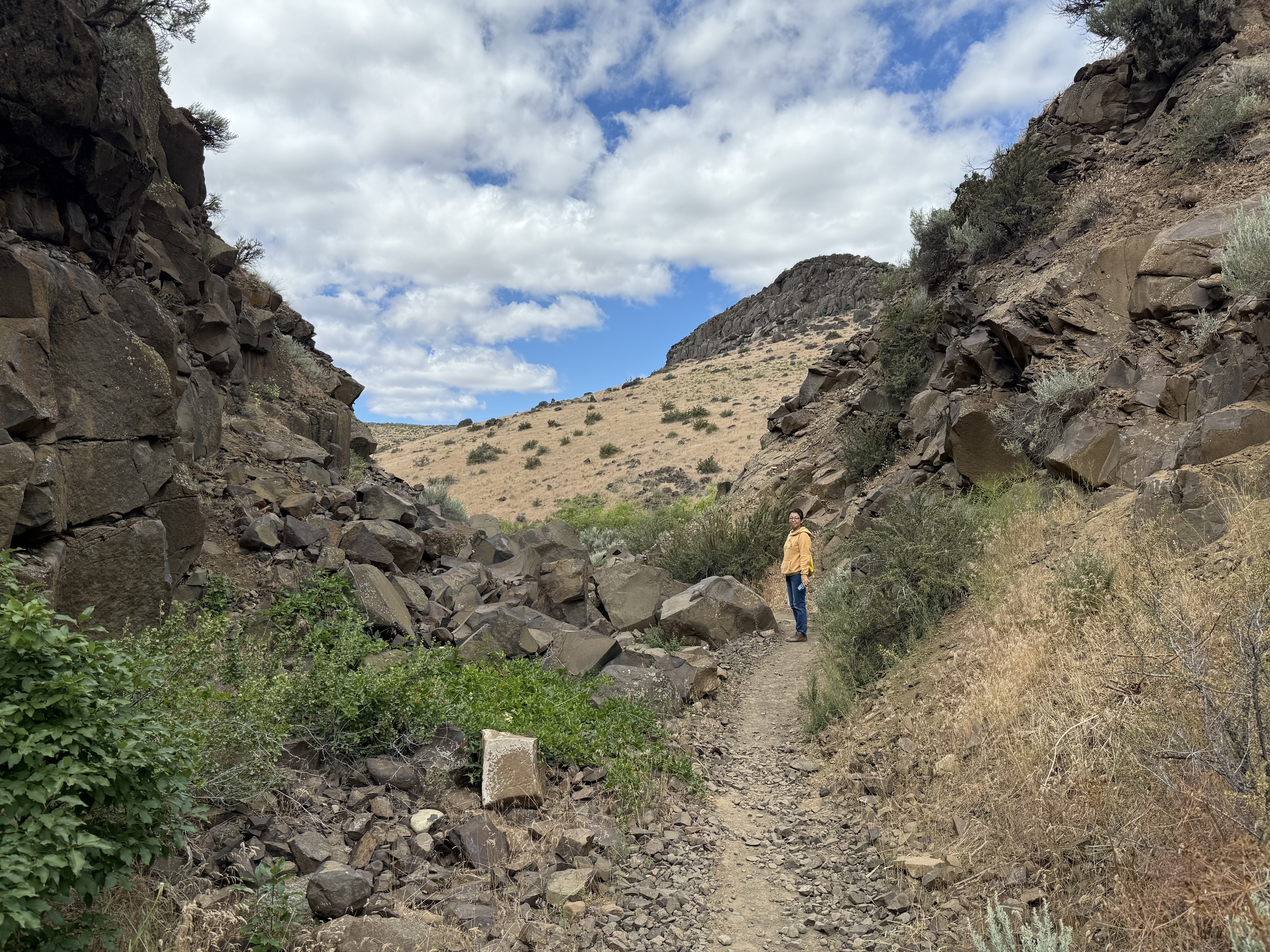
The Burlington Northern railroad wasn’t afraid to use explosives to create a path through what was described at the time as, “A dry, rocky canyon good for nothing except a railroad.” The rails have been removed, but the eleven bridges required to construct a rail line to cover the 3 miles of the trail system are mostly still in place.
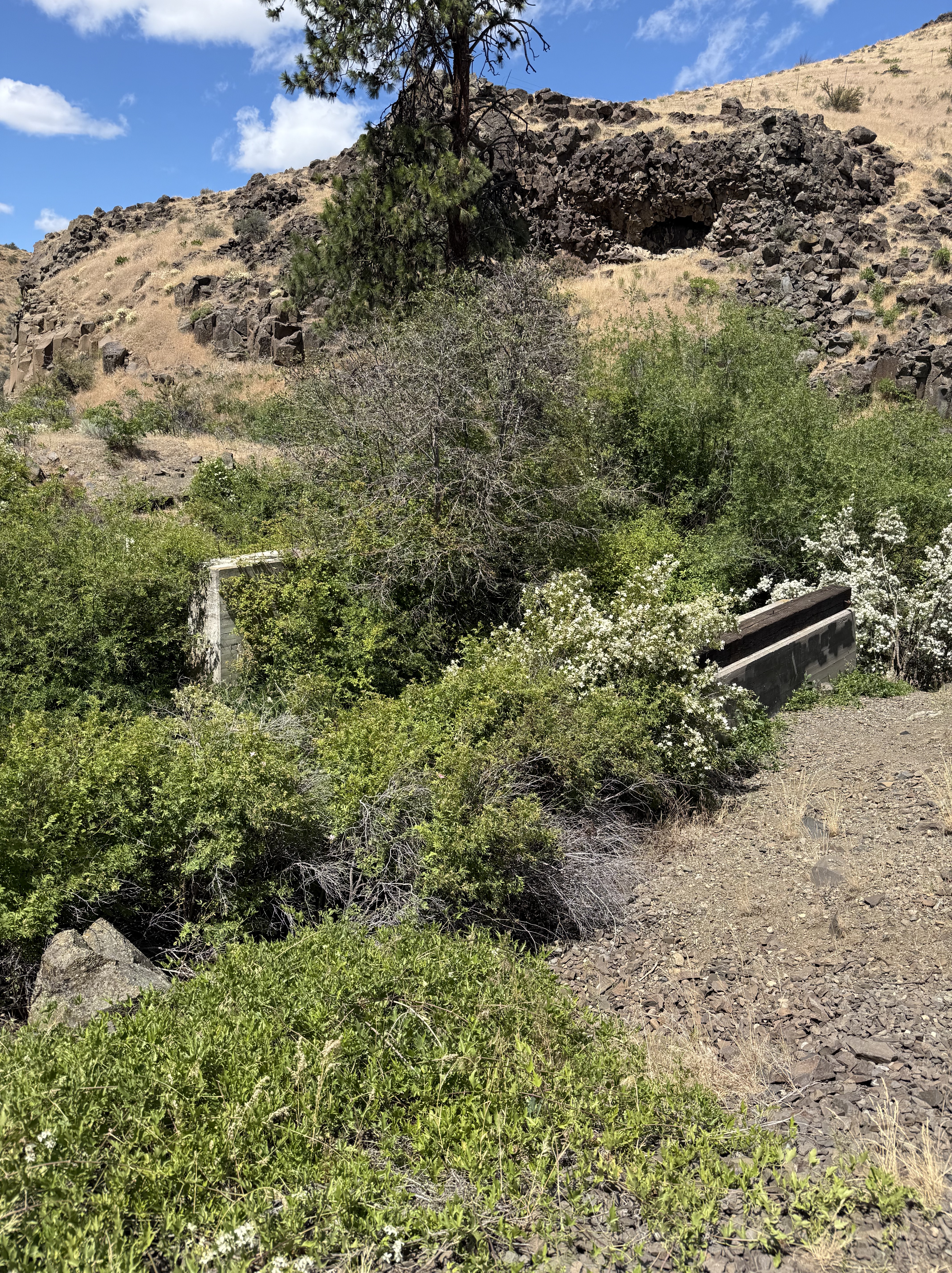
Here’s one that didn’t last. It was replaced by a pedestrian bridge constructed by the Cowiche Canyon Conservancy and the Bureau of Land Management.
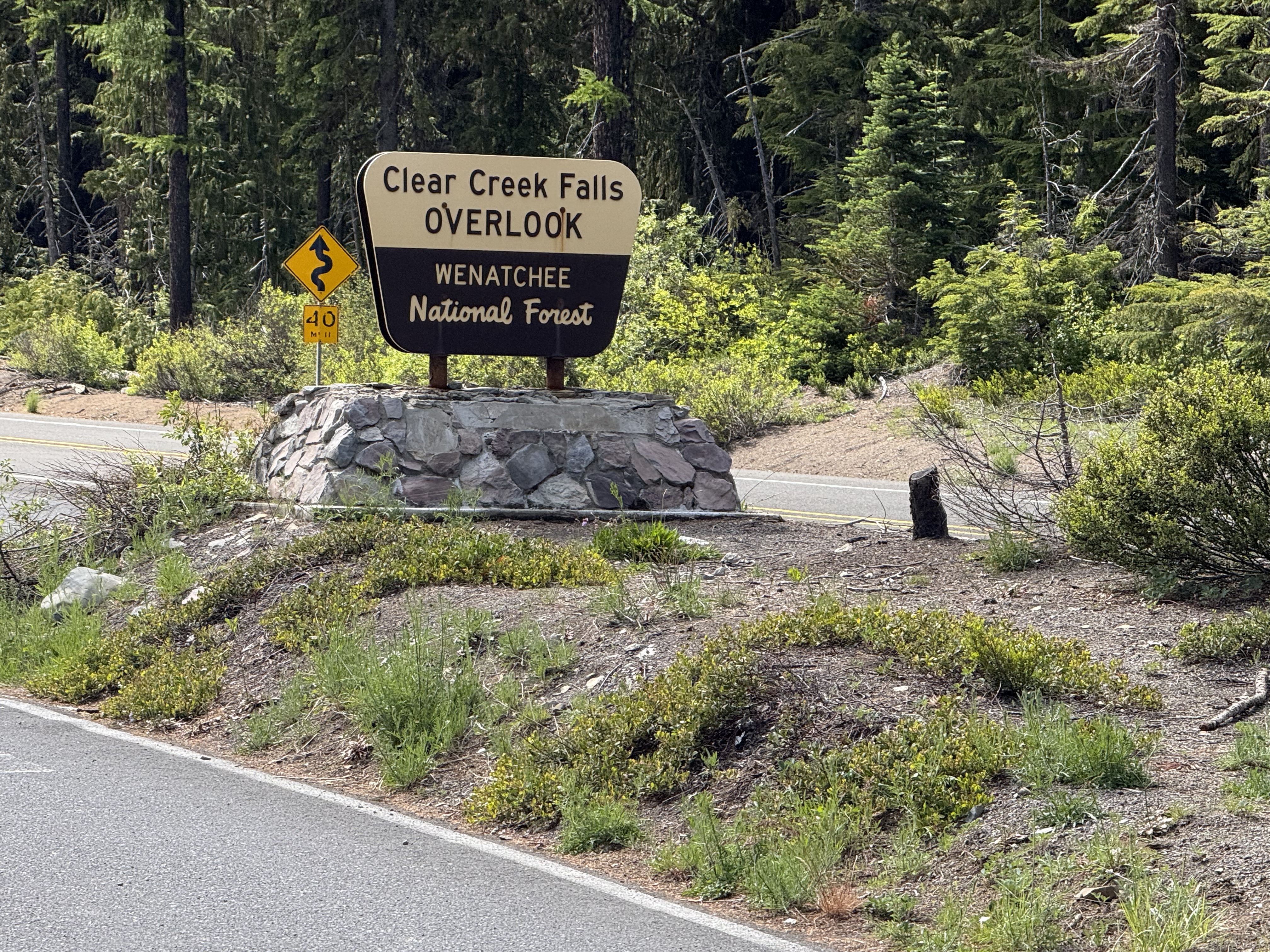
We took a more circuitous route back to Tacoma using US12 through White Pass. It didn’t snow, and we got a look of one of the many water falls in Washington.
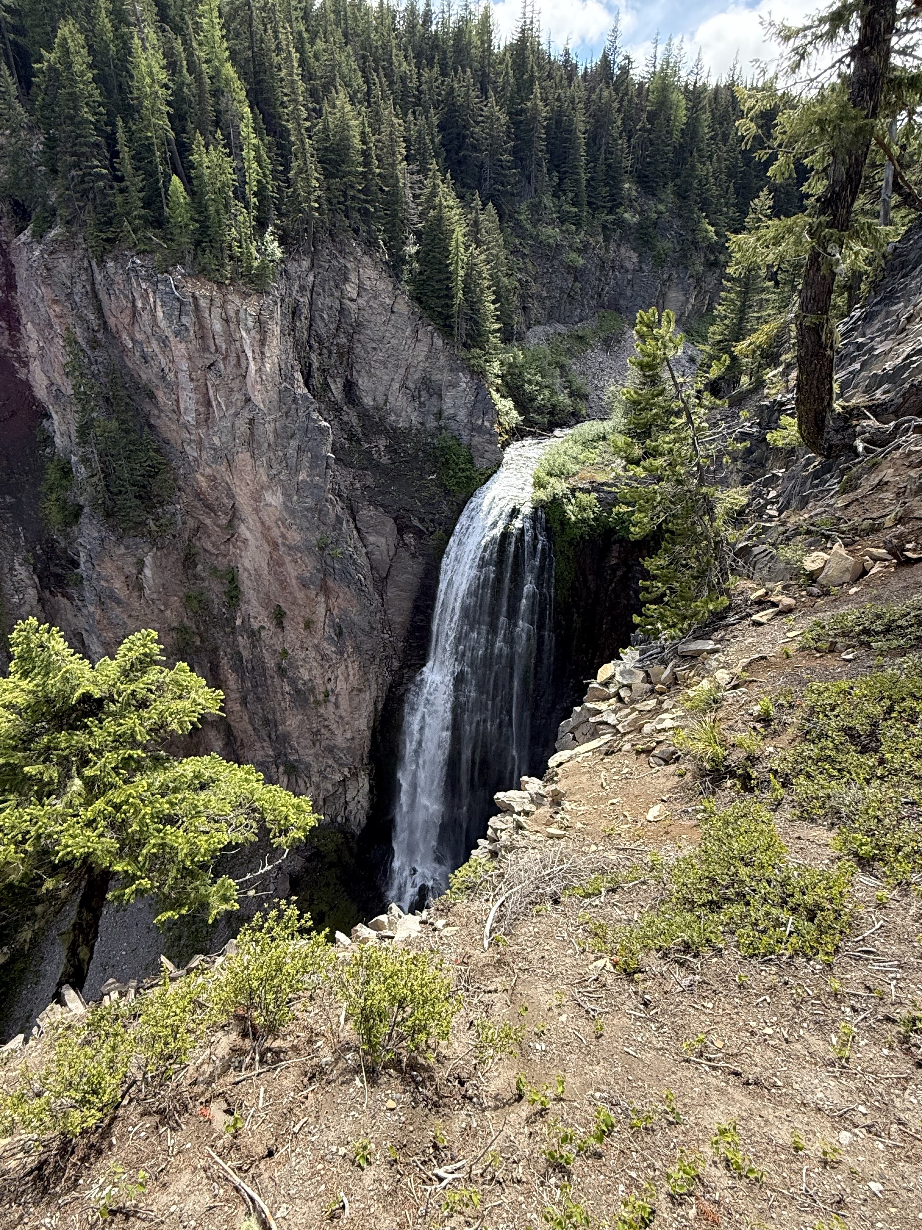
This was the best angle I could get, and I still couldn’t see the bottom! It turns out that Washington has more than 3000 catalogued water falls, more than any other U.S. state. Clear Creek is rather small at only 300 feet, so I guess there is some more air down there.
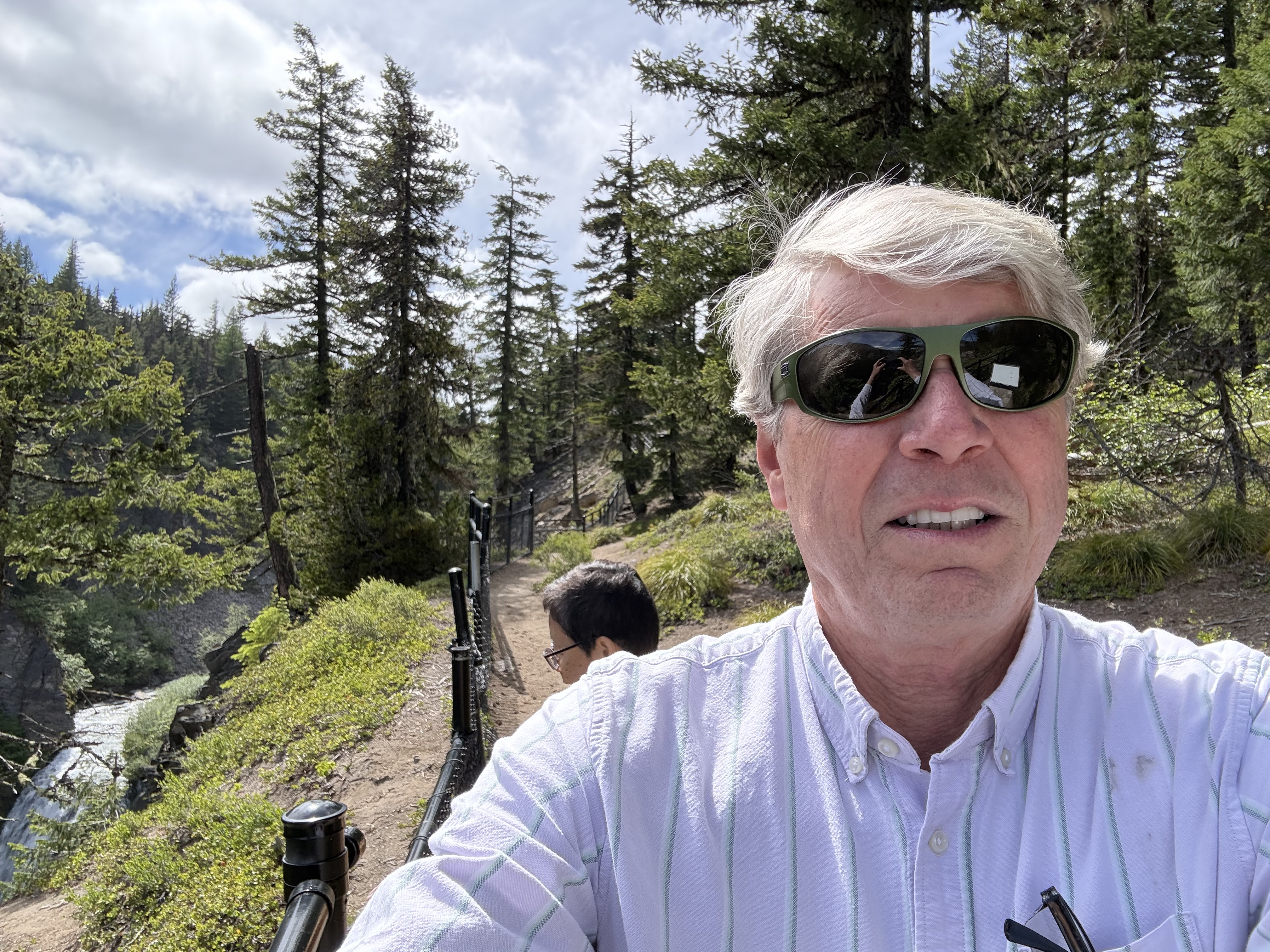
It was a beautiful day in the Pacific Northwest, including the snow flurries. A ten-hour day trip took us from coastal Washington, over a 6000 foot pass, into dry eastern Washington, where we hiked through a canyon filled with native plants and rocks (hahaha), and back over the Cascades past a magnificent water fall in Wenatchee National Forest.
This is undoubtedly the most beautiful place I have ever lived…
Gravel Beaches on Vashon Island
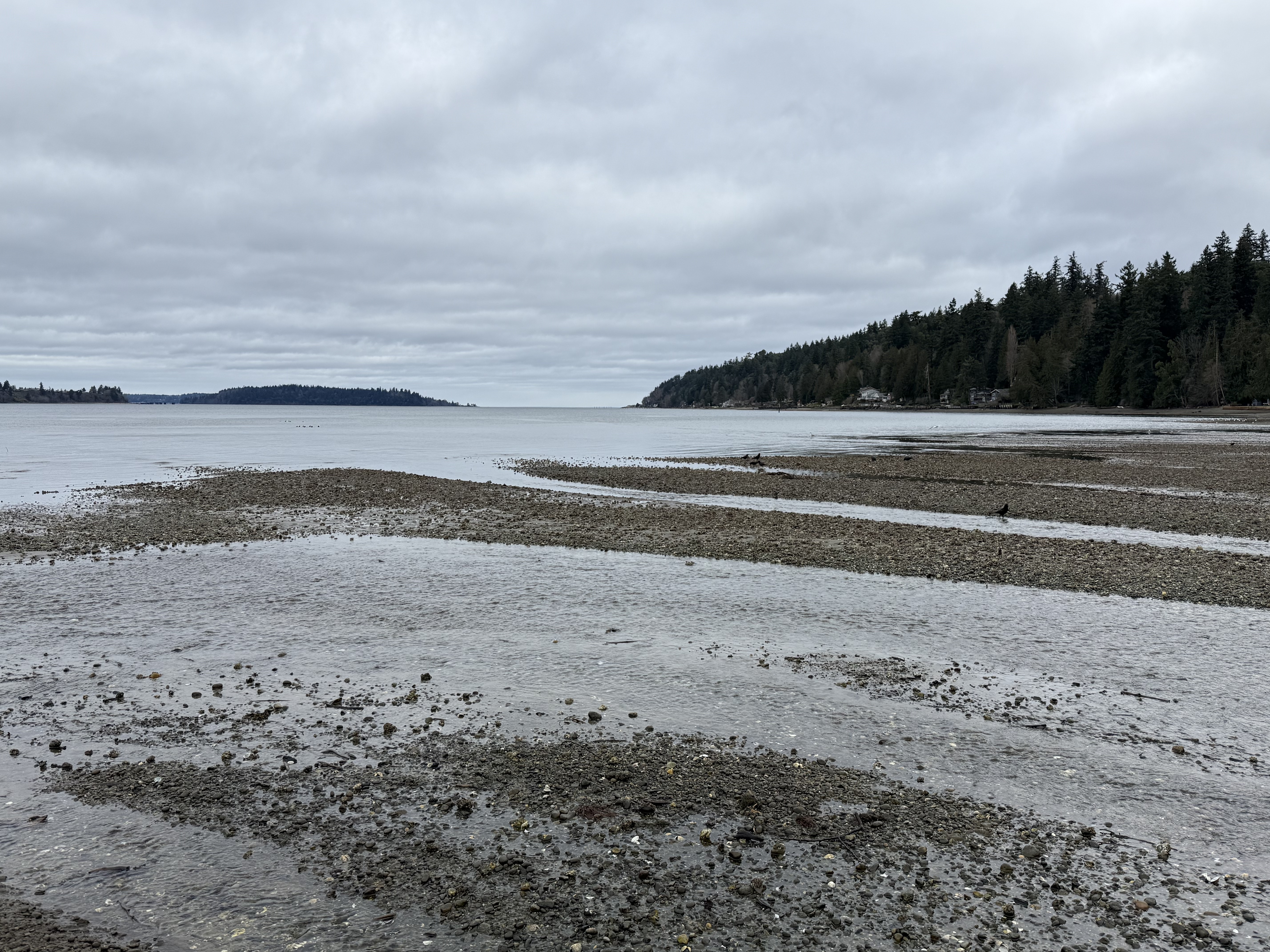
This photo of the gravel/mud beach at Fern Cove Nature Preserve reveals a marine delta, fed by Shinglemill Creek. Unlike the mud/sand delta we saw at Dash Point, the sediment here is dominated by rounded gravel and small boulders. Mud, sand and silt form the matrix. All of this material is available from the glacial till that comprises Vashon Island.
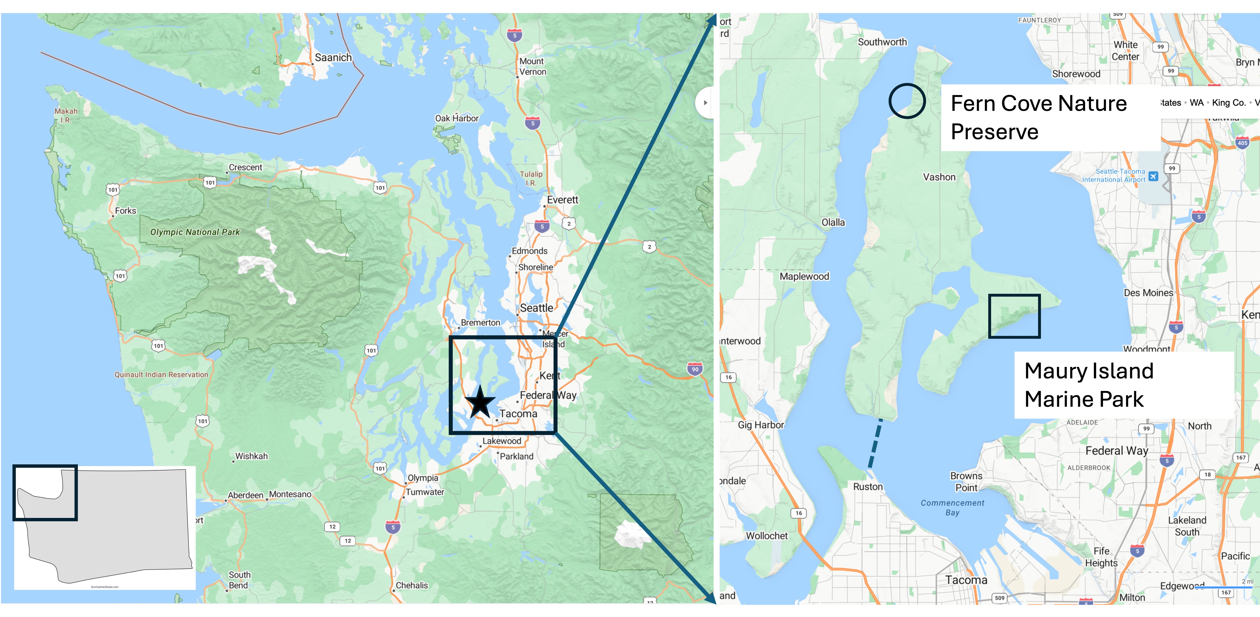
The inset map (right) shows the two sites I visited today. Fern Cove is located near the northern tip of Vashon Island whereas Maury Island Marine Park occupies the SE side of an island that is connected to Vashon by a fill zone about 200 yards across (which is eroding away as I type).
Fern Cove Nature Preserve
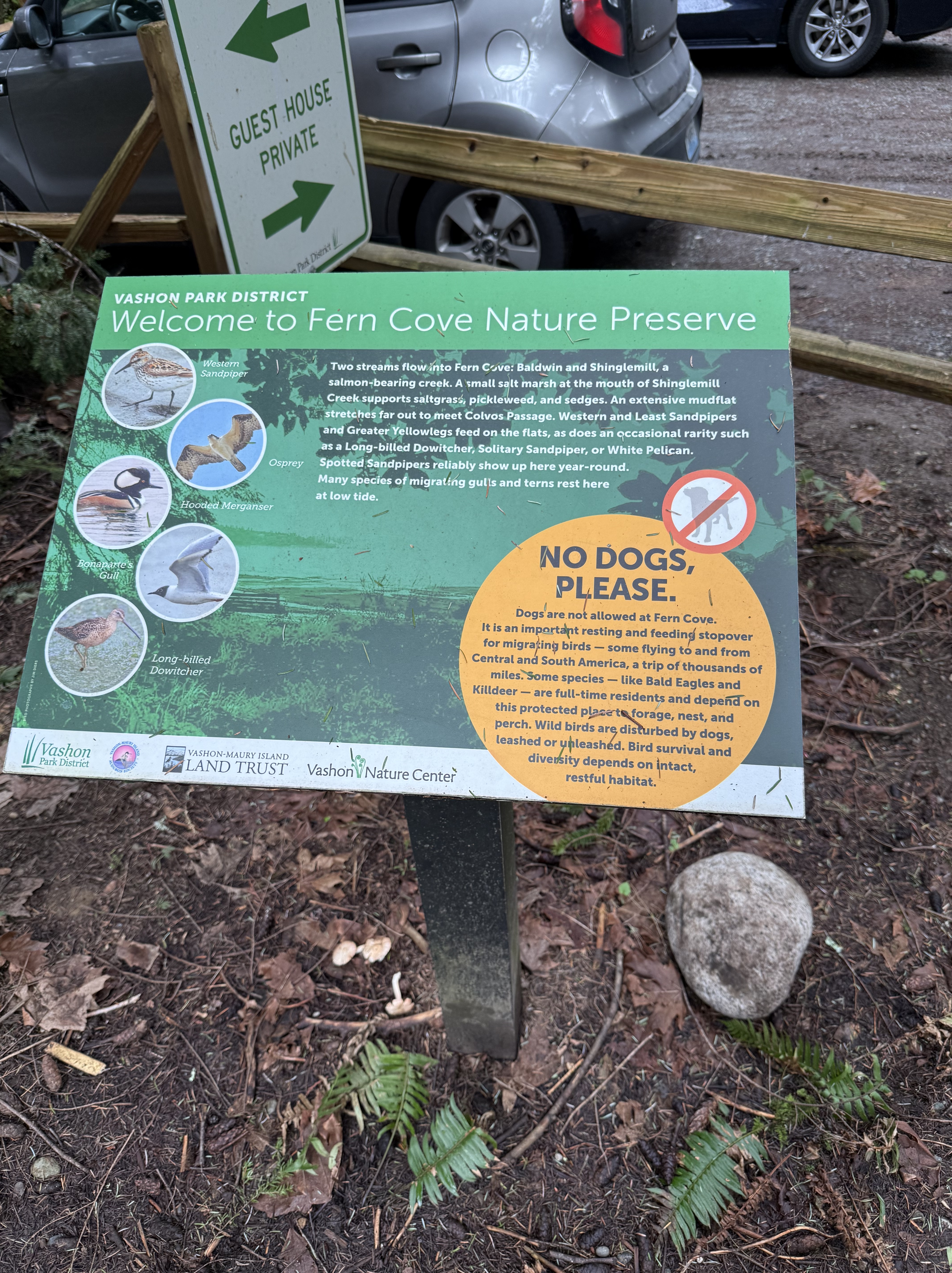
Vashon Island was logged out, so the beautiful evergreen forests that cover most of the island are all second growth. The state is trying to restore the original habitat, and Fern Cove is a good example; they don’t allow dogs!
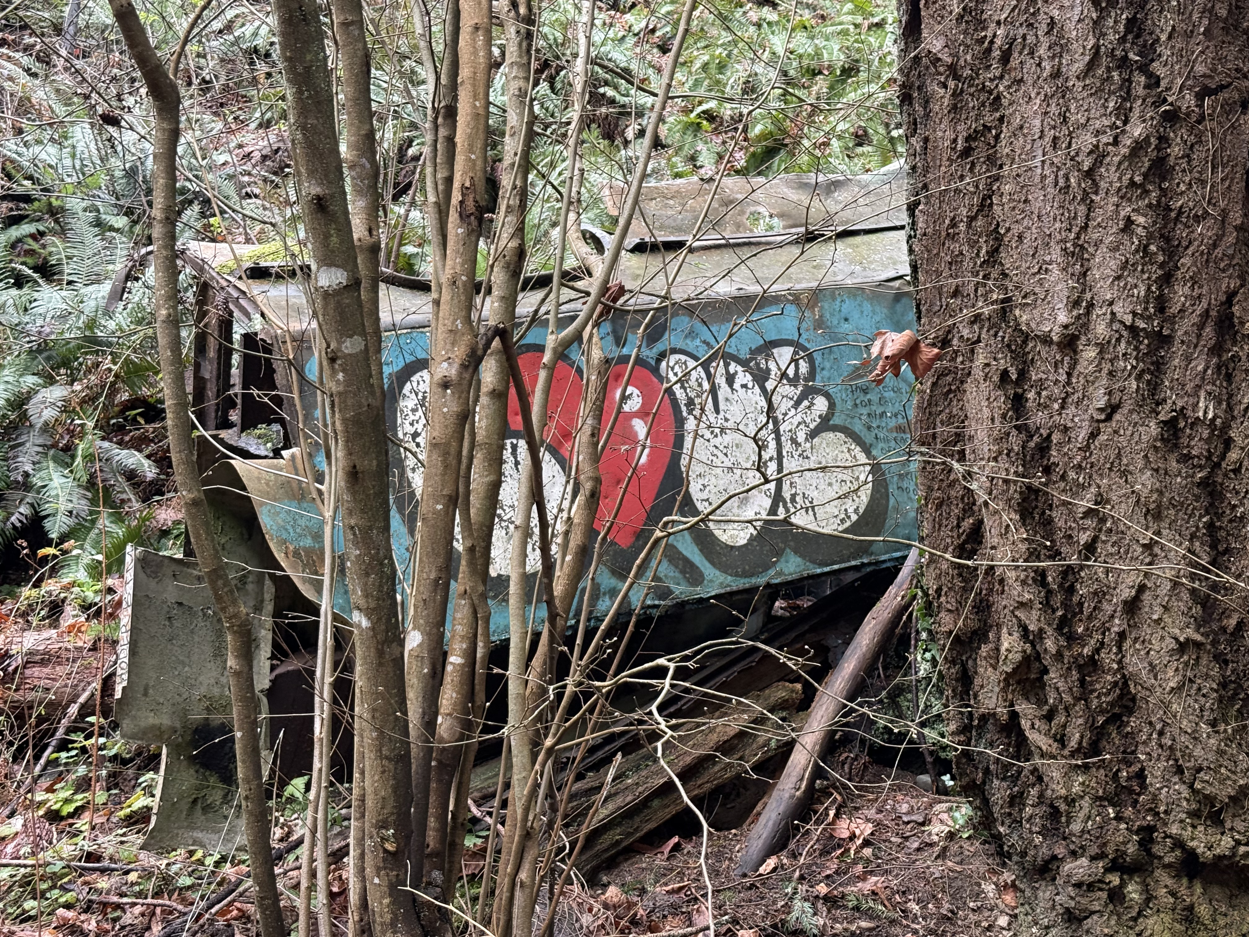
I’ve noticed that people in the Pacific Northwest (PNW) appreciate industrial art of a practical nature. I found an example here, in a threatened habitat that is actively being restored. I guess this old truck body isn’t hurting anything; I’ve also noticed that communities in the PNW don’t waste money on unnecessary actions.
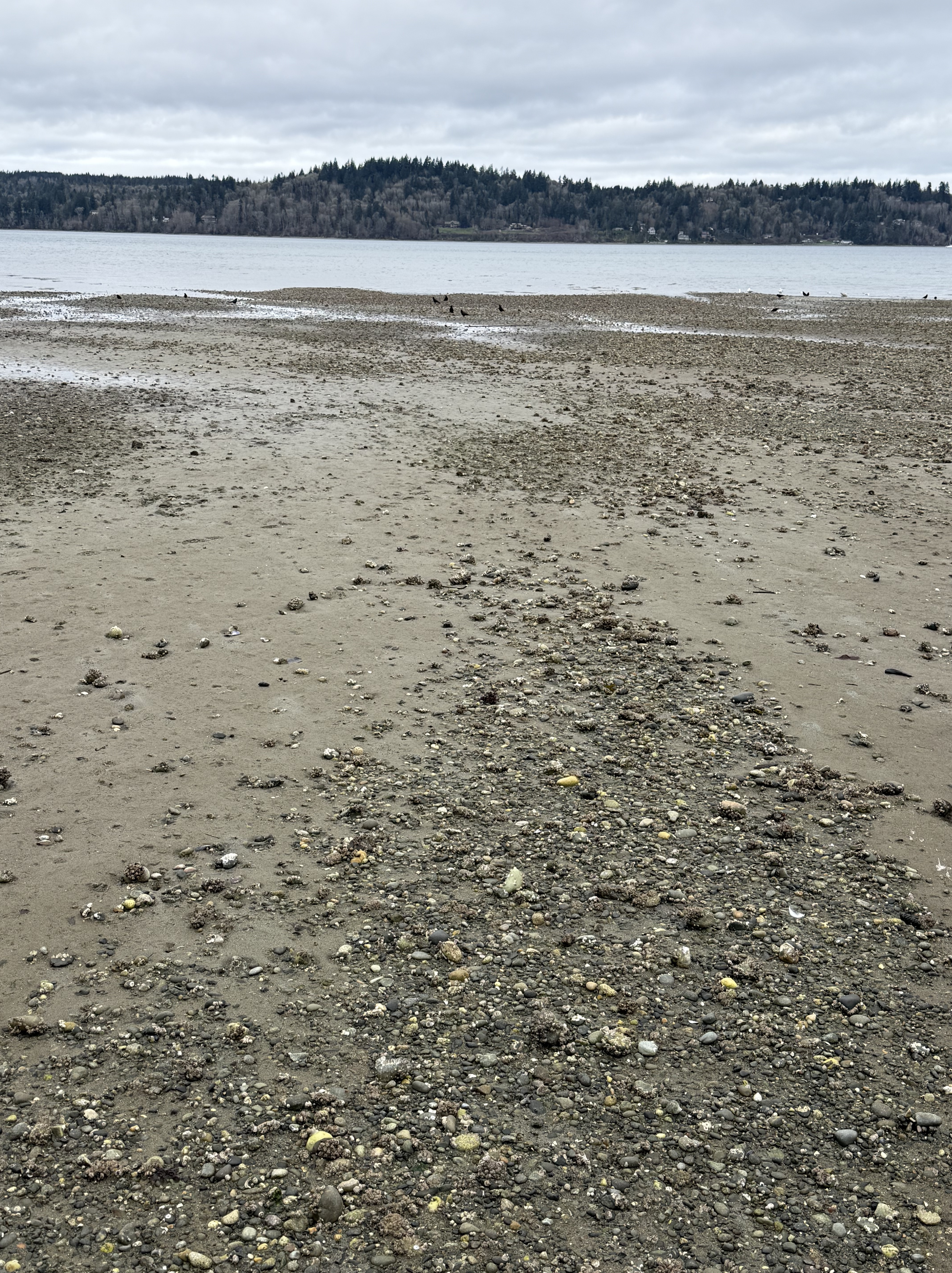
This photo shows how the gravel is localized within the delta, forming low nearshore gravel bars. The intervening areas are muddier than I found at Dash Point.
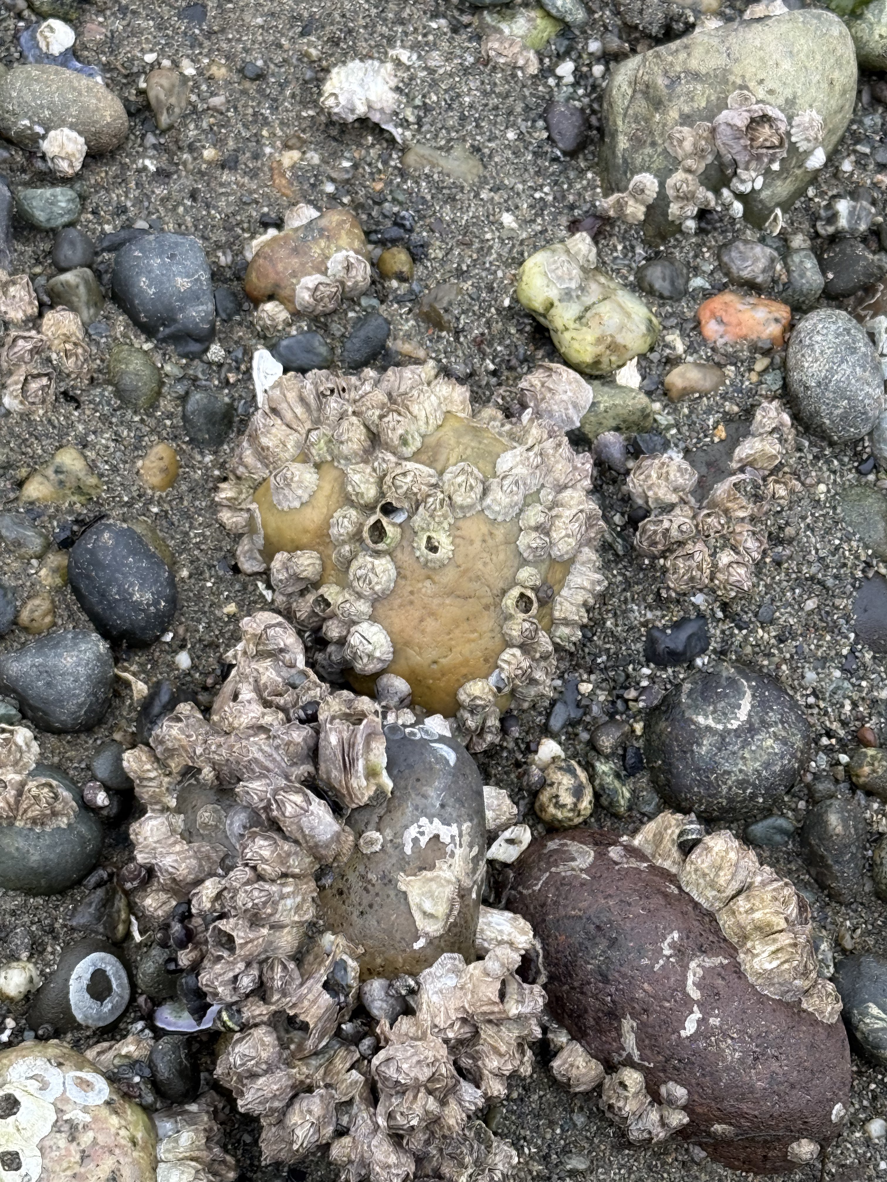
These gravel bars do more than concentrate larger rock fragments. Acorn barnacles encrust the larger ones, which are several inches in diameter. The tidal range is about 7 feet here and the beach is inundated twice daily, so I think these are living. I’ve seen barnacles on large boulders before, but I didn’t know they grew on stones. I guess the wave energy isn’t high enough to disturb them over a life cycle; their larvae must hang around after a storm and find a new rock to inhabit.
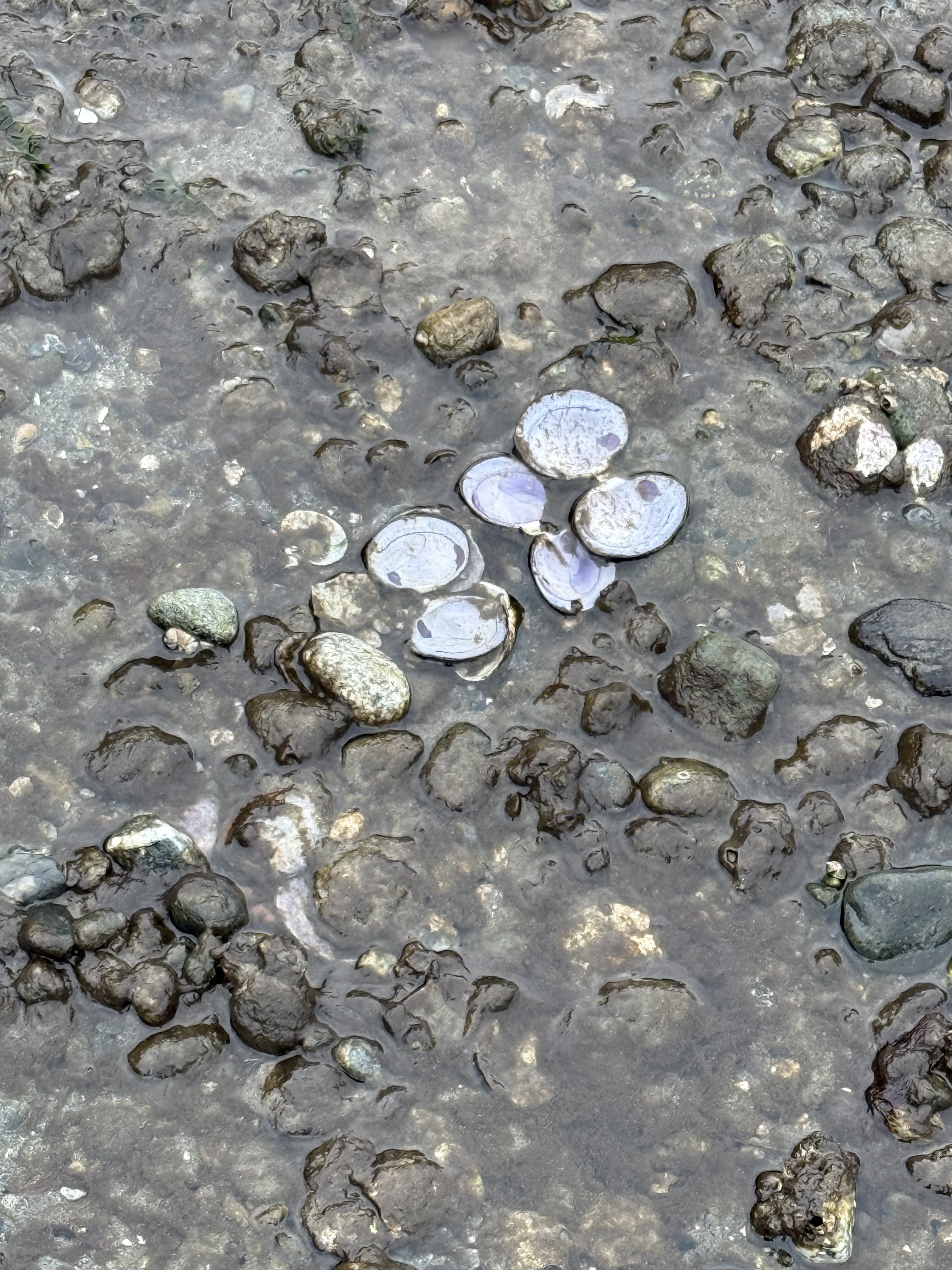
On all the beaches I’ve reported on for Rocks and (no) Roads, I’ve never seen this before. This is an active feeding area for sea birds. These are mussels, which the birds grab from a nearby mussel colony on the shallow delta front and drop on exposed gravel during low tide. The shells break open and the birds feast, leaving their dirty dishes behind.
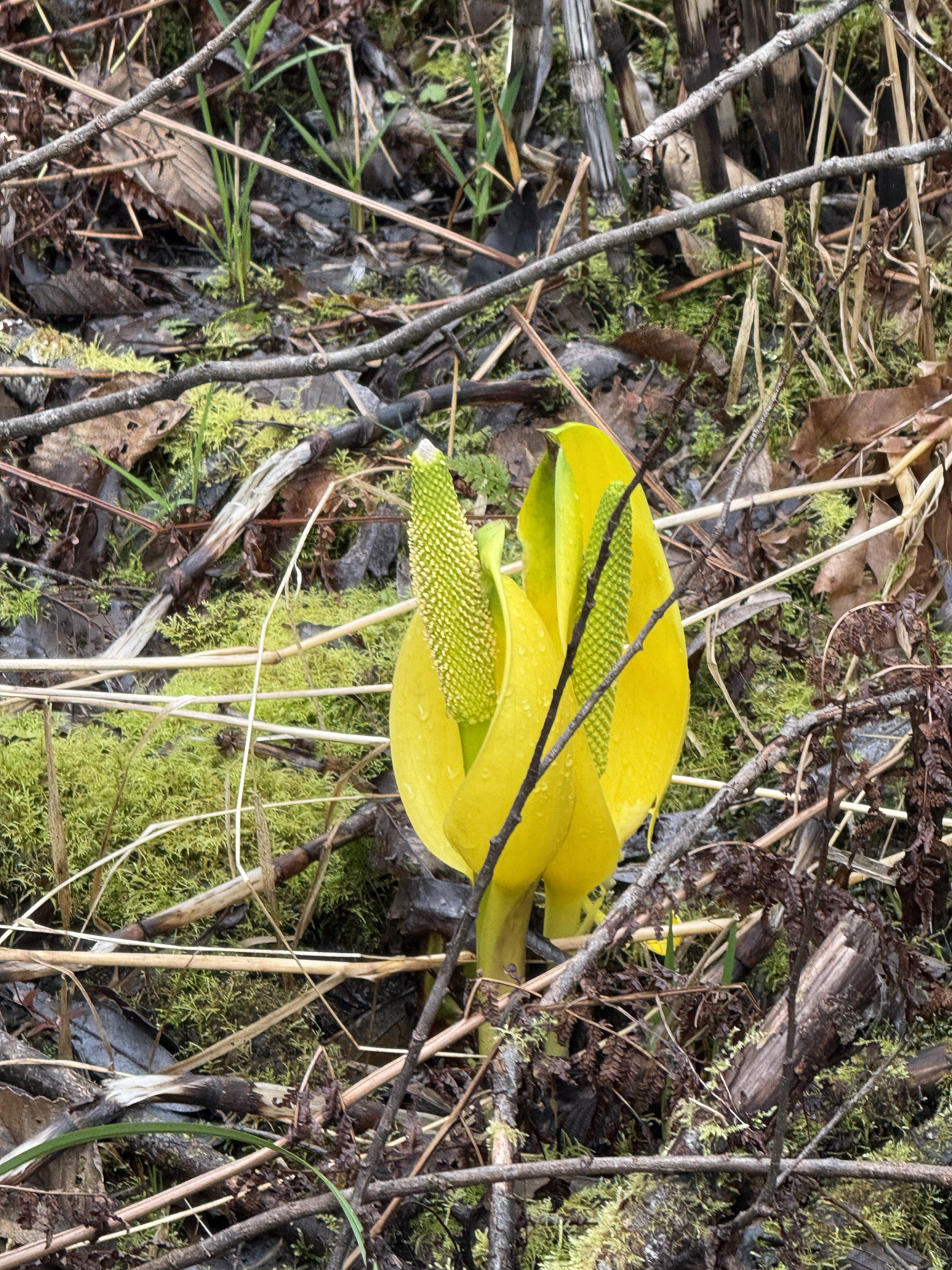
This Western skunk cabbage is just emerging from the wetland surrounding Shinglemill Creek. It will grow leaves up to two feet long, but it makes a beautiful display in the unseasonably warm late winter we’re having in the PNW.
Maury Island Marine Park
On the opposite side of Vashon Island, I visited a gravel quarry that operated for about seventy five years, before being purchased by the state as a park. This is another example of letting nature recover without interference.
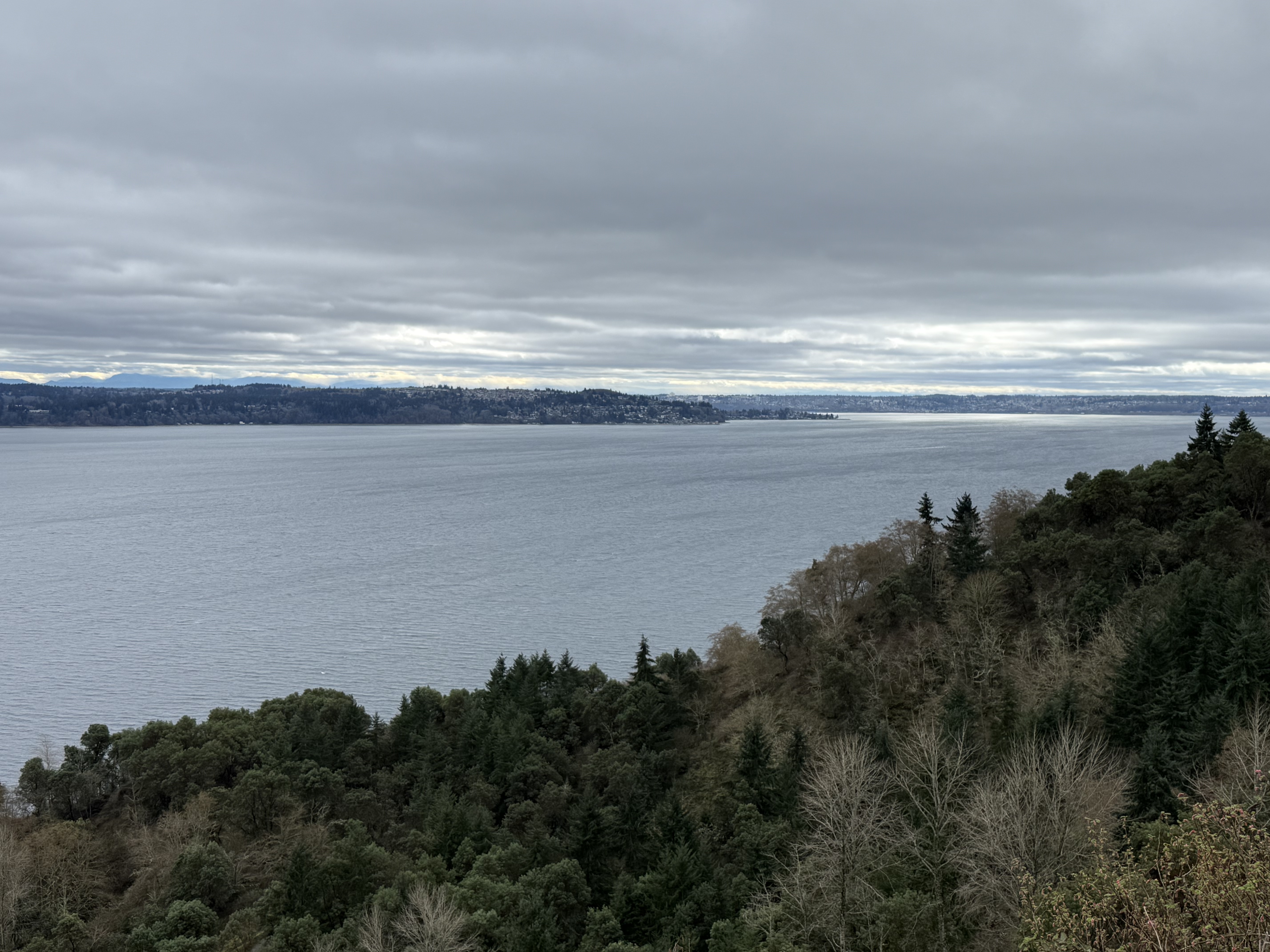
This photo looks SSE towards Dash Point. Commencement Bay and Tacoma are visible in the background; a little sunlight is shining on the bay. The cliff has been quarried for 75 years, so the 400-foot vertical face is now a steep incline with a trail that utilizes many switchbacks to reach the shoreline. Let’s see what I found…
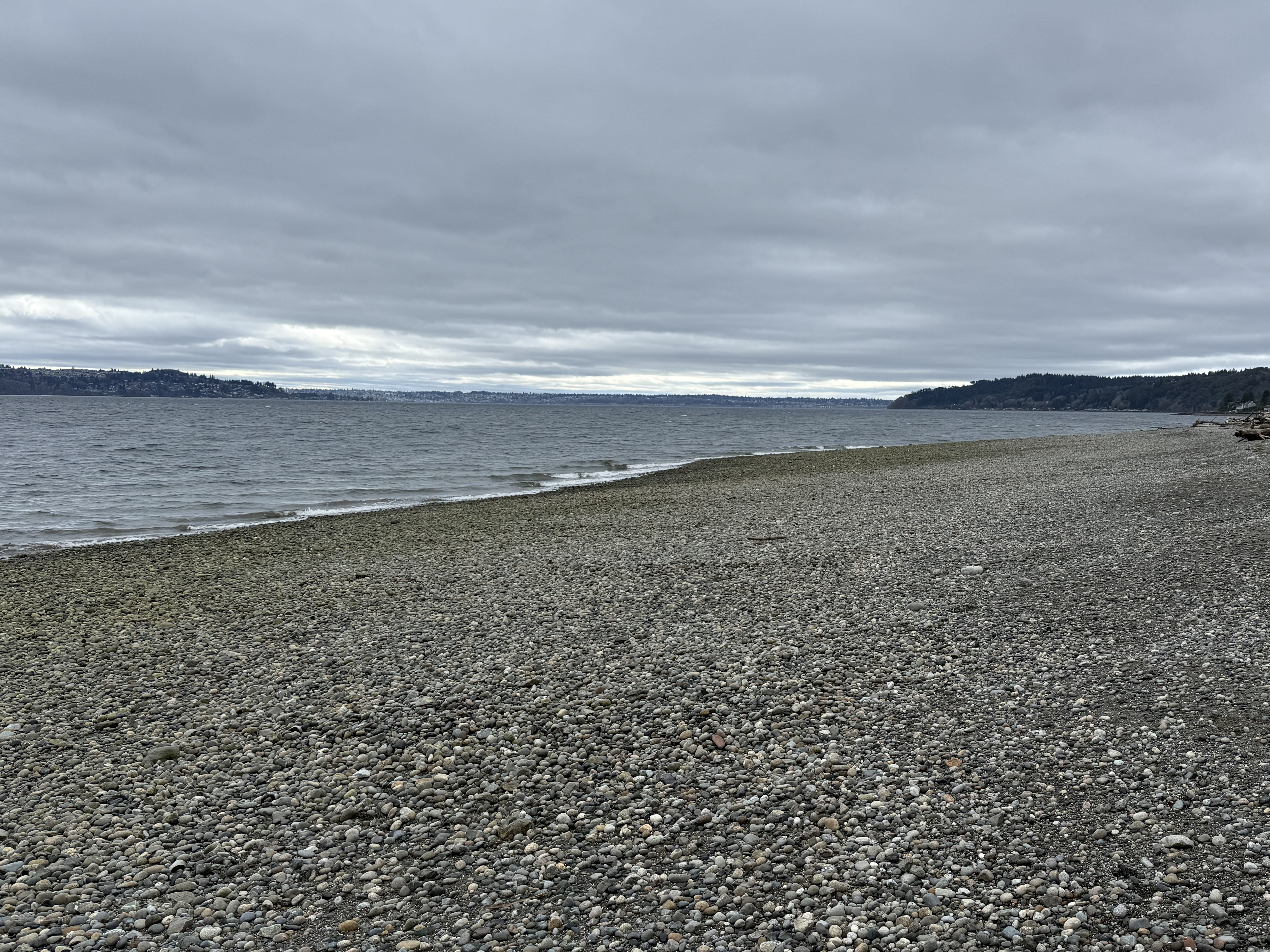
There is no mud or sand visible on this beach. I thought that might be a side-effect of so much gravel quarrying, so I walked beyond the limit of the quarry; the substrate didn’t change, but there must be lingering effects after so many decades of preferential sand removal.
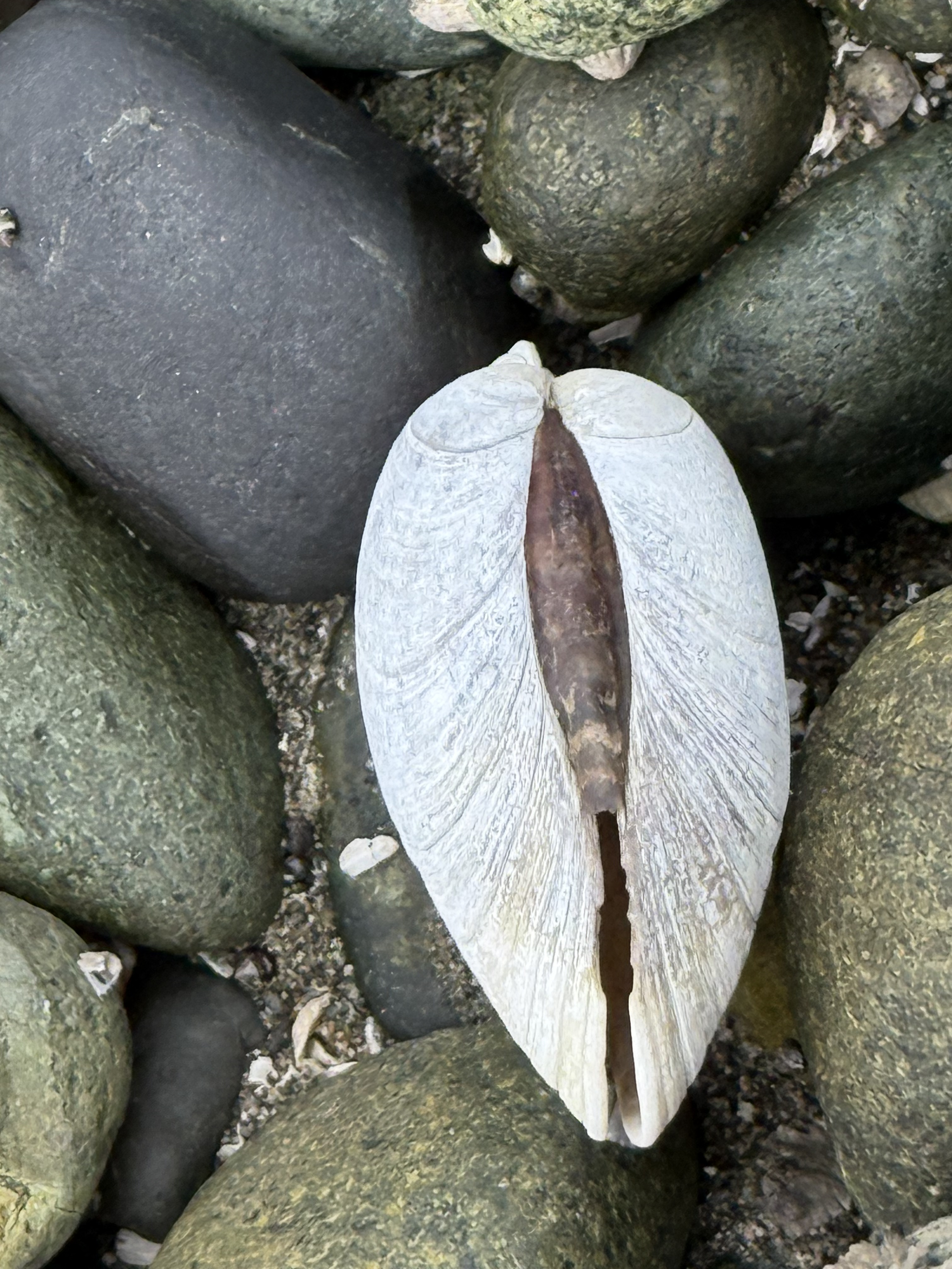
After what I saw at Fern Cove, I thought I was prepared for whatever I might find; but I never expected to see clam shells with the hinge lineament intact; this shell even closed after the bird (e.g. gull or crow) has eaten the soft tissue. The shell actually snapped shut after the animal was eaten. Amazing!
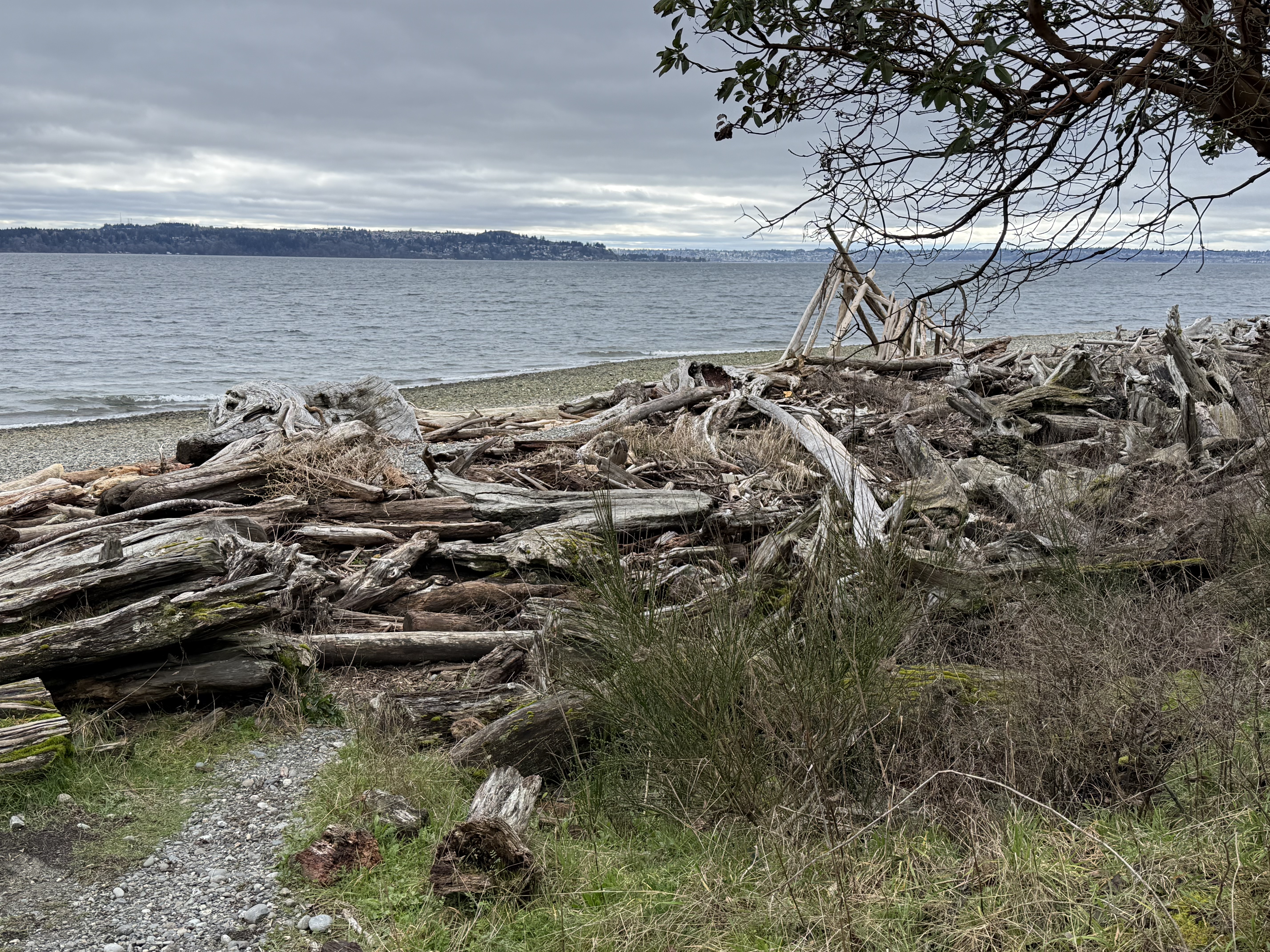
This spectacle gives driftwood a whole new meaning. Someone even built a crude shelter in the background from the logs that have collected over the years. There are a lot of trees in the PNW and many of them fall into Puget Sound, ending up all over the place. This looks like what coastal geologists might call a “hot spot”, a location where waves converge during storms.
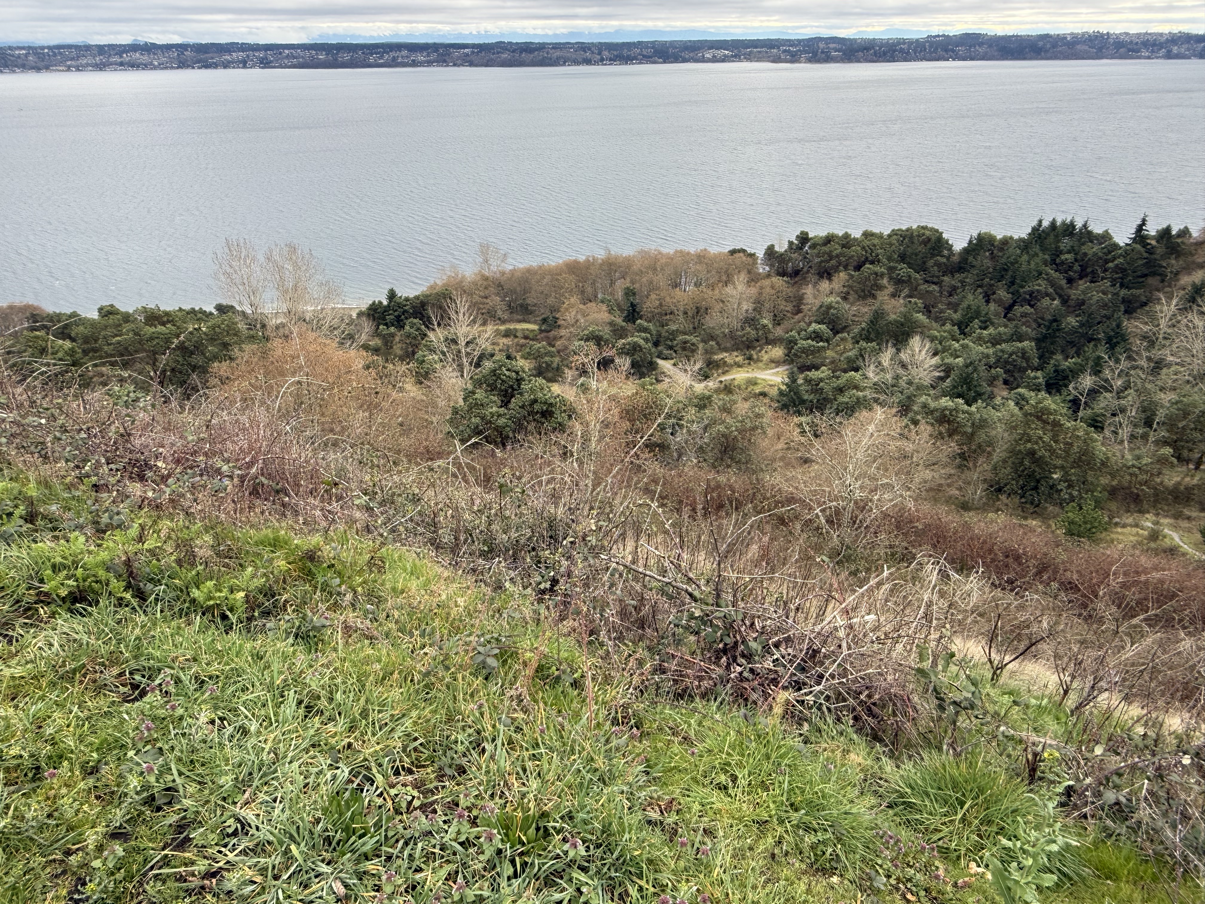
After a hot climb, even in 45F temperatures, I made it back to the top of the cliff. This area was a barren wasteland in 1975, when the state took over; park authorities and volunteers have worked tirelessly to not only allow recovery, but to keep out invasive species. I think they’re doing a pretty good job.
Summary and Acknowledgments
I learned more biology on this day trip than in my entire life. For example, sea birds eat mussels on muddy beaches and clams on cobblestone ones. They carry the hard shells in the air and drop them on rocks, breaking them open to reveal the animal hiding within. Apparently I arrived at these two beaches just after lunch, when the tide hadn’t cleaned up the dishes yet.
I’m going to pay more attention to fauna and flora in my future posts.
I don’t know anything about biology, so all plants and animals identified in this post came from CoPilot (AKA ChatGPT). I didn’t check their identifications because it wasn’t worth the hours that would have required. This is not a research paper. I’m just going out into the world and observing through my dirty, discolored glasses.
But now I can see living things…


Recent Comments