
The Last Few Miles
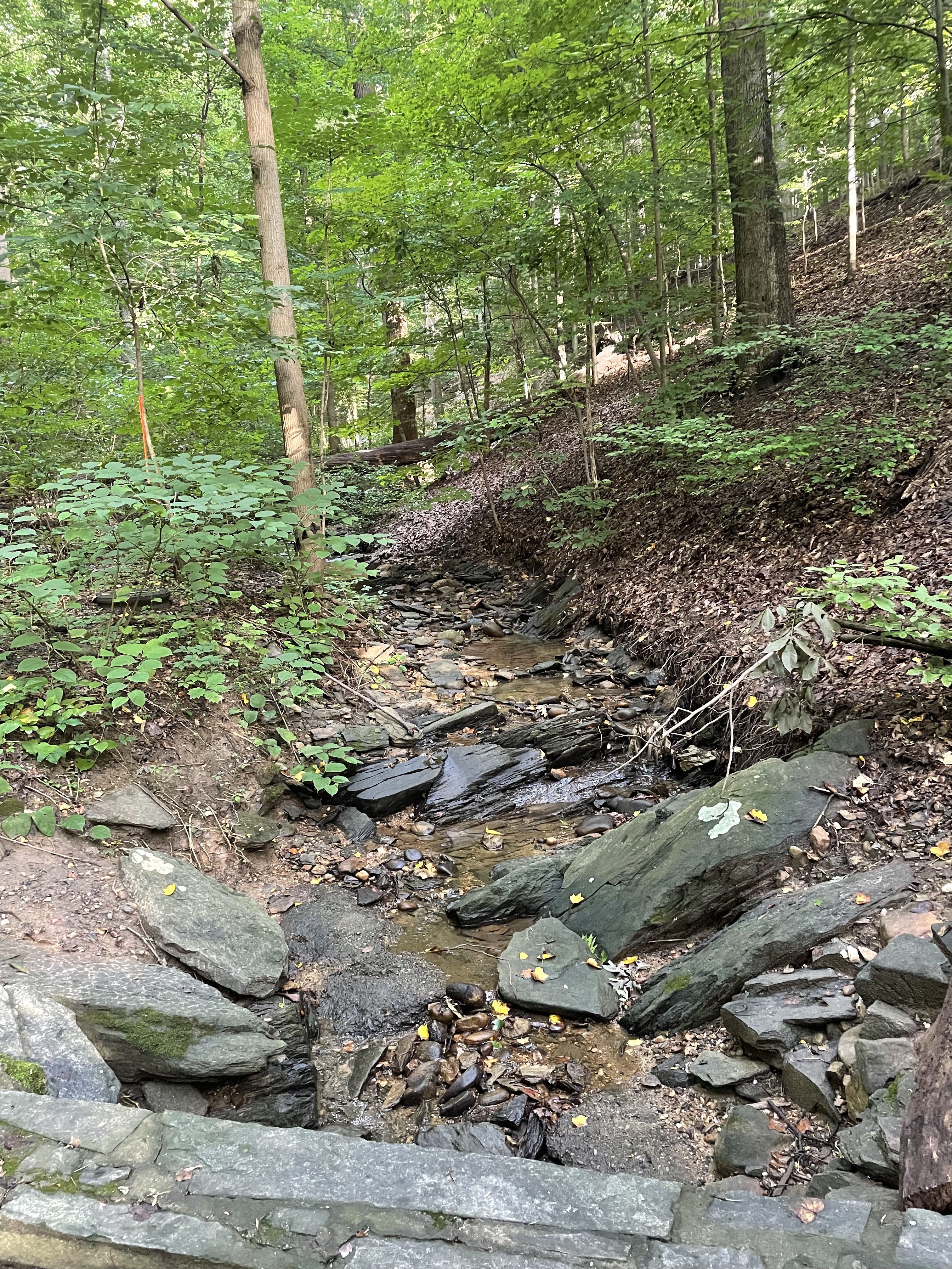
This is going to be a brief post, mostly because it is very difficult to convey what I want to communicate in photographs; the camera lens (on my iPhone) simply doesn’t capture image depth well. For example, Fig. 1 was actually pretty steep, but it looks as unintimidating as my driveway.
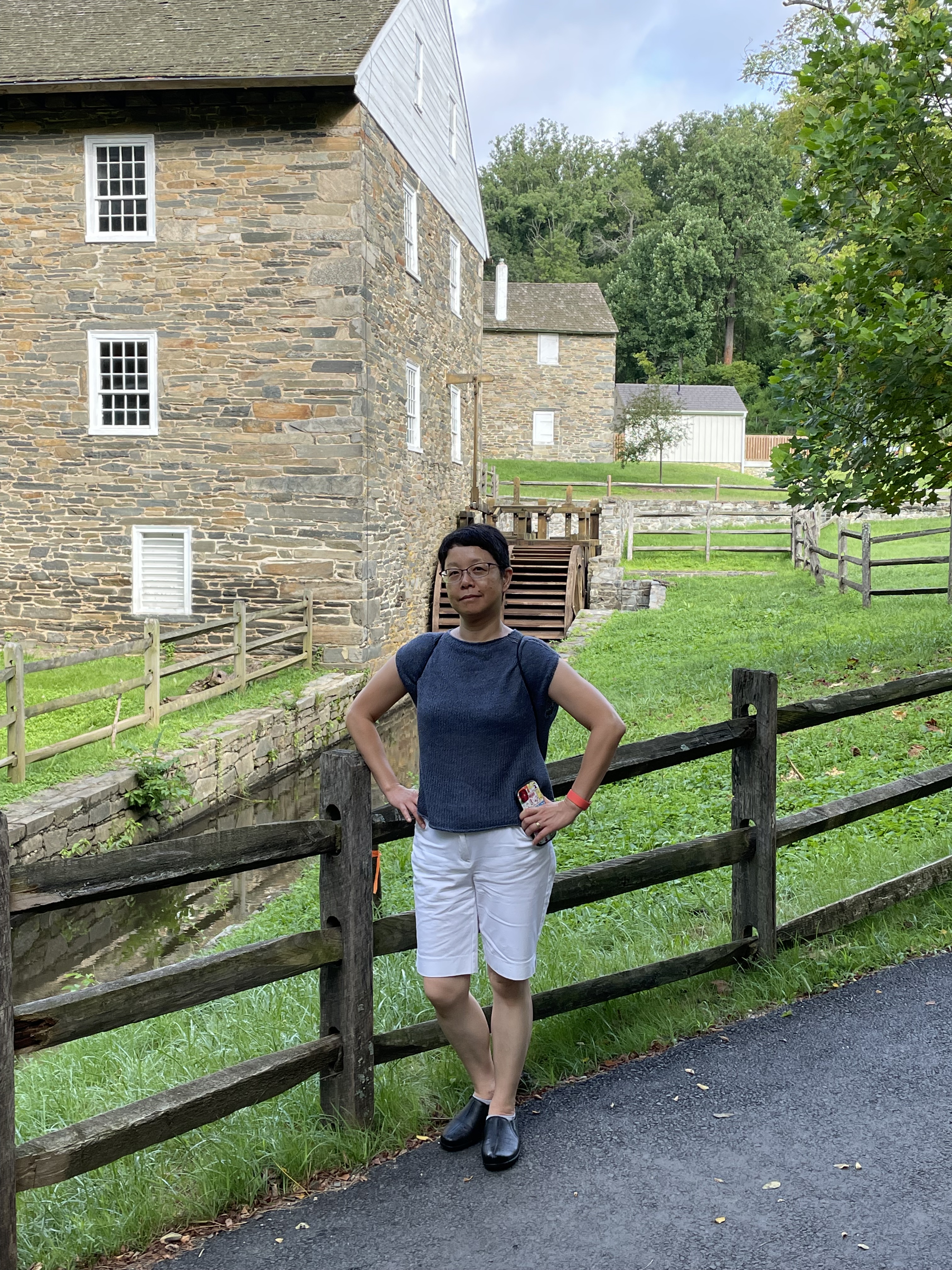
I’ve been talking about the bedrock exposed along the bed of the Potomac in several posts (e.g., Geological Bottleneck and Great Falls), but those are specific locations. Those significant drops in river elevation are part of a larger pattern, one that is displayed even at the scale of Fig. 1. It doesn’t take much of a drop to generate enough potential energy to spin a waterwheel (Fig. 3), which can do a wide variety of work–from grinding corn, to operating a machine shop.
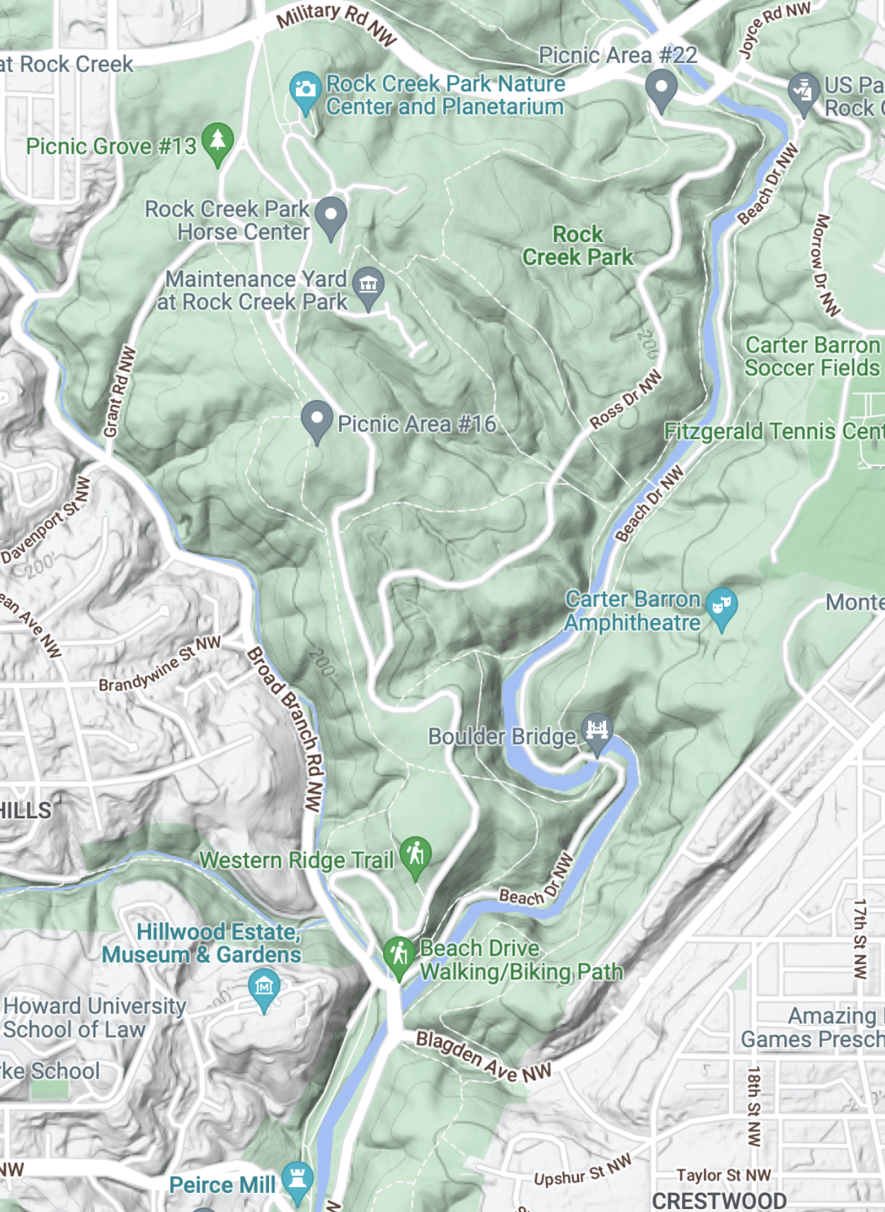
The staircase structure of streams along the transition from crystalline rocks to coastal plains (aka the Fall Line) is so important to the ecosystem that artificial barriers were constructed within the park to ameliorate the impacts of road and bridge construction (Fig. 4).

Rock Creek National Park deserves its name, not just because of its rock bed. Cambrian sedimentary rocks exposure along the steep tributaries leading to the creek (river?) suggest that bedrock lies not very far beneath our feet (Fig. 5).

Water has been struggling with rocks for the last 200 million years, always trying to reach the sea. It exploits every nook and cranny in the bedrock until it forms a stream, then a river, and it cannot be stopped. Thanks to the perseverance of water, driven by the steady pull of gravity, the first European immigrants to North America were able to establish a toe hold on what was (to them) a new land…

Recent Comments