
Seneca Regional Park: The Rocks are Awakened
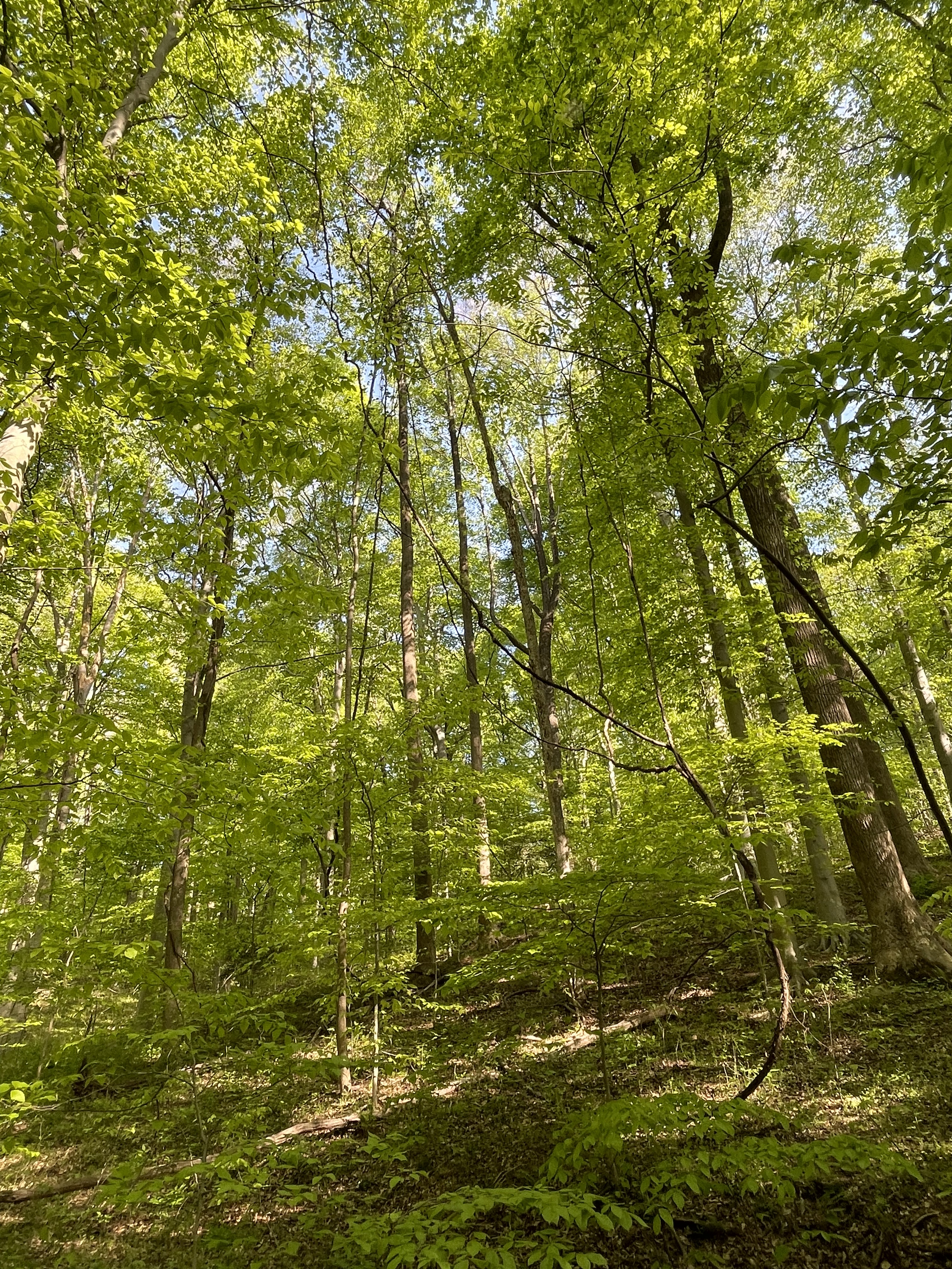
The title of this post refers to the furthest upstream exposure of Precambrian metamorphic rocks (see a previous post) along the Potomac River I have encountered; Precambrian schists rise from the riverbed and surrounding hills, reflecting the plate-tectonic processes that created them, but in a human-friendly form. The perfect harmony of rocks and life is revealed in the mature forests lining the Potomac River (Fig. 1).
I have been reporting on the geology along the Upper Potomac in recent posts (e.g., this post), revealing a braided river that is cutting into flood deposits, until it reaches a bottleneck at Great Falls, where the earth slows the Potomac’s rush to the sea.
This isn’t an overview post, however, so Fig. 2 shows only shows today’s study area. Note that there are three inset maps; the largest (Seneca Park) will be referred to most often in this post.

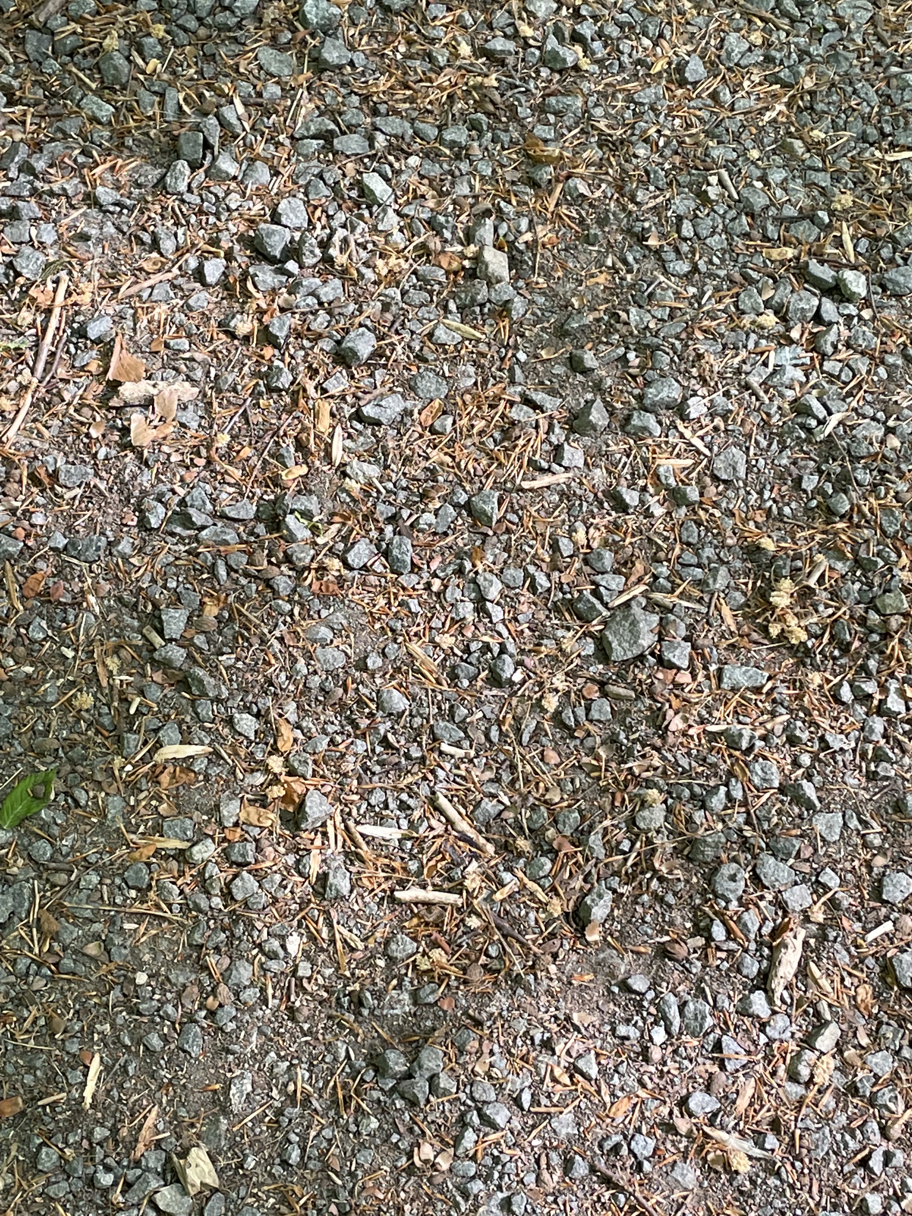
Starting from the parking lot (P in the Seneca Park inset of Fig. 2), we proceeded towards site A, surrounded by a mature forest (see Fig. 1) established on a thick soil horizon (Fig. 3) that was incised by creeks (runs in NOVA), cut into the regolith surmounting the Precambrian basement rocks (Fig. 4).

The Potomac River at Site A (Dave’s Lookout on Fig. 2) is made up of several islands (Fig. 5) and includes remnants of the Patowmack Canal (Fig. 6), which was part of George Washington’s lifelong dream to make the Potomac River navigable, to open up the frontier as far as Ohio.

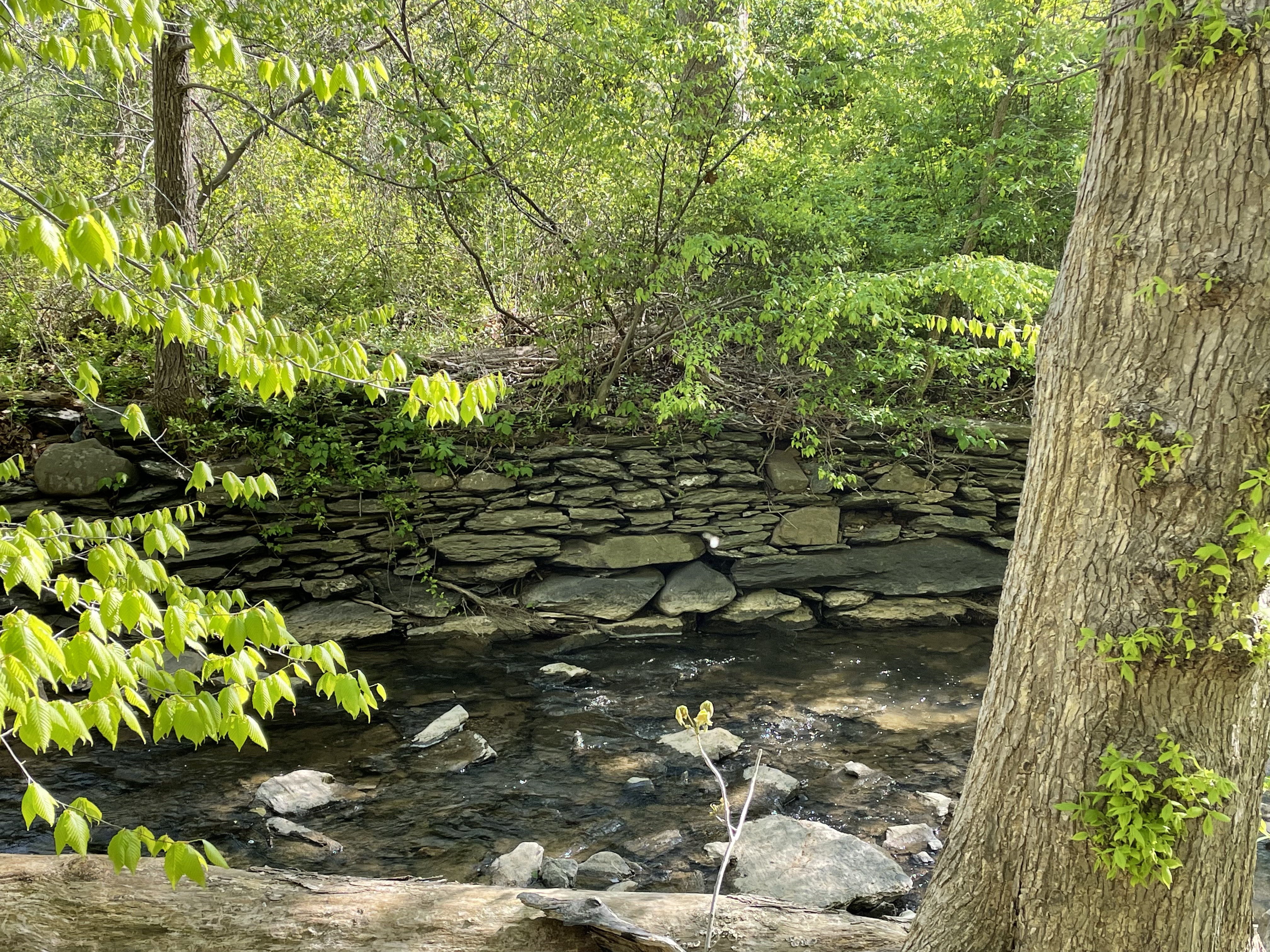
The ready supply of fragments of flat rock to construct the canal came from many exposures of the same schist we saw at Great Falls and River Bend Park (1000 to 500 Ma old).

The chemical alteration of the original sedimentary rock (mud deposited more than one-billion years ago) to concentrate quartz (Fig. 8) is evidence of very high temperature and pressure caused by deep burial and deformation during a geological process called metamorphism.
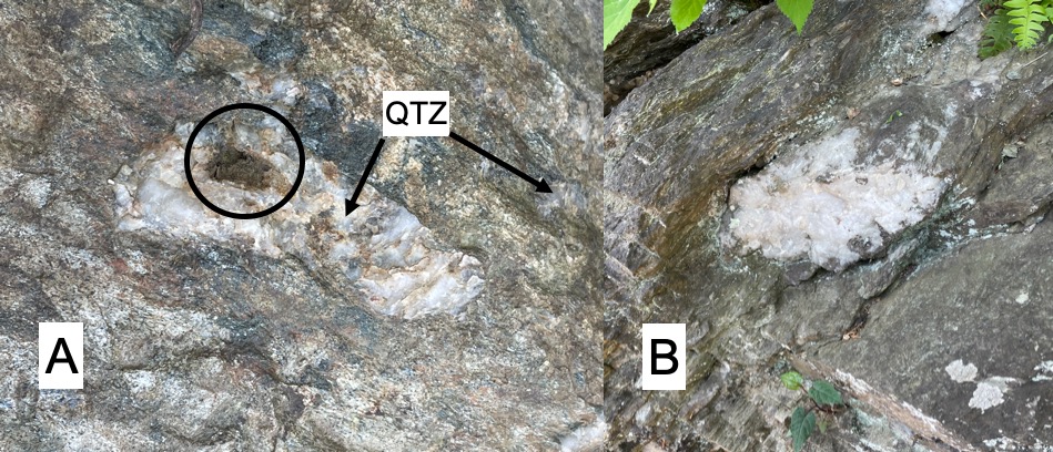
The formation of quartz porphyroblasts within a foliated rock like schist suggests that heat and pressure were distributed irregularly within the study area, melting the silica out of the parent rock but not destroying its original sedimentary layering. This is a fine line that is poorly understood because the extreme temperatures and pressures that produce schist can only be reproduced in the lab at scales less than a millimeter.

Figures 8 and 9 are from the same exposure, taken less than 100 feet apart horizontally, and maybe (I’m guessing) about 30 feet separated them vertically (in their original reference frame). These schists were tilted by normal faults that occurred hundreds of millions of years after deformation, during the breakup of Pangea.
The path took us to Site B (see Fig. 2 for location), along a very shallow channel nearly blocked by a gravel bar (Fig. 10). The Potomac flood plain was wider here but erosion was just as evident as further upstream.
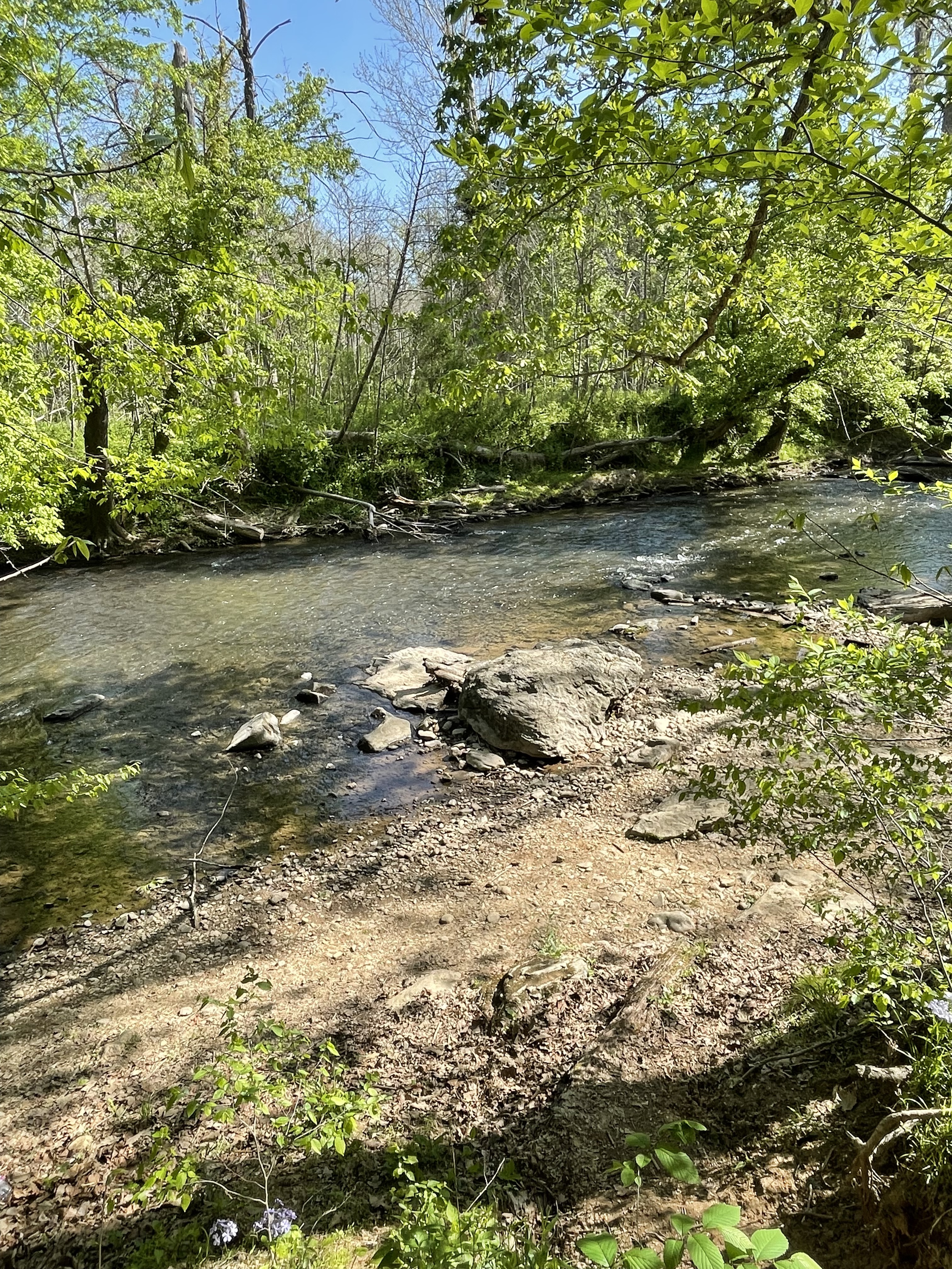
The Potomac’s floodplain is much narrower here than further upstream, as revealed in the topographic map (Fig. 2). Note the number of valleys leading to the Potomac in Seneca Park. However, because of the sudden decrease in channel size, a bottleneck is formed that causes substantial deposition. This created the islands seen in Fig.2 in the past as well as a well-developed flood plain (Fig. 11) characterized by greater foliage than at Horsepen Run. It floods frequently at this bottleneck because the river’s flow is constrained to a narrow and shallow channel as the Potomac approaches Great Falls.
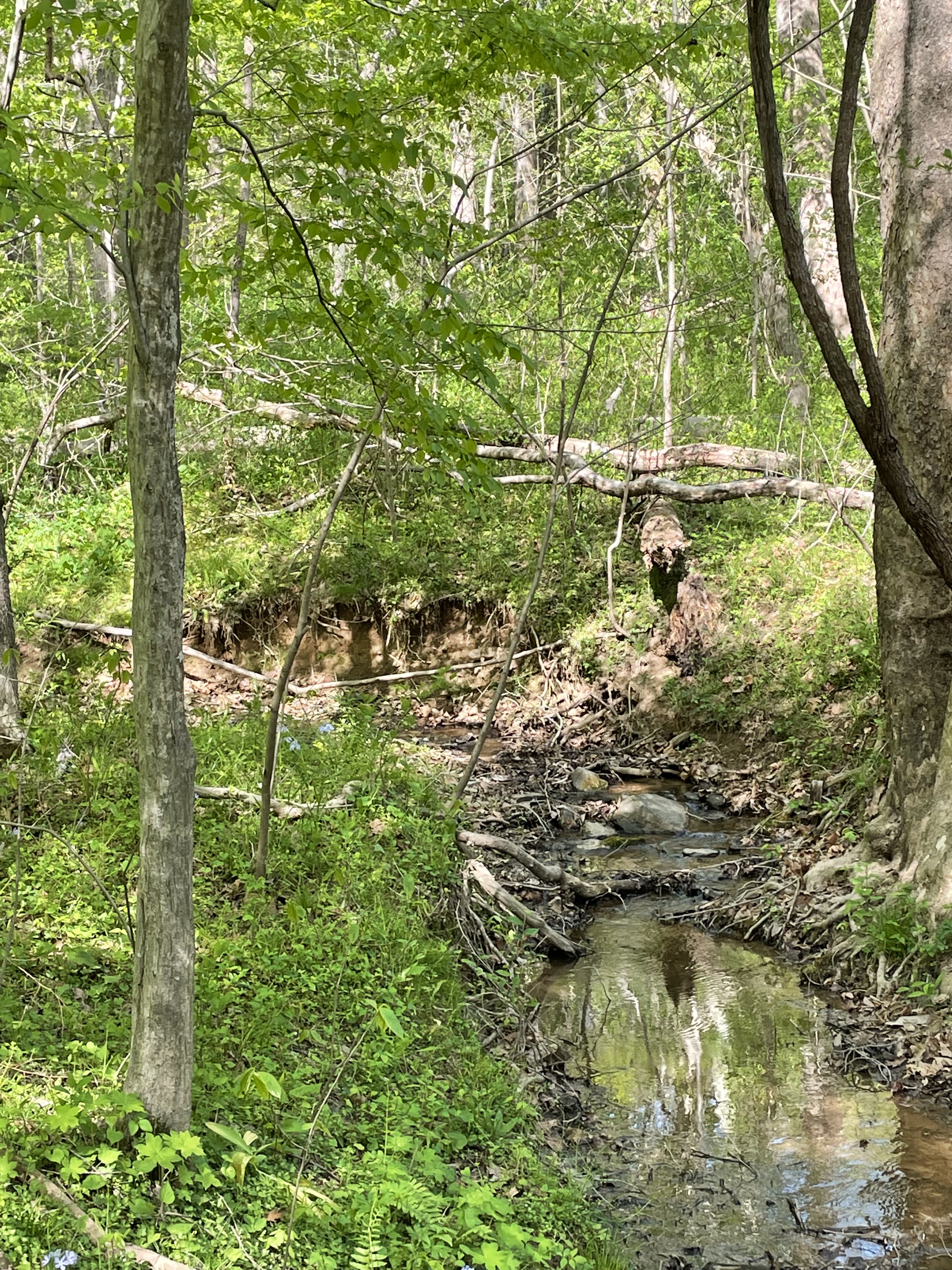
The return to the parking lot (labeled P in Fig. 2) followed a steeper valley lined with outcrops of the same Precambrian schist we saw at Site A, with foliation oriented the same (dipping to the south). The stream followed the rocks (along strike) to the southwest, finding an irregular path around bedrock that surfaced constantly. There were many ledges and dead ends, resulting in shallow pools, along the meandering path the stream had forged in its effort to join the Potomac (Fig. 12).

This was an interesting field trip. We saw how the rocks can rise up from the bowels of the earth to change the character of rivers, where they flow and what they can transport.
Maybe someday we will understand the earth well enough to explain Figs. 5, 10 and 11, using the geological clues presented in Figs. 7-9. The highest mountains and deepest canyons are the result, in large part, to the secrets hidden within the material science of geochemical processes.
Someday we may move mountains…

Trackbacks / Pingbacks