
Wheeling in the Mississippian
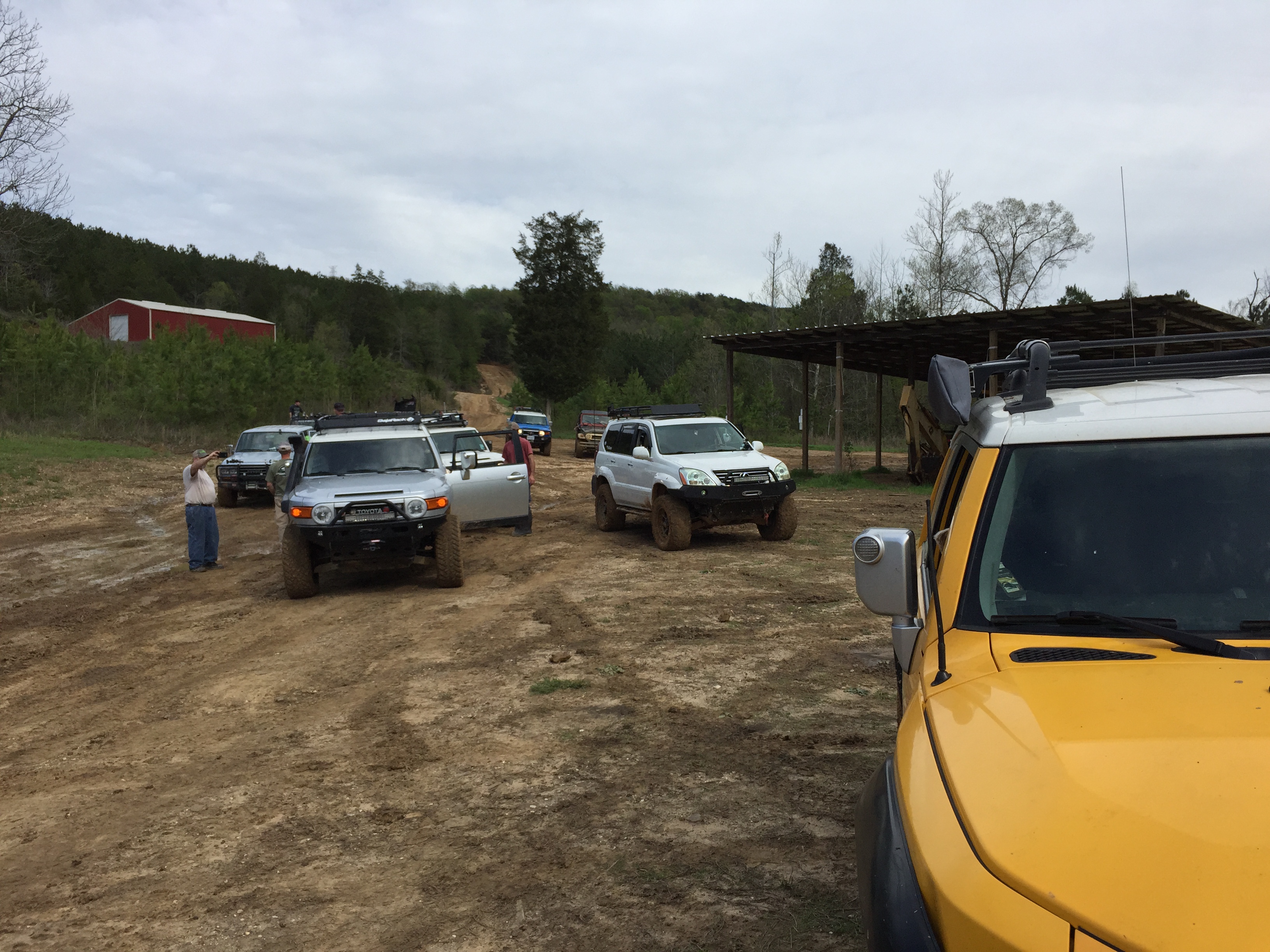
This post attempts to relate the previous comments to the four-wheeling experience in northern AL. First, I am going to show some photos of trucks meeting these rocks up close. This photo says a lot about HPORV park…my truck is parked on a flat, muddy, area with 3-6 foot ledges to the right side.
This was taken in the Hartselle Fm., which contains sandstones and shales (i.e. sand and mud). The shale was originally mud and when the shale, which is the rock that results from ~20 km depth of burial, is exposed to rain and weathering, the result is mud! This same spot is slimy when it rains (which it did the same night after this photo!). But it is not a mud hole because it is underlain by sandstone rock, which prevents deep erosion by truck tires.
I just had to show my trail companions’ response to this wheeling experience…they only get up when thrown to the floor during downhill stretches and when I set the parking break…LOL
This photo, taken the next day, shows how the trail changes after a heavy rain and the mud is liquefied by vehicles and hysteresis.
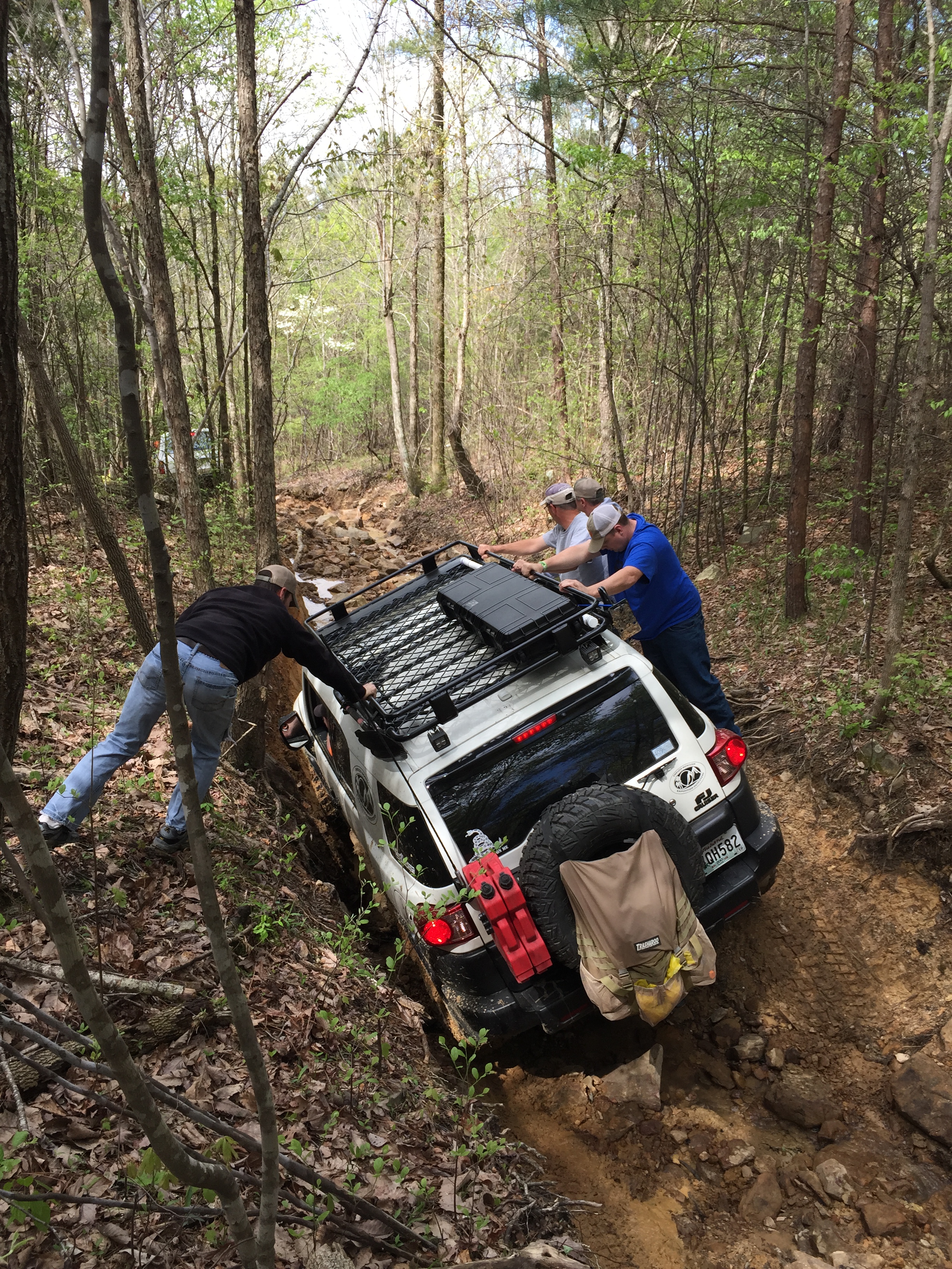
When the trail crosses a natural drainage (it rains in AL!), the crossing is very difficult, as demonstrated by our trail leader, who had to winch himself…the rest of us used tow straps or made it (50/50).
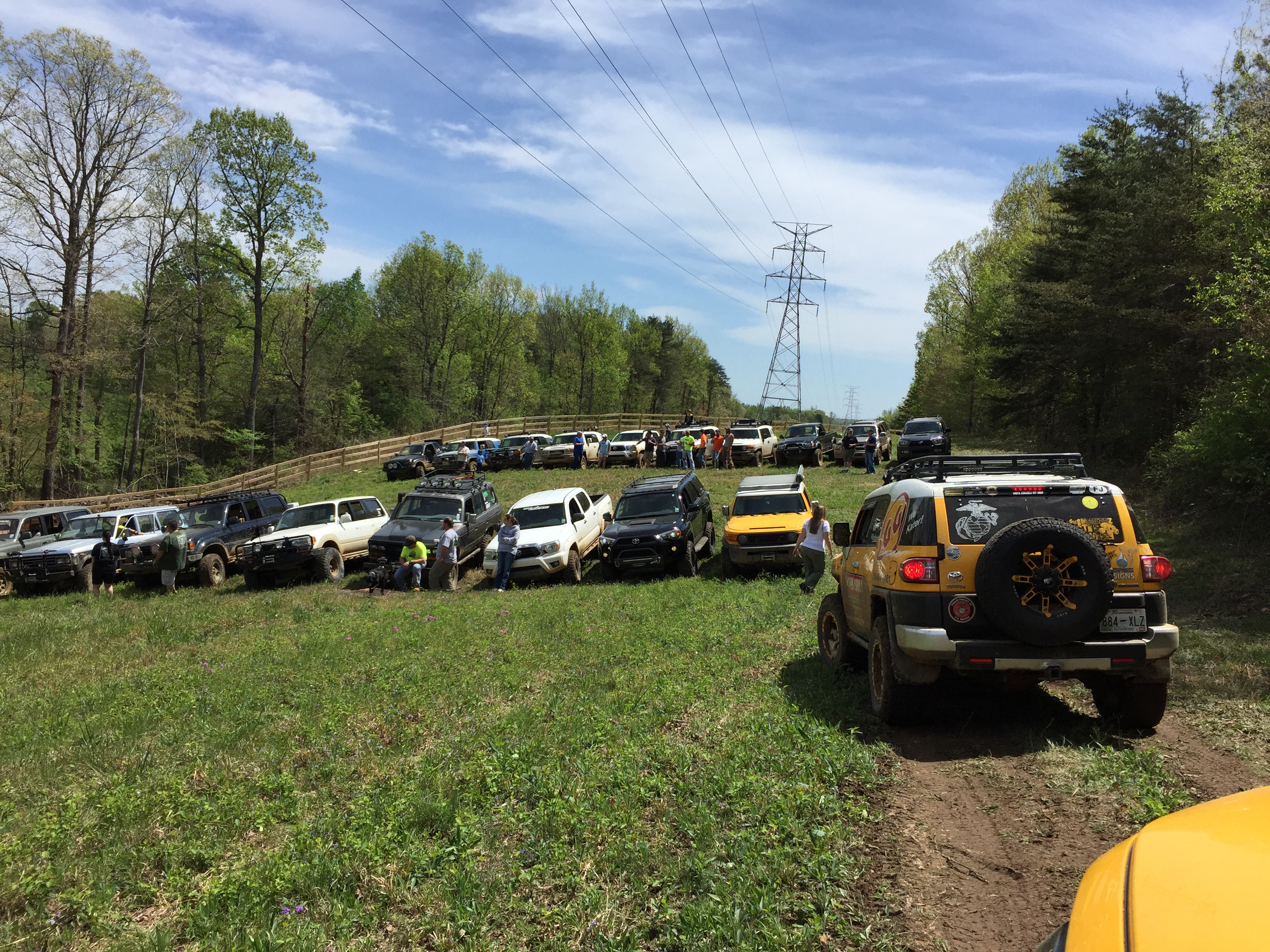
The geologic map uses the symbol Qal for the recent (~10000 years) sediment that accumulates at the of bottom hills like those surrounding Thompson’s Draw. Here is a photo of everyone breathing a sigh of relief near the lowest point of the park…the lowest point includes the “mud bog”, but it was just too hard to get there after the rain…LOL!
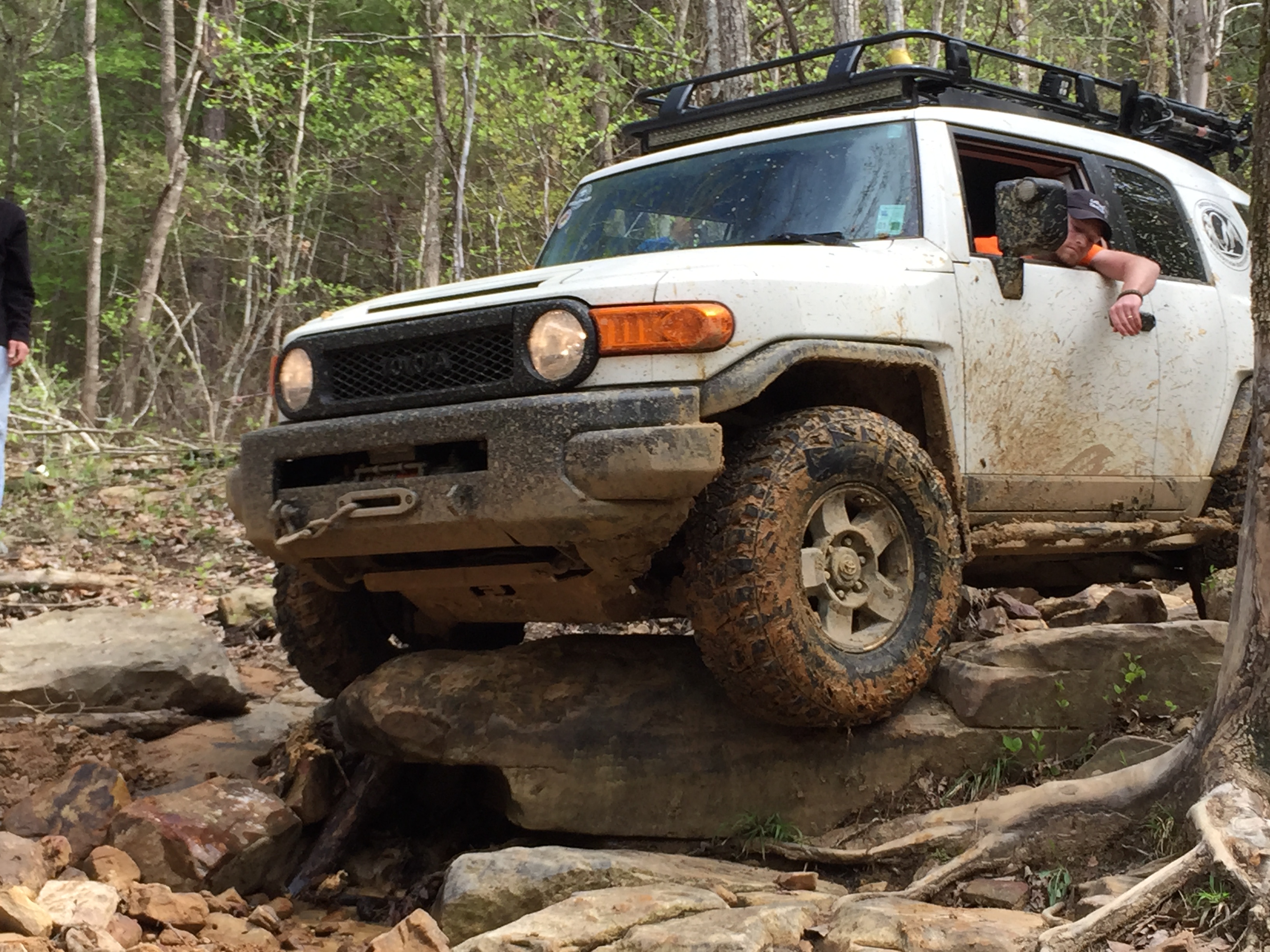
One of the results of weathering of a sandstone is the accumulation of blocks downhill. I showed some photos of these in a previous post. We took a trail on the north side of Big Hill that shows what this is like up close. This first photo shows the entrance to a natural gulley, which really works the suspension.

It took some human weight to keep this truck on track…
And then he had to drop over a ledge of Hartsell Fm. sandsone, which proved too high for his truck…
He got some winching from the trail leader and made it until an even bigger ledge appeared (sorry, no photos…I was helping…LOL). I made it down this ravine with no assistance partly because it is always easier to follow and see how the rocks fall (so to speak). My last photo is of the tranquil scene from the top of the Hartselle, where rain and snow haven’t produced the difficult landscape we traverse below.
My final comments relate to the similarity of the environment ~320 mya and those today, notwithstanding the elevation changes. These rock were all flat and all relief is due to erosion. This is very different from the situation 1000 miles to the north, where the slightly younger Pennsylvanian Pottsville Fm. represents the mountain building occurring there at this time (see my previous post). The northern ancestral Appalachian Mtns were close to the massive collision whereas the southern extent (i.e. AL) was a more peaceful environment, with barrier islands, bays, mud flats, and shallow seas. Even after ~300 million years we encounter this geologic memory of those environments, remembering that our ~400 feet drive up and down Big Hill traverses about 20 million years…LOL!

Trackbacks / Pingbacks