
I’m Sinking and I Can’t Get Out!
The other newsworthy geological process in Florida that has been going on (like an ox pulling a medieval plow) since Miocene time (23-5.3 MA) is the chemical dissolution of limestone (LS) by slightly acid rainwater. The geological term for these terranes is karst topography. The end products of this dissolution over geologic time are features we call sinkholes. But sinkholes are also a lot of fun!
The Fla. geologic map (below) shows that southeast of Tallahassee is a much older rock, the Miocene St. Marks Formation (symbol Tsmk on the map). These rocks are covered by a thin veneer of sand from when sea level was much higher (~300 feet at the max).

The St. Marks Formation is uneven at the surface and these sinkholes can be quite deep, as seen at this monster that was called “Big Dismal” by the locals.

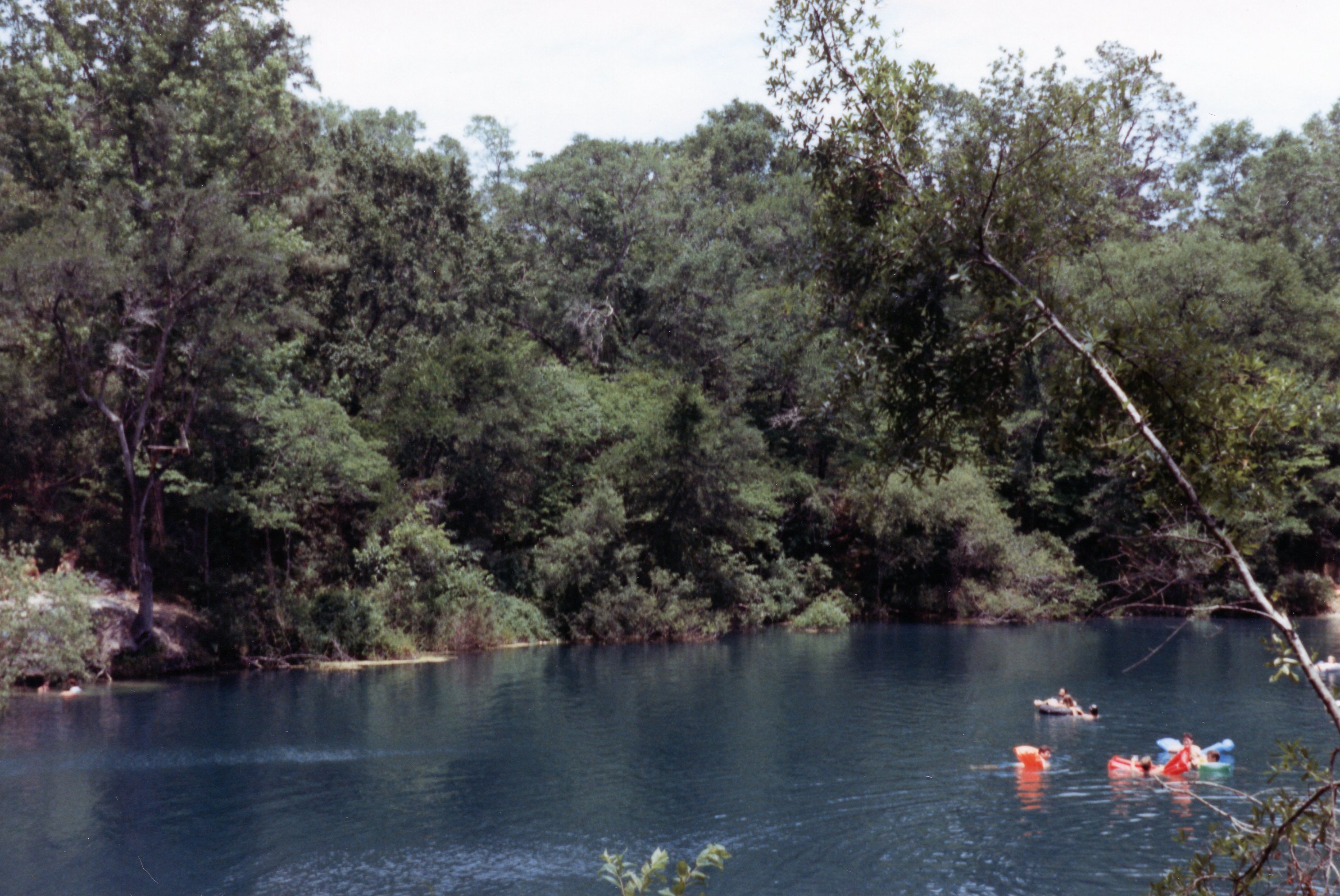
If you had the nerve, you could leap from a pine tree ~75 feet into a blackwater hole with floating logs. I didn’t make it, I must admit. Of course, not all sinkholes are so dark and hard to find. Cherokee Sink, which is actually known to Google Earth, was a favorite hangout for everyone. Lots of family fun in the pine woods.
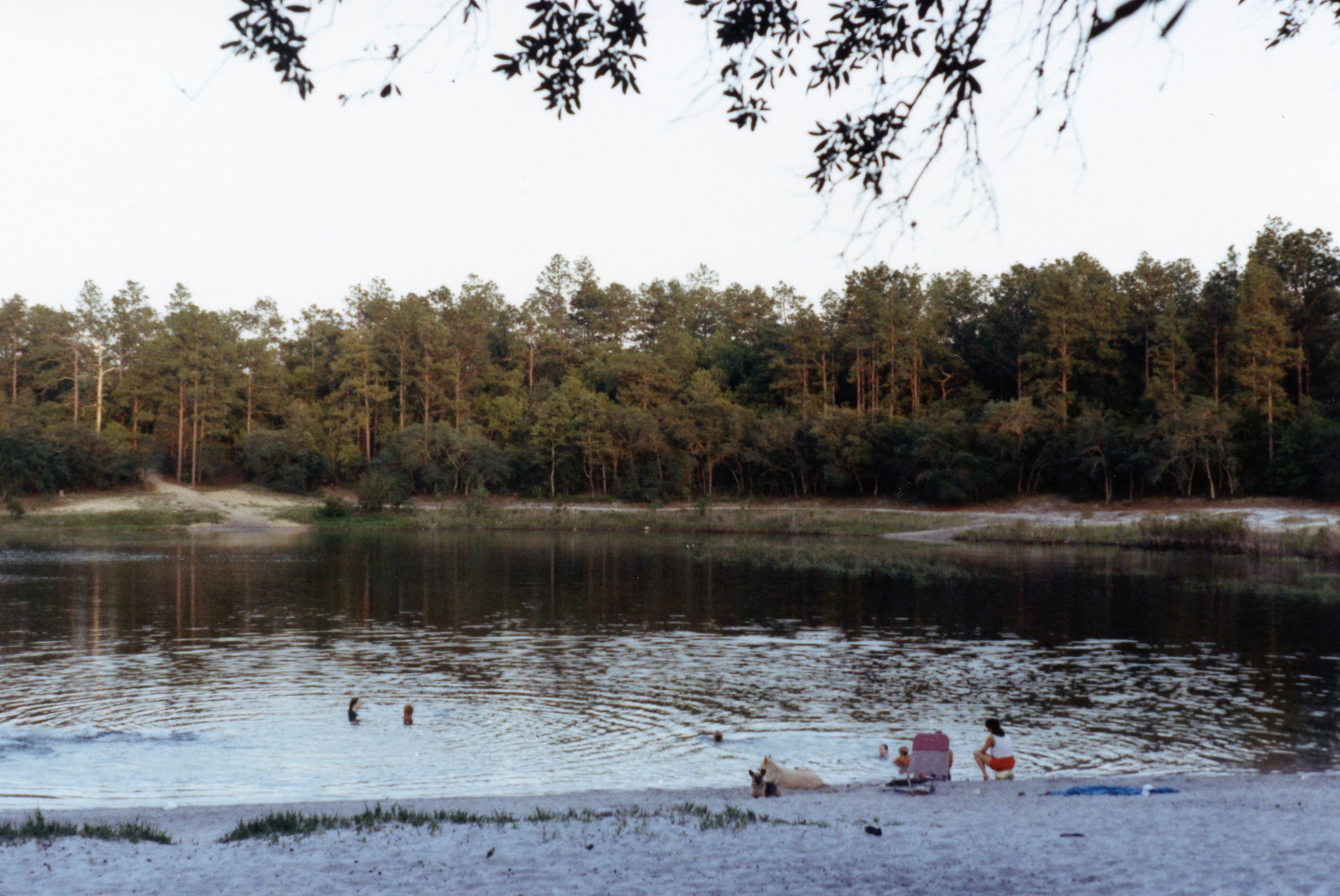
It was pretty easy to go out into the woods and need 4WD; I pulled a lot of 2WD vehicles out because the drivers’ miscalculated the lack of adhesion (and thus traction) in millions of individual quartz grains <1 mm in diameter. The Holocene sand sheet is slightly thicker west of Tallahassee (Qal on map) and has partly filled in sinkholes. This is also approaching the northern limit of the Miocene reef that produces the Karst terrane. A good example is the happy hour fun place called Turtle Lake (note it becomes a lake when filled with sand).
This post documents my last travel/geology/offroad activity for a few years but I am back…

Trackbacks / Pingbacks