
Rubicon and the Sierra Nevada Batholith
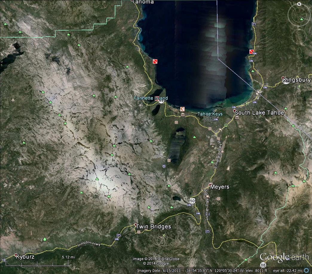
If an orogeny lasts a long time over a great extent of space, plutons overlap and produce batholiths like the Sierra Nevada. This batholith is seen from space as the large white area in this GoogleEarth image.
The extent of the batholith is seen in in a geologic map of California.
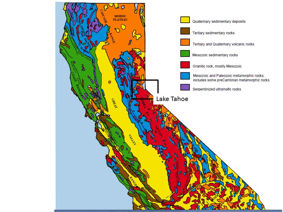
The small rectangle is the approximate location of the famous Rubicon Run from Morristown to L. Tahoe, California. I made this run with some fellow offroaders in 1983. The granites are shown in red, which is a lot bigger than the Harney Granite pluton. It isn’t much higher, however, with peaks at ~8700 feet. These intrusive rocks are also much younger, being intruded over millions of years during the Mesozoic period (~88-210 million).

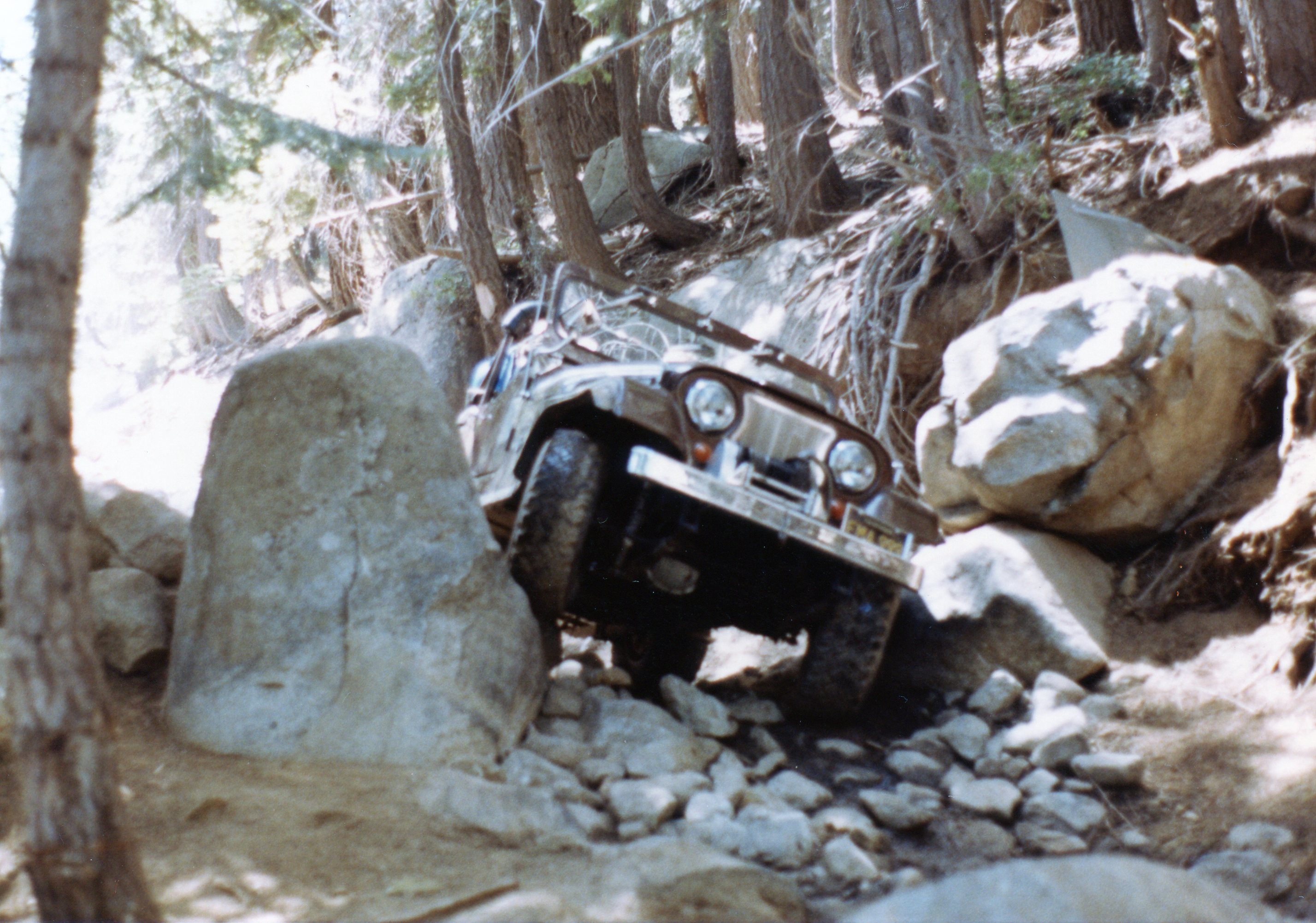
The climb into the Sierra Nevada batholith is thru scenic forests that become primordial on the trail, with streams and many boulders. The trail is difficult to find without a guide over the solid granite mountain.


More “gates” that keep large vehicles out finally lead to a glacial valley at the top, where a couple of days are spent camping.

After a rest and any needed repairs, we head downhill to the south shore of L. Tahoe and a great meal before heading back to the Basin and Range.
 <
<

Recent Comments