
Colorado’s Turbulent Past: The Proterozoic Wet Mountains
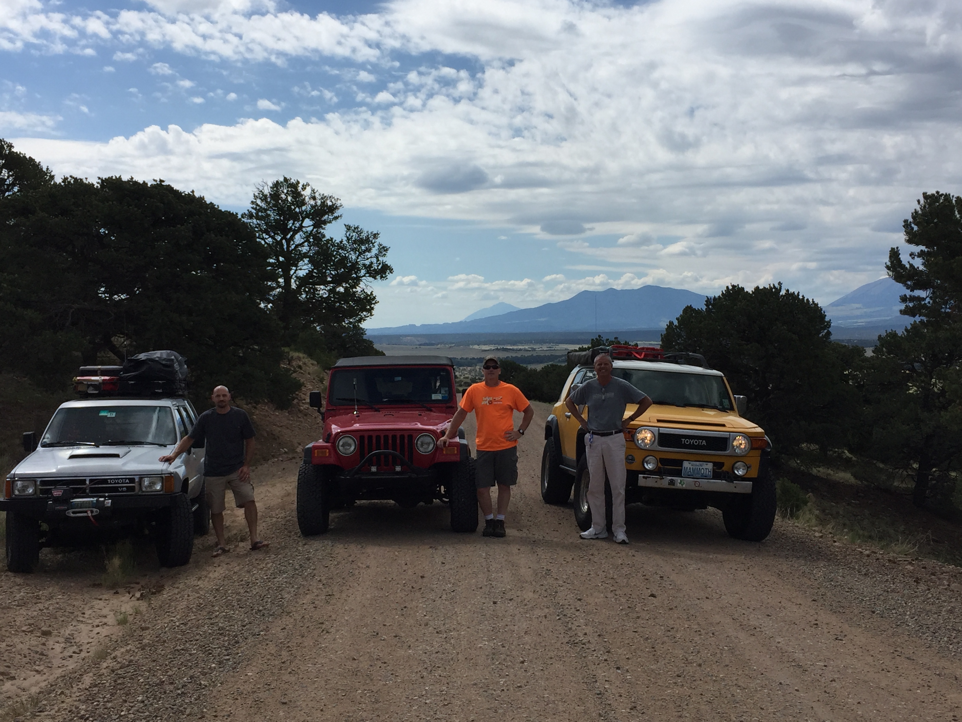
This post begins our trip on CO 69 after we left I-25 about 60 miles south of Colorado Springs. We joined the TAT as we entered the Wet Mountains, a granitic batholith that was intruded about 1.5 billion years ago when this part of N. America was colliding with island arcs (e.g., Japan and Asia today). We left the pavement on a gravel road that is typical of granitic terrains because the quartz and Na feldspar (i.e. albite) forms grains that resist chemical weathering. Here is a photo of our journey’s start.
The second photo is the Spanish Peaks, which are Tertiary (66-2.6 mya) intrusions that look like the old granites but are obviously much younger. As we approach our starting point, we drove over some remnants of the Cretaceous and older sediments I mentioned in the previous post. These younger rocks were originally deposited on the eroded surface as the Proterozoic intrusions (i.e. granite) were exposed over hundreds of millions of years. Now these sedimentary rocks have been in-turn eroded to expose (again) the granites. Geologic history is pretty complex in CO! It became obvious that we were climbing on top of a batholith as we reached >9000 feet within a few miles of our starting point.

This is a photo from a pass near the top of the batholith. This photo shows what the outcrops (aka exposures) of this granite look like.

I took some photos without magnification to show the mineral composition of the intrusion. Here is a photo of a hand sample to identify the minerals.

This rock has a mixture of both Na (sodium) and K (potassium) feldspars and quartz, as indicated. It also contains a dark mineral that is not platy and thus is either pyroxene or amphibole (i.e. like pyroxene but with water in the crystal structure). I don’t see any muscovite (a light-colored platy mineral); this assemblage indicates that it crystallized from a melt (the source liquid of the rock) that came from continental crust originally, but the lack of obvious muscovite suggests to me that it was not a highly fractionated (reprocessed) crustal source. I infer this because muscovite is found in rocks containing rare elements like lithium, beryllium, and tantalum, that require multiple rock forming stages to form minerals (they are mined for these elements).
We descended from the top of the batholith to McKenzie Junction (indicated on the map from the Prologue), where we found the host rock (aka country rock) that this granite intruded into ~1.5 billion years ago (bya). The overlying rock has been identified as a metamorphosed volcanic from chemical analysis, but in the field I really couldn’t say if it was basaltic in origin or a shale (both contain similar dark fine-grained minerals). I found really good exposures that showed how the margins of the liquid granite squeezed into the host rock. Here are a couple.

This is a great photo because it shows the banding of light and dark minerals in the metavolcanic host rock separately from the veins of the intrusion. The banding in the host rock occurs because lighter colored minerals like quartz are formed from elements that are squeezed out of the original homogeneous rock under very high temperature and pressure when mountains are formed. Miners look for these veins when searching for gold, silver, and other valuable minerals but they ignore the metamorphic banding, which has been folded during metamorphosis.

This photo shows some of the host metavolcanic rock (from ~1.5 bya) that was not under enough heat and pressure, etc. to form separate layers like the previous photo. Instead, the veins from the granite intrusion are the only banding visible. This photo was taken only less than one mile from the previous, indicating that the conditions (pressure, temperature, chemistry) within the host rock were highly variable when the veins were created.
There are a couple of other points I would like to mention. First, the creek where the last two photos were taken was generally following the NW-SE trend that has been identified as a fundamental weakness in the deep crust of CO, and thus any more recent movement has followed this trend. This is true of the famous mines like Leadville as well; even the Laramide (Tertiary) mountain building that produced the modern Rocky Mts. follows this trend. The second point is that the greater abundance of minerals containing Calcium (Ca) weather from water action easily and the trails along this creek were muddier than those on the eastern side of the Wet Mountains. Calcium doesn’t fit into very many crystal structures well, except for clays, and we know what clay makes…MUD.
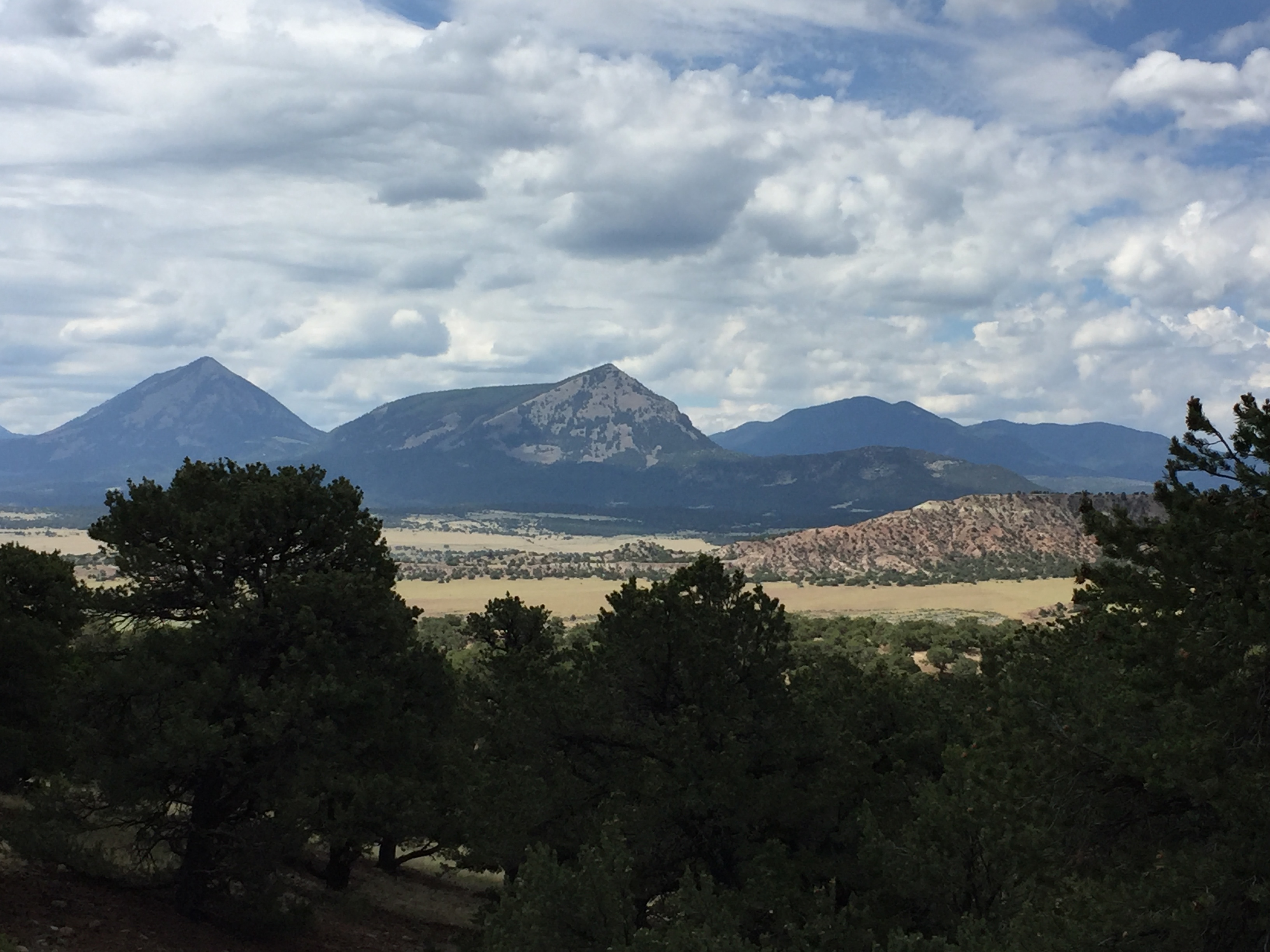
One last point as an aside is that we left the Wet Mountains and arrived at Westcliffe CO, looking on the Sangro de Cristo Range to the west. These are also Proterozoic rocks of metamorphic origin, volcanic and sedimentary. We didn’t go there but here is a photo of them; just on the other side of this range is the Great Sand Dunes Natl. Park.

The last photo I have for this post is of some of the Paleozoic sediments that have survived north of Westcliffe. These were exposed in large cliffs as we travelled northward to go around the Sangre de Cristo Mtns.


Recent Comments