
Spokane, Washington, to Gillette, Wyoming: Geology in the Rearview Mirror
This post is experimental and not particularly interesting, but it is the best I can do under the circumstances; I followed Interstate 90 through the Rocky Mountains at 70 mph, with no pull-offs, and trying to take photos in the heavy traffic would have been suicidal. Instead of including a map, photos of outcrops, and some close-ups to examine mineralogy, I am relying on geological maps and my memory. The most experimental part is that I’m working on an iPad, which is a blessing and a curse. Let’s see how it worked out.


Summary. The oldest rocks (Precambrian metasediments shown in purple shades) are scattered throughout the Rocky Mountains. These old rocks were pushed and pulled for hundreds of millions of years as microcontinents collided to form what we call western North America.
Paleozoic rocks (500-230 my) that would have been deposited on top of them, or intruded into them, are only found in scraps here and there (I’m speculating, but Paleozoic rocks have a habit of turning up in the unlikeliest places).
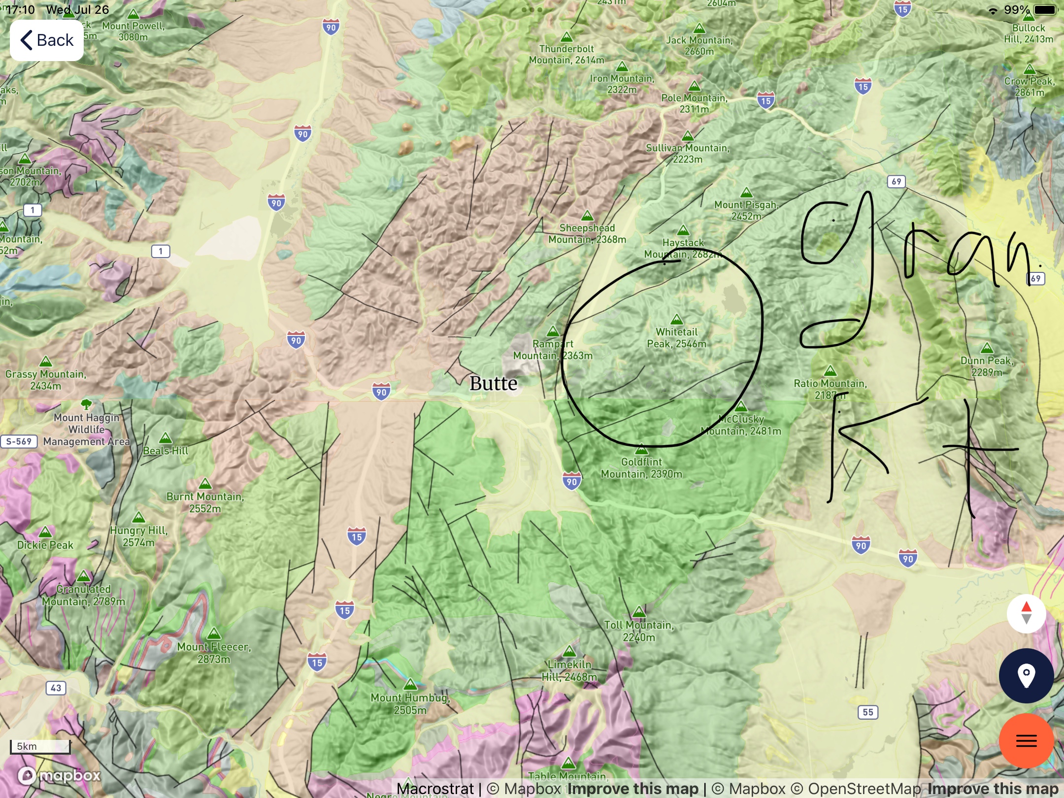
During the late Cretaceous (about 80 my), granitoid intrusions forced their way into these older rocks, as I saw at Butte and other small mountain ranges (pink and tan hues). This was a geologically active period in the evolution of western North America.
About fifty-million years ago, volcanoes formed along the western margin of North America (e.g. Mt Hood and other volcanoes produced thousands of feet of volcanic rock, forming the Columbia plateau (yellow shades in Fig. 5). At approximately the same time (50 – 5 my) sediment was collecting in lakes and shallow inland seas leftover from the Cretaceous Interior Seaway. These sediments are undeformed and not very well lithified (i.e. not buried deeply); they appear east of Bozeman MT as green in Fig. 5.
Hidden beneath the Precambrian rocks, which were pushed eastward as much as 150 miles in Canada, and Miocene sediments, lay the oil and coal rich Cretaceous sediments laid down between about 150 and 60 my ago. As proof of this, Billings MT (rightmost circled area in Fig. 2), with a population less than 150 thousand, has three oil refineries; but it is so remote, with so little infrastructure (e.g. pipelines), that trucks deliver refined petroleum products to rail cars. It is a modern western boom town.
We’ll see what tomorrow brings …

Recent Comments